Brockhampton (Bromyard Bringsty Ward)
Civil Parish in Herefordshire
England
Brockhampton (Bromyard Bringsty Ward)

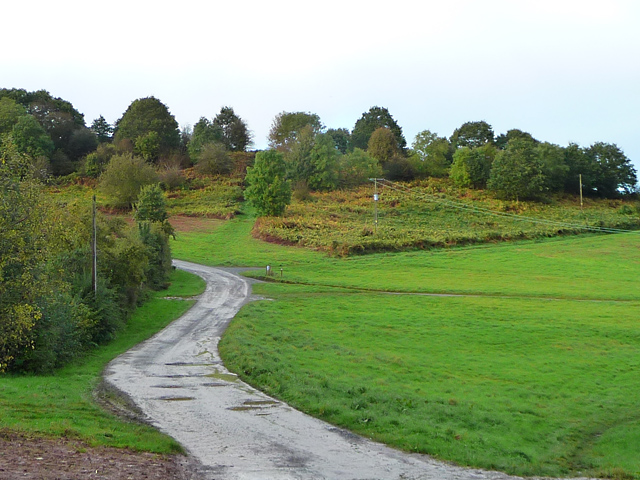
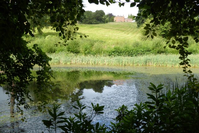
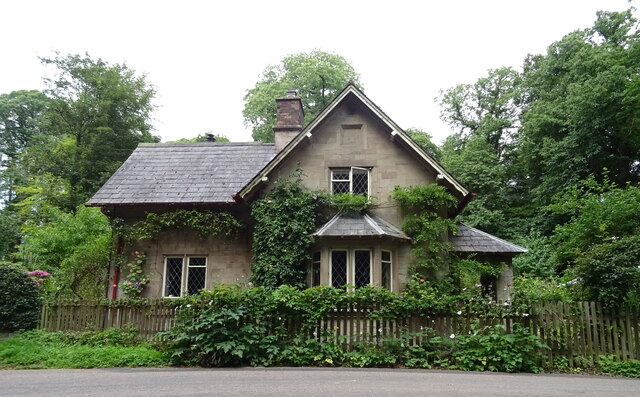
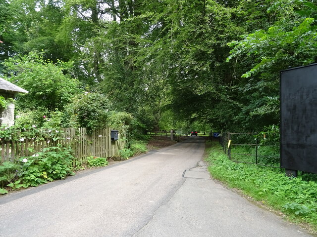
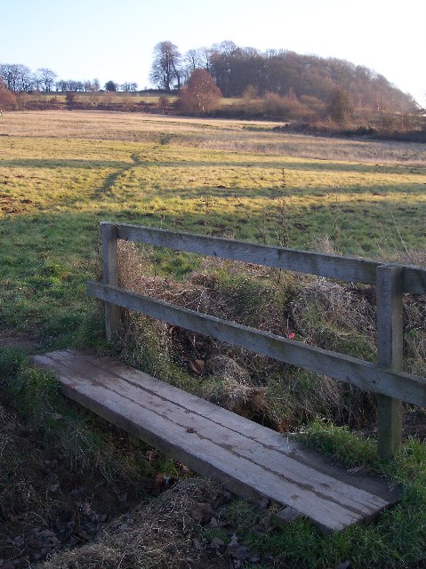
Brockhampton is a civil parish located in the Bromyard Bringsty Ward of Herefordshire, England. Situated in the West Midlands region, this rural community covers an area of approximately 7 square kilometers. The parish is nestled amidst the picturesque countryside, characterized by rolling hills, lush green fields, and charming farmhouses.
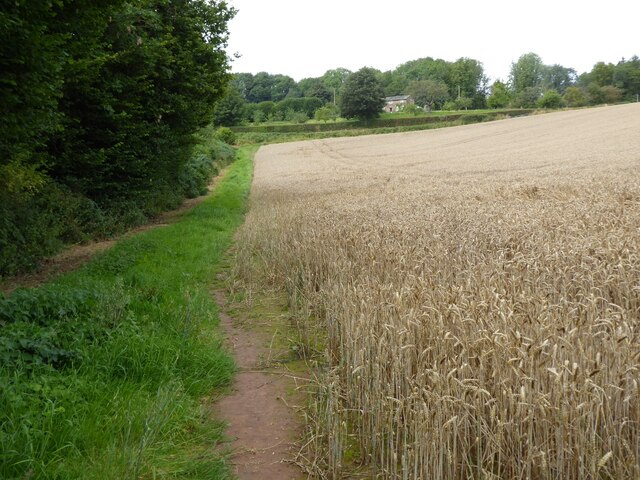
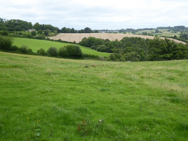
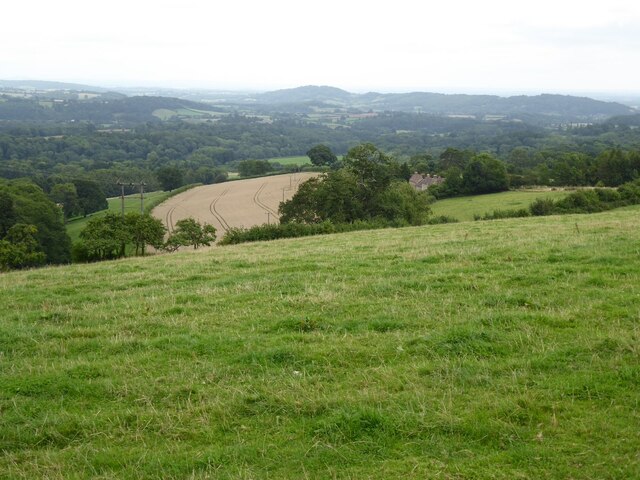
The village of Brockhampton itself is small but picturesque, with a population of around 300 residents. It is known for its peaceful and idyllic setting, making it an attractive destination for those seeking a quiet and serene lifestyle. The parish is surrounded by natural beauty, including the nearby Bringsty Common and the Bromyard Downs, which offer stunning panoramic views of the Herefordshire countryside.
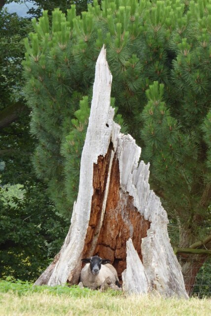
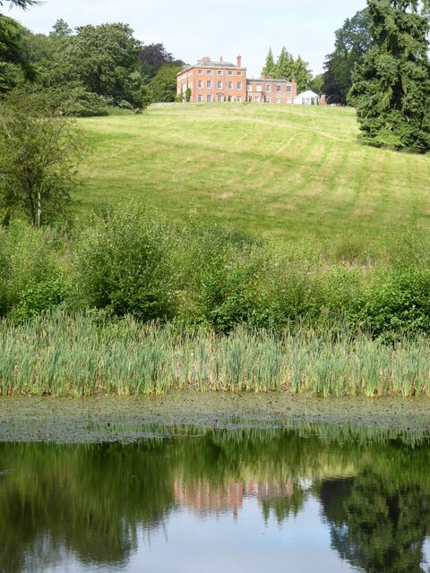
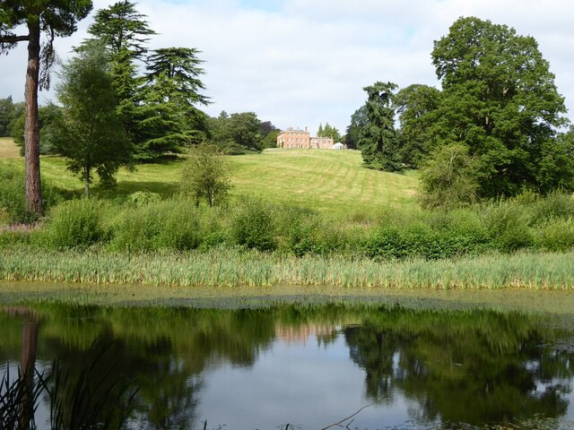
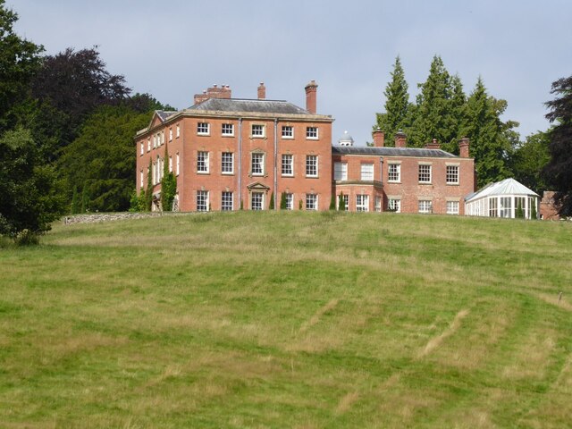
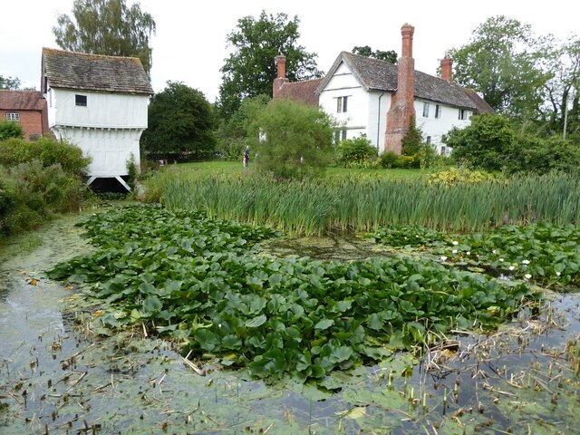
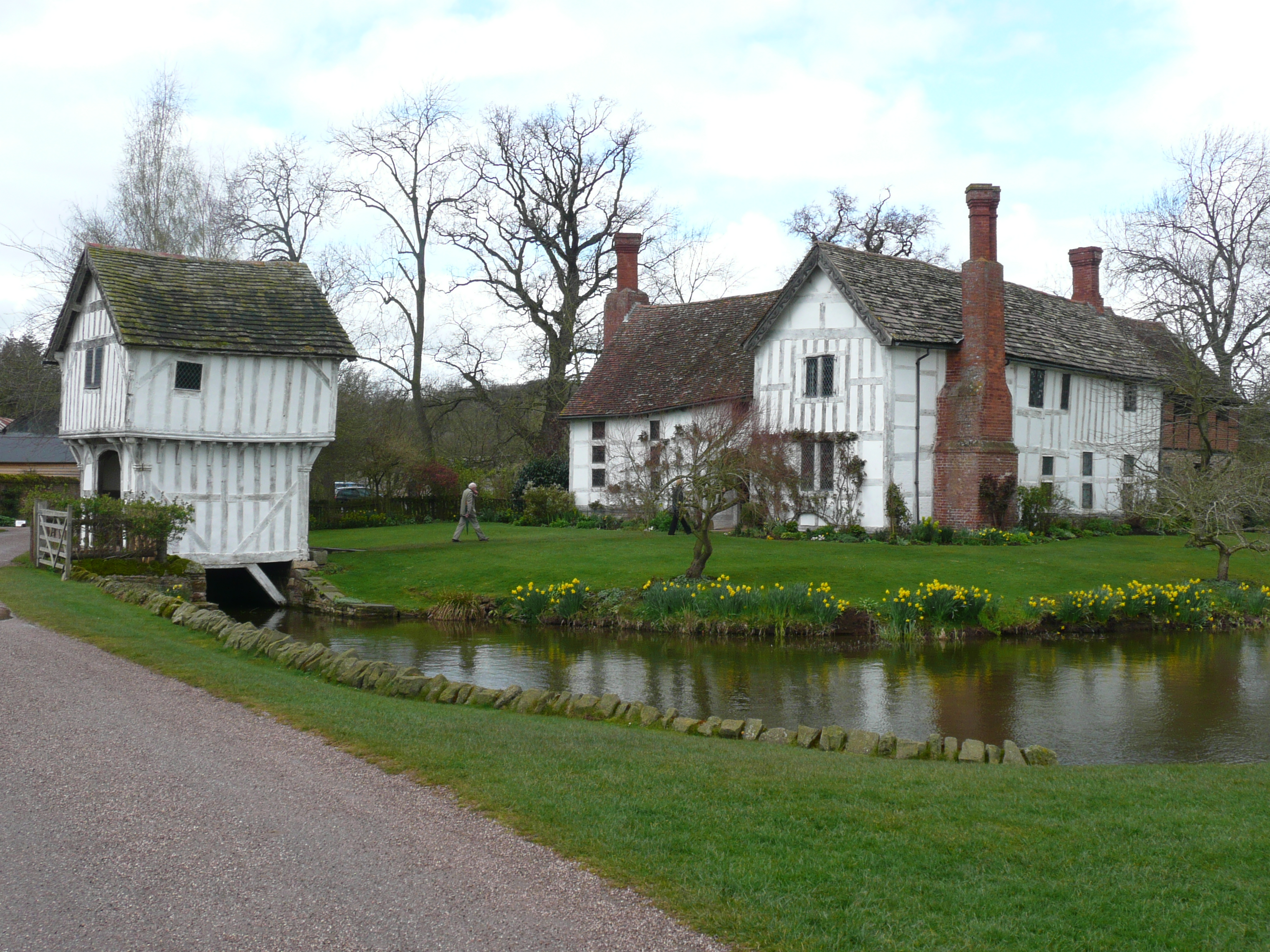
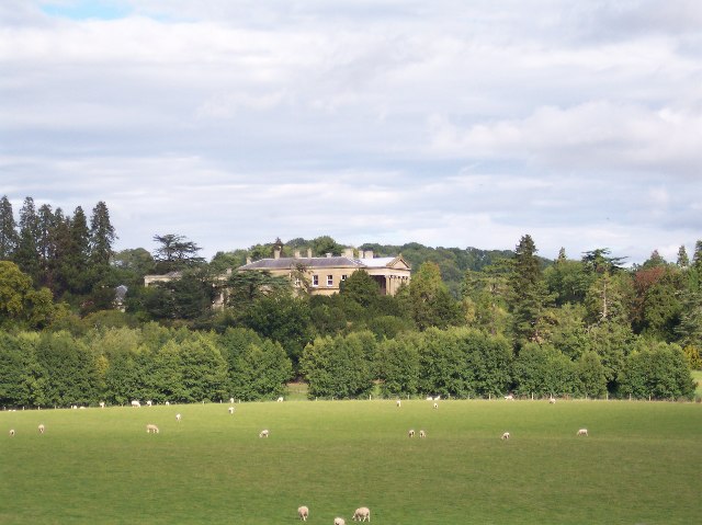
Historically, Brockhampton has strong agricultural roots, with farming being a significant part of the local economy. The parish is also home to Brockhampton Estate, a National Trust property that features a beautiful timber-framed manor house dating back to the 14th century. This historic landmark attracts visitors from all over, who come to admire its stunning architecture and explore its well-preserved gardens.
Despite its rural setting, Brockhampton benefits from good transport links, with the A44 road passing nearby, connecting it to the larger towns and cities in the region. The parish also has a close-knit community, with various local events and gatherings held throughout the year, fostering a strong sense of community spirit.
In summary, Brockhampton is a charming and picturesque civil parish in Herefordshire, known for its tranquil rural setting, historic landmarks, and strong community ties.
If you have any feedback on the listing, please let us know in the comments section below.
Brockhampton (Bromyard Bringsty Ward) Images
Images are sourced within 2km of 52.200133/-2.461264 or Grid Reference SO6855. Thanks to Geograph Open Source API. All images are credited.


Brockhampton (Bromyard Bringsty Ward) is located at Grid Ref: SO6855 (Lat: 52.200133, Lng: -2.461264)
Unitary Authority: County of Herefordshire
Police Authority: West Mercia
What 3 Words
///urgent.ironic.secret. Near Bromyard, Herefordshire
Related Wikis
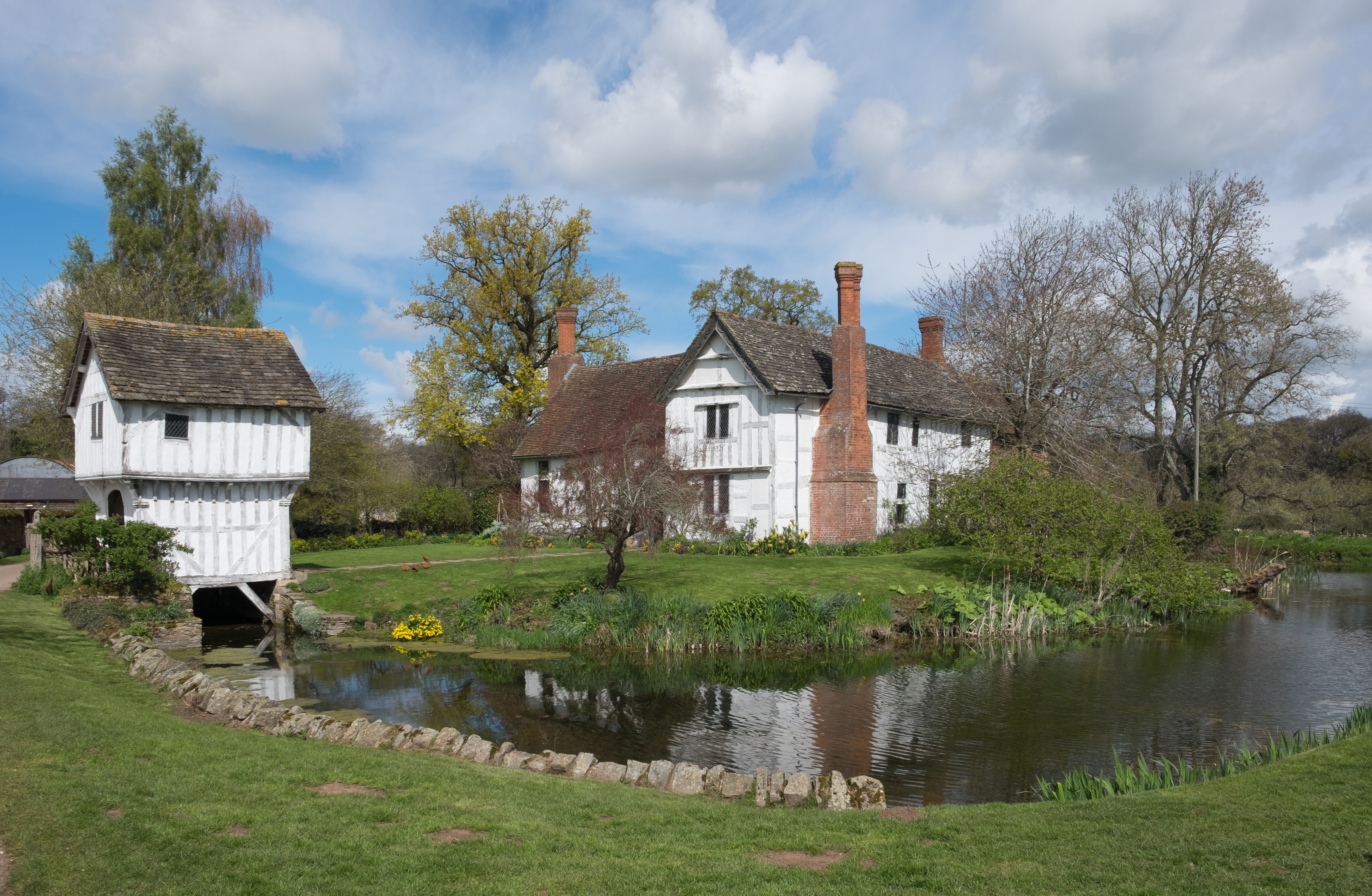
Brockhampton Estate
The Brockhampton Estate is a National Trust property in Herefordshire, England, and is to the north of the A44 Bromyard to Worcester road, opposite the...
Brockhampton (near Bromyard)
Brockhampton is a civil parish in Herefordshire, England, about 4 km (2 mi) east of Bromyard. The parish comprises the National Trust property of Brockhampton...

Bringsty Common
Bringsty Common is a scattered settlement and 220 acres (89 ha) of common land in Herefordshire, England, spanning the A44. It lies close to the Worcestershire...

Linton (near Bromyard)
Linton is a civil parish in north-east of Herefordshire, England, and is approximately 14 miles (23 km) north-east from the city and county town of Hereford...
Bromyard Downs
Bromyard Downs is an area of registered common land, and a scattered settlement, just outside the town of Bromyard in Herefordshire, England. The 114 hectares...
Whitbourne Hall
Whitbourne Hall is a Grade II* listed Greek Revival country house located in the village of Whitbourne in Herefordshire (near the Worcestershire border...

Norton, Herefordshire
Norton is a civil parish in north-east Herefordshire, England, and is approximately 14 miles (23 km) north-east from the city and county town of Hereford...
Bromyard Town F.C.
Bromyard Town Football Club is a football club based in Bromyard, Herefordshire, England. They are currently members of the West Midlands (Regional) League...
Nearby Amenities
Located within 500m of 52.200133,-2.461264Have you been to Brockhampton (Bromyard Bringsty Ward)?
Leave your review of Brockhampton (Bromyard Bringsty Ward) below (or comments, questions and feedback).