Hyde Dingle

Valley in Herefordshire

England

Hyde Dingle

A44 at Bringsty Common The emporium to the right sells antique and reclaimed artifacts.
The cafe is worth a stop too.
A44 at Bringsty Common Credit: Jonathan Billinger

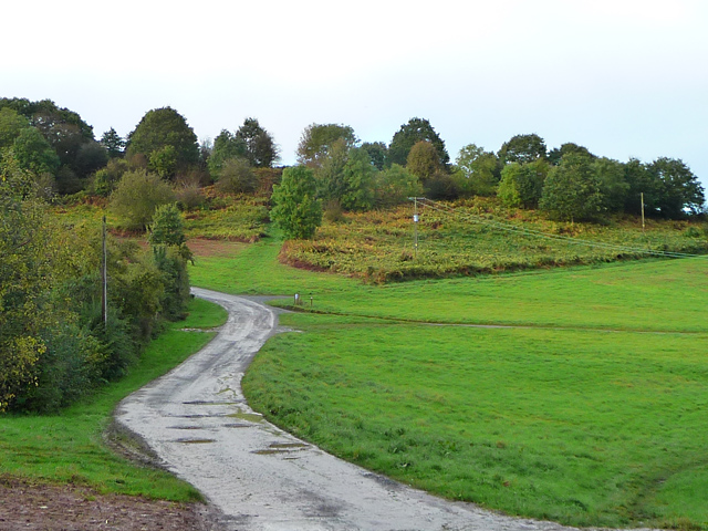
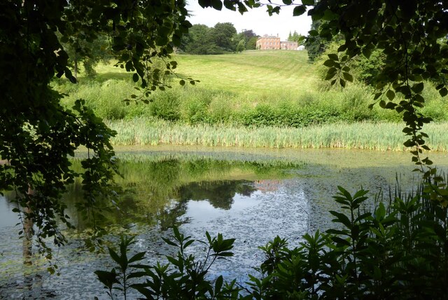
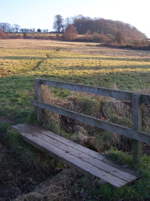
Hyde Dingle is a picturesque valley located in the county of Herefordshire, England. Nestled amidst the rolling hills and lush green countryside, this tranquil valley is a haven for nature lovers and those seeking a peaceful retreat.

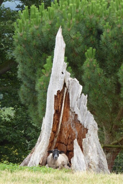
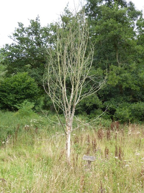
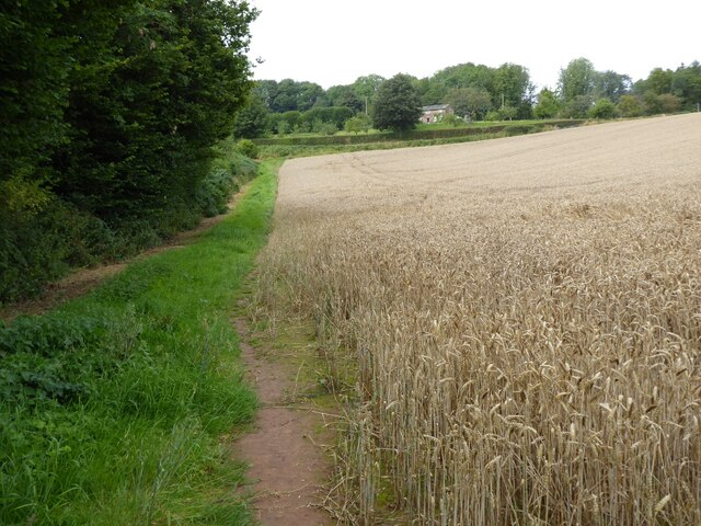
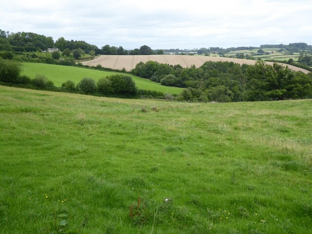
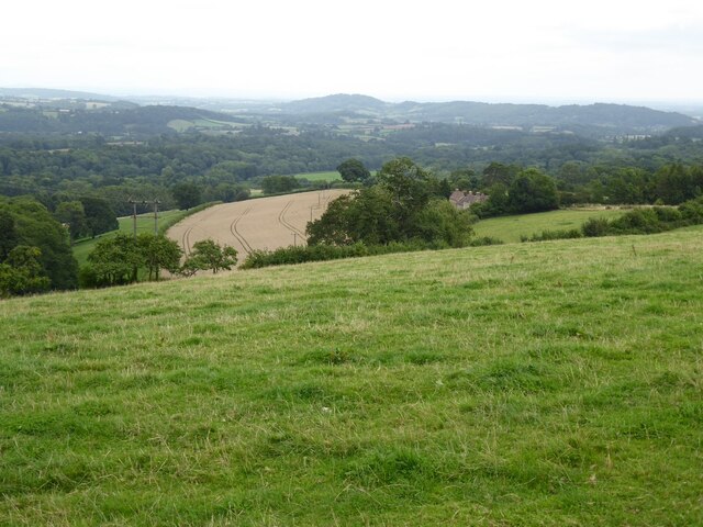
Stretching over several miles, Hyde Dingle is known for its stunning natural beauty, with its meandering stream, verdant meadows, and enchanting woodlands. The valley is home to a diverse range of flora and fauna, including rare wildflowers, butterflies, and various bird species, making it a paradise for wildlife enthusiasts and birdwatchers.

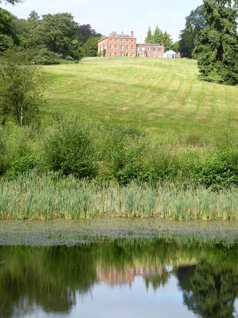
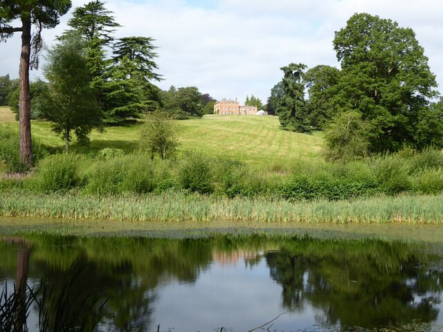
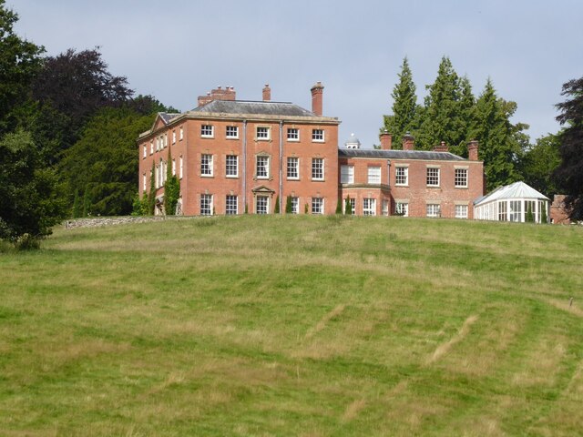
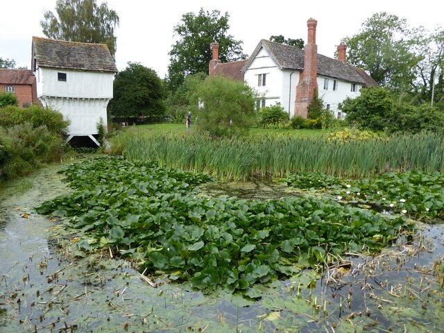
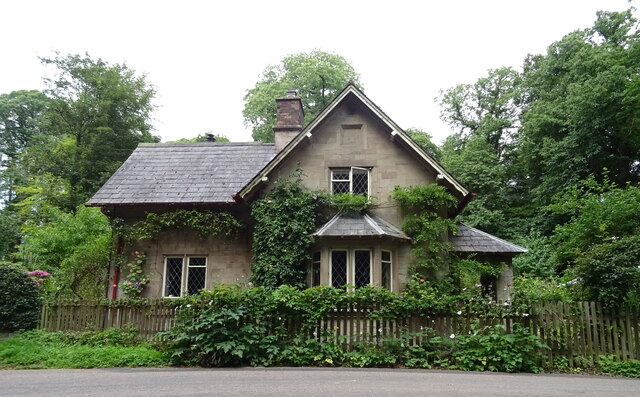
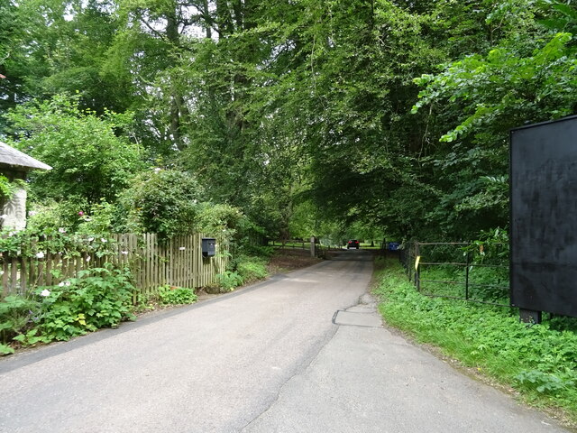
The area surrounding Hyde Dingle offers numerous walking trails and pathways, allowing visitors to explore its scenic landscapes at their own pace. The valley is also dotted with charming cottages and farmhouses, adding to its rustic charm and traditional countryside appeal.

In addition to its natural attractions, Hyde Dingle is also steeped in history and heritage. The valley is known for its ancient archaeological sites, including burial mounds and prehistoric settlements, providing a glimpse into the area's rich past.

Although secluded and peaceful, Hyde Dingle is conveniently located within easy reach of the nearby town of Hereford, where visitors can find a range of amenities, shops, and eateries. The valley is also well-connected to the wider region, with good transportation links making it accessible to tourists and locals alike.

Overall, Hyde Dingle is a hidden gem in Herefordshire, offering a serene and idyllic escape from the hustle and bustle of modern life. Its natural beauty, historical significance, and peaceful ambiance make it a must-visit destination for those seeking a true taste of rural England.

If you have any feedback on the listing, please let us know in the comments section below.
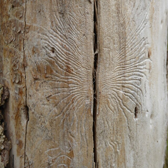
Hyde Dingle Images

Images are sourced within 2km of 52.196557/-2.4601802 or Grid Reference SO6855. Thanks to Geograph Open Source API. All images are credited.

A44 at Bringsty Common The emporium to the right sells antique and reclaimed artifacts.
The cafe is worth a stop too.
A44 at Bringsty Common
The emporium to the right sells antique and reclaimed artifacts. The cafe is worth a stop too.
Roadway on Bringsty Common Looking from close to the Live and Let Live pub.
Roadway on Bringsty Common
Looking from close to the Live and Let Live pub.
Ewe in hollow tree stump I couldn't resist photographing this ewe sitting inside a hollow tree stump when I saw it on the Brockhampton estate.
Ewe in hollow tree stump
I couldn't resist photographing this ewe sitting inside a hollow tree stump when I saw it on the Brockhampton estate.
Brockhampton House reflected in Lawn Pool Brockhampton House reflected in Lawn Pool on the Brockhampton Estate.
Brockhampton House reflected in Lawn Pool
Brockhampton House reflected in Lawn Pool on the Brockhampton Estate.
Lawn Pool, Brockhampton Brockhampton House reflected in Lawn Pool on the Brockhampton estate.
Lawn Pool, Brockhampton
Brockhampton House reflected in Lawn Pool on the Brockhampton estate.
Lawn Pool, Brockhampton rockhampton House reflected in Lawn Pool on the Brockhampton estate.
Lawn Pool, Brockhampton
rockhampton House reflected in Lawn Pool on the Brockhampton estate.
Brockhampton Park Brockhampton Park is a mid-18th century red-brick Georgian house, here it is viewed from Lawn Pool.  The house is Grade II* listed, see: <span class="nowrap"><a title="https://historicengland.org.uk/listing/the-list/list-entry/1176659" rel="nofollow ugc noopener" href="https://historicengland.org.uk/listing/the-list/list-entry/1176659">Link</a><img style="margin-left:2px;" alt="External link" title="External link - shift click to open in new window" src="https://s1.geograph.org.uk/img/external.png" width="10" height="10"/></span> The house is private amidst National Trust owned parkland.
Brockhampton Park
Brockhampton Park is a mid-18th century red-brick Georgian house, here it is viewed from Lawn Pool. The house is Grade II* listed, see: LinkExternal link The house is private amidst National Trust owned parkland.
Lower Brockhampton  Lower Brockhampton is a moated half-timbered manor house dating from the late 14th century, complete with a timber-framed gatehouse straddling the moat. The Brockhampton Estate was bequeathed to the National Trust in 1946 by Colonel John Talbot Lutley. The house is Grade I listed.
Lower Brockhampton
Lower Brockhampton is a moated half-timbered manor house dating from the late 14th century, complete with a timber-framed gatehouse straddling the moat. The Brockhampton Estate was bequeathed to the National Trust in 1946 by Colonel John Talbot Lutley. The house is Grade I listed.
A dead wych elm I remember elm trees being a common tree before Dutch elm disease wiped them out in the 1970s.  Three years ago I was surprised to see a young wych elm tree growing here <a href="https://www.geograph.org.uk/photo/5786065">SO6856 : A wych elm at Lower Brockhampton</a> and sadly as appears to happen the young trees still succumb to this disease.
A dead wych elm
I remember elm trees being a common tree before Dutch elm disease wiped them out in the 1970s. Three years ago I was surprised to see a young wych elm tree growing here SO6856 : A wych elm at Lower Brockhampton and sadly as appears to happen the young trees still succumb to this disease.
Dutch elm disease This pattern on the trunk of a dead wych elm tree was caused by the elm bark beetle which carries the fungi which causes Dutch elm disease and killed the tree.
Dutch elm disease
This pattern on the trunk of a dead wych elm tree was caused by the elm bark beetle which carries the fungi which causes Dutch elm disease and killed the tree.
Permissive footpath Permissive footpath in a field of wheat approaching a cottage on the edge of the Bromyard Downs.
Permissive footpath
Permissive footpath in a field of wheat approaching a cottage on the edge of the Bromyard Downs.
Farmland on the Bromyard Downs Farmland to the north of Hill House Farm on the Bromyard Downs.
Farmland on the Bromyard Downs
Farmland to the north of Hill House Farm on the Bromyard Downs.
View over Brockhampton View over Brockhampton to the Teme valley.
View over Brockhampton
View over Brockhampton to the Teme valley.
Malvern Road (B4220) Junction with the A44.
Malvern Road (B4220)
Junction with the A44.
A44 towards Worcester Heading east.
A44 towards Worcester
Heading east.
Bracken and woodland beside the A44
Bromyard Lodge West lodge to Brockhampton Park off the A44.
Bromyard Lodge
West lodge to Brockhampton Park off the A44.
Entrance to Brockhampton Park
Show me another place!

Hyde Dingle is located at Grid Ref: SO6855 (Lat: 52.196557, Lng: -2.4601802)

Unitary Authority: County of Herefordshire

Police Authority: West Mercia

What 3 Words

///tastings.roosts.chuckling. Near Bromyard, Herefordshire

Related Wikis

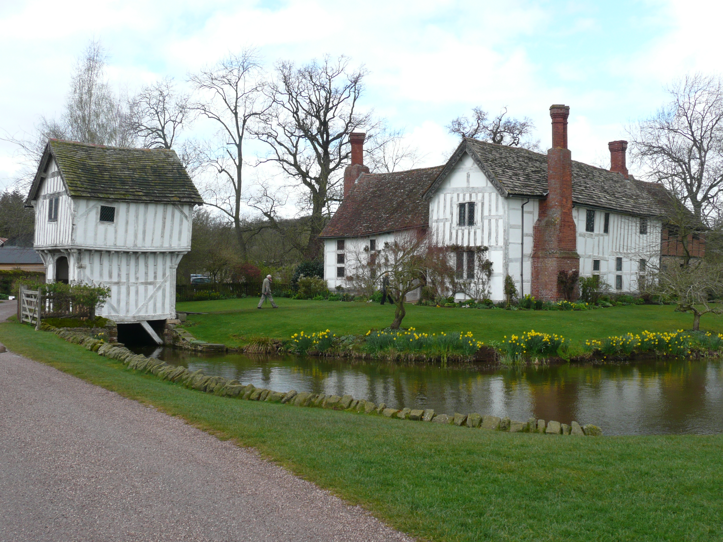
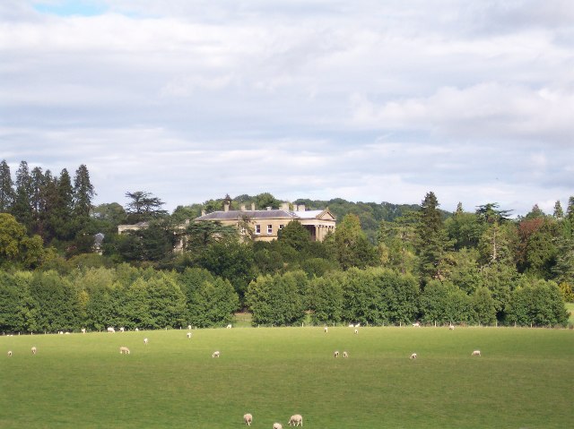
Brockhampton (near Bromyard)

Brockhampton is a civil parish in Herefordshire, England, about 4 km (2 mi) east of Bromyard. The parish comprises the National Trust property of Brockhampton...
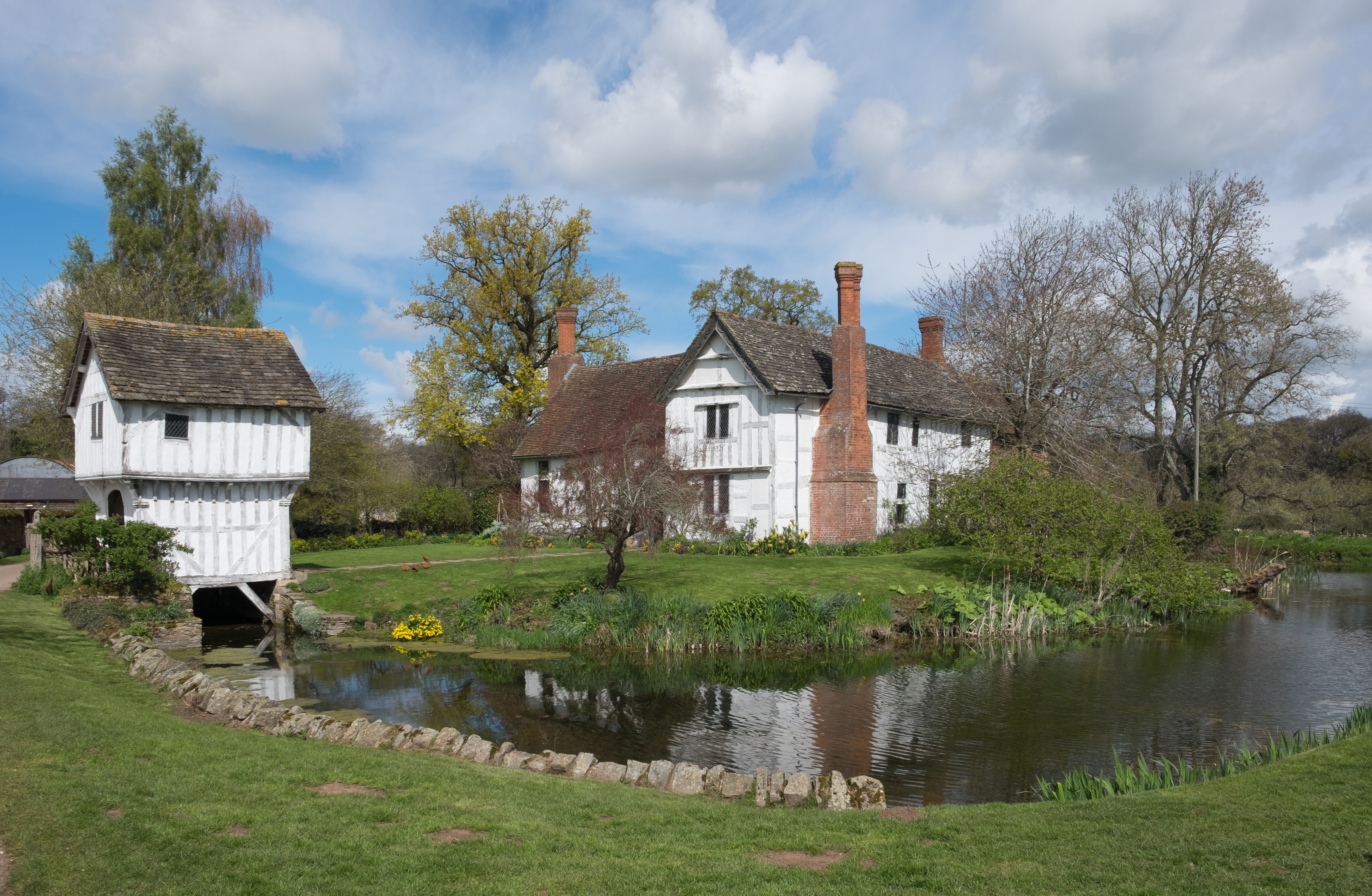
Brockhampton Estate

The Brockhampton Estate is a National Trust property in Herefordshire, England, and is to the north of the A44 Bromyard to Worcester road, opposite the...

Linton (near Bromyard)

Linton is a civil parish in north-east of Herefordshire, England, and is approximately 14 miles (23 km) north-east from the city and county town of Hereford...

Bringsty Common

Bringsty Common is a scattered settlement and 220 acres (89 ha) of common land in Herefordshire, England, spanning the A44. It lies close to the Worcestershire...

Bromyard Downs

Bromyard Downs is an area of registered common land, and a scattered settlement, just outside the town of Bromyard in Herefordshire, England. The 114 hectares...

Norton, Herefordshire

Norton is a civil parish in north-east Herefordshire, England, and is approximately 14 miles (23 km) north-east from the city and county town of Hereford...

Whitbourne Hall

Whitbourne Hall is a Grade II* listed Greek Revival country house located in the village of Whitbourne in Herefordshire (near the Worcestershire border...

Bromyard Town F.C.

Bromyard Town Football Club is a football club based in Bromyard, Herefordshire, England. They are currently members of the West Midlands (Regional) League...

Nearby Amenities

Located within 500m of 52.196557,-2.4601802
Brockhampton House
Power: pole
Transformer: distribution
Voltage Primary: 11000
Lat/Long: 52.1928889/-2.4618689
Power: pole
Lat/Long: 52.1930266/-2.4628888
Power: pole
Lat/Long: 52.1970375/-2.4666587
Power: pole
Lat/Long: 52.1972438/-2.4656434
Power: pole
Lat/Long: 52.1973868/-2.4649622
Power: pole
Lat/Long: 52.1976918/-2.4634802
Power: pole
Lat/Long: 52.1978948/-2.462465
Power: pole
Lat/Long: 52.198088/-2.4615343
Power: pole
Lat/Long: 52.1982467/-2.4607457
Power: pole
Lat/Long: 52.1985977/-2.4595414
Power: pole
Lat/Long: 52.1988977/-2.4585316
Power: pole
Lat/Long: 52.1991887/-2.4574868
Power: pole
Lat/Long: 52.1994509/-2.4565481
Power: pole
Lat/Long: 52.1998183/-2.4552646
The data included in this document is from www.openstreetmap.org. The data is made available under ODbL.

Have you been to Hyde Dingle?

Leave your review of Hyde Dingle below (or comments, questions and feedback).