Brockhampton Dingle
Valley in Herefordshire
England
Brockhampton Dingle

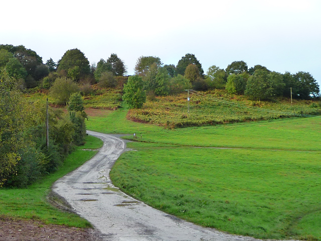
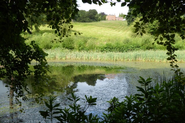
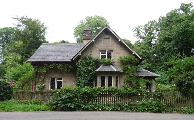
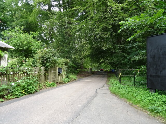
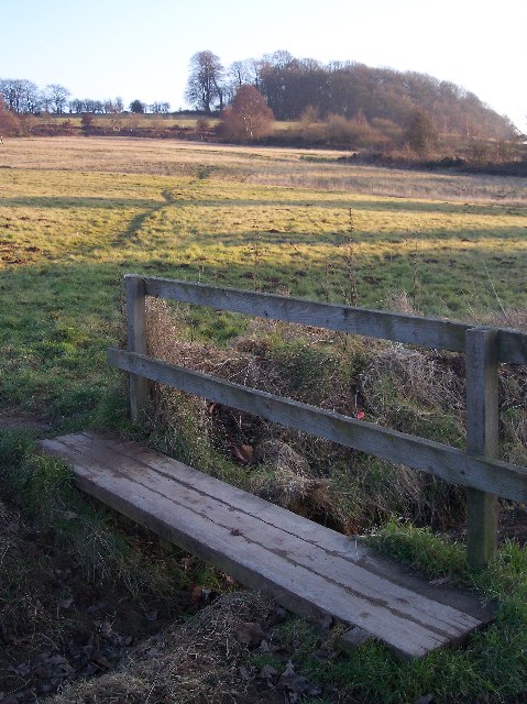
Brockhampton Dingle is a picturesque valley located in Herefordshire, a county in the West Midlands region of England. Situated near the village of Brockhampton, the Dingle is known for its stunning natural beauty and tranquil atmosphere.
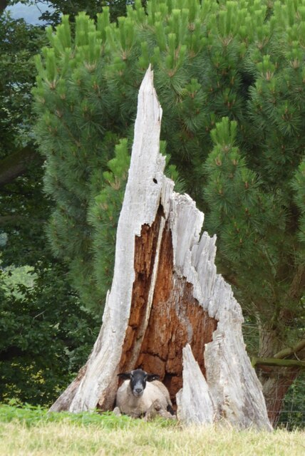
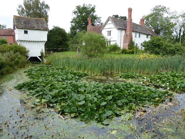
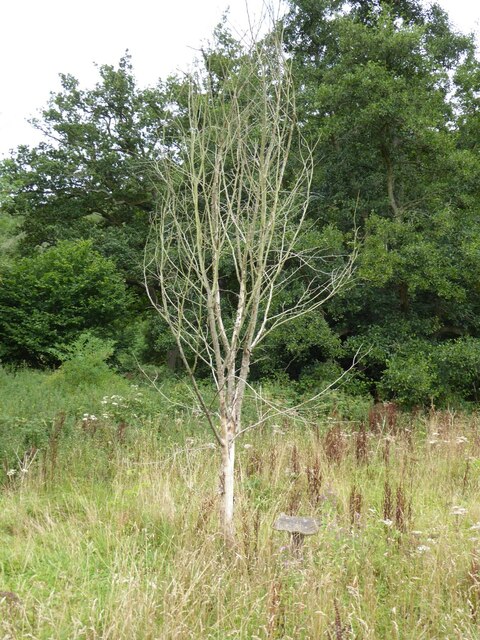
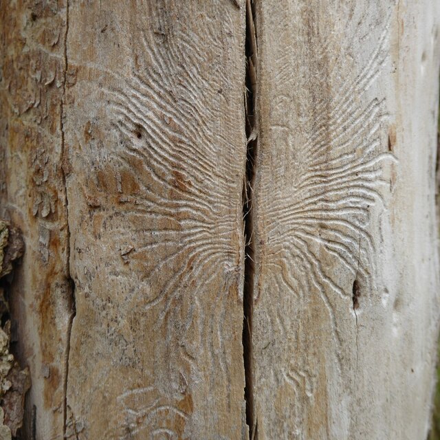
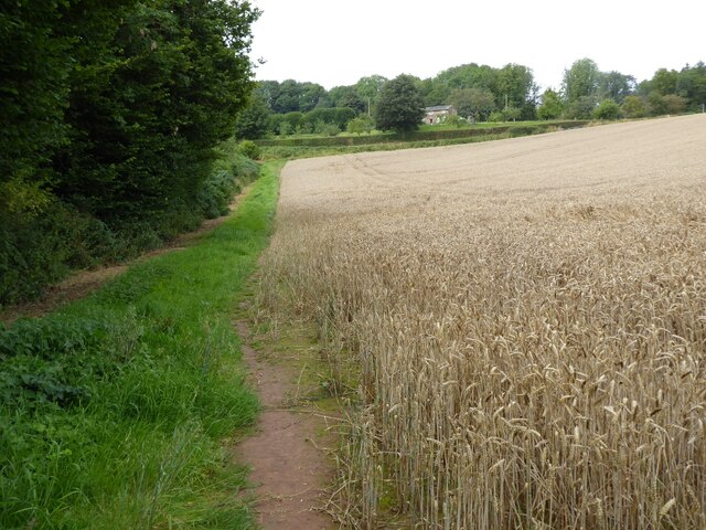
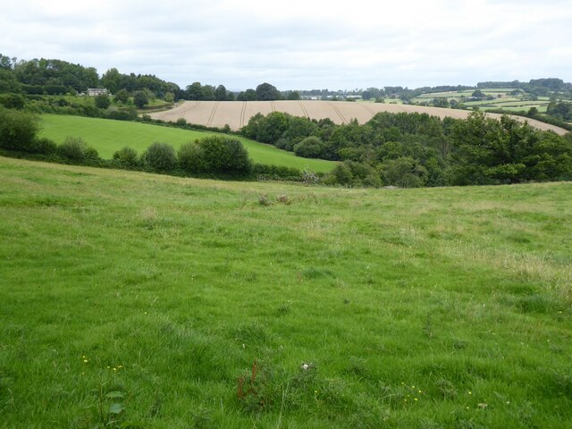
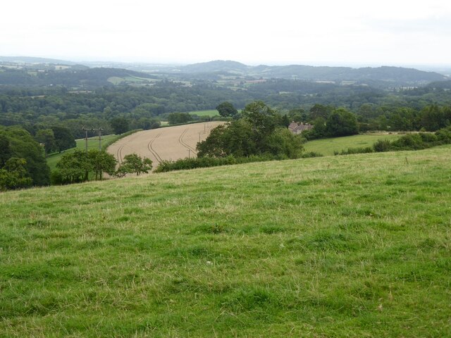
The valley is nestled between rolling hills and is characterized by its lush green meadows, dense woodlands, and a charming stream that meanders through the landscape. It offers a diverse range of flora and fauna, making it an ideal spot for nature enthusiasts and wildlife lovers.
Brockhampton Dingle is home to several walking trails, providing visitors with the opportunity to explore and appreciate the area's scenic beauty. The paths wind their way through the valley, offering breathtaking views of the surrounding countryside and the chance to spot various bird species, butterflies, and wildflowers.
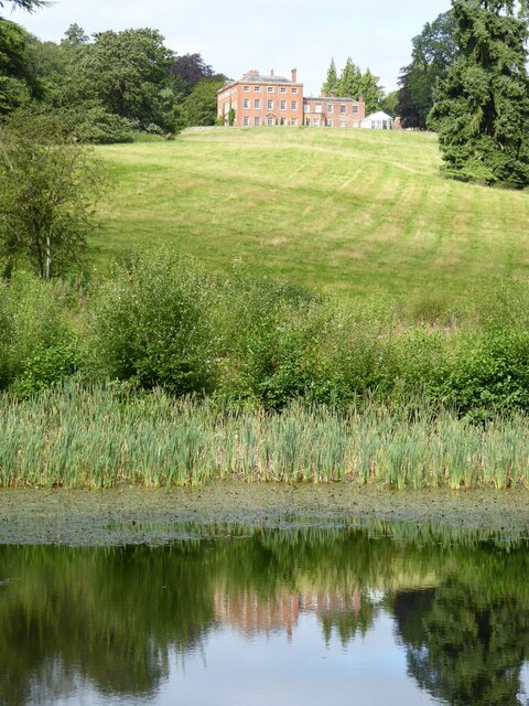
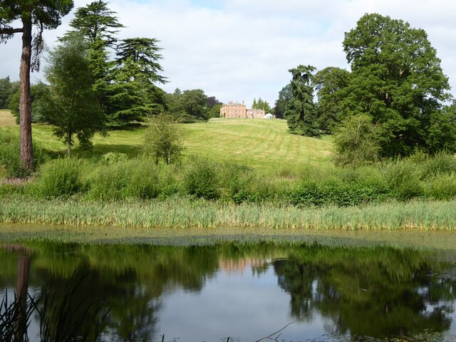
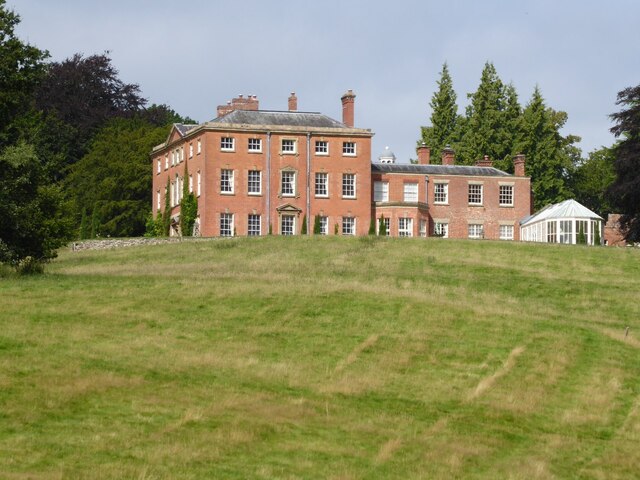
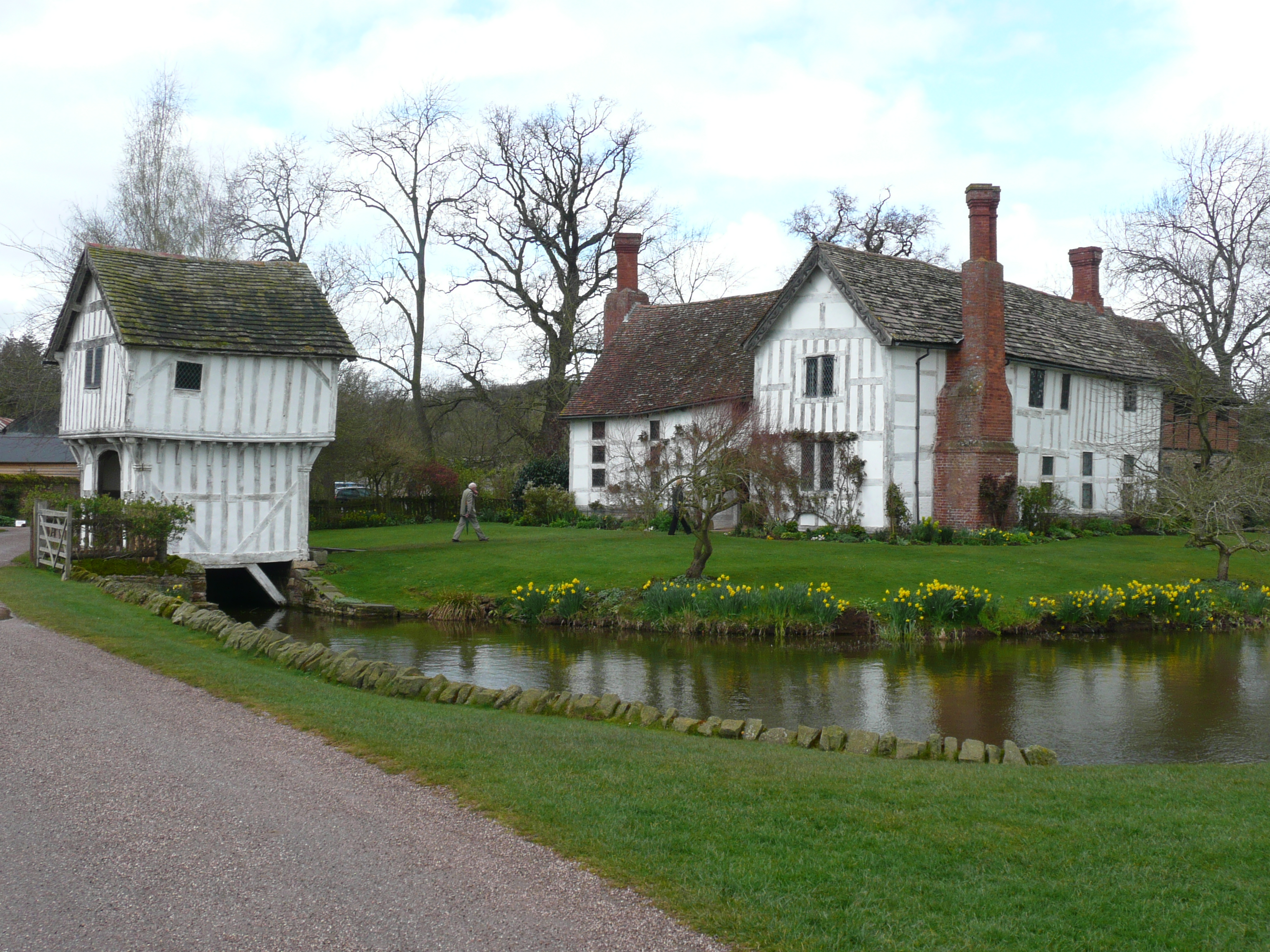
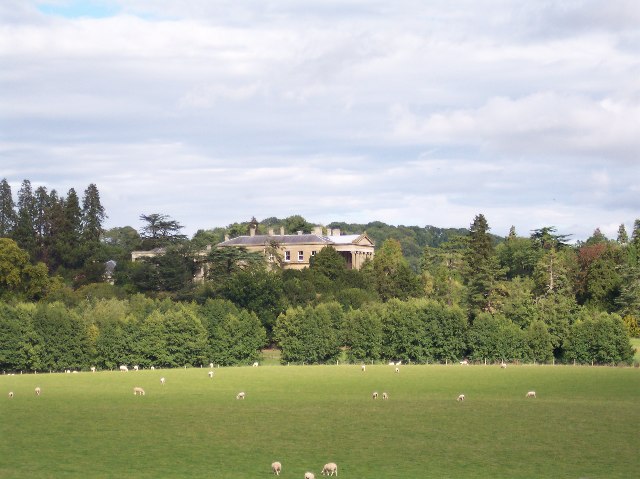
In addition to its natural attractions, the Dingle is also known for being the location of the National Trust property, Brockhampton Estate. This historic house and its surrounding farmland are open to the public and offer a glimpse into the area's rich heritage and cultural significance.
Visitors to Brockhampton Dingle can enjoy picnicking by the stream, capturing photographs of the stunning vistas, or simply immersing themselves in the peaceful ambiance of this idyllic valley. With its unspoiled beauty and tranquil atmosphere, Brockhampton Dingle is a hidden gem for those seeking solace in nature and a break from the hustle and bustle of everyday life.
If you have any feedback on the listing, please let us know in the comments section below.
Brockhampton Dingle Images
Images are sourced within 2km of 52.200597/-2.4614802 or Grid Reference SO6855. Thanks to Geograph Open Source API. All images are credited.


Brockhampton Dingle is located at Grid Ref: SO6855 (Lat: 52.200597, Lng: -2.4614802)
Unitary Authority: County of Herefordshire
Police Authority: West Mercia
What 3 Words
///promote.nation.decorated. Near Bromyard, Herefordshire
Related Wikis
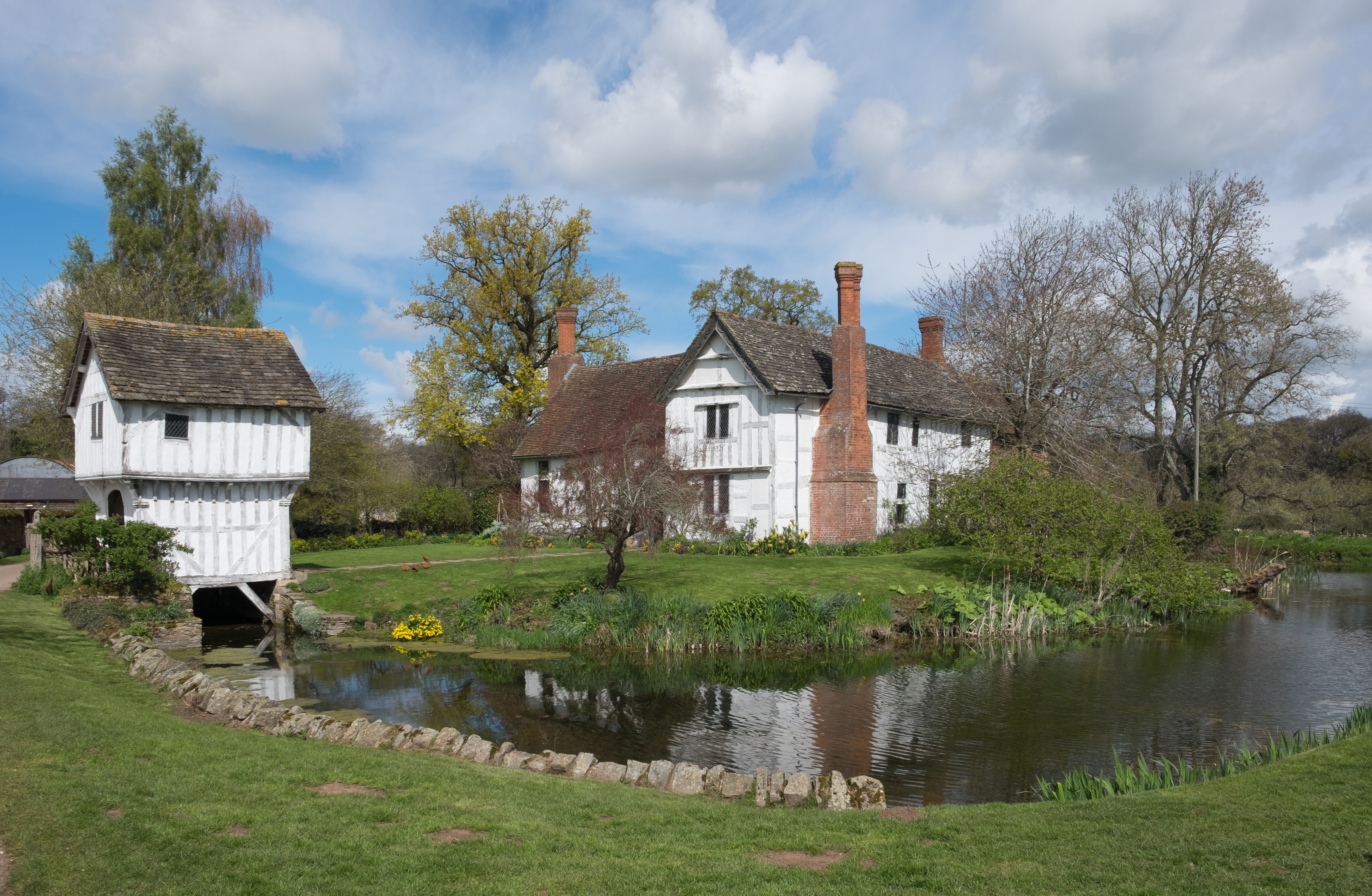
Brockhampton Estate
The Brockhampton Estate is a National Trust property in Herefordshire, England, and is to the north of the A44 Bromyard to Worcester road, opposite the...
Brockhampton (near Bromyard)
Brockhampton is a civil parish in Herefordshire, England, about 4 km (2 mi) east of Bromyard. The parish comprises the National Trust property of Brockhampton...

Bringsty Common
Bringsty Common is a scattered settlement and 220 acres (89 ha) of common land in Herefordshire, England, spanning the A44. It lies close to the Worcestershire...

Linton (near Bromyard)
Linton is a civil parish in north-east of Herefordshire, England, and is approximately 14 miles (23 km) north-east from the city and county town of Hereford...
Bromyard Downs
Bromyard Downs is an area of registered common land, and a scattered settlement, just outside the town of Bromyard in Herefordshire, England. The 114 hectares...
Whitbourne Hall
Whitbourne Hall is a Grade II* listed Greek Revival country house located in the village of Whitbourne in Herefordshire (near the Worcestershire border...

Norton, Herefordshire
Norton is a civil parish in north-east Herefordshire, England, and is approximately 14 miles (23 km) north-east from the city and county town of Hereford...
Bromyard Town F.C.
Bromyard Town Football Club is a football club based in Bromyard, Herefordshire, England. They are currently members of the West Midlands (Regional) League...
Nearby Amenities
Located within 500m of 52.200597,-2.4614802Have you been to Brockhampton Dingle?
Leave your review of Brockhampton Dingle below (or comments, questions and feedback).