Brockhampton (Old Gore Ward)
Civil Parish in Herefordshire
England
Brockhampton (Old Gore Ward)
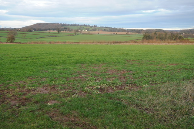
Brockhampton, also known as Old Gore Ward, is a civil parish located in Herefordshire, England. Situated in the eastern part of the county, it covers an area of approximately 8 square kilometers. The parish is surrounded by beautiful countryside, featuring rolling hills, lush green fields, and picturesque landscapes.
Brockhampton is a relatively small parish with a population of around 200 residents. It is a rural area, predominantly made up of agricultural land and scattered farmhouses. The community in Brockhampton is close-knit, with a strong sense of community spirit and neighborly support.
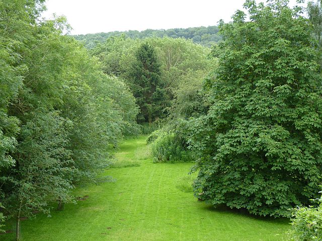
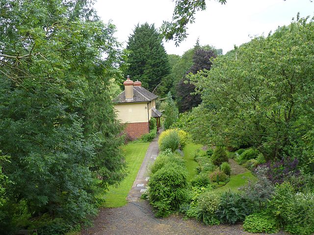
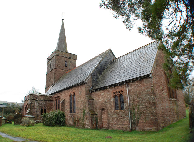
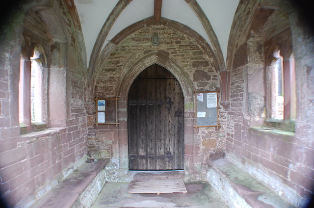
One of the notable landmarks in the area is Brockhampton Estate, which is managed by the National Trust. The estate comprises a stunning timber-framed manor house dating back to the 14th century, surrounded by tranquil gardens and orchards. Visitors can explore the house and its historical features, as well as enjoy walks through the surrounding woodland and meadows.
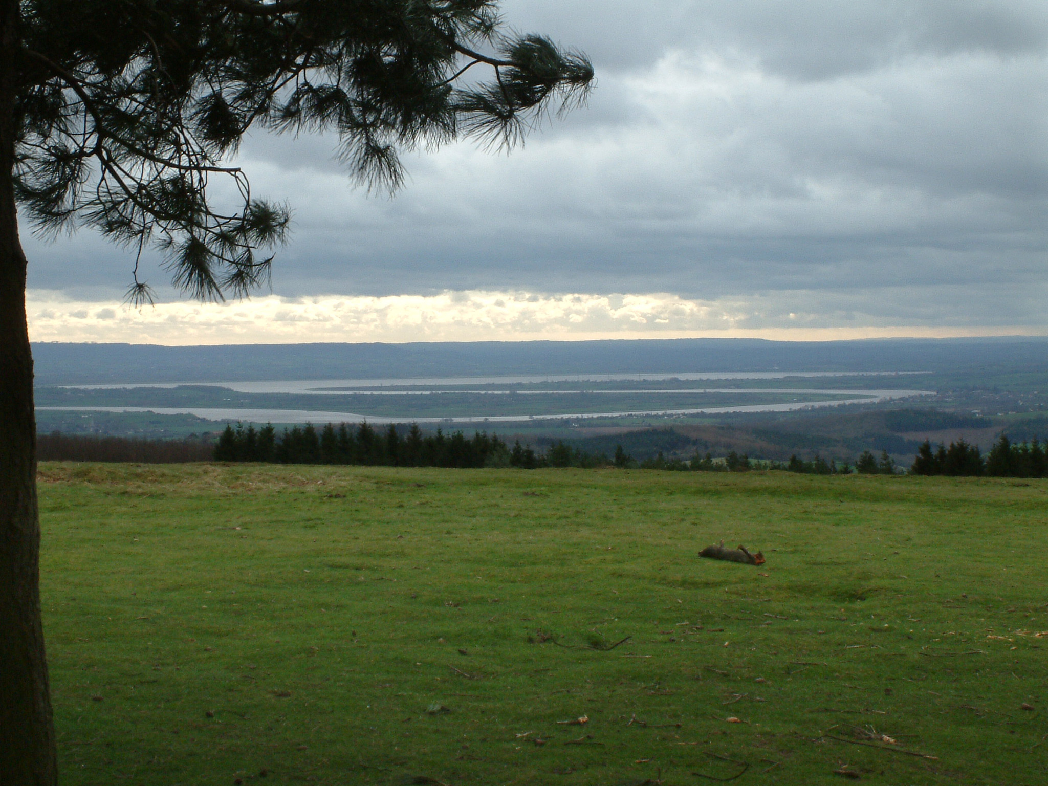
The parish also benefits from its proximity to the Malvern Hills, an Area of Outstanding Natural Beauty. This offers residents and visitors alike the opportunity to enjoy scenic walks, hikes, and outdoor activities in a stunning natural setting.
In terms of amenities, Brockhampton has limited facilities, with no shops or schools within the parish boundaries. However, nearby towns and villages provide access to essential services, including shops, schools, and healthcare facilities.
Overall, Brockhampton is a peaceful and idyllic rural parish, offering residents and visitors a tranquil escape from the hustle and bustle of urban life.
If you have any feedback on the listing, please let us know in the comments section below.
Brockhampton (Old Gore Ward) Images
Images are sourced within 2km of 51.968978/-2.613069 or Grid Reference SO5730. Thanks to Geograph Open Source API. All images are credited.


Brockhampton (Old Gore Ward) is located at Grid Ref: SO5730 (Lat: 51.968978, Lng: -2.613069)
Unitary Authority: County of Herefordshire
Police Authority: West Mercia
What 3 Words
///forehand.types.thigh. Near Brockhampton, Herefordshire
Nearby Locations
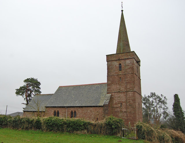
Related Wikis
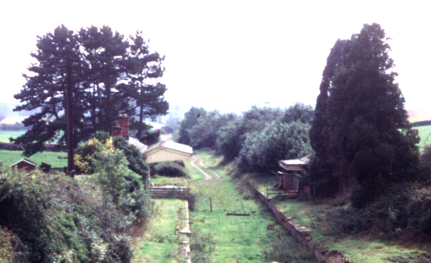
Fawley railway station (Hereford, Ross and Gloucester Railway)
Fawley railway station is a disused stone built railway station that served the village of King's Caple in Herefordshire on Hereford, Ross and Gloucester...

Ballingham Railway Bridge
Ballingham Railway Bridge (also known as Fawley Viaduct) was a railway bridge over the River Wye, built by the Hereford, Ross and Gloucester Railway. It...

Pen-allt
Pen-allt is a village within the parish of King's Caple in Herefordshire, England. == External links == Map sources for Pen-allt
South Herefordshire and Over Severn
South Herefordshire and Over Severn is a National Character Area that extends from the south, where it is bounded by the Forest of Dean, northwards to...
Nearby Amenities
Located within 500m of 51.968978,-2.613069Have you been to Brockhampton (Old Gore Ward)?
Leave your review of Brockhampton (Old Gore Ward) below (or comments, questions and feedback).