Emneth
Civil Parish in Norfolk King's Lynn and West Norfolk
England
Emneth
Emneth is a civil parish located in the county of Norfolk, in the eastern part of England. It is situated approximately 5 miles west of Wisbech and 17 miles east of King's Lynn. The parish covers an area of around 11 square miles and is home to a population of about 2,500 residents.
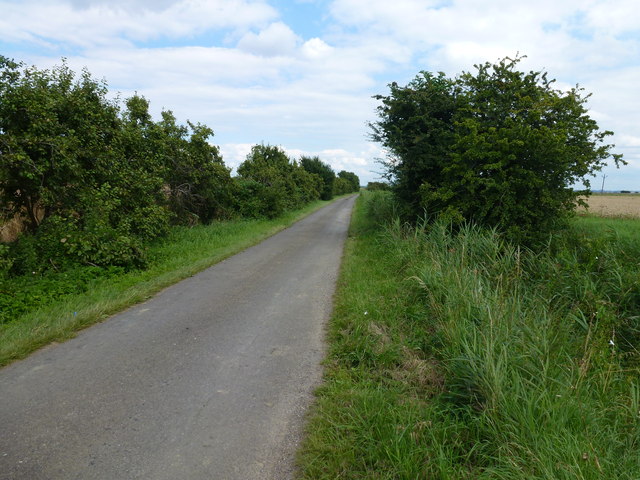
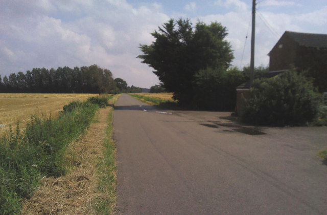
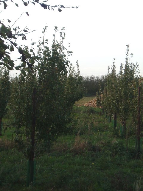
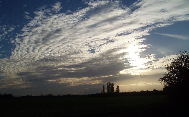
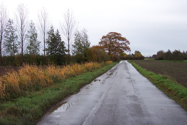
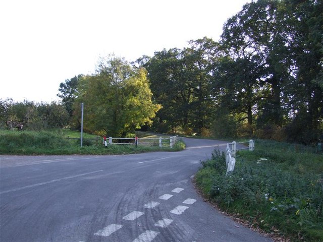
The village of Emneth is the main settlement within the parish, and it is surrounded by picturesque countryside, providing a tranquil and peaceful atmosphere. The village features a mix of traditional and modern architecture, displaying a blend of historical charm and contemporary design.
Emneth has a range of amenities and facilities to cater to the needs of its residents. This includes a primary school, a village hall, a post office, a convenience store, and a pub. The local community is tight-knit and supportive, with various social and recreational activities organized throughout the year.
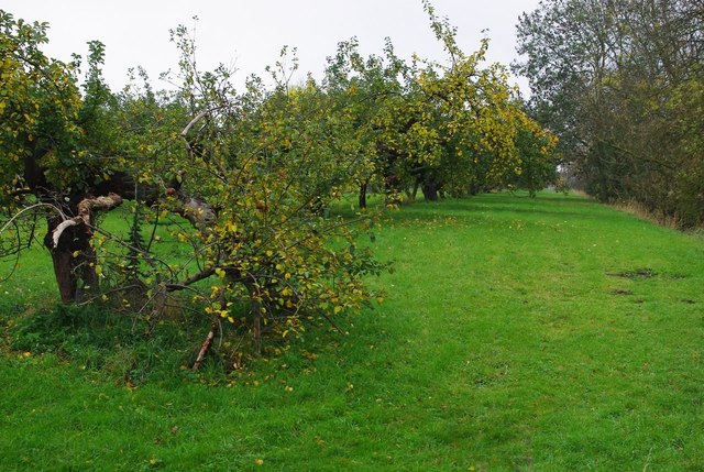
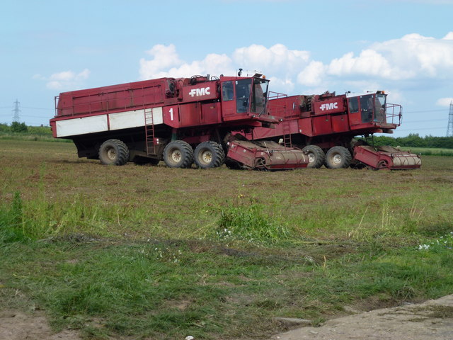
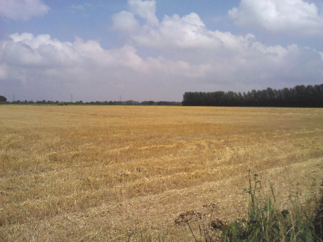
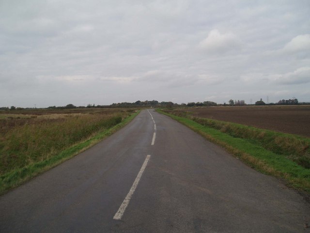
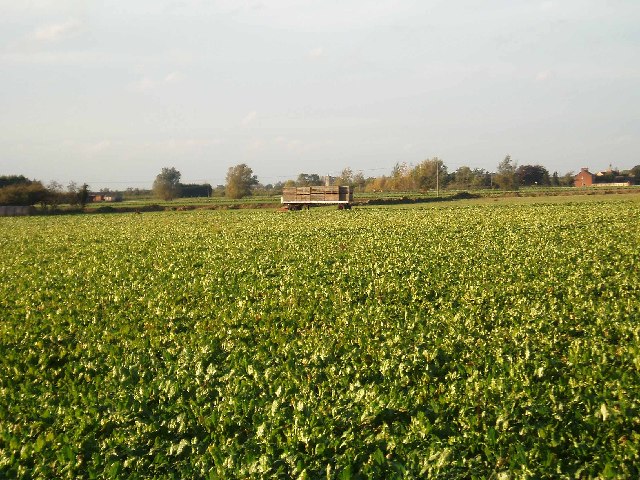
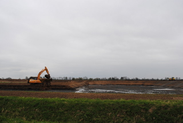
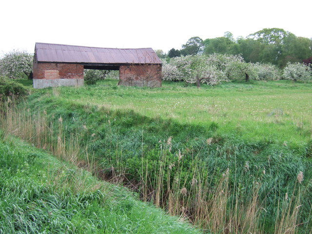
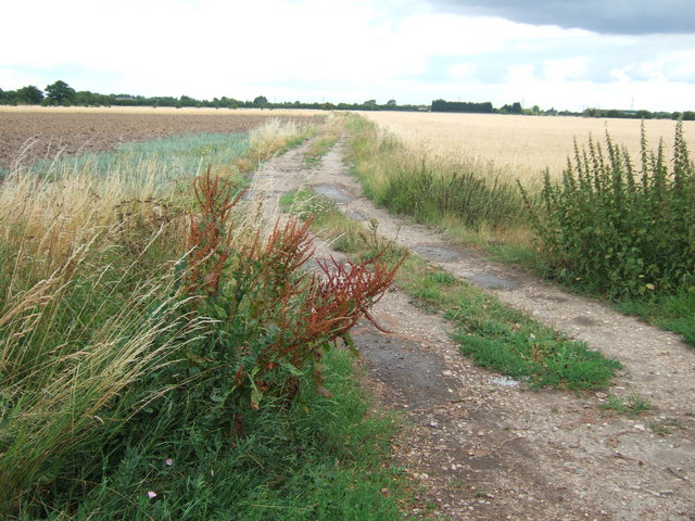
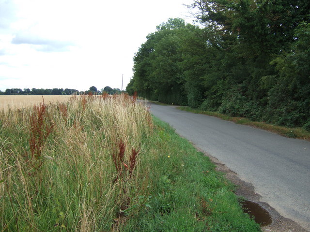
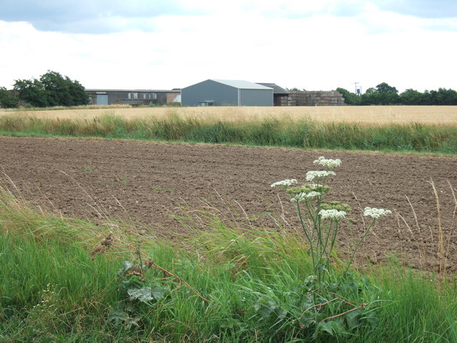
The parish is known for its rich agricultural heritage, with farming being a significant part of its economy. The fertile soil and favorable climate contribute to the success of crop cultivation, particularly arable farming. The surrounding fields are often filled with golden crops, adding to the picturesque beauty of the area.
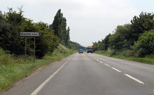
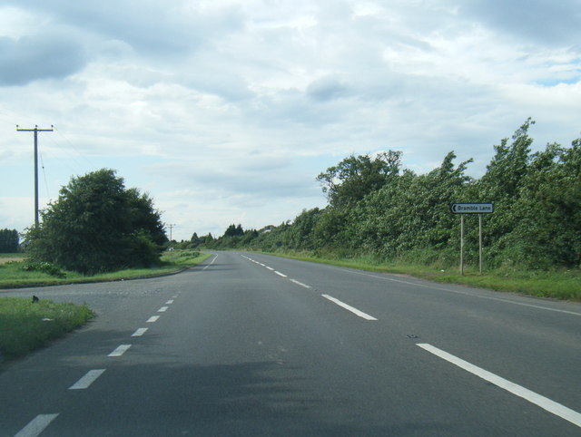
Emneth is well-connected to neighboring towns and cities, with good transport links including road and rail networks. The A47 road passes through the parish, providing easy access to nearby urban centers.
Overall, Emneth is a charming rural parish with a close-knit community, offering a peaceful and idyllic lifestyle amidst the beauty of the Norfolk countryside.
If you have any feedback on the listing, please let us know in the comments section below.
Emneth Images
Images are sourced within 2km of 52.640042/0.212678 or Grid Reference TF4907. Thanks to Geograph Open Source API. All images are credited.
Emneth is located at Grid Ref: TF4907 (Lat: 52.640042, Lng: 0.212678)
Administrative County: Norfolk
District: King's Lynn and West Norfolk
Police Authority: Norfolk
What 3 Words
///replenish.lost.school. Near Emneth, Norfolk
Nearby Locations
Related Wikis

Emneth
Emneth is a village and civil parish in the English county of Norfolk. The village is located 2.9 miles (4.7 km) south-east of Wisbech, 12 miles (19 km...

Boyces Bridge railway station
Boyces Bridge railway station was a station in Norfolk on the Wisbech and Upwell Tramway commonly known as the Upwell Tramway. It was located north of...
Collett's Bridge
Collett's Bridge is a hamlet within the parish of Elm in the Isle of Ely, Cambridgeshire, England. It is situated on the eastern boundary of the district...
Emneth Hungate
Emneth Hungate is a small settlement near the village of Emneth in Norfolk, England, near the border with Cambridgeshire. It once had its own Emneth railway...

Elmbridge railway station
Elmbridge railway station was a stop on the Wisbech and Upwell Tramway. It was in a projection of the parish of Emneth, Norfolk but was immediately south...
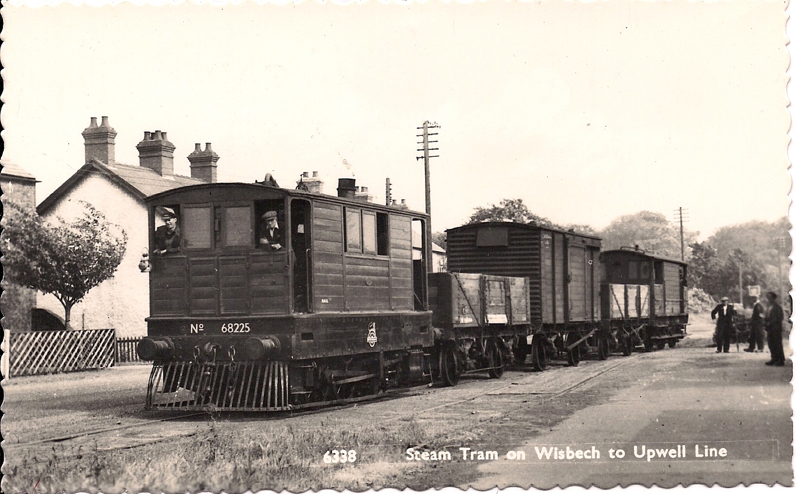
Wisbech and Upwell Tramway
The Wisbech and Upwell Tramway was a rural standard gauge tramway in East Anglia. It was built by the Great Eastern Railway between Wisbech, Isle of Ely...

Emneth railway station
Emneth was a railway station, near Wisbech, which served the village of Emneth, Norfolk. The station was opened in 1848 as an extension of the East Anglian...

Marshland Rural District
Marshland Rural District was a rural district in Norfolk, England from 1894 to 1974.It was formed under the Local Government Act 1894 based on the Marshland...
Related Videos
For Sale - ABODA Fine Homes - a GORGEOUS Bungalow with a stunning kitchen/diner & mature gardens
YOU WILL LOVE!!! The peace and tranquillity within this light-filled spacious semi-rural village home with the convenience of all ...
Nearby Amenities
Located within 500m of 52.640042,0.212678Have you been to Emneth?
Leave your review of Emneth below (or comments, questions and feedback).