Empingham
Civil Parish in Rutland
England
Empingham

Empingham is a civil parish located in the county of Rutland in the East Midlands region of England. It is situated about 6 miles southwest of the county town of Oakham and has a population of around 1,000 people.
The village is known for its picturesque setting, surrounded by rolling countryside and located near the southern shore of Rutland Water, one of the largest man-made lakes in Europe. This makes Empingham a popular destination for outdoor enthusiasts, with opportunities for sailing, fishing, birdwatching, and walking in the nearby nature reserves.
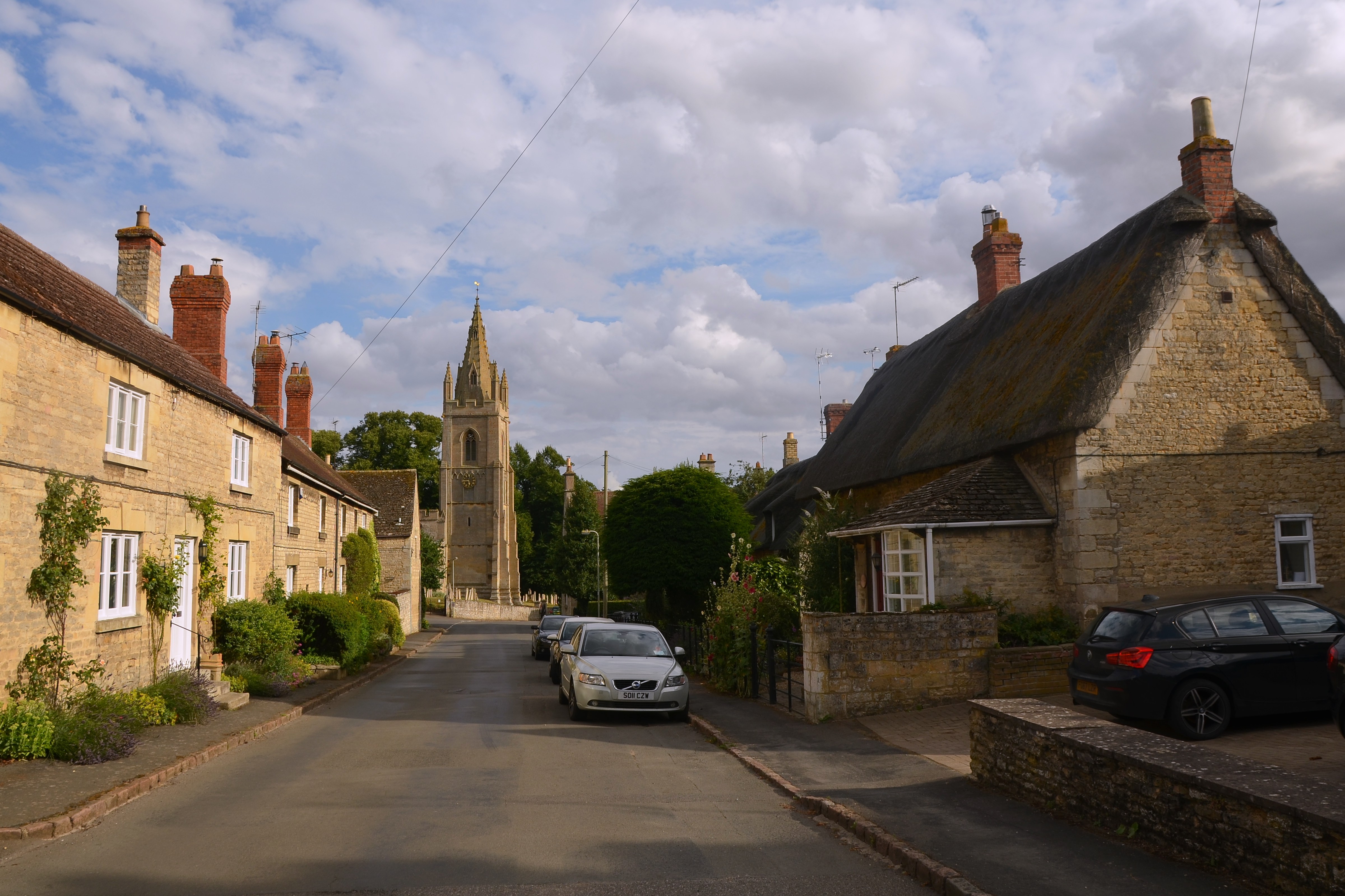
Empingham has a rich history dating back to the Anglo-Saxon period, with evidence of settlements in the area. The village itself features a mix of architectural styles, including traditional stone cottages and more modern buildings.
The village amenities include a primary school, a village hall, a post office, a convenience store, and a pub. Empingham is also home to St. Peter's Church, a Grade I listed building dating back to the 12th century, which is an important local landmark.
The community in Empingham is active and vibrant, with various events and activities taking place throughout the year, including the Empingham Cricket Club's matches, the Empingham Village Show, and the Empingham Bonfire and Fireworks Night.
Overall, Empingham is a charming village that offers a tranquil setting, a sense of community, and easy access to the beautiful Rutland Water, making it an appealing place to live or visit.
If you have any feedback on the listing, please let us know in the comments section below.
Empingham Images
Images are sourced within 2km of 52.670811/-0.589392 or Grid Reference SK9509. Thanks to Geograph Open Source API. All images are credited.


Empingham is located at Grid Ref: SK9509 (Lat: 52.670811, Lng: -0.589392)
Unitary Authority: Rutland
Police Authority: Leicestershire
What 3 Words
///inflame.organist.overlook. Near Empingham, Rutland
Nearby Locations
Related Wikis
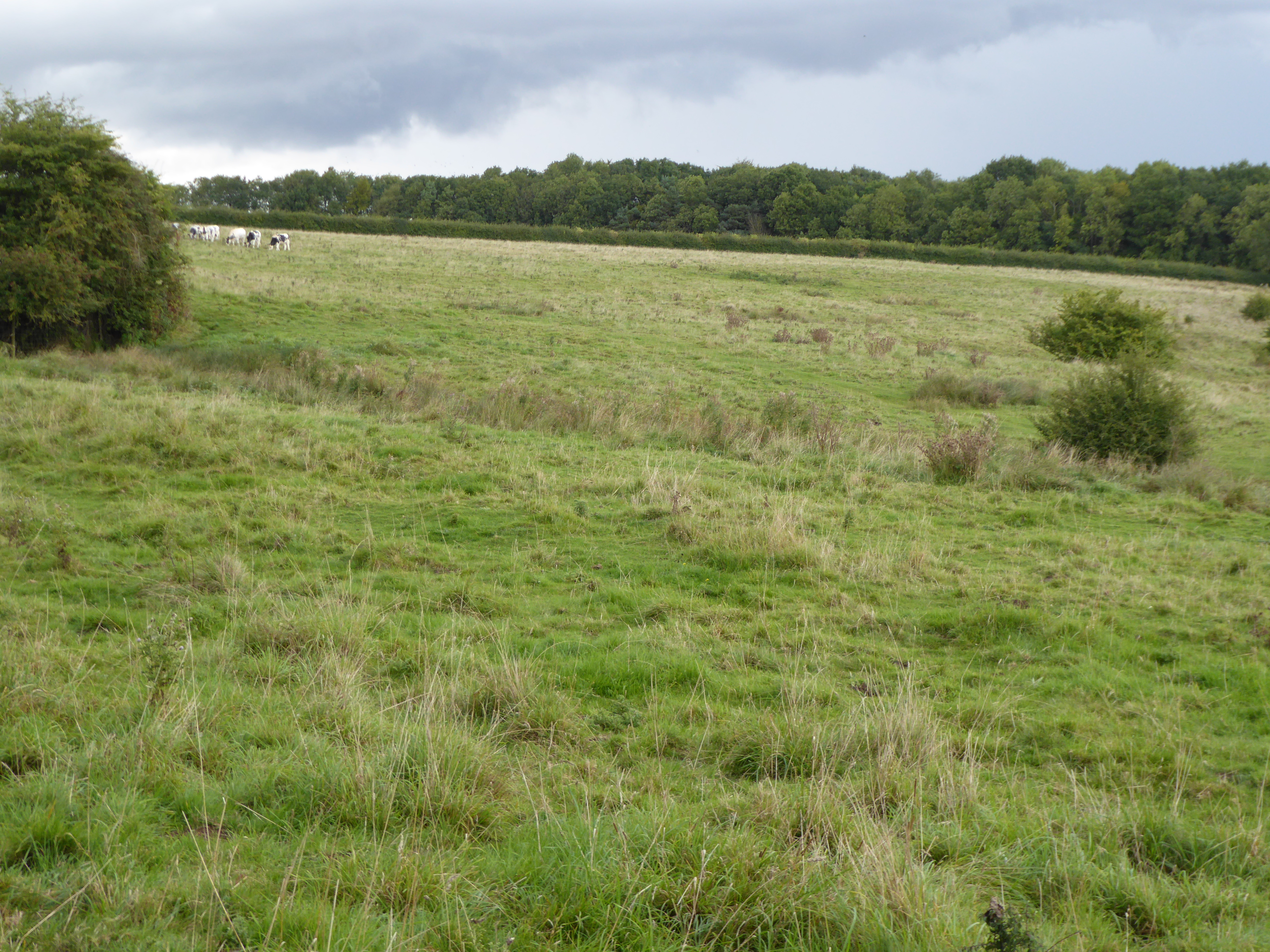
Empingham Marshy Meadows
Empingham Marshy Meadows is a 14 hectare biological Site of Special Scientific Interest north of Empingham in Rutland.This site in the valley of the North...
Empingham
Empingham is a village in the county of Rutland in the East Midlands of England. The population of the civil parish was 815 at the 2001 census including...
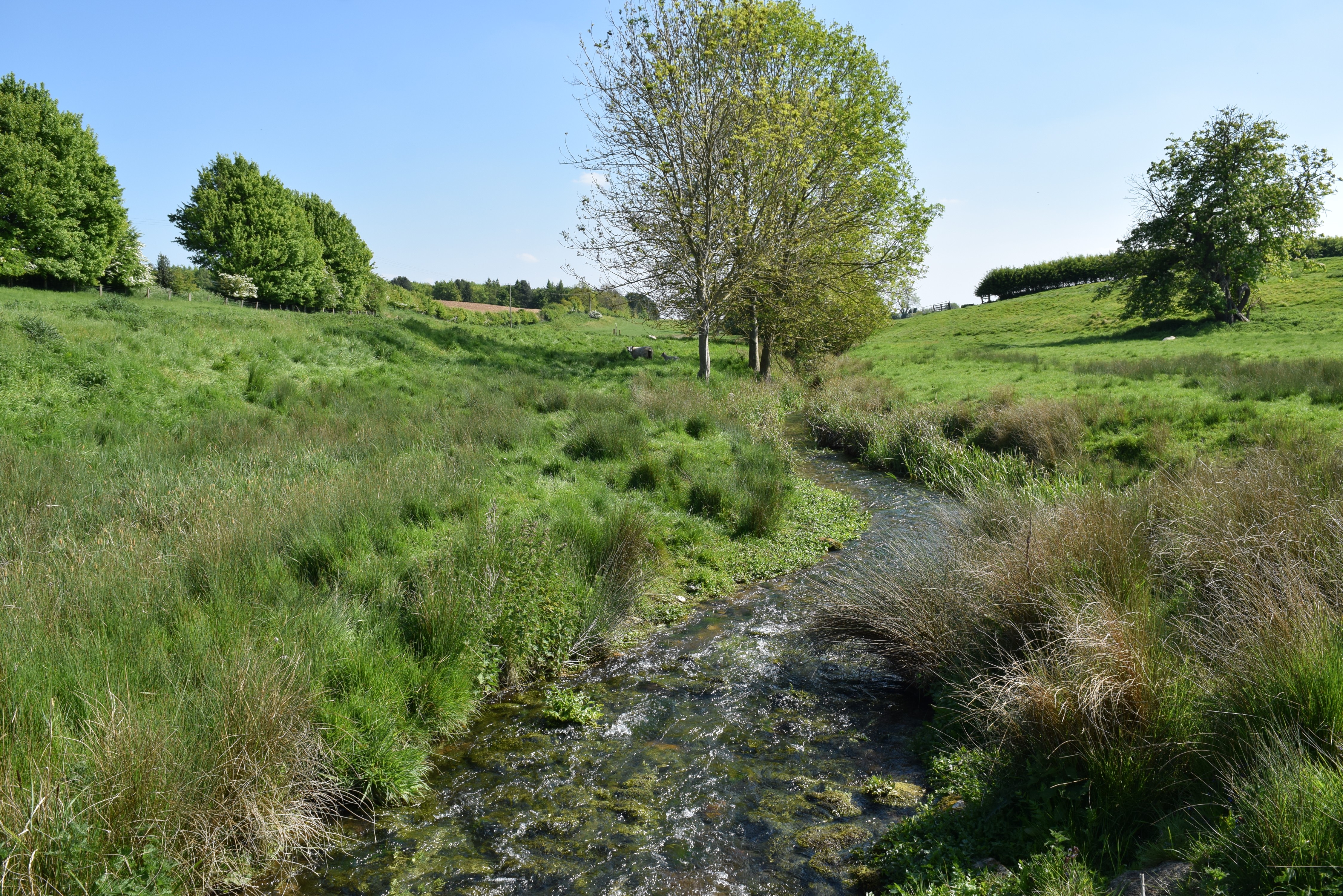
North Brook, Rutland
The North Brook is a small watercourse in Rutland in the East Midlands of England. It is a tributary of the River Gwash and part of the River Welland catchment...

St Peter's Church, Empingham
St Peter's Church is a church in Empingham, Rutland. It is a Grade I listed building. == History == The church was mostly built in the 13th century but...
Related Videos

【4K】EMPINGHAM VILLAGE 4K WALKING TOUR
Come with me as I venture around Empingham village in Rutland, encountering a beautiful village with one prime village idiot ...

Sebi’s travels#havefun#in#the#summertime#sebisuniverse#travel #uk#rutland #beach #shortbreak #shorts
Sebi's travels,#in#the#summertime#sebisuniverse #travel #uk #shortbreak #shorts#inthesummertime#havefun #splash #rutland ...

Empingham Village Walk, English Countryside 4K
https://www.buymeacoffee.com/Daveswalks All support is hugely appreciated and it helps me keep the channel going! No talking ...

A Day Trip to RUTLAND WATER | Ep265
Whilst staying at New Lodge Farm Caravan Park, Bulwick, Northamptonshire, we went out for the day to the Rutland Water Visitors ...
Nearby Amenities
Located within 500m of 52.670811,-0.589392Have you been to Empingham?
Leave your review of Empingham below (or comments, questions and feedback).