Emersons Green
Civil Parish in Gloucestershire
England
Emersons Green

Emersons Green is a civil parish located in the county of Gloucestershire, England. It is situated approximately 9 miles northeast of the city of Bristol, making it a popular residential area for commuters.
The parish covers an area of around 4 square miles and is home to a population of approximately 10,000 people. The area has experienced significant growth in recent years, with new housing developments and amenities being constructed to accommodate the increasing population.
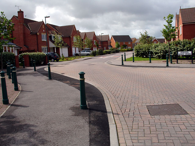
Emersons Green is known for its modern and well-planned housing estates, which offer a range of housing options, from detached family homes to apartments. The area also boasts a variety of amenities, including a retail park with a supermarket, shops, and restaurants, providing residents with convenient access to everyday necessities.
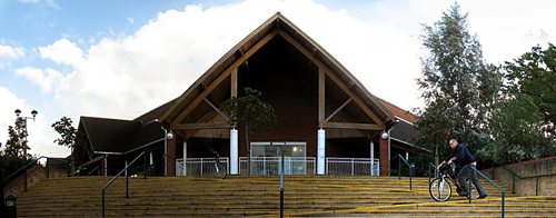
In terms of education, Emersons Green is well-served by several primary schools and a secondary school, ensuring that families have access to quality education for their children. The area also benefits from a range of recreational facilities, such as parks, sports fields, and a leisure center, providing residents with opportunities for outdoor activities and exercise.
Transport links in Emersons Green are excellent, with easy access to major road networks, including the M4 and M32 motorways, making it an ideal location for commuters. The area is also served by regular bus services, connecting residents to nearby towns and cities.
Overall, Emersons Green offers a pleasant and convenient place to live, with its modern housing, amenities, and excellent transport links, making it an attractive choice for both families and professionals seeking a suburban lifestyle within easy reach of Bristol.
If you have any feedback on the listing, please let us know in the comments section below.
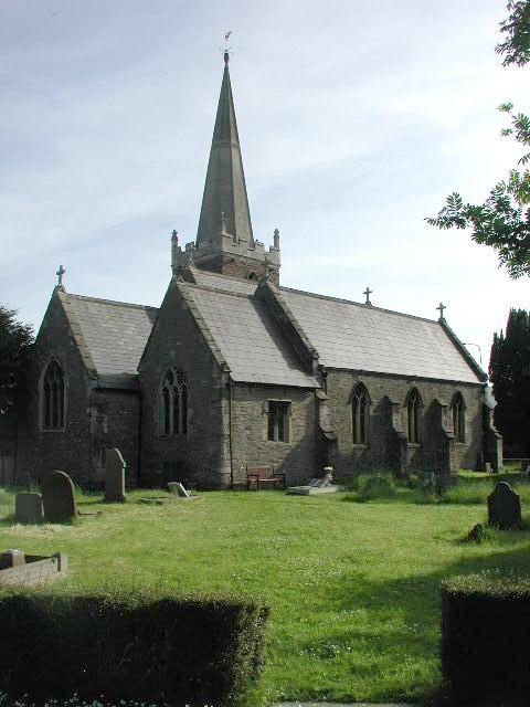
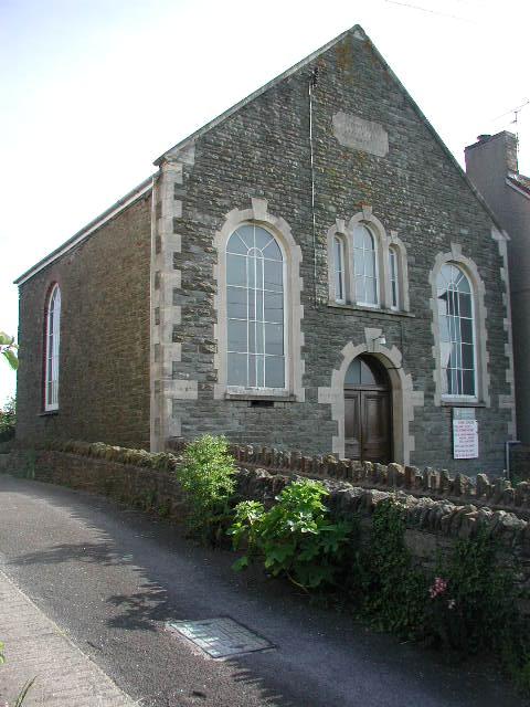
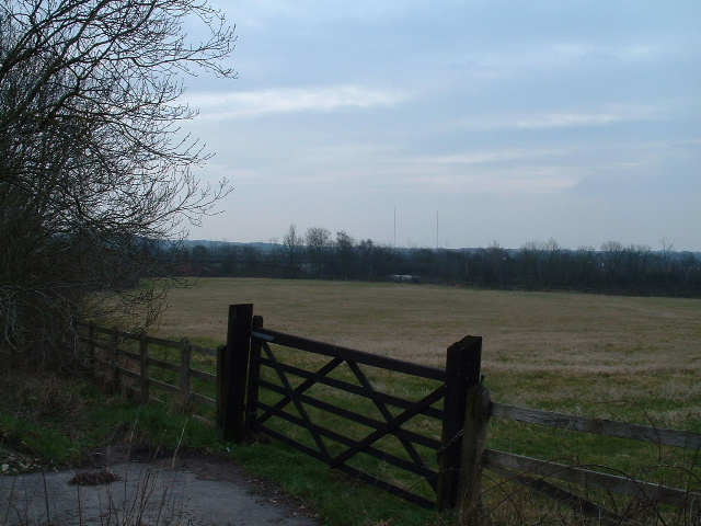
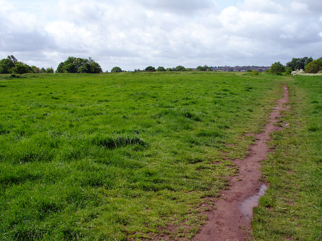
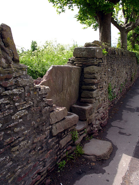
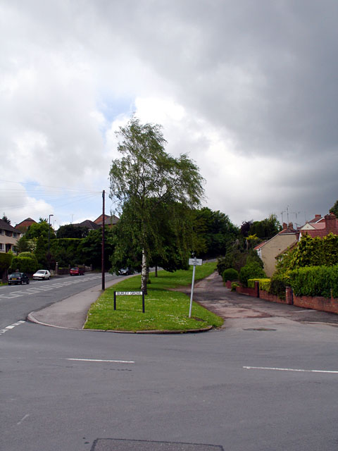
Emersons Green Images
Images are sourced within 2km of 51.491638/-2.480971 or Grid Reference ST6677. Thanks to Geograph Open Source API. All images are credited.


![Can you spot the speed camera? Footbridge over both the Bristol northern ring road [A4174] and the M4](https://s0.geograph.org.uk/photos/14/06/140636_442db55d.jpg)


Emersons Green is located at Grid Ref: ST6677 (Lat: 51.491638, Lng: -2.480971)
Unitary Authority: South Gloucestershire
Police Authority: Avon and Somerset
What 3 Words
///bossy.leads.gear. Near Mangotsfield, Gloucestershire
Nearby Locations
Related Wikis

Downend School
Downend School is a coeducational secondary school and sixth form with academy status, situated on Westerleigh Road in the suburban village of Downend...
Mangotsfield United F.C.
Mangotsfield United Football Club is a football club based in Mangotsfield, Bristol, England. They are currently members of the Hellenic League Premier...
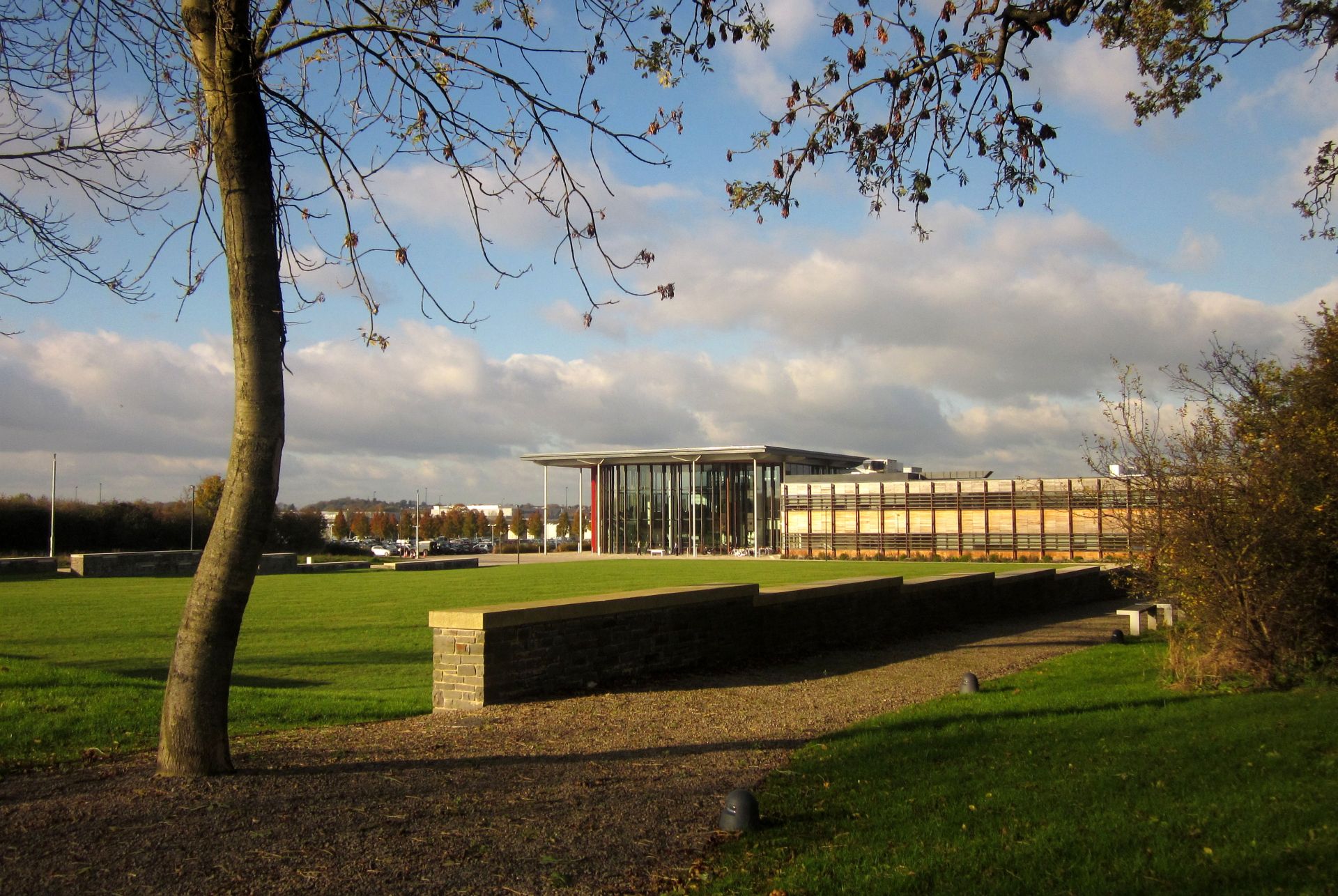
Bristol and Bath Science Park
Bristol and Bath Science Park (BBSP) is a science park in Emersons Green, South Gloucestershire, England, north-east of Bristol and north-west of Bath...
Mangotsfield School
Mangotsfield School is a secondary school located in Mangotsfield in South Gloucestershire, north of the Kingswood suburb of Bristol. == History == The...

Mangotsfield
Mangotsfield is a village and former civil parish in the unitary authority area of South Gloucestershire, in the ceremonial county of Gloucestershire,...

Page Park, Staple Hill
Page Park is a park in the Staple Hill area of South Gloucestershire.In 1910, the park was donated to the people of Staple Hill by Arthur William Page...

Downend, South Gloucestershire
Downend is an affluent residential outer suburb of Bristol, England, the housing stock is typically terraced Victorian, 1930s and 1950s semi-detached and...
Emersons Green
Emersons Green is a suburb of Bristol and parish in the unitary authority of South Gloucestershire. Sitting 7 miles northeast of Bristol, England. It was...
Nearby Amenities
Located within 500m of 51.491638,-2.480971Have you been to Emersons Green?
Leave your review of Emersons Green below (or comments, questions and feedback).