Blackhorse
Settlement in Gloucestershire
England
Blackhorse

Blackhorse is a small village located in the county of Gloucestershire, England. Situated about 5 miles east of the town of Stroud, Blackhorse is nestled within the picturesque Cotswolds region, known for its stunning natural beauty and charming rural landscapes. The village falls under the administrative district of Stroud and has a population of around 500 residents.
Blackhorse, as its name suggests, has a rich historical connection to the coal mining industry. In the past, the village was home to several collieries, which played a vital role in fueling the local economy. Today, remnants of this industrial heritage can still be seen in the form of old mine shafts and disused railway lines that once transported coal.
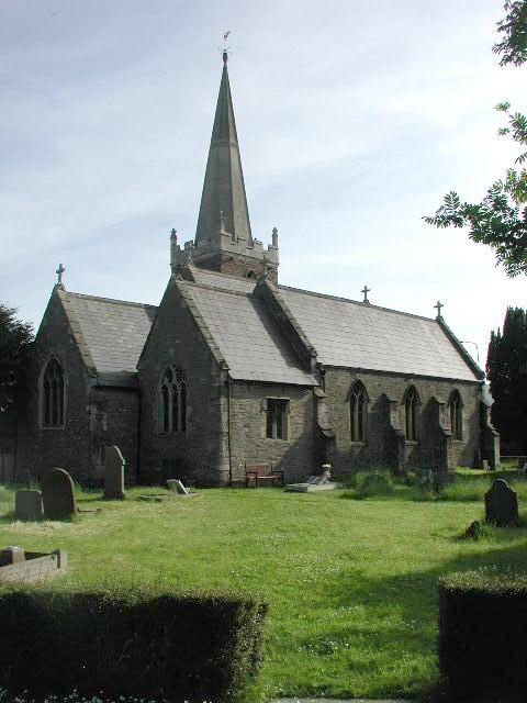
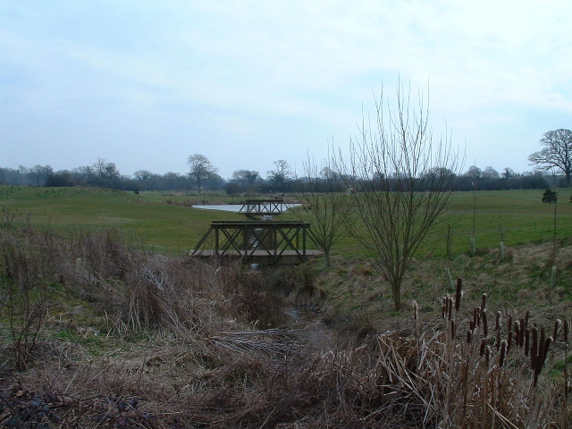
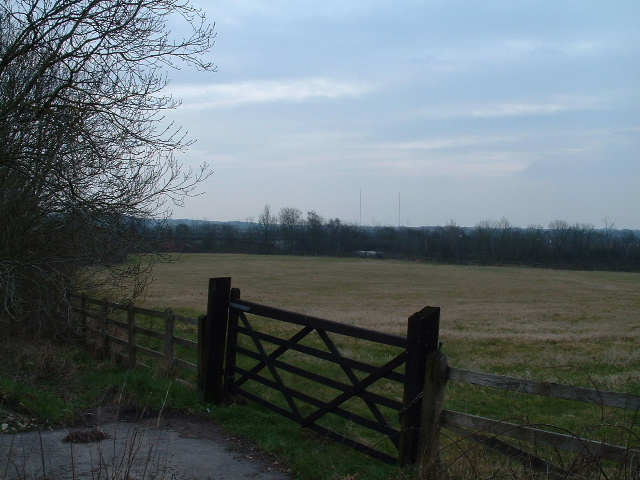
Despite its small size, Blackhorse offers a sense of community and a range of amenities for its residents. The village boasts a primary school, a church, and a pub, providing essential services and social hubs for locals. The surrounding countryside is a haven for nature enthusiasts, with numerous walking trails and scenic spots to explore.
Transport links to Blackhorse are convenient, with regular bus services connecting the village to nearby towns and villages. The closest railway station is in Stroud, offering connections to larger cities like Gloucester and Cheltenham.
Overall, Blackhorse is a tranquil and idyllic village, offering a peaceful retreat from the hustle and bustle of urban life, while still providing essential amenities and a close-knit community for its residents.
If you have any feedback on the listing, please let us know in the comments section below.
Blackhorse Images
Images are sourced within 2km of 51.49762/-2.489043 or Grid Reference ST6677. Thanks to Geograph Open Source API. All images are credited.


![Can you spot the speed camera? Footbridge over both the Bristol northern ring road [A4174] and the M4](https://s0.geograph.org.uk/photos/14/06/140636_442db55d.jpg)


Blackhorse is located at Grid Ref: ST6677 (Lat: 51.49762, Lng: -2.489043)
Unitary Authority: South Gloucestershire
Police Authority: Avon and Somerset
What 3 Words
///hope.wipes.fuzzy. Near Mangotsfield, Gloucestershire
Nearby Locations
Related Wikis

Downend School
Downend School is a coeducational secondary school and sixth form with academy status, situated on Westerleigh Road in the suburban village of Downend...
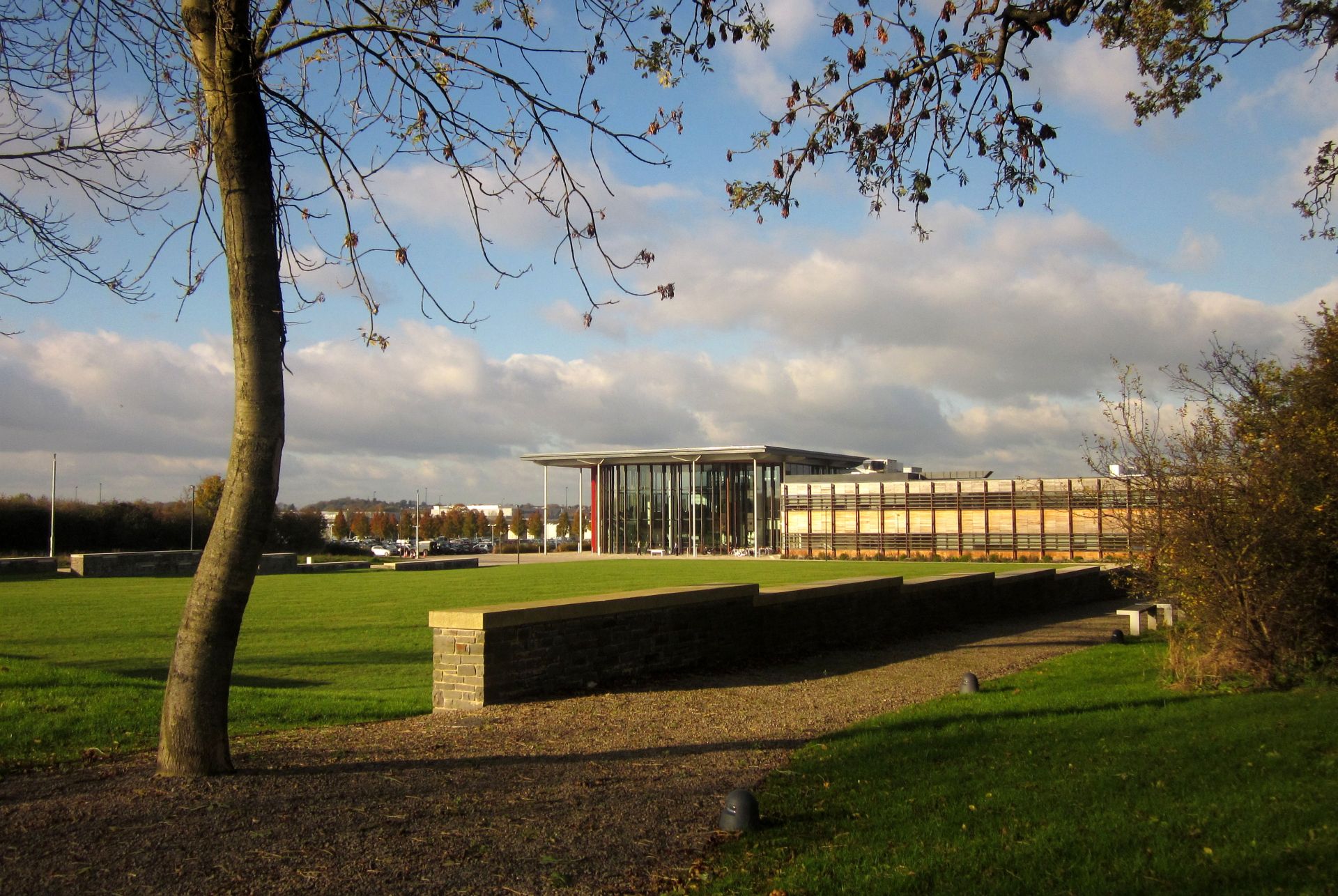
Bristol and Bath Science Park
Bristol and Bath Science Park (BBSP) is a science park in Emersons Green, South Gloucestershire, England, north-east of Bristol and north-west of Bath...

Downend, South Gloucestershire
Downend is an affluent residential outer suburb of Bristol, England, the housing stock is typically terraced Victorian, 1930s and 1950s semi-detached and...
Emersons Green
Emersons Green is a suburb of Bristol and parish in the unitary authority of South Gloucestershire. Sitting 7 miles northeast of Bristol, England. It was...
Mangotsfield United F.C.
Mangotsfield United Football Club is a football club based in Mangotsfield, Bristol, England. They are currently members of the Hellenic League Premier...
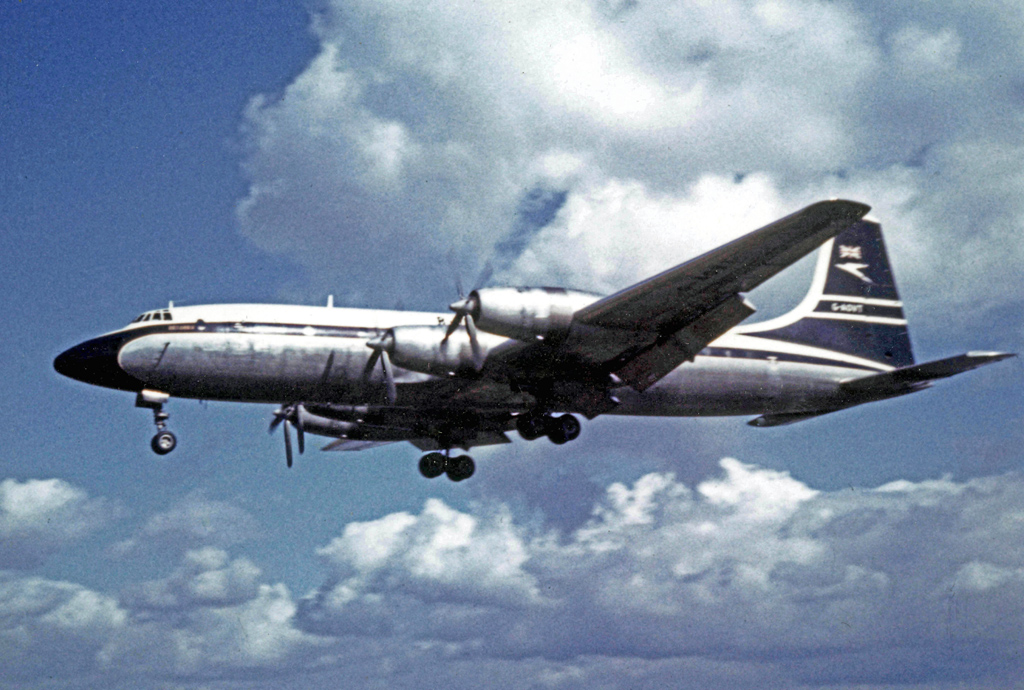
Downend air crash
The Downend air crash occurred on 6 November 1957 when a prototype Bristol Britannia aircraft crashed in woods near Overndale Road in Downend, a suburb...

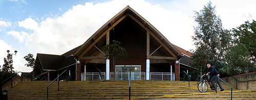
Page Park, Staple Hill
Page Park is a park in the Staple Hill area of South Gloucestershire.In 1910, the park was donated to the people of Staple Hill by Arthur William Page...

A4174 road
The A4174 is a major ring road in England which runs around the northern and eastern edge of Bristol, mainly in South Gloucestershire, and through the...
Nearby Amenities
Located within 500m of 51.49762,-2.489043Have you been to Blackhorse?
Leave your review of Blackhorse below (or comments, questions and feedback).