Gaultree
Settlement in Norfolk King's Lynn and West Norfolk
England
Gaultree
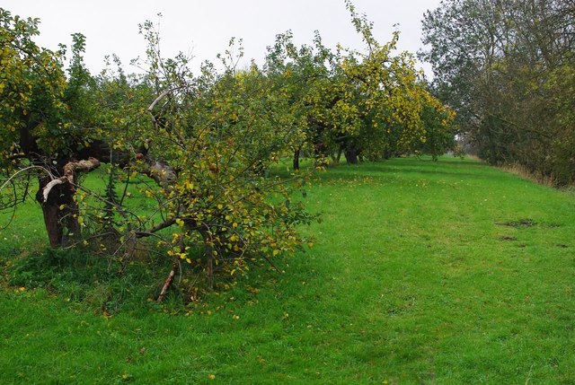
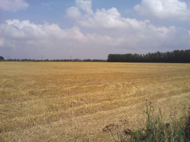
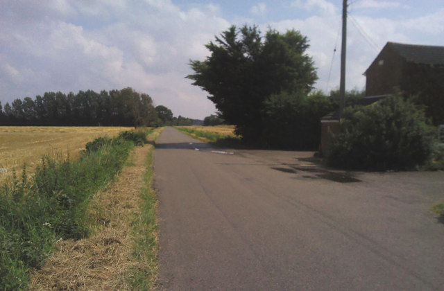
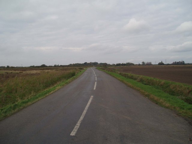
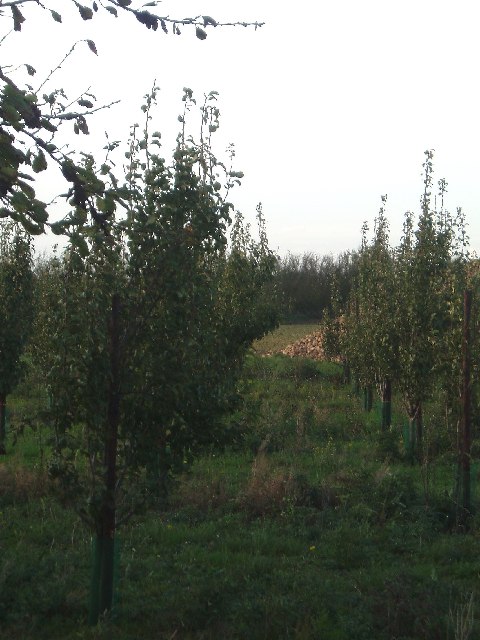
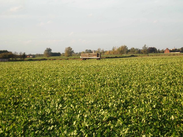
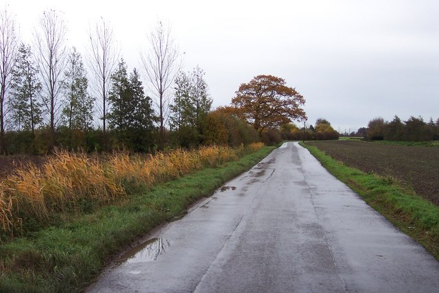
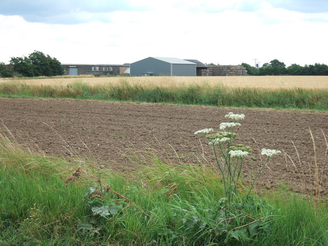
Gaultree is a small village located in the rural county of Norfolk, England. Situated in the East of England, Gaultree is nestled in the picturesque countryside and is known for its tranquility and natural beauty. The village is part of the Breckland district, and it is surrounded by fields, farmland, and rolling hills.
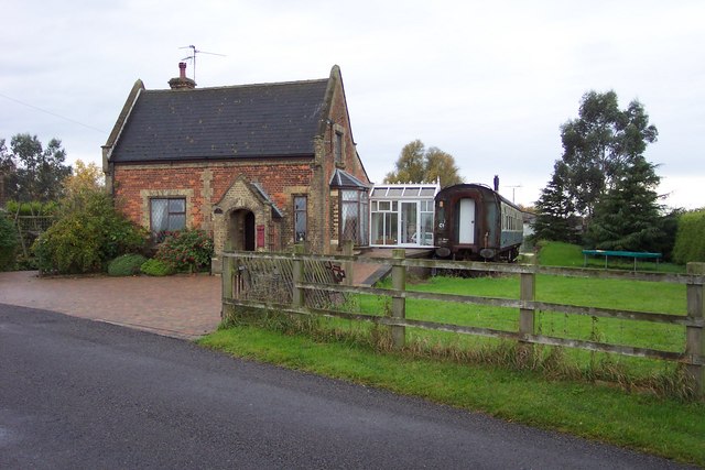
Gaultree, with a population of around 200 residents, boasts a rich history dating back centuries. The village is mentioned in the Domesday Book of 1086, highlighting its significance during the medieval period. The architecture of Gaultree reflects its historical past, with some buildings dating back to the 16th and 17th centuries.
Despite its small size, Gaultree offers a close-knit and welcoming community. The village has a local pub, The Gaultree Inn, which serves as a gathering place for residents and visitors alike. The pub offers traditional British cuisine and a cozy atmosphere, making it a popular spot for locals to socialize.
Surrounded by the Norfolk countryside, Gaultree provides ample opportunities for outdoor activities. The village is close to several nature reserves, including the popular Thetford Forest Park, which offers numerous walking and cycling trails. The region is also known for its wildlife, with birdwatching being a favorite pastime for many locals.
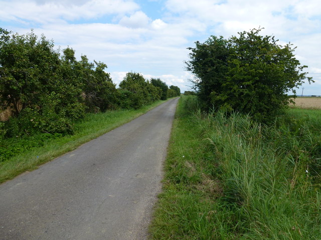
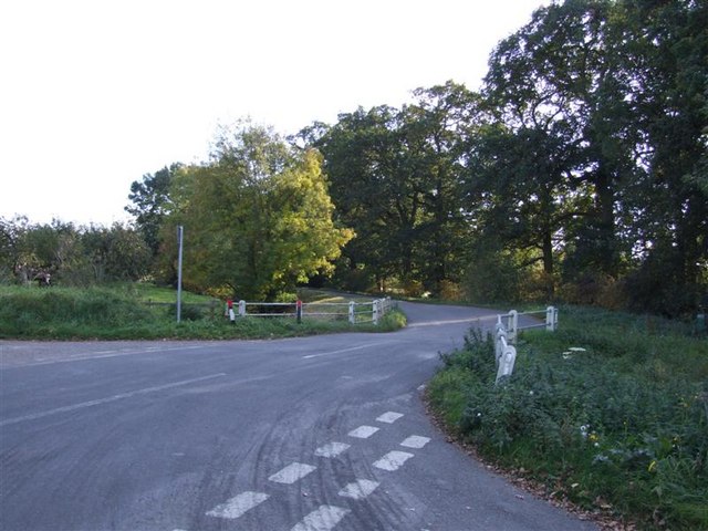
In terms of amenities, Gaultree has limited facilities. However, nearby towns and villages provide essential services, such as schools, shops, and healthcare facilities. The village is well-connected by road, with the A11 and A1066 providing easy access to neighboring towns and cities.
Overall, Gaultree is a peaceful and idyllic village, offering a quiet retreat in the heart of the Norfolk countryside. Its rich history, natural surroundings, and close-knit community make it an attractive place for those seeking a slower pace of life.
If you have any feedback on the listing, please let us know in the comments section below.
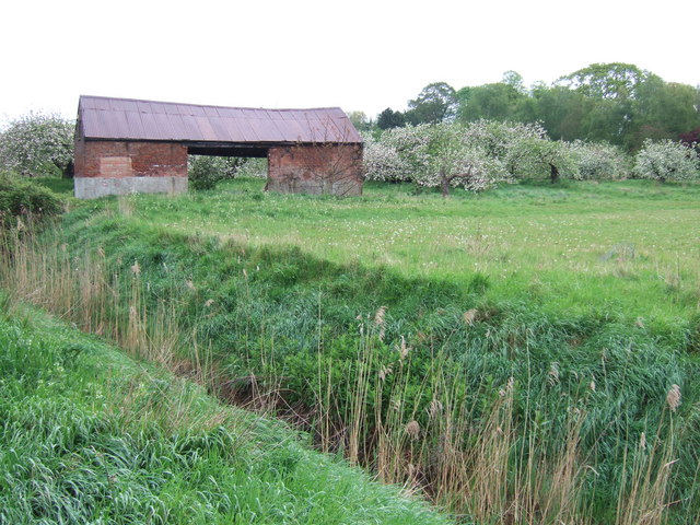
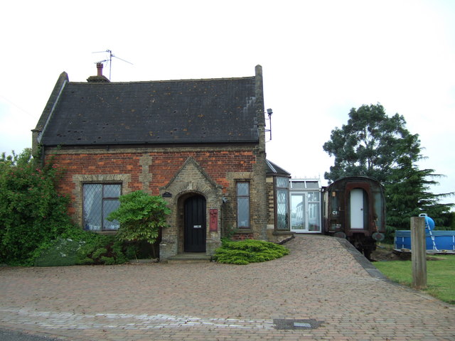
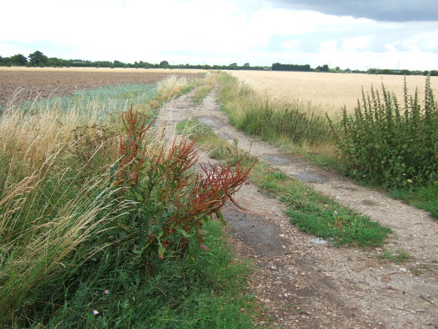
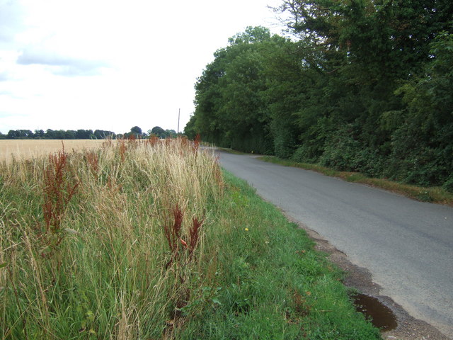
Gaultree Images
Images are sourced within 2km of 52.642064/0.21101519 or Grid Reference TF4907. Thanks to Geograph Open Source API. All images are credited.

Gaultree is located at Grid Ref: TF4907 (Lat: 52.642064, Lng: 0.21101519)
Administrative County: Norfolk
District: King's Lynn and West Norfolk
Police Authority: Norfolk
What 3 Words
///reinvest.redeeming.blinking. Near Emneth, Norfolk
Nearby Locations
Related Wikis

Emneth
Emneth is a village and civil parish in the English county of Norfolk. The village is located 2.9 miles (4.7 km) south-east of Wisbech, 12 miles (19 km...

Boyces Bridge railway station
Boyces Bridge railway station was a station in Norfolk on the Wisbech and Upwell Tramway commonly known as the Upwell Tramway. It was located north of...
Collett's Bridge
Collett's Bridge is a hamlet within the parish of Elm in the Isle of Ely, Cambridgeshire, England. It is situated on the eastern boundary of the district...

Elmbridge railway station
Elmbridge railway station was a stop on the Wisbech and Upwell Tramway. It was in a projection of the parish of Emneth, Norfolk but was immediately south...
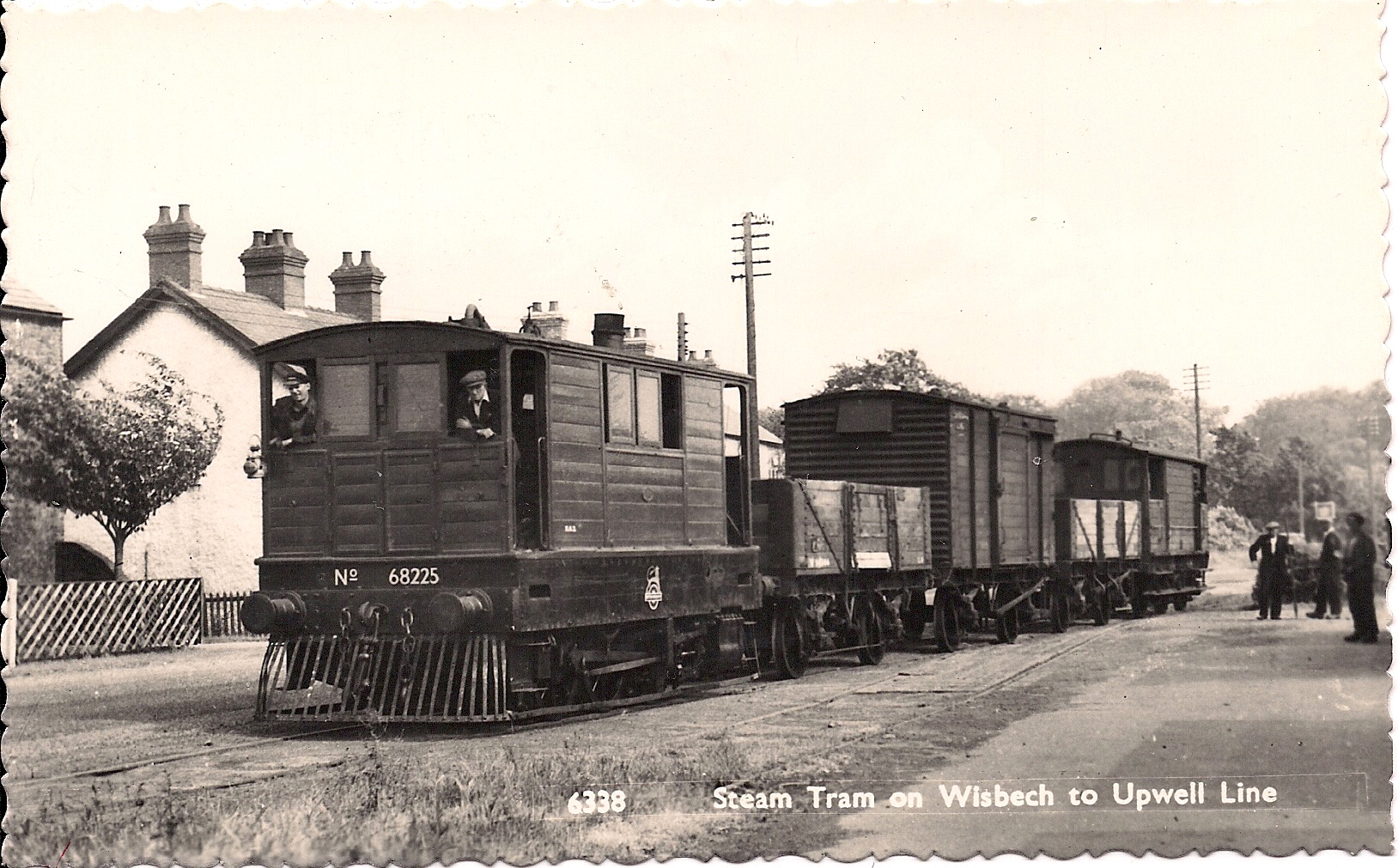
Wisbech and Upwell Tramway
The Wisbech and Upwell Tramway was a rural standard gauge tramway in East Anglia. It was built by the Great Eastern Railway between Wisbech, Isle of Ely...

Emneth railway station
Emneth was a railway station, near Wisbech, which served the village of Emneth, Norfolk. The station was opened in 1848 as an extension of the East Anglian...
Emneth Hungate
Emneth Hungate is a small settlement near the village of Emneth in Norfolk, England, near the border with Cambridgeshire. It once had its own Emneth railway...

Marshland Rural District
Marshland Rural District was a rural district in Norfolk, England from 1894 to 1974.It was formed under the Local Government Act 1894 based on the Marshland...
Nearby Amenities
Located within 500m of 52.642064,0.21101519Have you been to Gaultree?
Leave your review of Gaultree below (or comments, questions and feedback).