Emneth

Settlement in Norfolk / Cambridgeshire King's Lynn and West Norfolk

England

Emneth

Ancient orchard The orchard seems well tended, but I suspect the trees are a little past their best.
Ancient orchard Credit: Ben Harris

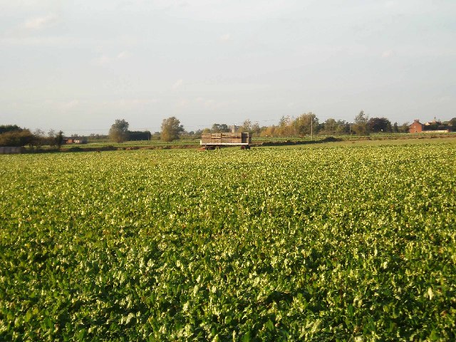
Emneth is a small village located on the border of Norfolk and Cambridgeshire in eastern England. Situated just 10 miles west of King's Lynn, the village is nestled in the heart of the Fens, an area known for its flat, marshy landscape. Emneth is surrounded by vast stretches of agricultural land, primarily used for farming and horticulture.

Despite its rural setting, Emneth offers a range of amenities to its residents. The village boasts a primary school, a community center, a post office, and a local convenience store. Additionally, there are several churches, including St. Edmund's Church, which dates back to the 13th century and serves as a historical landmark.

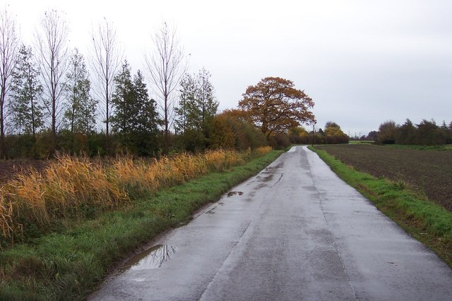
Emneth is well-connected to nearby towns and cities. The A47 road runs through the village, providing easy access to King's Lynn, Peterborough, and Norwich. The village also benefits from regular bus services, making it convenient for commuting and exploring the surrounding areas.

The community in Emneth is close-knit and vibrant. Residents actively participate in local events and organizations, such as the Emneth Agricultural Show and the Emneth History Group. The village has a strong sense of community spirit, with various social clubs and sports teams catering to different interests.

Overall, Emneth offers a peaceful countryside lifestyle while still providing essential amenities and a sense of community. It is a picturesque village that attracts those seeking a blend of rural tranquility and convenient access to larger towns and cities.

If you have any feedback on the listing, please let us know in the comments section below.
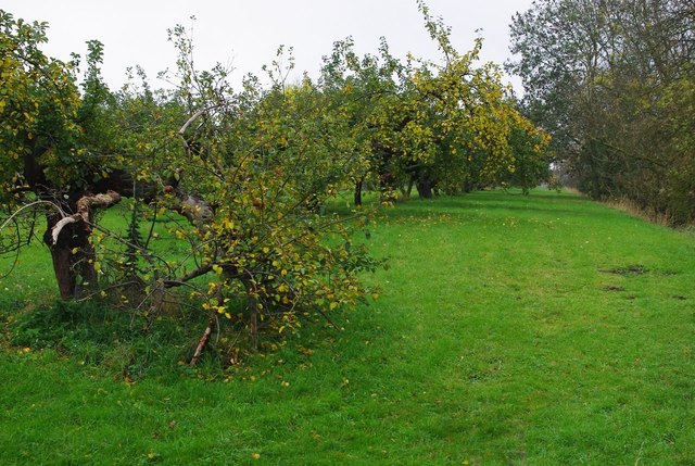
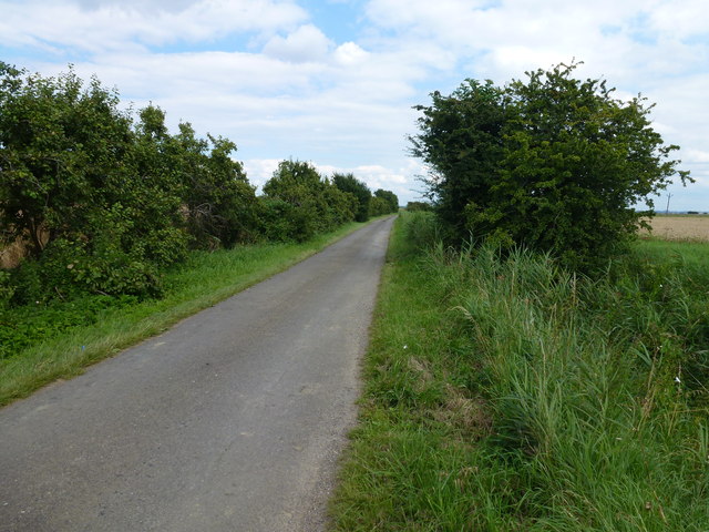
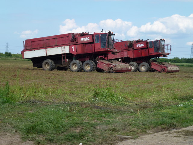
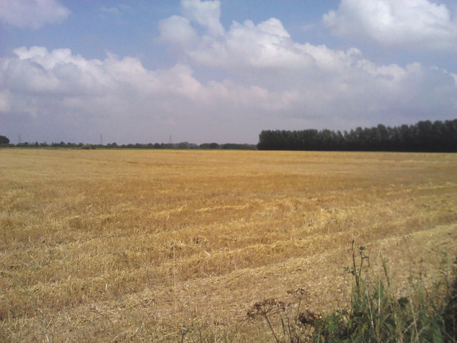
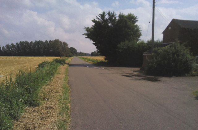
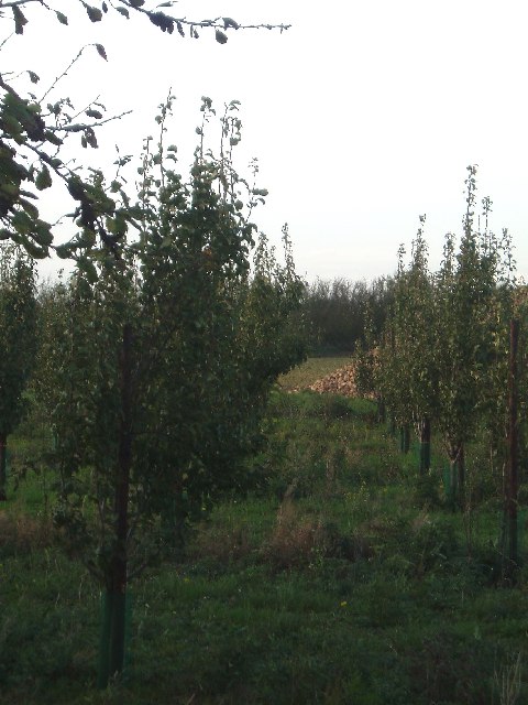
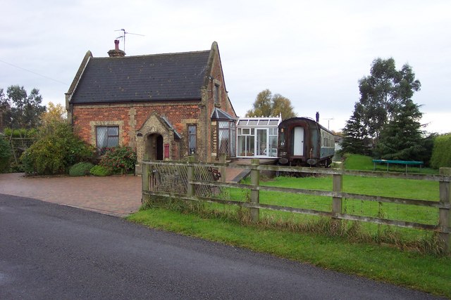
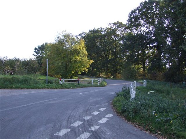
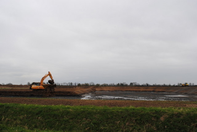
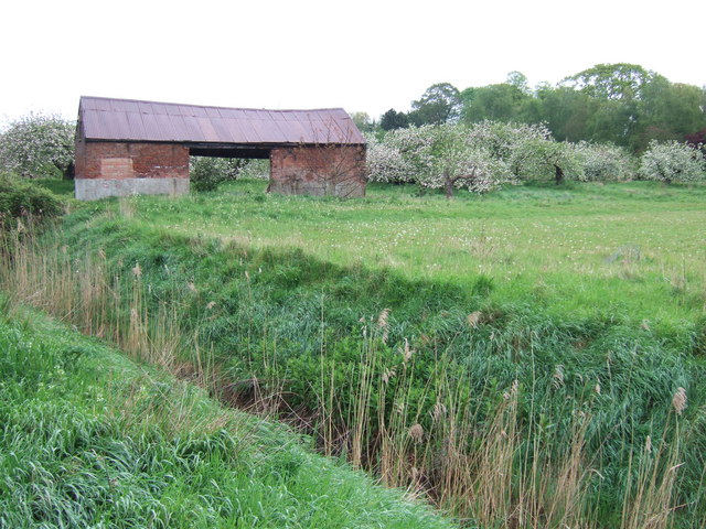
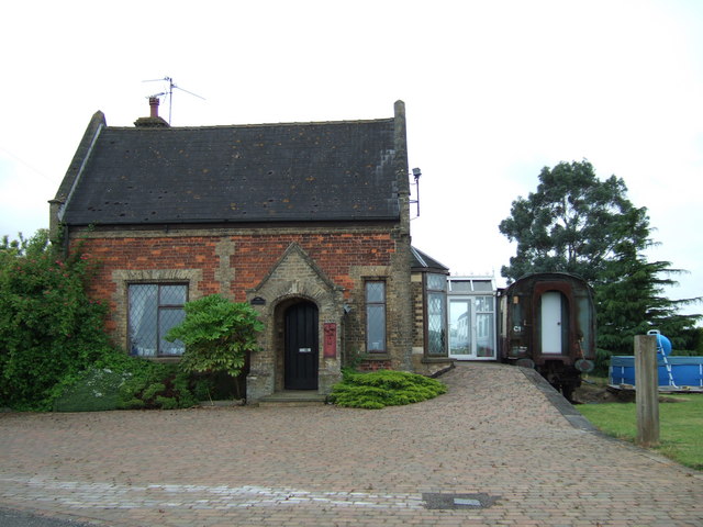
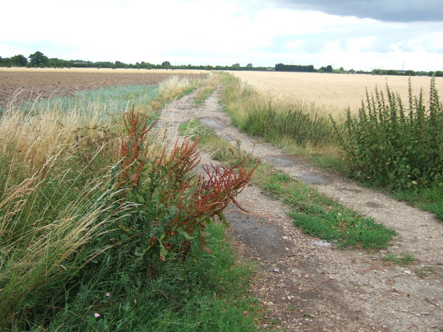
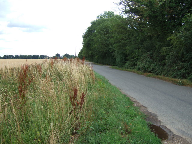
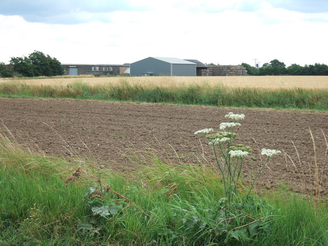
Emneth Images

Images are sourced within 2km of 52.64232/0.208211 or Grid Reference TF4907. Thanks to Geograph Open Source API. All images are credited.

Ancient orchard The orchard seems well tended, but I suspect the trees are a little past their best.
Ancient orchard
The orchard seems well tended, but I suspect the trees are a little past their best.
Fendike Road, Holly End, Emneth A quiet country lane which passes between Little Fendike Field and Great Fendike Field
Fendike Road, Holly End, Emneth
A quiet country lane which passes between Little Fendike Field and Great Fendike Field
Mobile pea viners near Emneth Hungate Just finished vining on Great Fendike Field
Mobile pea viners near Emneth Hungate
Just finished vining on Great Fendike Field
Crop field. Chequers Corner Recently harvested.
Crop field. Chequers Corner
Recently harvested.
Walsoken Road Heading south east.
Walsoken Road
Heading south east.
Recently planted apple trees, Fendyke. A somewhat unusual sight; orchards are usually grubbed out and the land used for other crops. Sugar beet in the background.
Recently planted apple trees, Fendyke.
A somewhat unusual sight; orchards are usually grubbed out and the land used for other crops. Sugar beet in the background.
The sky over Little Fendyke Field.
Holly Croft field, looking to Emneth parish church. This beet crop has yet to be harvested - the beet campaign is in full swing now. The church spire is beyond the farm trailer.
Holly Croft field, looking to Emneth parish church.
This beet crop has yet to be harvested - the beet campaign is in full swing now. The church spire is beyond the farm trailer.
Smeeth Road near Popenhoe Farm
Old Station near Emneth Hungate Now a house complete with extra living accommodation.
Old Station near Emneth Hungate
Now a house complete with extra living accommodation.
Titkill Bridge
Titkill Bridge
Smeeth Lode Flood Storage Area Priority 1 flood storage area under construction.
Smeeth Lode Flood Storage Area
Priority 1 flood storage area under construction.
An old barn This old barn is on the edge of a small orchard at Emneth Hungate not far from the scene of a shooting which received international press coverage  a few years ago.
An old barn
This old barn is on the edge of a small orchard at Emneth Hungate not far from the scene of a shooting which received international press coverage a few years ago.
Old Station north of Emneth On Station Road it was once part of the railway infrastructure between Wisbech and King's Lynn.  <span class="nowrap"><a title="http://en.wikipedia.org/wiki/Emneth_railway_station" rel="nofollow ugc noopener" href="http://en.wikipedia.org/wiki/Emneth_railway_station">Link</a><img style="margin-left:2px;" alt="External link" title="External link - shift click to open in new window" src="https://s1.geograph.org.uk/img/external.png" width="10" height="10"/></span>
Old Station north of Emneth
On Station Road it was once part of the railway infrastructure between Wisbech and King's Lynn. LinkExternal link
Farm track off Hungate Road, Emneth
Hungate Road, Emneth near Wisbech
Farmland off Smeeth Road near Emneth, Wisbech
Smeeth Road near Emneth Looking towards Chequers Corner
Smeeth Road near Emneth
Looking towards Chequers Corner
Show me another place!

Emneth is located at Grid Ref: TF4907 (Lat: 52.64232, Lng: 0.208211)

Administrative County: Norfolk

District: King's Lynn and West Norfolk

Police Authority: Norfolk

What 3 Words

///spinners.umbrellas.hill. Near Emneth, Norfolk

Related Wikis

Emneth

Emneth is a village and civil parish in the English county of Norfolk. The village is located 2.9 miles (4.7 km) south-east of Wisbech, 12 miles (19 km...

Boyces Bridge railway station

Boyces Bridge railway station was a station in Norfolk on the Wisbech and Upwell Tramway commonly known as the Upwell Tramway. It was located north of...

Collett's Bridge

Collett's Bridge is a hamlet within the parish of Elm in the Isle of Ely, Cambridgeshire, England. It is situated on the eastern boundary of the district...

Elmbridge railway station

Elmbridge railway station was a stop on the Wisbech and Upwell Tramway. It was in a projection of the parish of Emneth, Norfolk but was immediately south...

Nearby Amenities

Located within 500m of 52.64232,0.208211
Emneth
Is In: Norfolk
Place: village
Lat/Long: 52.6418172/0.207413
Bus Stop
Emneth Methodist Church
Alt Name: Emneth- Bus Shelter- Methodist Chuch
Bus: yes
Naptan AltCommonName: Emneth- Bus Shelter- Methodist Church
Naptan AtcoCode: 2900E091
Naptan Bearing: N
Naptan CommonName: bus shelter
Naptan Indicator: adj
Naptan Landmark: bus shelter
Naptan Locality: Emneth
Naptan NaptanCode: nfoapdjm
Naptan Street: Gaultree Square
Naptan Verified: no
Public Transport: platform
Source: naptan_import
Lat/Long: 52.6411307/0.2081349
Hollycroft Close, adj
Naptan AtcoCode: 2900E0916
Naptan Bearing: S
Naptan BusStopType: CUS
Naptan CommonName: Hollycroft Close
Naptan Indicator: adj
Naptan Landmark: Hollycroft Close
Naptan Locality: Emneth
Naptan NaptanCode: nfoapdmj
Naptan ShortCommonName: Hollycroft Close
Naptan Street: Hollycroft Road
Naptan Verified: no
Source: naptan_import
Lat/Long: 52.6393535/0.2098929
Hollycroft Close, opp
Naptan AtcoCode: 2900E0917
Naptan Bearing: N
Naptan BusStopType: CUS
Naptan CommonName: Hollycroft Close
Naptan Indicator: opp
Naptan Landmark: Hollycroft Close
Naptan Locality: Emneth
Naptan NaptanCode: nfoapdmp
Naptan ShortCommonName: Hollycroft Close
Naptan Street: Hollycroft Road
Naptan Verified: no
Source: naptan_import
Lat/Long: 52.6391384/0.2098525
Bus Stop
Emneth Methodist Church
Alt Name: Emneth- opp Methodist Church
Bus: yes
Naptan AltCommonName: Emneth- opp Methodist Church
Naptan AtcoCode: 2900E098
Naptan Bearing: S
Naptan CommonName: bus shelter
Naptan Indicator: opp
Naptan Landmark: opp bus shelter
Naptan Locality: Emneth
Naptan NaptanCode: nfoapdtg
Naptan Street: Gaultree Square
Naptan Verified: no
Public Transport: platform
Source: naptan_import
Lat/Long: 52.6410833/0.2082655
Give Way
Lat/Long: 52.6406132/0.2082649
Brand: Spar
Brand Wikidata: Q610492
Shop: convenience
Lat/Long: 52.6407694/0.2084543
Pub
Gaultree Inn
Addr City: Wisbech
Addr Housenumber: 38
Addr Postcode: PE14 8DD
Addr Street: Gaultree Square
Addr Village: Emneth
Fhrs Id: 39852
Source Addr: FHRS Open Data
Lat/Long: 52.6407644/0.2079888
Shop: angling
Lat/Long: 52.640918/0.2083967
Turning Circle
Lat/Long: 52.6423206/0.2056539
Turning Circle
Lat/Long: 52.6422833/0.206856
Place Of Worship
Emneth Methodist Church
Addr City: Wisbech
Addr Housenumber: 22
Addr Postcode: PE14 8DD
Addr Street: Gaultree Square
Addr Village: Emneth
Denomination: methodist
Fhrs Id: 804137
Religion: christian
Source Addr: FHRS Open Data
Lat/Long: 52.641454/0.208031
Post Office
Emneth Village Stores
Lat/Long: 52.6416364/0.2080196
Curtis
Addr City: Wisbech
Addr Housenumber: 18
Addr Postcode: PE14 8DD
Addr Street: Gaultree Square
Addr Village: Emneth
Fhrs Id: 87830
Shop: butcher
Source Addr: FHRS Open Data
Lat/Long: 52.6418436/0.2080196
Turning Circle
Lat/Long: 52.6438915/0.2077419
Turning Circle
Lat/Long: 52.6385505/0.2111623
Fast Food
Jade House
Cuisine: chinese
Lat/Long: 52.6399397/0.2095095
Queen's Head
Disused Amenity: pub
Lat/Long: 52.6406014/0.2092854
Turning Circle
Lat/Long: 52.6386316/0.2123906
Leisure: playground
Lat/Long: 52.6422875/0.2150831
Barrier: swing_gate
Lat/Long: 52.6422029/0.2139942
Give Way
Lat/Long: 52.6406452/0.2082677
Give Way
Lat/Long: 52.642317/0.2064857
Give Way
Lat/Long: 52.6423095/0.2063893
The data included in this document is from www.openstreetmap.org. The data is made available under ODbL.

Have you been to Emneth?

Leave your review of Emneth below (or comments, questions and feedback).