Dutton
Civil Parish in Lancashire Ribble Valley
England
Dutton
Dutton is a small civil parish located in the county of Lancashire, England. Situated in the North West of the country, it is part of the local government district of Ribble Valley. The parish covers a total area of approximately 2 square miles and is home to a population of around 200 residents.
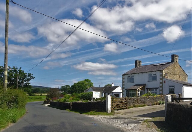
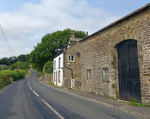
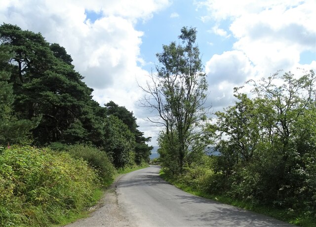
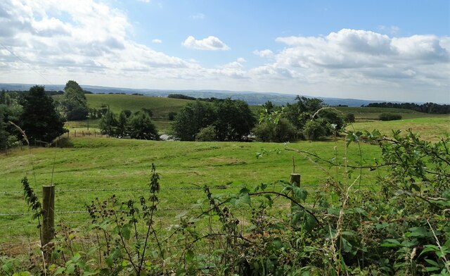
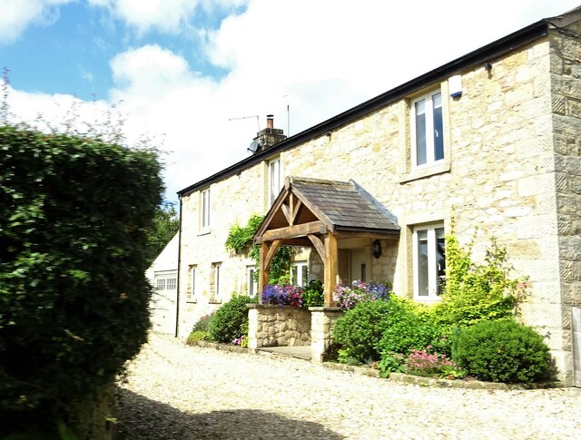
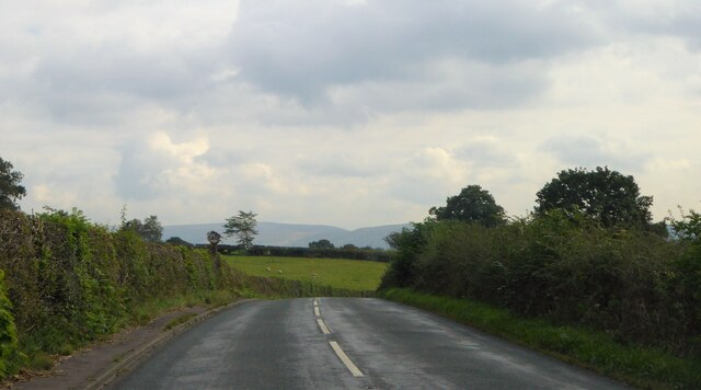
Dutton is a predominantly rural area with a charming countryside setting. Surrounded by rolling hills and picturesque landscapes, it offers a peaceful and idyllic environment for its inhabitants. The parish is known for its agricultural heritage, with farming being a significant part of the local economy.
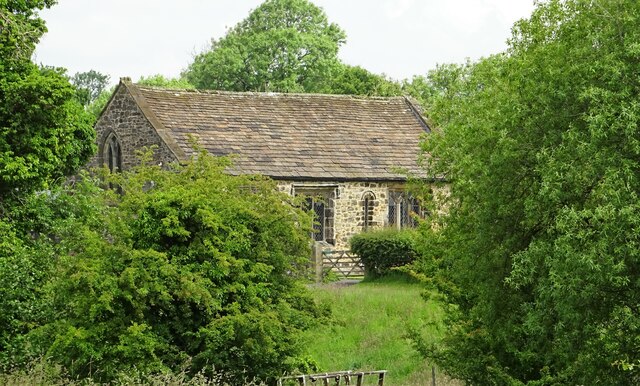
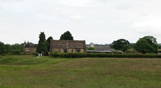
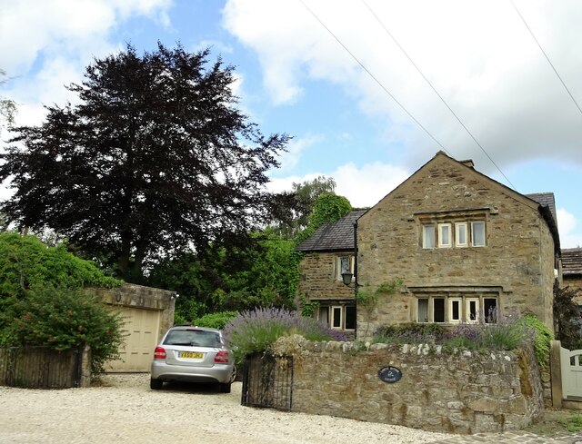
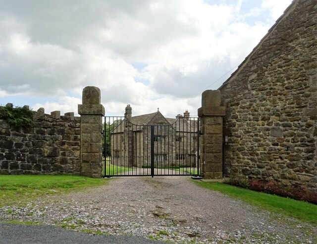
The parish is made up of a small cluster of houses and farms, creating a close-knit community where neighbors often know each other. The village center consists of a few local amenities, including a village hall, church, and a primary school. The church, dedicated to All Saints, is a historic building dating back several centuries and serves as a focal point for the community.
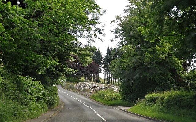
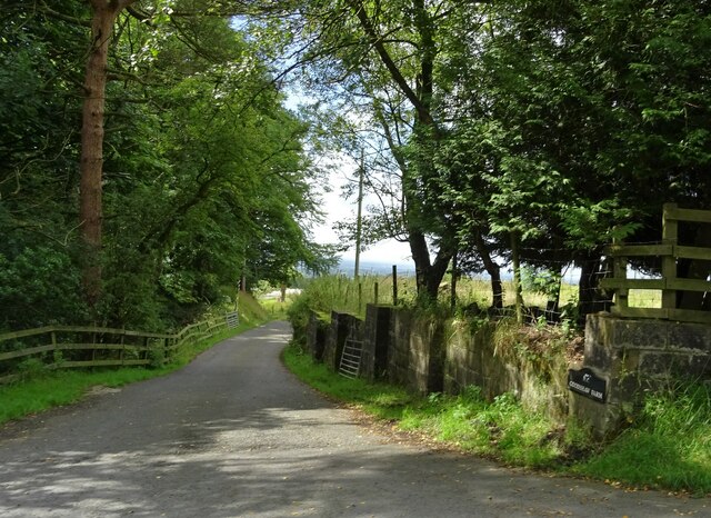
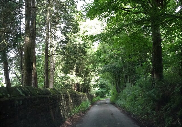
Dutton is well-connected to neighboring areas by road, with the A59 passing nearby, providing easy access to the nearby towns of Whalley and Clitheroe. The surrounding countryside offers opportunities for outdoor activities such as walking and cycling, with numerous footpaths and trails to explore.
Overall, Dutton is a tranquil and picturesque civil parish, offering its residents a peaceful rural lifestyle within easy reach of larger towns and amenities.
If you have any feedback on the listing, please let us know in the comments section below.
Dutton Images
Images are sourced within 2km of 53.836527/-2.52291 or Grid Reference SD6537. Thanks to Geograph Open Source API. All images are credited.


Dutton is located at Grid Ref: SD6537 (Lat: 53.836527, Lng: -2.52291)
Administrative County: Lancashire
District: Ribble Valley
Police Authority: Lancashire
What 3 Words
///promising.chefs.breezes. Near Longridge, Lancashire
Nearby Locations
Related Wikis

Dutton, Lancashire
Dutton is a civil parish in the Borough of Ribble Valley in the English county of Lancashire, its principal settlement being the hamlet of Lower Dutton...

Punch Bowl Inn
The Punch Bowl Inn was an 18th-century grade II-listed public house in Hurst Green, Ribble Valley, Lancashire, England. It consisted of a number of independent...
Stydd
The manor of Stydd is in the county of Lancashire. It is situated on the north eastern edge of the village of Ribchester. It has three notable buildings...

St Saviour's Church, Stydd
St Saviour's Church is an Anglican chapel in Stydd, a hamlet near Ribchester in Lancashire, England. It has been designated a Grade I listed building by...
Nearby Amenities
Located within 500m of 53.836527,-2.52291Have you been to Dutton?
Leave your review of Dutton below (or comments, questions and feedback).