Davies Gate Wood
Wood, Forest in Lancashire Ribble Valley
England
Davies Gate Wood
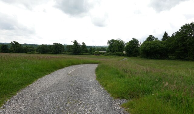
Davies Gate Wood is a serene and picturesque forest located in Lancashire, England. Covering an area of approximately 50 acres, this woodland is a haven for nature enthusiasts, hikers, and wildlife lovers alike.
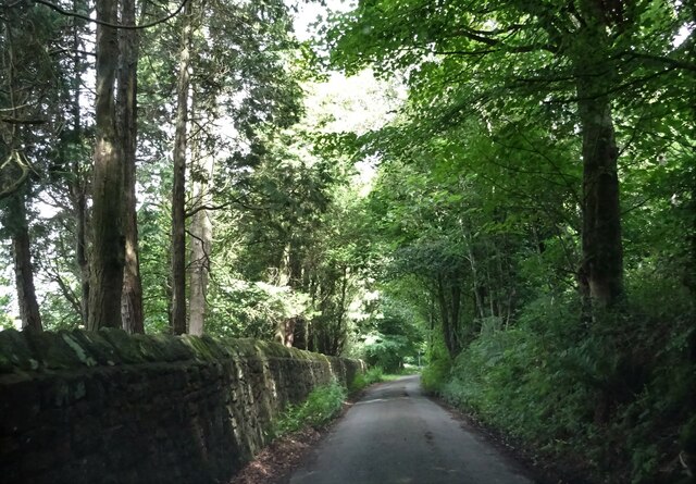
The wood is characterized by a diverse range of tree species, including oak, beech, birch, and ash, creating a stunningly beautiful and vibrant landscape throughout the year. The dense canopy of trees provides ample shade, making it a perfect destination for a leisurely stroll on warm summer days.
Traversing through Davies Gate Wood, visitors will encounter a network of well-maintained footpaths and trails, allowing them to explore the natural wonders of the forest. As they wander deeper into the wood, they may stumble upon enchanting ponds and small streams, adding to the area's charm and tranquility.
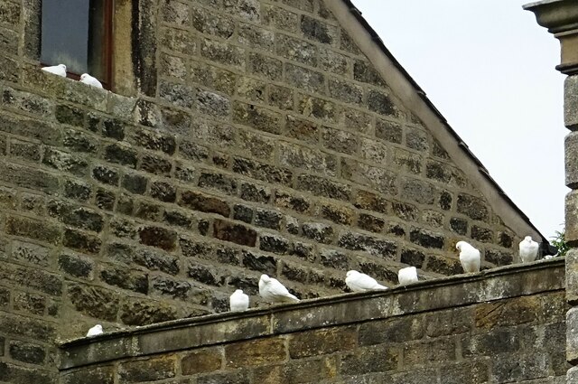
The forest is home to a variety of wildlife, including deer, squirrels, foxes, and a plethora of bird species. Birdwatchers will be delighted by the opportunity to spot woodpeckers, owls, and a myriad of other feathered friends nesting among the trees.
Davies Gate Wood is also steeped in history, with remnants of ancient settlements and archaeological sites scattered throughout the area. The forest has been carefully preserved and protected, ensuring its cultural and environmental significance is respected and appreciated.
Overall, Davies Gate Wood in Lancashire offers a peaceful retreat from the hustle and bustle of everyday life, allowing visitors to reconnect with nature and experience the beauty of a traditional English woodland.
If you have any feedback on the listing, please let us know in the comments section below.
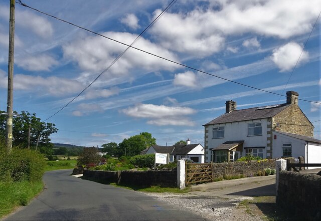
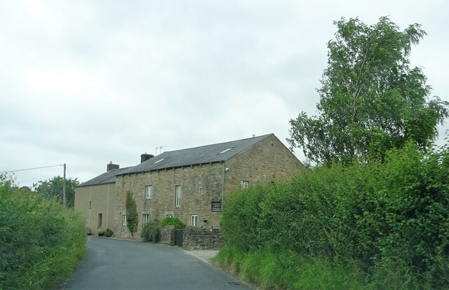
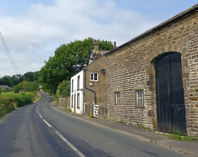
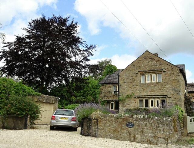
Davies Gate Wood Images
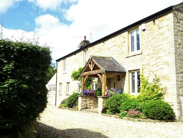
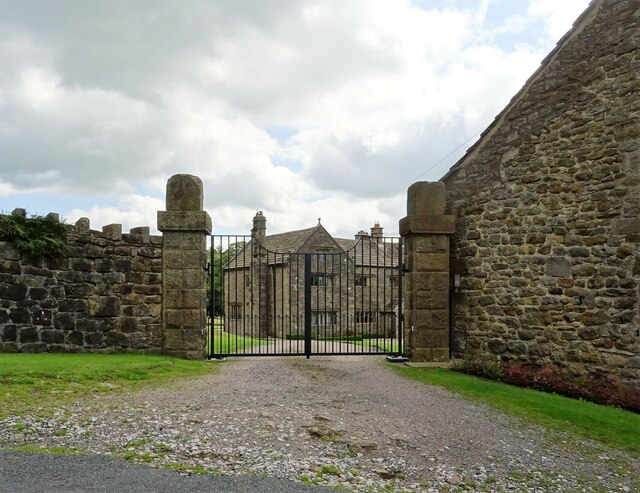
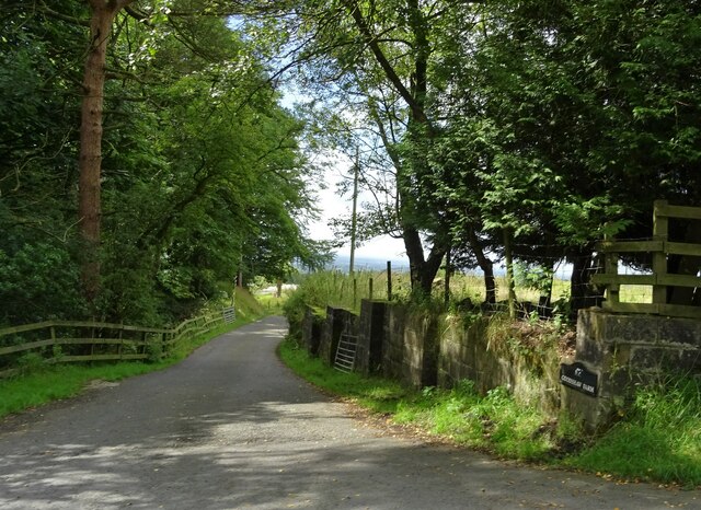
Images are sourced within 2km of 53.832254/-2.5318221 or Grid Reference SD6537. Thanks to Geograph Open Source API. All images are credited.


Davies Gate Wood is located at Grid Ref: SD6537 (Lat: 53.832254, Lng: -2.5318221)
Administrative County: Lancashire
District: Ribble Valley
Police Authority: Lancashire
What 3 Words
///footpath.aboard.pedicure. Near Longridge, Lancashire
Nearby Locations
Related Wikis

Dutton, Lancashire
Dutton is a civil parish in the Borough of Ribble Valley in the English county of Lancashire, its principal settlement being the hamlet of Lower Dutton...
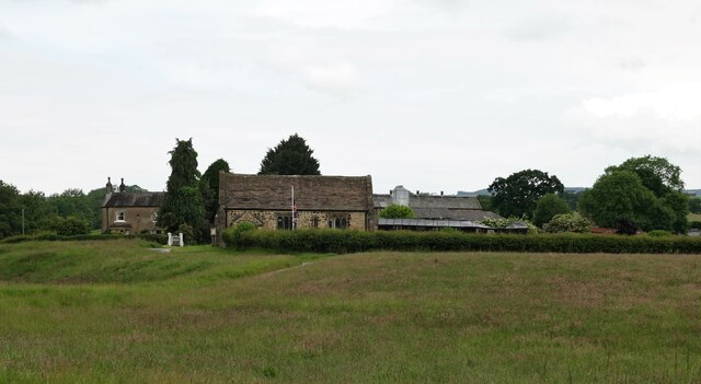
Stydd
The manor of Stydd is in the county of Lancashire. It is situated on the north eastern edge of the village of Ribchester. It has three notable buildings...

St Saviour's Church, Stydd
St Saviour's Church is an Anglican chapel in Stydd, a hamlet near Ribchester in Lancashire, England. It has been designated a Grade I listed building by...
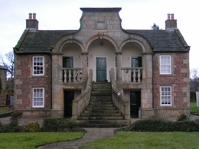
Almshouse, Ribchester
Ribchester Almshouse is a building on Stydd Lane in the English manor of Stydd, near Ribchester, Lancashire. It dates to 1728 and is a Grade II* listed...

8 Blackburn Road
8 Blackburn Road is a building in the English village of Ribchester, Lancashire. Standing at the junction of Blackburn Road and Ribblesdale Road, it dates...
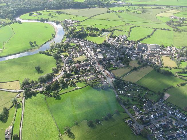
Ribchester
Ribchester () is a village and civil parish within the Ribble Valley district of Lancashire, England. It lies on the banks of the River Ribble, six miles...

Ribchester Bridge
Ribchester Bridge is a toll-free, three-span bridge over the River Ribble near Ribchester, Lancashire, England. A Grade II listed structure, located about...

The White Bull, Ribchester
The White Bull (also known as the White Bull Inn) is a public house and inn on Church Street (formerly one of the Roman Watling Streets) in the English...
Nearby Amenities
Located within 500m of 53.832254,-2.5318221Have you been to Davies Gate Wood?
Leave your review of Davies Gate Wood below (or comments, questions and feedback).