Duddel Hill

Hill, Mountain in Lancashire Ribble Valley

England

Duddel Hill

New Hotel, Blackburn Road Appears to have been the former barn to Stone House, converted to a hotel and now residential
New Hotel, Blackburn Road Credit: Kevin Waterhouse

Duddel Hill is a prominent landmark located in the county of Lancashire, England. Situated near the town of Oswaldtwistle, it is known for its distinctive hilly terrain and captivating natural beauty. Duddel Hill stands at an elevation of approximately 352 meters (1,155 feet) above sea level, making it one of the highest points in the region.

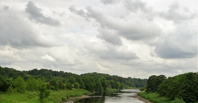
The hill is a popular destination for hikers and nature enthusiasts, offering breathtaking panoramic views of the surrounding countryside and nearby towns. On a clear day, visitors can enjoy vistas that stretch as far as the Pennines and the West Pennine Moors. The lush greenery and diverse flora and fauna of Duddel Hill also make it an attractive spot for wildlife observation and photography.

The hill is easily accessible by a network of footpaths and trails, making it a great location for outdoor activities such as walking, running, and cycling. It is also home to a number of historical landmarks, including the remnants of an ancient burial mound and a Bronze Age settlement, which add to its cultural significance.

Duddel Hill is not only a natural treasure but also an important part of Lancashire's history and heritage. It offers a peaceful retreat from the hustle and bustle of urban life and provides an opportunity to connect with nature and explore the region's rich past.

If you have any feedback on the listing, please let us know in the comments section below.
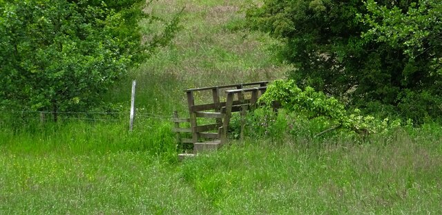
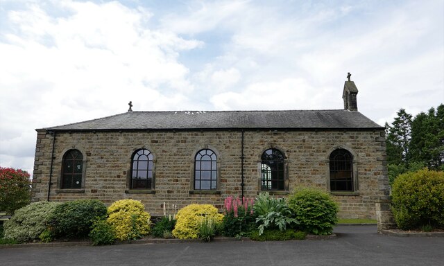
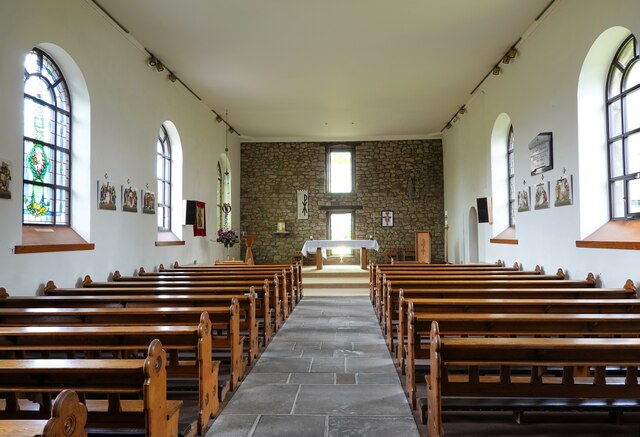
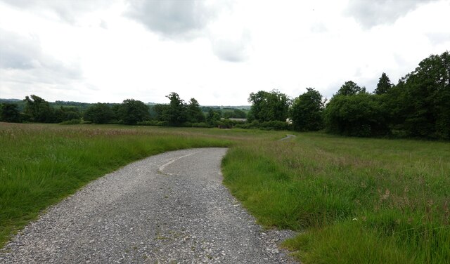
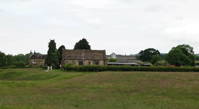
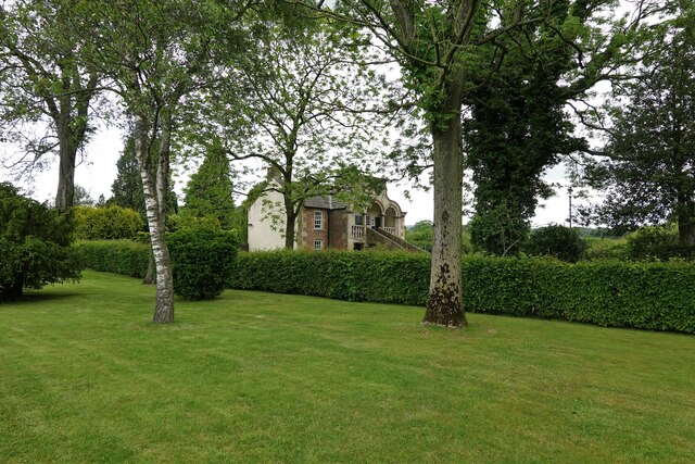
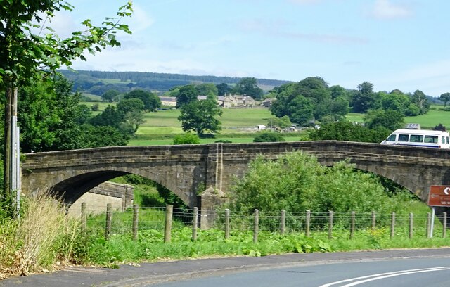
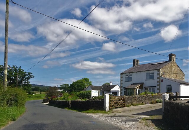
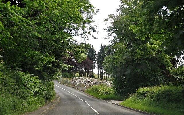
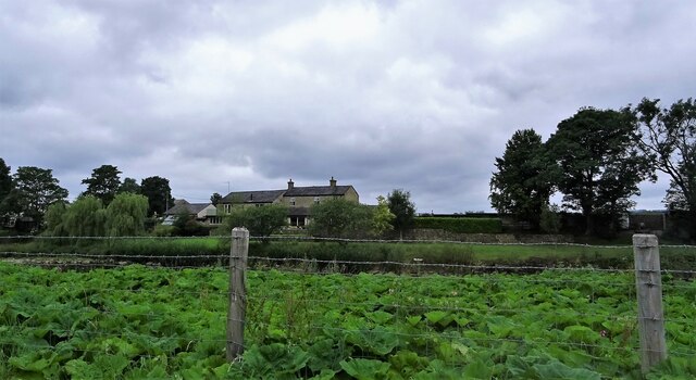
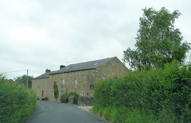
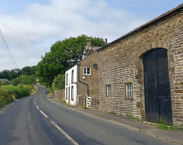
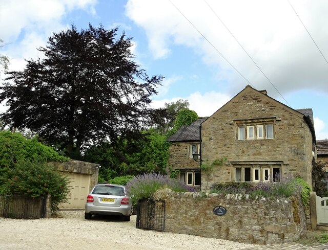
Duddel Hill Images

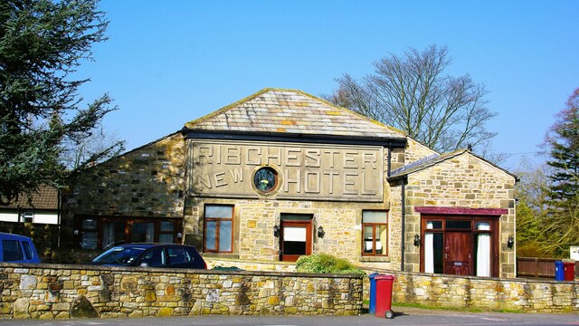
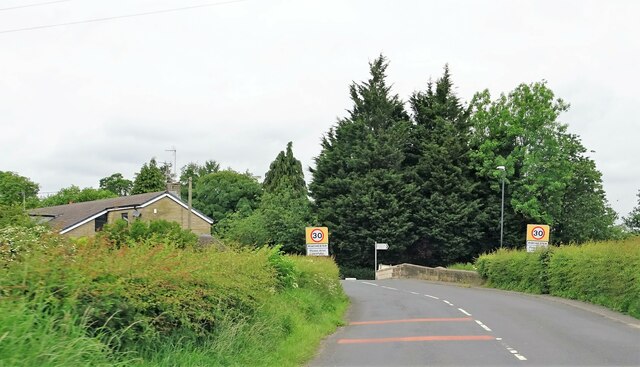
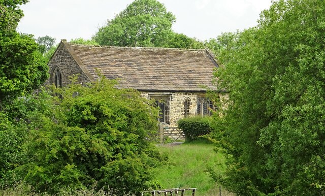
Images are sourced within 2km of 53.83146/-2.5264485 or Grid Reference SD6537. Thanks to Geograph Open Source API. All images are credited.

New Hotel, Blackburn Road Appears to have been the former barn to Stone House, converted to a hotel and now residential
New Hotel, Blackburn Road
Appears to have been the former barn to Stone House, converted to a hotel and now residential
Entering Ribchester Stone Bridge carries the road over three brooks - Stydd, Duddel and Boyce's - which confluence metres to the north, and the combined stream then empties into the River Ribble a few metres to the south.
Entering Ribchester
Stone Bridge carries the road over three brooks - Stydd, Duddel and Boyce's - which confluence metres to the north, and the combined stream then empties into the River Ribble a few metres to the south.
White doves The colony nests around the R.C. church of Ss. Peter and Paul in Stydd.
White doves
The colony nests around the R.C. church of Ss. Peter and Paul in Stydd.
The church of St. Saviour Dating from the late 12th century, the church is Grade I listed.
The church of St. Saviour
Dating from the late 12th century, the church is Grade I listed.
Footbridge in the fields The bridge crosses Stydd Brook.
Footbridge in the fields
The bridge crosses Stydd Brook.
River Ribble Looking north east from Ribchester Bridge.
River Ribble
Looking north east from Ribchester Bridge.
Ss. Peter and Paul R.C. Church A grade II listed barn church in Stydd, built in 1789.
Ss. Peter and Paul R.C. Church
A grade II listed barn church in Stydd, built in 1789.
Ss. Peter and Paul R.C. Church A grade II listed barn church built in 1789.
Ss. Peter and Paul R.C. Church
A grade II listed barn church built in 1789.
Stydd Lane Leading from Stydd Manor, the lane joins Blackburn Road at the eastern edge of Ribchester.
Stydd Lane
Leading from Stydd Manor, the lane joins Blackburn Road at the eastern edge of Ribchester.
St. Saviour's Church and Stydd Manor The church is grade I listed, built in late C12th with later alterations.
St. Saviour's Church and Stydd Manor
The church is grade I listed, built in late C12th with later alterations.
Almshouses at Stydd Founded under the will of John Shireburne, who died in 1726, the building is grade II* listed.
Almshouses at Stydd
Founded under the will of John Shireburne, who died in 1726, the building is grade II* listed.
Ribchester Bridge Carrying the B6245 over the River Ribble.
Ribchester Bridge
Carrying the B6245 over the River Ribble.
Panstones Farm On Gallows Lane.
Panstones Farm
On Gallows Lane.
Remains of the Punch Bowl The pub on Longridge Road outside Hurst Green was a grade II listed building. It was demolished without notification to or permission from the relevant authority, who have now ordered the owners to rebuild the structure.
Remains of the Punch Bowl
The pub on Longridge Road outside Hurst Green was a grade II listed building. It was demolished without notification to or permission from the relevant authority, who have now ordered the owners to rebuild the structure.
Houses in Little Town The rear of the houses on Blackburn Road from Barker Brow across the River Ribble, near Ribchester Bridge.
Houses in Little Town
The rear of the houses on Blackburn Road from Barker Brow across the River Ribble, near Ribchester Bridge.
Ease Barn Farm On Gallows Lane near Ribchester.
Ease Barn Farm
On Gallows Lane near Ribchester.
Moor Cock Farm On the B6423 at Dutton.
Moor Cock Farm
On the B6423 at Dutton.
Lower Dutton Cottage On Gallows Lane near Ribchester.
Lower Dutton Cottage
On Gallows Lane near Ribchester.
Show me another place!

Duddel Hill is located at Grid Ref: SD6537 (Lat: 53.83146, Lng: -2.5264485)

Administrative County: Lancashire

District: Ribble Valley

Police Authority: Lancashire

What 3 Words

///bronzed.perplexed.extend. Near Longridge, Lancashire

Related Wikis

Dutton, Lancashire

Dutton is a civil parish in the Borough of Ribble Valley in the English county of Lancashire, its principal settlement being the hamlet of Lower Dutton...

Stydd

The manor of Stydd is in the county of Lancashire. It is situated on the north eastern edge of the village of Ribchester. It has three notable buildings...

St Saviour's Church, Stydd

St Saviour's Church is an Anglican chapel in Stydd, a hamlet near Ribchester in Lancashire, England. It has been designated a Grade I listed building by...

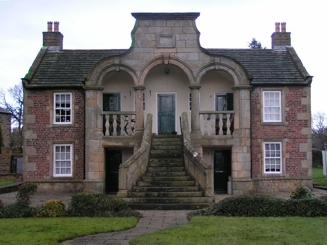
Almshouse, Ribchester

Ribchester Almshouse is a building on Stydd Lane in the English manor of Stydd, near Ribchester, Lancashire. It dates to 1728 and is a Grade II* listed...

Nearby Amenities

Located within 500m of 53.83146,-2.5264485
cross remains
Historic: wayside_cross
Source: OS 1:25k
Lat/Long: 53.8307765/-2.525332
The data included in this document is from www.openstreetmap.org. The data is made available under ODbL.

Have you been to Duddel Hill?

Leave your review of Duddel Hill below (or comments, questions and feedback).