Duddel Wood

Wood, Forest in Lancashire Ribble Valley

England

Duddel Wood

New Hotel, Blackburn Road Appears to have been the former barn to Stone House, converted to a hotel and now residential
New Hotel, Blackburn Road Credit: Kevin Waterhouse

Duddel Wood is a picturesque woodland located in Lancashire, England. Situated near the village of Duddel, this enchanting forest covers an area of approximately 100 acres, offering visitors a serene and tranquil retreat from the hustle and bustle of daily life.

The wood boasts a diverse range of tree species, including oak, ash, birch, and beech, which create a beautiful and vibrant canopy overhead. The forest floor is adorned with an array of wildflowers, ferns, and mosses, adding to the woodland's natural charm. The dense vegetation provides a habitat for various wildlife, including birds, squirrels, rabbits, and deer, making it a popular destination for nature enthusiasts and wildlife photographers.

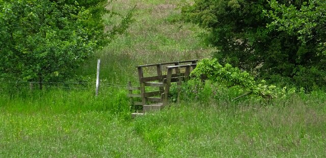
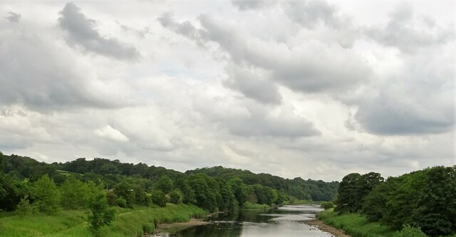
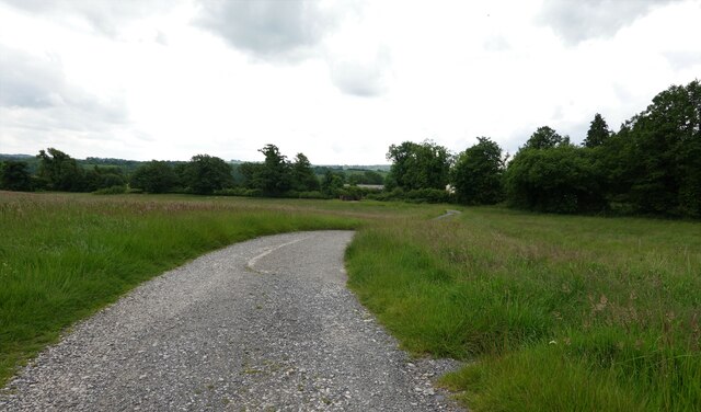
Duddel Wood offers several walking trails, allowing visitors to explore its hidden treasures at their own pace. These well-maintained paths wind through the forest, offering glimpses of small streams, cascading waterfalls, and ancient stone bridges along the way. The woodland is especially breathtaking during the autumn months when the leaves change color, creating a vibrant and picturesque landscape.

For those seeking a moment of tranquility, Duddel Wood provides several designated picnic areas, where visitors can relax and enjoy the peaceful ambiance. Additionally, the woodland offers camping facilities for those who wish to immerse themselves in nature overnight.

Overall, Duddel Wood is a charming and idyllic forest, offering visitors a chance to reconnect with nature and experience the beauty of Lancashire's countryside. Whether it's a leisurely stroll, wildlife spotting, or a family picnic, this woodland sanctuary has something to offer for everyone.

If you have any feedback on the listing, please let us know in the comments section below.
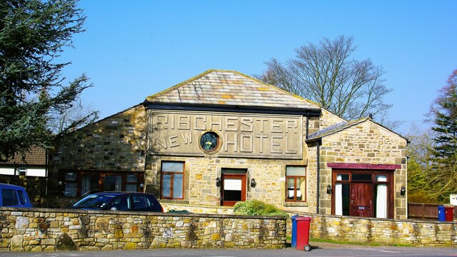
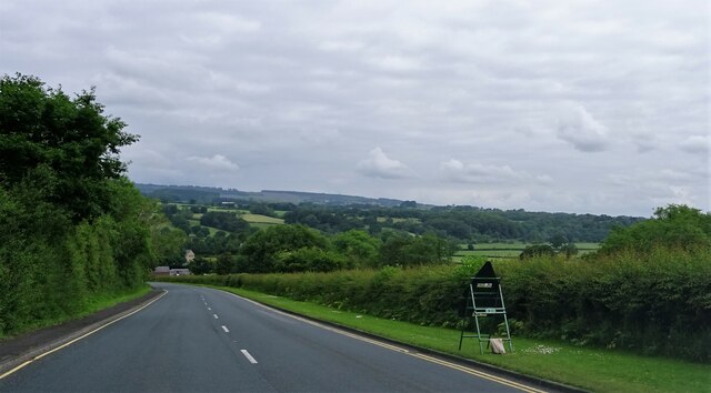
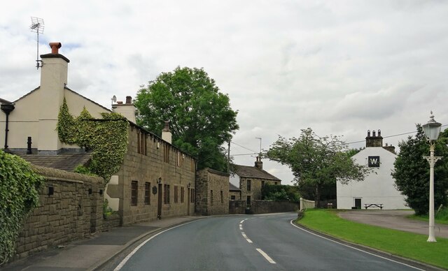
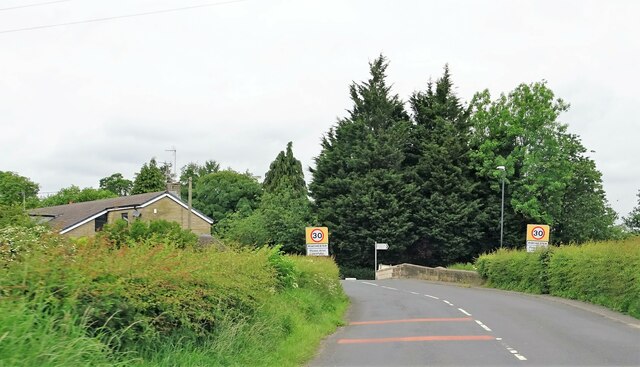
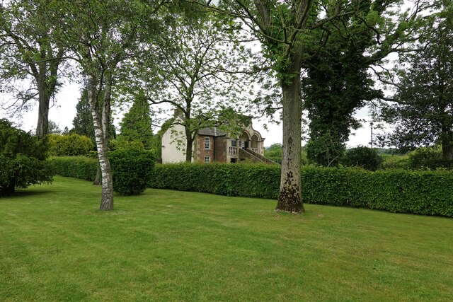
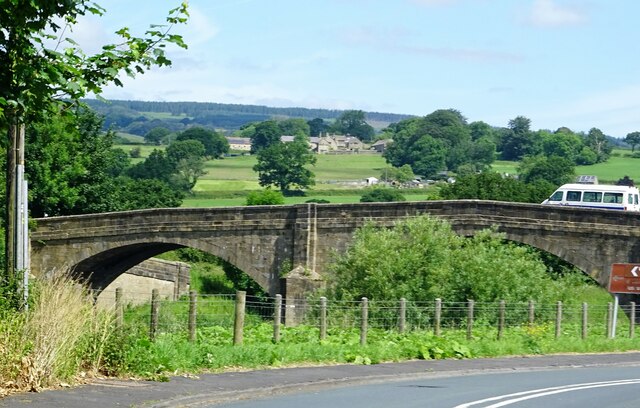
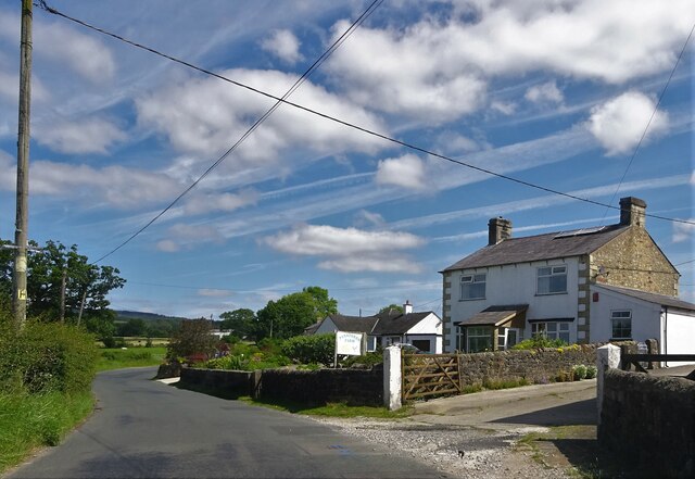
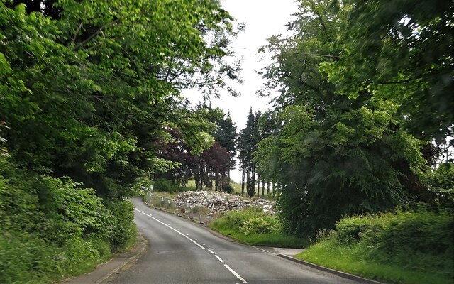
Duddel Wood Images

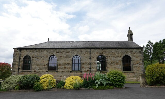
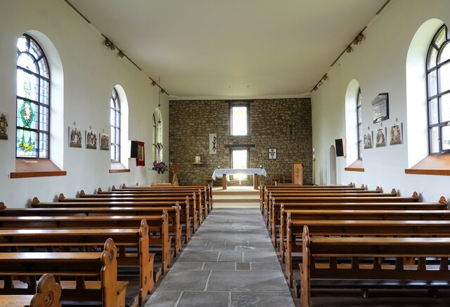
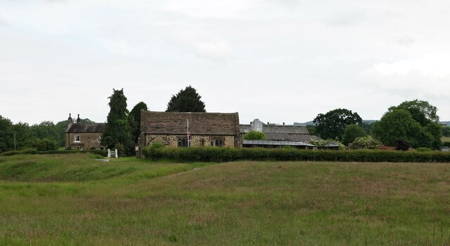
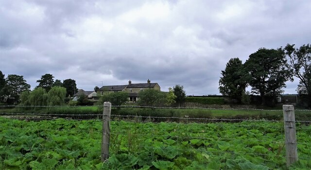
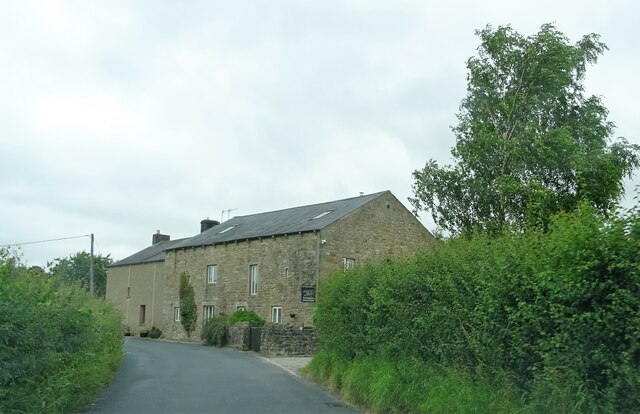
Images are sourced within 2km of 53.82985/-2.520594 or Grid Reference SD6537. Thanks to Geograph Open Source API. All images are credited.

New Hotel, Blackburn Road Appears to have been the former barn to Stone House, converted to a hotel and now residential
New Hotel, Blackburn Road
Appears to have been the former barn to Stone House, converted to a hotel and now residential
Ribchester Road Approaching Ribchester Bridge which crosses the River Ribble.
Ribchester Road
Approaching Ribchester Bridge which crosses the River Ribble.
Little Town On Blackburn Road east of Ribchester.
Little Town
On Blackburn Road east of Ribchester.
Entering Ribchester Stone Bridge carries the road over three brooks - Stydd, Duddel and Boyce's - which confluence metres to the north, and the combined stream then empties into the River Ribble a few metres to the south.
Entering Ribchester
Stone Bridge carries the road over three brooks - Stydd, Duddel and Boyce's - which confluence metres to the north, and the combined stream then empties into the River Ribble a few metres to the south.
White doves The colony nests around the R.C. church of Ss. Peter and Paul in Stydd.
White doves
The colony nests around the R.C. church of Ss. Peter and Paul in Stydd.
The church of St. Saviour Dating from the late 12th century, the church is Grade I listed.
The church of St. Saviour
Dating from the late 12th century, the church is Grade I listed.
Footbridge in the fields The bridge crosses Stydd Brook.
Footbridge in the fields
The bridge crosses Stydd Brook.
River Ribble Looking north east from Ribchester Bridge.
River Ribble
Looking north east from Ribchester Bridge.
Ss. Peter and Paul R.C. Church A grade II listed barn church in Stydd, built in 1789.
Ss. Peter and Paul R.C. Church
A grade II listed barn church in Stydd, built in 1789.
Ss. Peter and Paul R.C. Church A grade II listed barn church built in 1789.
Ss. Peter and Paul R.C. Church
A grade II listed barn church built in 1789.
Stydd Lane Leading from Stydd Manor, the lane joins Blackburn Road at the eastern edge of Ribchester.
Stydd Lane
Leading from Stydd Manor, the lane joins Blackburn Road at the eastern edge of Ribchester.
St. Saviour's Church and Stydd Manor The church is grade I listed, built in late C12th with later alterations.
St. Saviour's Church and Stydd Manor
The church is grade I listed, built in late C12th with later alterations.
Almshouses at Stydd Founded under the will of John Shireburne, who died in 1726, the building is grade II* listed.
Almshouses at Stydd
Founded under the will of John Shireburne, who died in 1726, the building is grade II* listed.
Ribchester Bridge Carrying the B6245 over the River Ribble.
Ribchester Bridge
Carrying the B6245 over the River Ribble.
Panstones Farm On Gallows Lane.
Panstones Farm
On Gallows Lane.
Remains of the Punch Bowl The pub on Longridge Road outside Hurst Green was a grade II listed building. It was demolished without notification to or permission from the relevant authority, who have now ordered the owners to rebuild the structure.
Remains of the Punch Bowl
The pub on Longridge Road outside Hurst Green was a grade II listed building. It was demolished without notification to or permission from the relevant authority, who have now ordered the owners to rebuild the structure.
Houses in Little Town The rear of the houses on Blackburn Road from Barker Brow across the River Ribble, near Ribchester Bridge.
Houses in Little Town
The rear of the houses on Blackburn Road from Barker Brow across the River Ribble, near Ribchester Bridge.
Ease Barn Farm On Gallows Lane near Ribchester.
Ease Barn Farm
On Gallows Lane near Ribchester.
Show me another place!

Duddel Wood is located at Grid Ref: SD6537 (Lat: 53.82985, Lng: -2.520594)

Administrative County: Lancashire

District: Ribble Valley

Police Authority: Lancashire

What 3 Words

///stale.fire.built. Near Longridge, Lancashire

Related Wikis

Dutton, Lancashire

Dutton is a civil parish in the Borough of Ribble Valley in the English county of Lancashire, its principal settlement being the hamlet of Lower Dutton...

Stydd

The manor of Stydd is in the county of Lancashire. It is situated on the north eastern edge of the village of Ribchester. It has three notable buildings...

St Saviour's Church, Stydd

St Saviour's Church is an Anglican chapel in Stydd, a hamlet near Ribchester in Lancashire, England. It has been designated a Grade I listed building by...

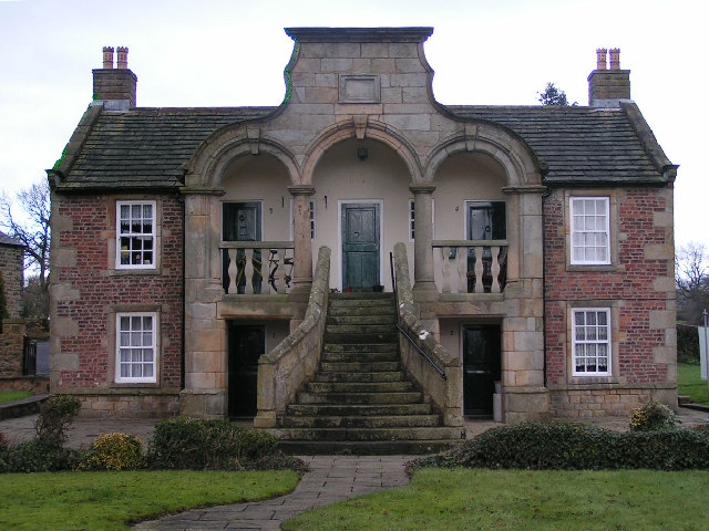
Almshouse, Ribchester

Ribchester Almshouse is a building on Stydd Lane in the English manor of Stydd, near Ribchester, Lancashire. It dates to 1728 and is a Grade II* listed...

Nearby Amenities

Located within 500m of 53.82985,-2.520594
Dutton
Place: hamlet
Source: npe
Lat/Long: 53.8313858/-2.5155717
cross remains
Historic: wayside_cross
Source: OS 1:25k
Lat/Long: 53.8307765/-2.525332
Power: pole
Lat/Long: 53.8270587/-2.5160441
Power: pole
Lat/Long: 53.8287463/-2.5165529
Power: pole
Lat/Long: 53.8293892/-2.5167177
Power: pole
Lat/Long: 53.8299883/-2.5168921
Power: pole
Lat/Long: 53.8307172/-2.5170999
Power: pole
Lat/Long: 53.8314855/-2.5173006
Power: pole
Lat/Long: 53.8321269/-2.5168659
Power: pole
Lat/Long: 53.832867/-2.5172576
Power: pole
Lat/Long: 53.8335465/-2.517592
Ford: yes
Lat/Long: 53.8286927/-2.5197657
The data included in this document is from www.openstreetmap.org. The data is made available under ODbL.

Have you been to Duddel Wood?

Leave your review of Duddel Wood below (or comments, questions and feedback).