The Rookery

Wood, Forest in Shropshire

England

The Rookery

Farmland at Harebutt Bank
Farmland at Harebutt Bank Credit: Richard Law

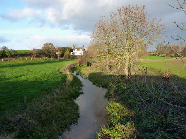
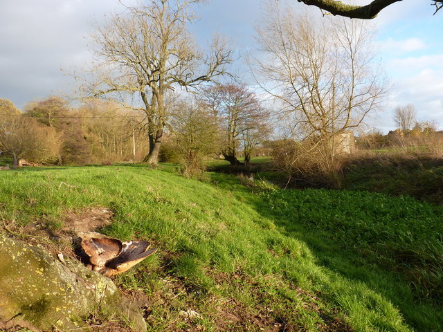
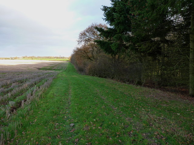
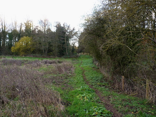
The Rookery is a picturesque woodland located in Shropshire, England. Covering an area of approximately 100 acres, it is known for its abundant wildlife, ancient trees, and tranquil atmosphere.

Situated in a rural setting, The Rookery is characterized by its dense forest of various tree species, including oak, beech, and ash. These trees have been growing for centuries, with some estimated to be over 200 years old. Their towering canopies provide a shaded haven for numerous bird species, such as rooks, woodpeckers, and owls, which inspired the name of the woodland.

The Rookery is also home to a diverse range of flora and fauna. Wildflowers carpet the forest floor during spring, creating a vibrant display of colors. The undergrowth supports a rich variety of ferns, mosses, and fungi, adding to the enchanting ambiance of the woodland.

The woodland offers several walking trails, allowing visitors to explore its natural beauty at their own pace. These paths wind through the trees, offering glimpses of hidden clearings and babbling brooks. It is a popular spot for nature lovers, hikers, and photographers, seeking to capture the essence of the Shropshire countryside.

For those looking to immerse themselves in the peacefulness of nature, The Rookery provides a secluded escape from the hustle and bustle of everyday life. With its untouched beauty and diverse ecosystem, this woodland is a true gem in the heart of Shropshire.

If you have any feedback on the listing, please let us know in the comments section below.
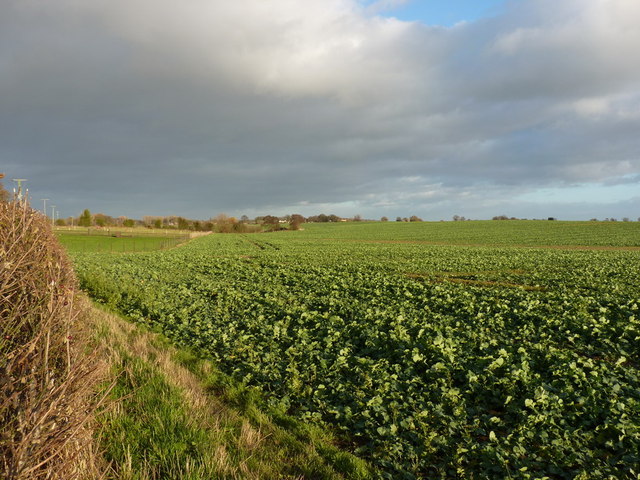
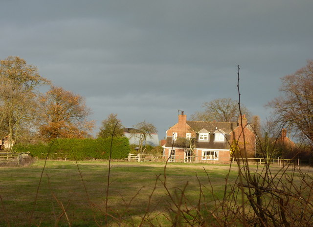
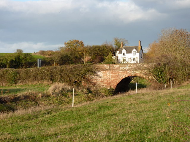
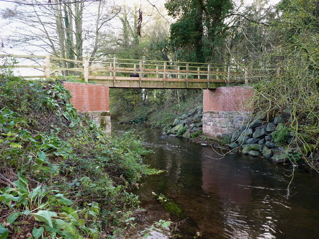
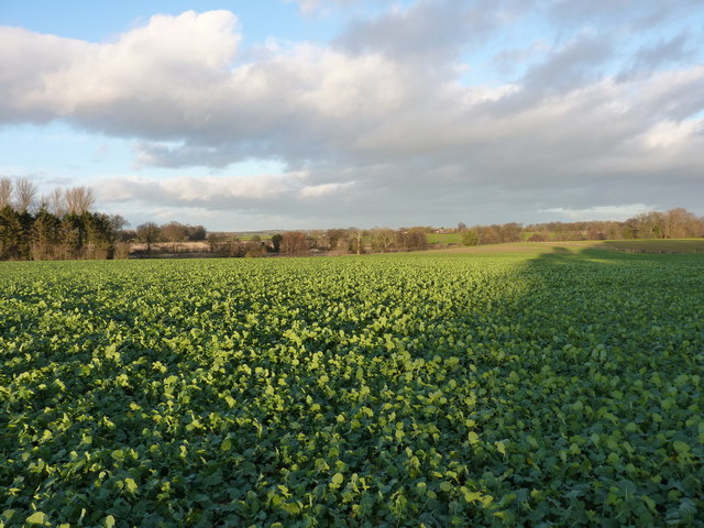
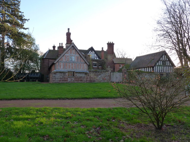
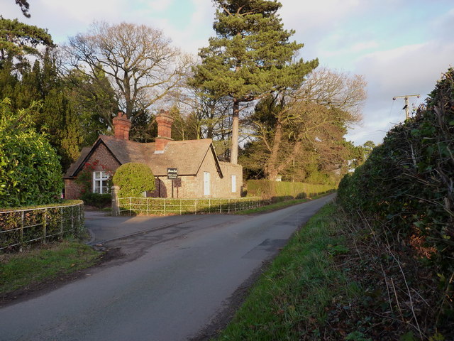
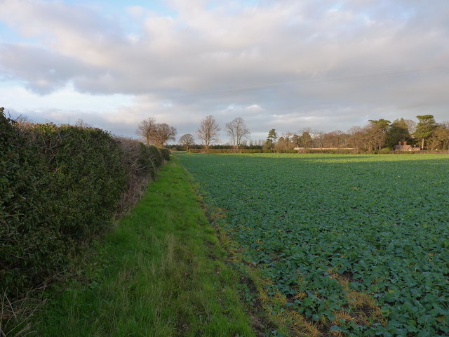
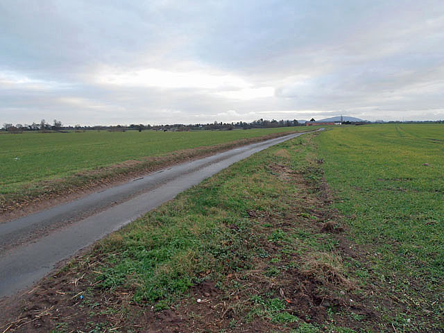
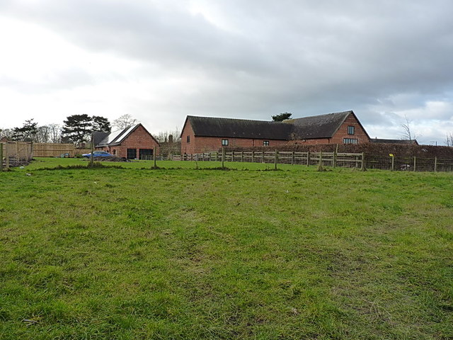
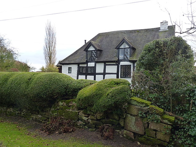
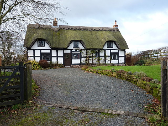
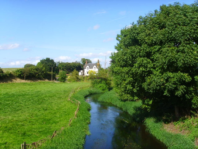
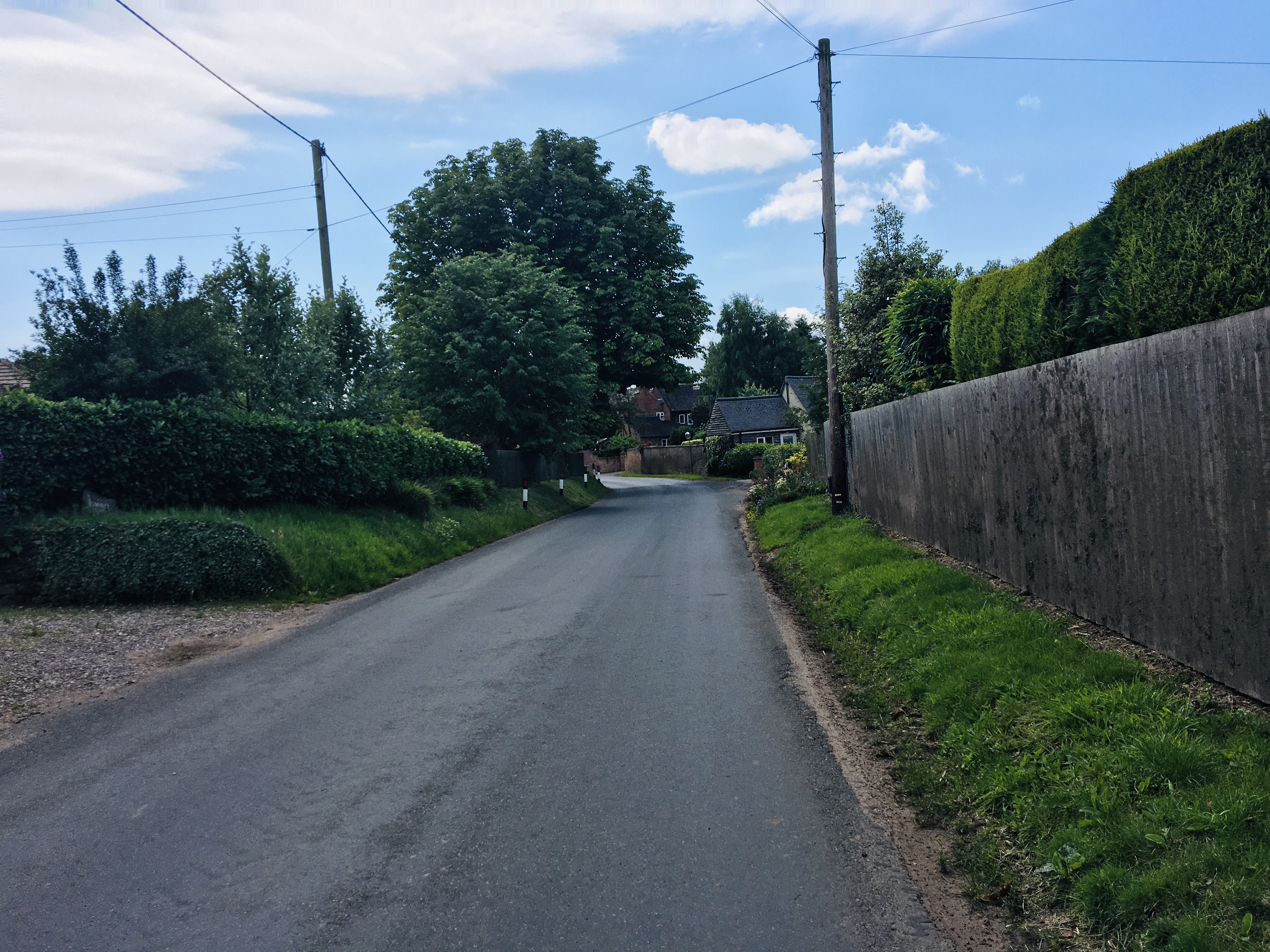
The Rookery Images

Images are sourced within 2km of 52.791527/-2.5080772 or Grid Reference SJ6521. Thanks to Geograph Open Source API. All images are credited.

Farmland at Harebutt Bank
Harebutt farm The main house at the intriguingly-named Harebutt Farm
Harebutt farm
The main house at the intriguingly-named Harebutt Farm
Bolas bridge - over the River Meese The bridge is a Grade II listed structure from 1795, with a benchmark cut into one of the parapet stones on the western side of the road.
Bolas bridge - over the River Meese
The bridge is a Grade II listed structure from 1795, with a benchmark cut into one of the parapet stones on the western side of the road.
Cut benchmark - Bolas bridge Not a great picture; the light wasn't ideal, but there's a cut mark in the main square sandstone block in the centre of the shot.
Cut benchmark - Bolas bridge
Not a great picture; the light wasn't ideal, but there's a cut mark in the main square sandstone block in the centre of the shot.
The Meese upstream of Bolas bridge
The Meese valley near Great Bolas A large bracket fungus growing out of the bole of a tree provides the foreground in a low shot of the river valley.
The Meese valley near Great Bolas
A large bracket fungus growing out of the bole of a tree provides the foreground in a low shot of the river valley.
Footpath alongside a copse near Great Bolas
Path to the footbridge over the Meese
Spangly new bridge over the River Meese
Crops in fields north of Meeson Hall
Meeson Hall from the rear A Grade II listed building, dating from 1640, but modernised over the years.
<span class="nowrap"><a title="http://www.britishlistedbuildings.co.uk/en-361873-meeson-hall-including-adjoining-timber-f" rel="nofollow ugc noopener" href="http://www.britishlistedbuildings.co.uk/en-361873-meeson-hall-including-adjoining-timber-f">Link</a><img style="margin-left:2px;" alt="External link" title="External link - shift click to open in new window" src="https://s1.geograph.org.uk/img/external.png" width="10" height="10"/></span>
Meeson Hall from the rear
A Grade II listed building, dating from 1640, but modernised over the years. LinkExternal link
West Lodge entrance to Meeson Hall
Footpath between Meeson Hall and Meeson Heath
Cottages in Meeson Heath
Flat land and a lane The hill in the distance is the Wrekin - just south of Wellington, the A5 and the M54.
Flat land and a lane
The hill in the distance is the Wrekin - just south of Wellington, the A5 and the M54.
Converted barns, Cherrington Manor Converted to residential use, and in one case, now sporting a fair area of PV panels.
Converted barns, Cherrington Manor
Converted to residential use, and in one case, now sporting a fair area of PV panels.
Longacre cottage A well-kept half-timbered cottage in Cherrington, constructed in a cruck-frame method like several others in the village.
Longacre cottage
A well-kept half-timbered cottage in Cherrington, constructed in a cruck-frame method like several others in the village.
8 - 9  Cruck Cottages A pair of cruck-constructed cottages, now converted to a single property.
8 - 9 Cruck Cottages
A pair of cruck-constructed cottages, now converted to a single property.
Show me another place!

The Rookery is located at Grid Ref: SJ6521 (Lat: 52.791527, Lng: -2.5080772)

Unitary Authority: Telford and Wrekin

Police Authority: West Mercia

What 3 Words

///retrieves.jiggle.triangles. Near Eyton upon the Weald Moors, Shropshire

Nearby Locations

The Rookery

Related Wikis

Great Bolas

Great Bolas (), or Bolas Magna, is a village in the Telford and Wrekin borough of Shropshire, England, It is situated north-west of Newport, and about...

Eaton upon Tern

Eaton upon Tern is a small village, located in the parish of Stoke upon Tern in Northern Shropshire, England. The parish also includes the settlements...

RAF Peplow

Royal Air Force Peplow, or more simply RAF Peplow, is a former Royal Air Force located, located 7 miles (11 km) South of Market Drayton in Shropshire,...

Cherrington

Cherrington is a village and former civil parish, now in the parish of Tibberton and Cherrington, in the Telford and Wrekin district, in the ceremonial...

Nearby Amenities

Located within 500m of 52.791527,-2.5080772
Burleigh Farm
Place: farm
Lat/Long: 52.7909382/-2.5021951
Give Way
Direction: backward
Lat/Long: 52.7898536/-2.5042519
The data included in this document is from www.openstreetmap.org. The data is made available under ODbL.

Have you been to The Rookery?

Leave your review of The Rookery below (or comments, questions and feedback).