Potter's Plantation

Wood, Forest in Lancashire

England

Potter's Plantation

A view from Tockholes Looking towards Edge Hill.
A view from Tockholes Credit: philandju

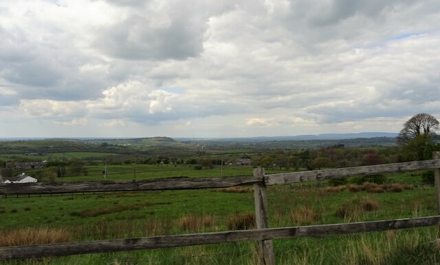
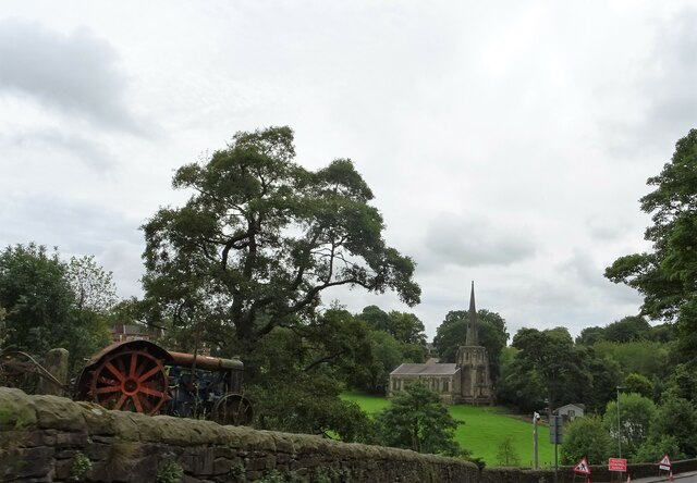
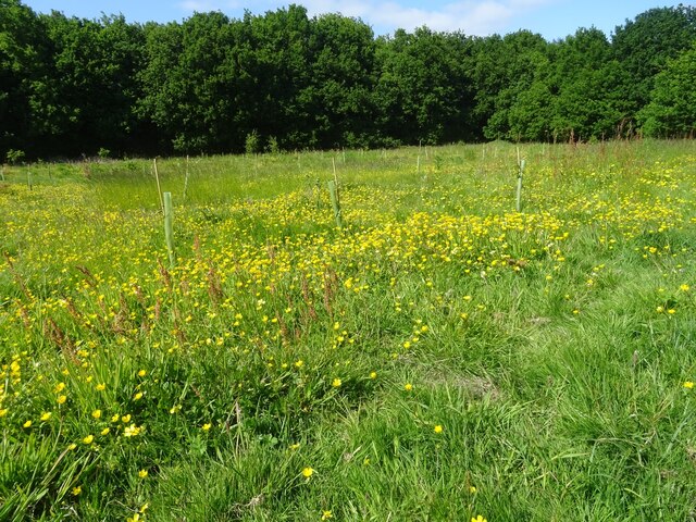
Potter's Plantation is a picturesque woodland located in Lancashire, England. Covering an area of approximately 100 acres, it is renowned for its dense forest and diverse plant species. The plantation is situated near the town of Potter's Wood, which is known for its rich history and natural beauty.

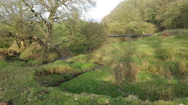
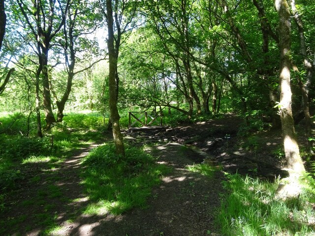
The woodland is characterized by its towering trees, including oak, beech, and pine, which create a majestic canopy overhead. The forest floor is covered in a thick layer of moss and ferns, providing a lush and vibrant ecosystem for various wildlife species. The plantation is home to a wide range of animals, such as deer, foxes, and numerous bird species, making it a popular destination for nature enthusiasts and birdwatchers.

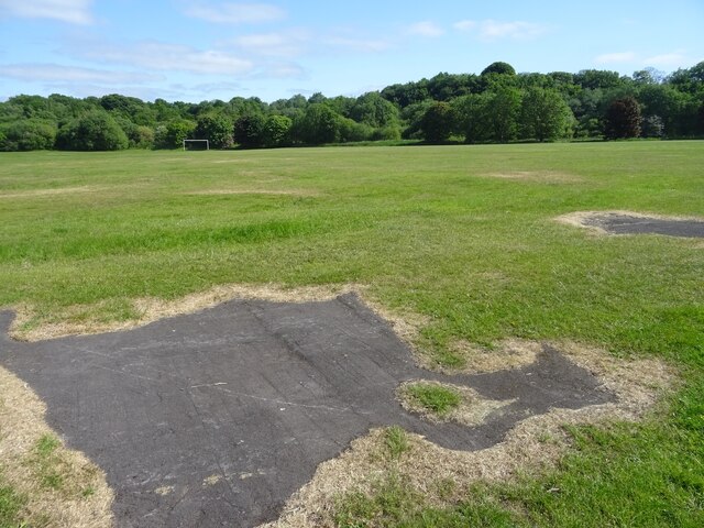
Potter's Plantation offers various recreational activities for visitors to enjoy. There are well-maintained walking trails that wind through the woodland, allowing visitors to explore the diverse flora and fauna at their own pace. The plantation also has designated picnic areas and benches, where visitors can relax and take in the tranquil surroundings.

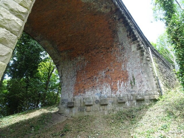
In addition to its natural beauty, Potter's Plantation has historical significance. The plantation dates back to the 19th century when it was used for timber production. The remnants of old logging equipment can still be found scattered throughout the woodland, adding to its charm and historical appeal.

Overall, Potter's Plantation is a haven for nature lovers and history enthusiasts alike. Its stunning forest, abundant wildlife, and peaceful ambiance make it a must-visit destination for anyone seeking a tranquil escape in Lancashire.

If you have any feedback on the listing, please let us know in the comments section below.

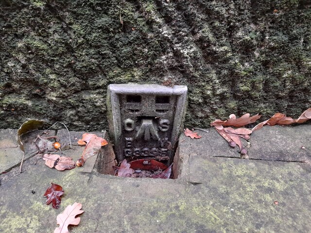
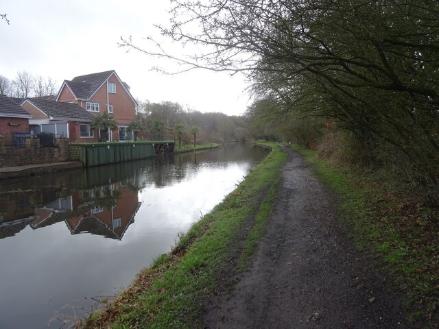
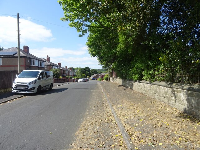
Potter's Plantation Images

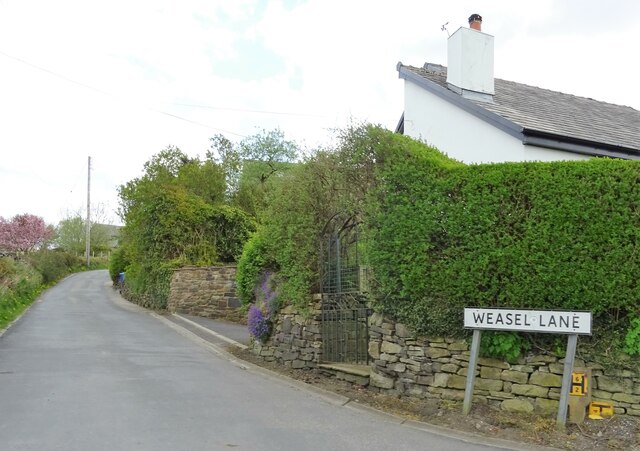
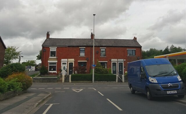
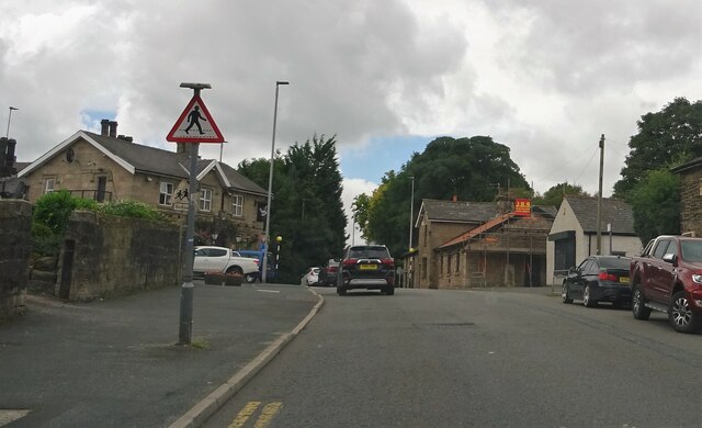
Images are sourced within 2km of 53.717568/-2.5190391 or Grid Reference SD6524. Thanks to Geograph Open Source API. All images are credited.

A view from Tockholes Looking towards Edge Hill.
A view from Tockholes
Looking towards Edge Hill.
Weasel Lane At Tockholes.
Weasel Lane
At Tockholes.
Preston Old Road In Feniscowles.
Preston Old Road
In Feniscowles.
Park Farm Road In Feniscowles.
Park Farm Road
In Feniscowles.
Preston Old Road From Park Farm Road in Feniscowles.
Preston Old Road
From Park Farm Road in Feniscowles.
Preston Old Road In Feniscowles.
Preston Old Road
In Feniscowles.
Church of Immanuel A C. of E. church at Feniscowles. The building is Grade II listed. The old tractor in the left foreground is currently being used as a garden ornament.
Church of Immanuel
A C. of E. church at Feniscowles. The building is Grade II listed. The old tractor in the left foreground is currently being used as a garden ornament.
Old Milestone, A674, Preston Old Road, Blackburn The milestone is located against the wall at the back of the pavement, outside Mambo’s Tanning Centre, no. 434, on the north west side of the road. Parish of Livesey (Blackburn with Darwen District). Carved stone post, erected by the Bolton & Blackburn turnpike trust (Livesey branch) in the 19th century. 

Inscription reads:-
9 MILES / TO PRESTON / 2 TO / BLACKBURN 

Milestone Society National ID: LA_PSBB09
Old Milestone, A674, Preston Old Road, Blackburn
The milestone is located against the wall at the back of the pavement, outside Mambo’s Tanning Centre, no. 434, on the north west side of the road. Parish of Livesey (Blackburn with Darwen District). Carved stone post, erected by the Bolton & Blackburn turnpike trust (Livesey branch) in the 19th century. Inscription reads:- 9 MILES / TO PRESTON / 2 TO / BLACKBURN Milestone Society National ID: LA_PSBB09
OS Flush Bracket Flush Bracket G3395: Feniscowles.
OS Flush Bracket
Flush Bracket G3395: Feniscowles.
The Streams, Feniscowles A number of streams emerge and combine to the west of the Three Arches in Feniscowles, draining areas around Horden Farm and the new Greenfields estate.
Here is one cutting through glacial till in a field.
The Streams, Feniscowles
A number of streams emerge and combine to the west of the Three Arches in Feniscowles, draining areas around Horden Farm and the new Greenfields estate. Here is one cutting through glacial till in a field.
Canal towpath at Feniscowles The towpath on the Leeds & Liverpool Canal heading out of Feniscowles towards Stanworth (eventually).
Canal towpath at Feniscowles
The towpath on the Leeds & Liverpool Canal heading out of Feniscowles towards Stanworth (eventually).
Woodlands Avenue, Cherry Tree Looking up Woodlands Avenue at the side of Feng Shui House.
Woodlands Avenue, Cherry Tree
Looking up Woodlands Avenue at the side of Feng Shui House.
The erstwhile Top Pitch The site of the former "Top Pitch" in Pleasington Playing Fields, once "home" to the likes of Cherry Tree Old Boys and Pleasington, has been disused for many years, and is now the site of tree planting efforts.
The erstwhile Top Pitch
The site of the former "Top Pitch" in Pleasington Playing Fields, once "home" to the likes of Cherry Tree Old Boys and Pleasington, has been disused for many years, and is now the site of tree planting efforts.
Pleasington Fields The concrete in the foreground may be associated with military activity during the Second World War, though much of the land near the River Darwen on the southwestern side of Pleasington Fields is the result of landfill. "Made ground," to give it its geological description.
Pleasington Fields
The concrete in the foreground may be associated with military activity during the Second World War, though much of the land near the River Darwen on the southwestern side of Pleasington Fields is the result of landfill. "Made ground," to give it its geological description.
New footbridge in Pleasington Fields A stream running from the railway has recently been graced by a new footbridge. The area south of here, upstream, can tend to be very boggy, so this is a much-needed amenity.
New footbridge in Pleasington Fields
A stream running from the railway has recently been graced by a new footbridge. The area south of here, upstream, can tend to be very boggy, so this is a much-needed amenity.
The Three Arches, Feniscowles A close look under the northernmost arch of the disused viaduct known locally as the Three Arches.
The bridge formerly carried the Lancashire Union Railway, built in the latter part of the 1860s to provide a direct connection between Blackburn and the rest of the East Lancashire cotton towns to sources of coal in and around Chorley and Wigan.
The line was eventually closed in January 1966, though the section between Cherry Tree and Feniscowles survived until 1968.
There's a good overview on the White Coppice, Anglezarke & Rivington website (exceptional local resource) at <span class="nowrap"><a title="http://www.white-coppice.co.uk/chorley_blackburn.htm" rel="nofollow ugc noopener" href="http://www.white-coppice.co.uk/chorley_blackburn.htm">Link</a><img style="margin-left:2px;" alt="External link" title="External link - shift click to open in new window" src="https://s1.geograph.org.uk/img/external.png" width="10" height="10"/></span>.
The Three Arches, Feniscowles
A close look under the northernmost arch of the disused viaduct known locally as the Three Arches. The bridge formerly carried the Lancashire Union Railway, built in the latter part of the 1860s to provide a direct connection between Blackburn and the rest of the East Lancashire cotton towns to sources of coal in and around Chorley and Wigan. The line was eventually closed in January 1966, though the section between Cherry Tree and Feniscowles survived until 1968. There's a good overview on the White Coppice, Anglezarke & Rivington website (exceptional local resource) at LinkExternal link.
Preston Old Road, Feniscowles Looking WSW along Preston Old Road towards Feniscowles village with the signage of the Three Arches petrol station in the foreground.
One day people will look at this with surprise at how cheap petrol was in 2023!
Preston Old Road, Feniscowles
Looking WSW along Preston Old Road towards Feniscowles village with the signage of the Three Arches petrol station in the foreground. One day people will look at this with surprise at how cheap petrol was in 2023!
East Street, Feniscowles Classic Accrington brick terraced houses. Lovely old sign on the right hand side too (sadly not legible in the image).
East Street, Feniscowles
Classic Accrington brick terraced houses. Lovely old sign on the right hand side too (sadly not legible in the image).
Show me another place!

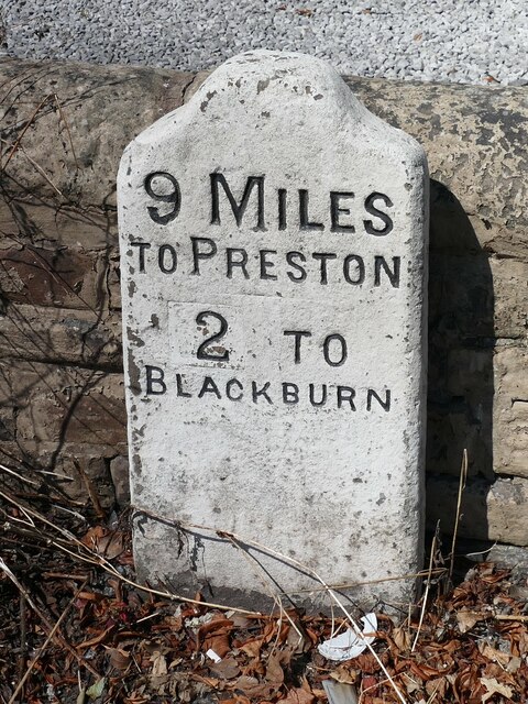
Potter's Plantation is located at Grid Ref: SD6524 (Lat: 53.717568, Lng: -2.5190391)

Unitary Authority: Blackburn with Darwen

Police Authority: Lancashire

What 3 Words

///values.money.foster. Near Blackburn, Lancashire

Related Wikis

Livesey

Livesey is a civil parish in the unitary borough of Blackburn with Darwen, in the ceremonial county of Lancashire, England. The population of the civil...

Feniscowles railway station

Feniscowles railway station was a railway station that served the village of Feniscowles, in Blackburn with Darwen in Lancashire, England. == History... ==

St Bede's Roman Catholic High School, Blackburn

St Bede's RC High School is a coeducational Roman Catholic secondary school located in Blackburn in the English county of Lancashire.It is a voluntary...

Tockholes

Tockholes is a village and civil parish which forms part of the Blackburn with Darwen unitary authority in the English county of Lancashire, England. Tockholes...

Nearby Amenities

Located within 500m of 53.717568,-2.5190391
Livesey
Note: place is called Livsey on npe - old or incorrect spelling?
Place: suburb
Source: npe and seventh series (1953)
Lat/Long: 53.7181789/-2.5261304
Mini Roundabout
Lat/Long: 53.7188476/-2.5123563
Barrier: cattle_grid
Foot: yes
Lat/Long: 53.7187869/-2.5122583
Barrier: stile
Foot: yes
Material: stone
Stile: squeezer
Lat/Long: 53.7188507/-2.5253621
Barrier: cattle_grid
Foot: yes
Lat/Long: 53.720737/-2.5238426
Barrier: stile
Foot: yes
Lat/Long: 53.7210647/-2.523686
Power: tower
Lat/Long: 53.7173311/-2.513514
Power: tower
Lat/Long: 53.7161988/-2.5229059
The data included in this document is from www.openstreetmap.org. The data is made available under ODbL.

Have you been to Potter's Plantation?

Leave your review of Potter's Plantation below (or comments, questions and feedback).