Cliviger
Civil Parish in Lancashire Burnley
England
Cliviger
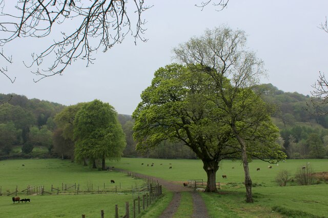
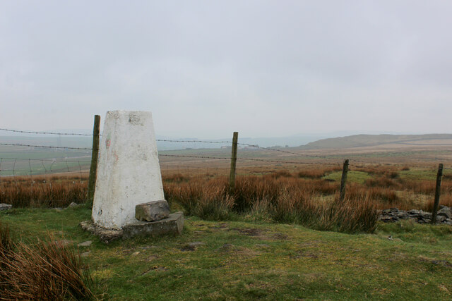
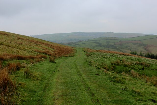
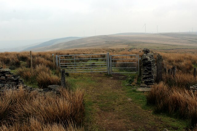
Cliviger is a civil parish located in the county of Lancashire, England. Situated in the borough of Burnley, it covers an area of approximately 6 square miles. The parish is located within the Pennine Hills, offering stunning views of the surrounding countryside.
The village of Cliviger itself is small and quaint, with a population of around 2,000 residents. It is located about 4 miles south of Burnley town center and is known for its rural charm and picturesque landscapes. The area is predominantly residential, with a mix of traditional stone cottages and more modern housing developments.
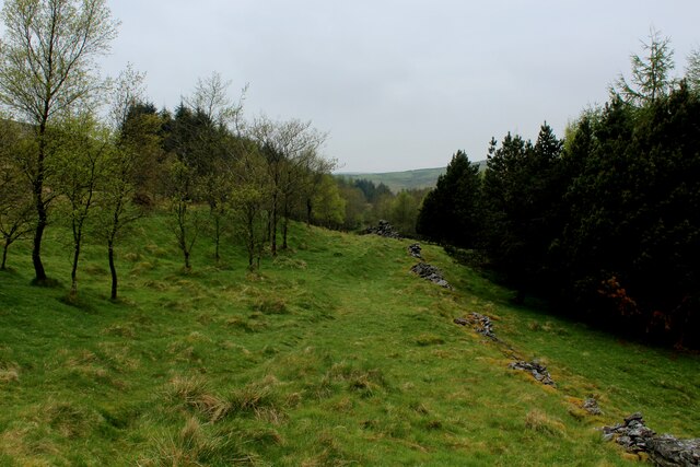
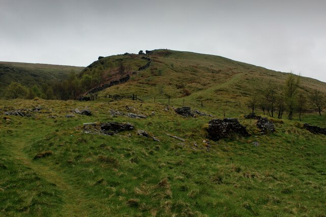
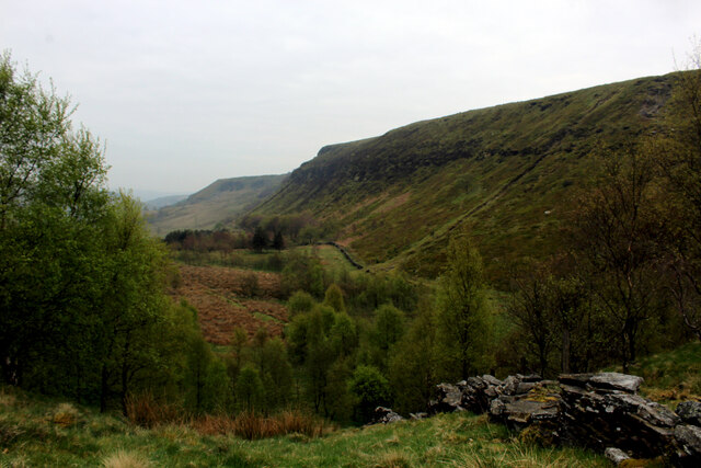
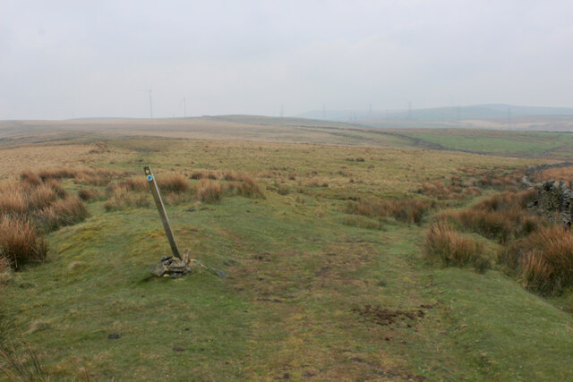
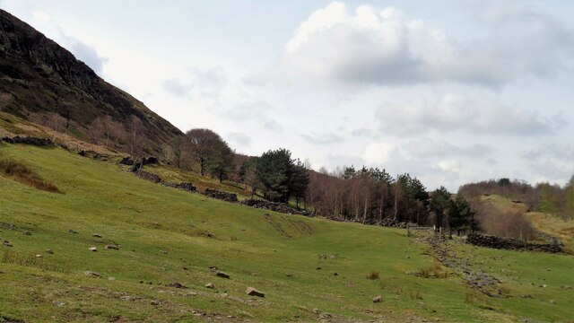
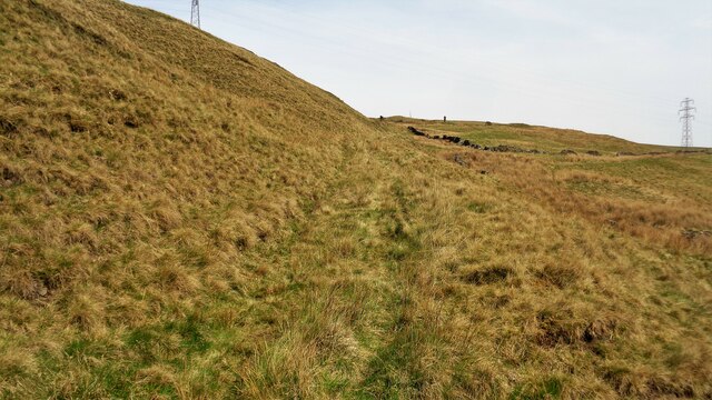
Cliviger is home to several notable landmarks and attractions. One of the most prominent is Cliviger Gorge, a beautiful natural feature that offers scenic walks and hiking trails. The area is also known for its historic churches, including St. John the Divine Church, which dates back to the 18th century.
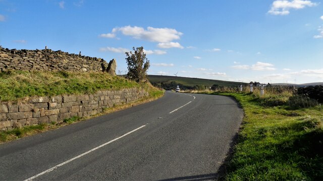
The parish is well-connected, with good transport links to nearby towns and cities. The A646 road runs through Cliviger, providing easy access to Burnley, Halifax, and the wider Lancashire area. There are also regular bus services that connect the village with surrounding areas.
Overall, Cliviger is a charming and peaceful rural parish, ideal for those seeking a tranquil lifestyle away from the hustle and bustle of city living. With its natural beauty, historic landmarks, and close-knit community, it offers a unique and idyllic place to call home.
If you have any feedback on the listing, please let us know in the comments section below.
Cliviger Images
Images are sourced within 2km of 53.753156/-2.187706 or Grid Reference SD8728. Thanks to Geograph Open Source API. All images are credited.
Cliviger is located at Grid Ref: SD8728 (Lat: 53.753156, Lng: -2.187706)
Administrative County: Lancashire
District: Burnley
Police Authority: Lancashire
What 3 Words
///ages.boost.email. Near Cornholme, West Yorkshire
Nearby Locations
Related Wikis

Church of St John the Divine, Holme Chapel
The Church of St John the Divine is in Burnley Road, Holme Chapel, a village in the civil parish of Cliviger, near Burnley, Lancashire, England. It is...

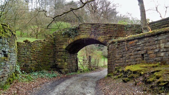
Holme Hall, Cliviger
Holme Hall (or The Holme) is a Grade II* listed manor house in Cliviger near Burnley, in Lancashire, England. The house dates back to at least the 15th...

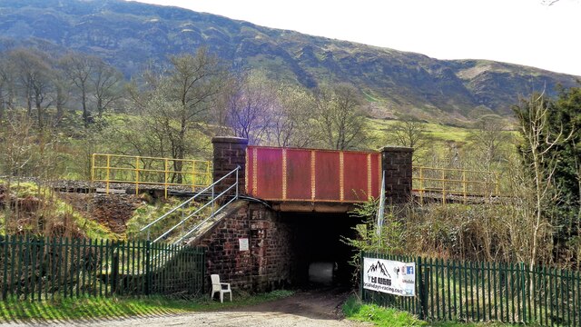
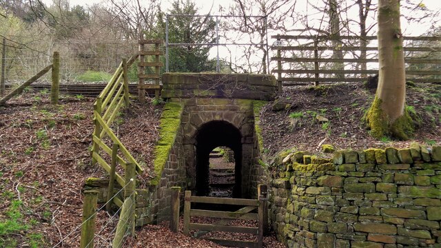
Holme railway station (Lancashire)
Holme railway station served Holme Chapel on the Copy Pit line. The station closed in July 1930 and the line now serves as a non-stop route between Hebden...

Cliviger
Cliviger is a civil parish in the Borough of Burnley, in Lancashire, England. It is situated to the southeast of Burnley, and northwest of Todmorden....

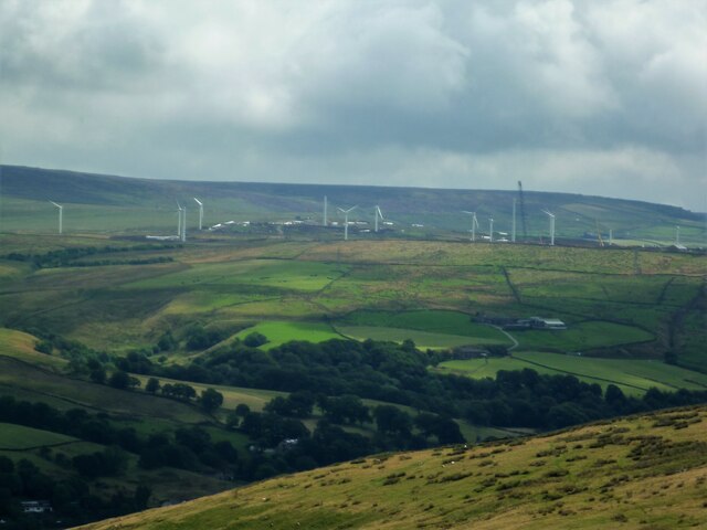
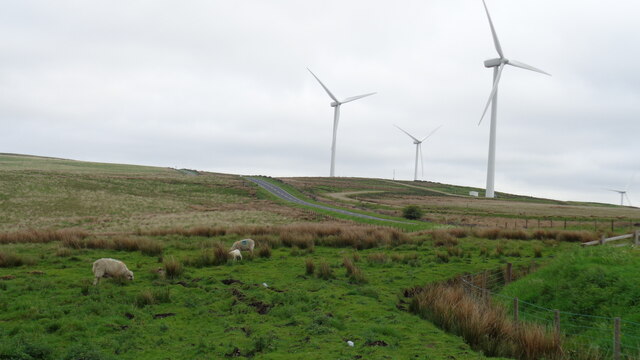
Coal Clough Wind Farm
Coal Clough Wind Farm is one of the oldest onshore wind farms in England. The wind farm, which was built for Scottish Power, produced electricity from...

Singing Ringing Tree (sculpture)
The Singing Ringing Tree is a wind powered sound sculpture resembling a tree set in the landscape of the Pennine hill range overlooking Burnley, in Lancashire...

Hurstwood
Hurstwood is a rural hamlet on the eastern outskirts of Burnley in Lancashire, England. It is in the civil parish of Worsthorne-with-Hurstwood and the...
Fother Royd Wood
Fother Royd Wood is a woodland in Lancashire, England, near Worsthorne. It covers a total area of 1.03 hectares (2.55 acres). It is owned and managed by...
Related Videos

23 October 2023
A671 passing vehicle with woman on horseback.


A Snowy Hike over Cliviger Gorge, Thieveley Pike & Frozen Waterfalls. Todmorden / Burnley
Cliviger Gorge is a high steep sided valley which was formed in the last Ice Age, and is on the boundary of Todmorden and ...
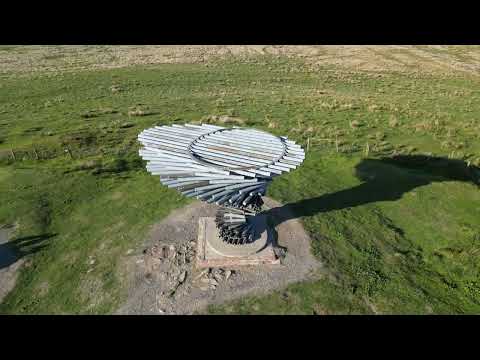
Singing Ringing Tree
The Singing Ringing Tree is located on the outskirts of Burnley with fantastic views.
Nearby Amenities
Located within 500m of 53.753156,-2.187706Have you been to Cliviger?
Leave your review of Cliviger below (or comments, questions and feedback).