Berril's Green Wood
Wood, Forest in Lancashire Burnley
England
Berril's Green Wood
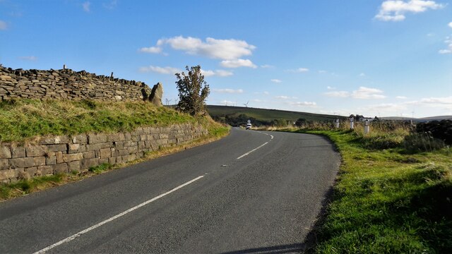
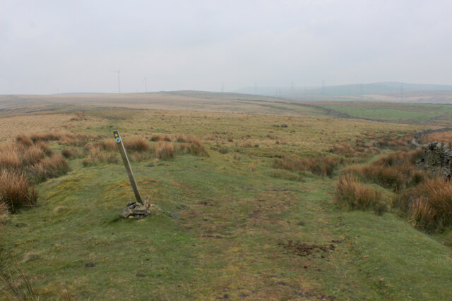
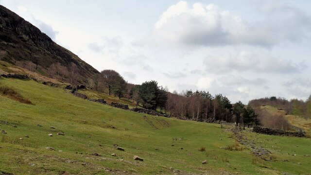
Berril's Green Wood is a picturesque forest located in the county of Lancashire, England. Spread across a vast area, this woodland is a haven for nature enthusiasts and a popular destination for hikers, walkers, and wildlife lovers alike.
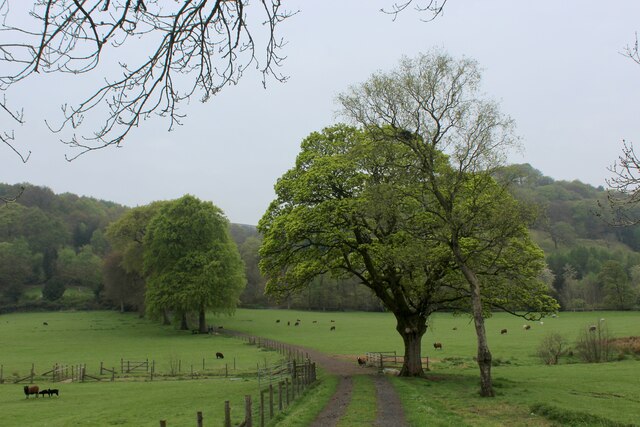
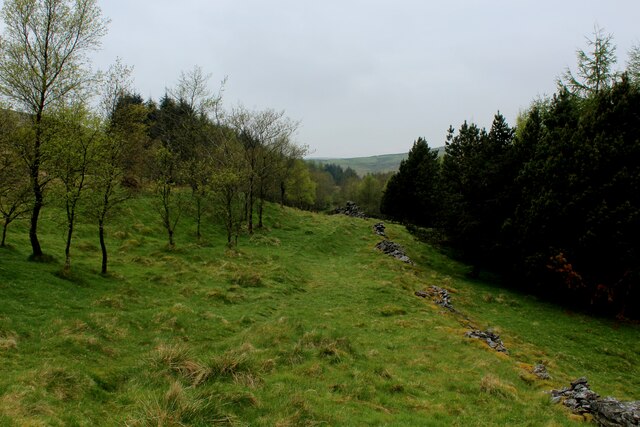
The forest is characterized by its dense green canopy of trees, mainly consisting of oak, beech, and birch. These tall, majestic trees create a serene and tranquil atmosphere, making it an ideal place for those seeking solace in nature. The forest floor is adorned with a rich carpet of moss, ferns, and wildflowers, further enhancing its natural beauty.
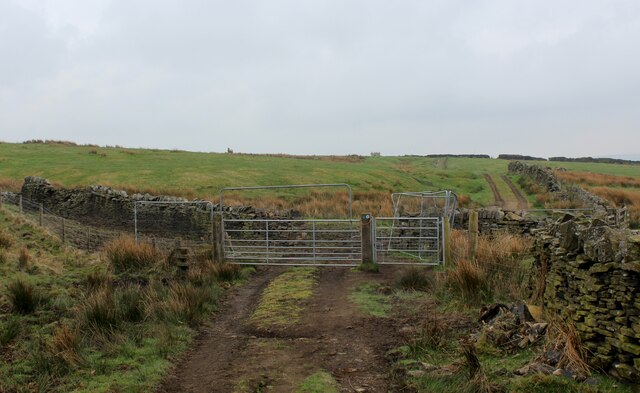
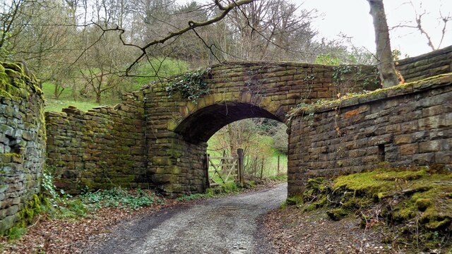
Berril's Green Wood is intersected by a network of well-maintained trails, allowing visitors to explore the forest at their own pace. These trails meander through the woodland, providing breathtaking views of the surrounding landscape and opportunities to spot a variety of wildlife. Birdwatchers can observe numerous species of birds, including woodpeckers, owls, and thrushes, while lucky visitors might catch a glimpse of squirrels, foxes, and deer.
The forest also boasts a diverse range of plant life, with an abundance of native flora. Bluebells and primroses bloom in the spring, creating a colorful spectacle, while in autumn, the forest is adorned with the vibrant hues of changing leaves.
Berril's Green Wood is a cherished natural gem in Lancashire, providing a sanctuary for both nature and people. Whether it's for a peaceful walk, a family outing, or a chance to reconnect with the great outdoors, this forest offers an immersive and enchanting experience for visitors of all ages.
If you have any feedback on the listing, please let us know in the comments section below.
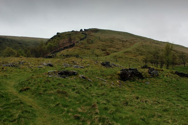
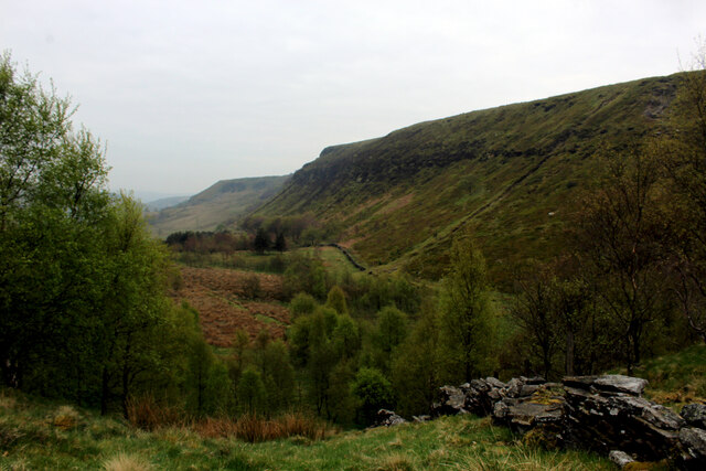
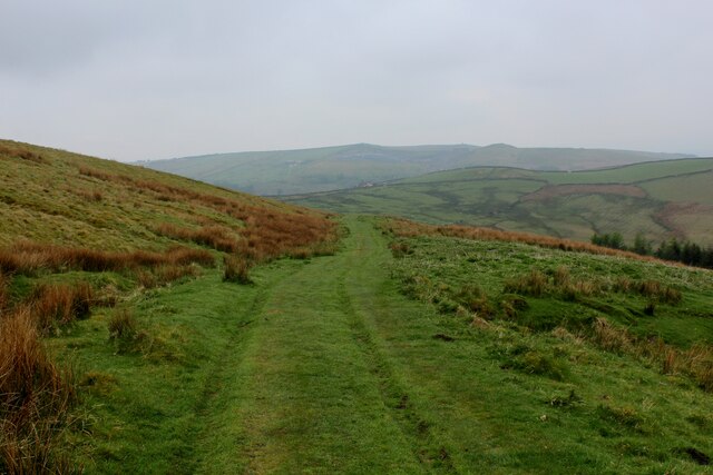
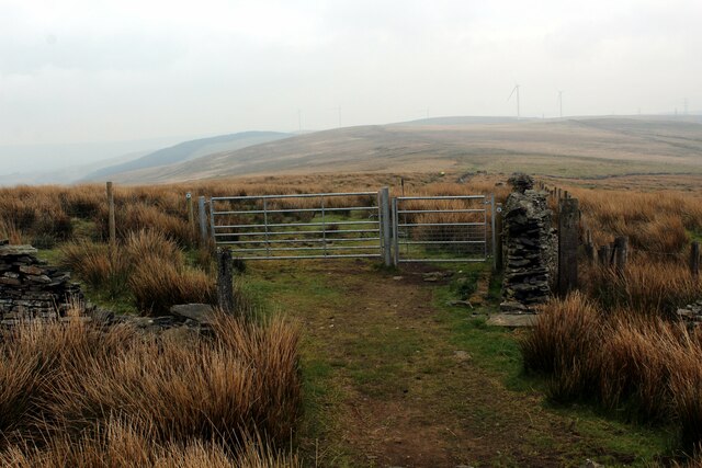
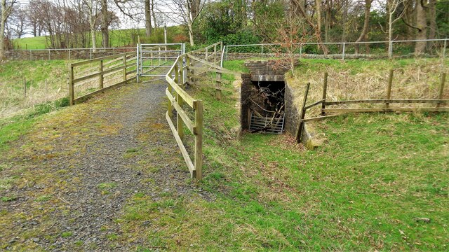
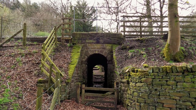
Berril's Green Wood Images
Images are sourced within 2km of 53.750584/-2.1847293 or Grid Reference SD8728. Thanks to Geograph Open Source API. All images are credited.
Berril's Green Wood is located at Grid Ref: SD8728 (Lat: 53.750584, Lng: -2.1847293)
Administrative County: Lancashire
District: Burnley
Police Authority: Lancashire
What 3 Words
///cowboy.bricks.driven. Near Cornholme, West Yorkshire
Nearby Locations
Related Wikis

Holme Hall, Cliviger
Holme Hall (or The Holme) is a Grade II* listed manor house in Cliviger near Burnley, in Lancashire, England. The house dates back to at least the 15th...

Church of St John the Divine, Holme Chapel
The Church of St John the Divine is in Burnley Road, Holme Chapel, a village in the civil parish of Cliviger, near Burnley, Lancashire, England. It is...

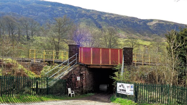
Holme railway station (Lancashire)
Holme railway station served Holme Chapel on the Copy Pit line. The station closed in July 1930 and the line now serves as a non-stop route between Hebden...

Cliviger
Cliviger is a civil parish in the Borough of Burnley, in Lancashire, England. It is situated to the southeast of Burnley, and northwest of Todmorden....

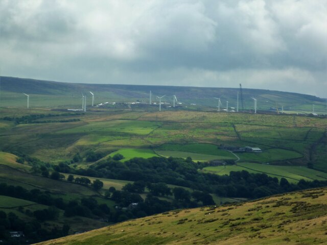
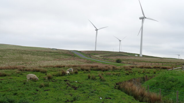
Coal Clough Wind Farm
Coal Clough Wind Farm is one of the oldest onshore wind farms in England. The wind farm, which was built for Scottish Power, produced electricity from...
Hill Top Colliery
The Hill Top Colliery in Sharneyford between Bacup and Todmorden was, until 2014, the last coal mine still in operation in Lancashire. == Foundation... ==

Portsmouth (Lancs) railway station
Portsmouth railway station was on the Copy Pit line and served the village of Portsmouth, which was part of Lancashire, before being incorporated into...

Singing Ringing Tree (sculpture)
The Singing Ringing Tree is a wind powered sound sculpture resembling a tree set in the landscape of the Pennine hill range overlooking Burnley, in Lancashire...
Related Videos

23 October 2023
A671 passing vehicle with woman on horseback.


A Snowy Hike over Cliviger Gorge, Thieveley Pike & Frozen Waterfalls. Todmorden / Burnley
Cliviger Gorge is a high steep sided valley which was formed in the last Ice Age, and is on the boundary of Todmorden and ...
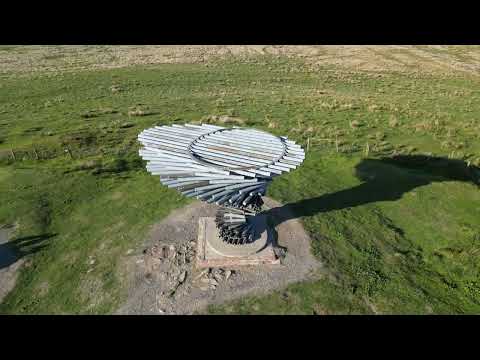
Singing Ringing Tree
The Singing Ringing Tree is located on the outskirts of Burnley with fantastic views.
Nearby Amenities
Located within 500m of 53.750584,-2.1847293Have you been to Berril's Green Wood?
Leave your review of Berril's Green Wood below (or comments, questions and feedback).