Green Clough Wood
Wood, Forest in Lancashire Burnley
England
Green Clough Wood
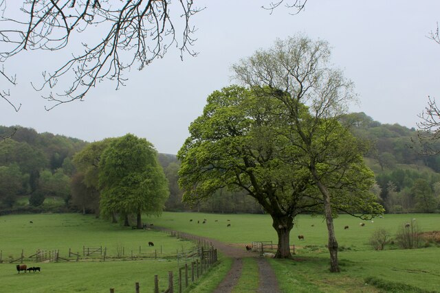
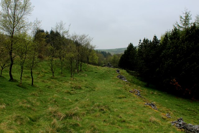
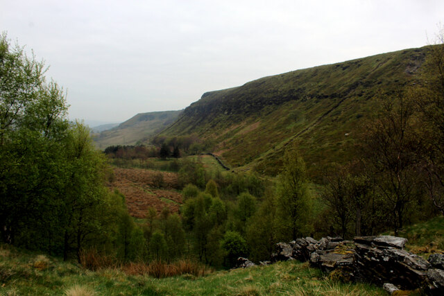
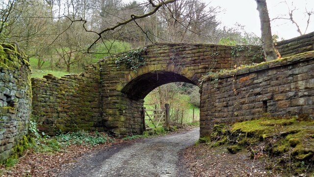
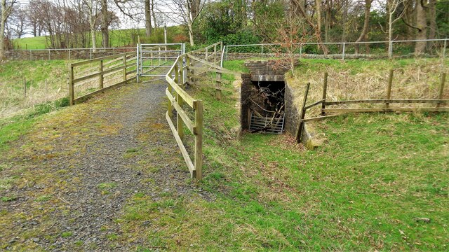
Green Clough Wood is a picturesque woodland located in Lancashire, England. Covering an area of approximately 100 acres, it is known for its natural beauty and diverse range of flora and fauna. The wood is situated in the valley of the River Irwell, near the town of Ramsbottom.
The woodland is predominantly made up of broadleaf trees, including oak, beech, and birch. These majestic trees create a dense canopy, providing shade and shelter for a variety of wildlife species. Bluebells, foxgloves, and wild garlic are just a few examples of the vibrant plant life that thrives here during the spring and summer months.
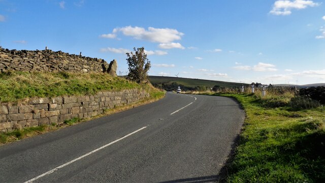
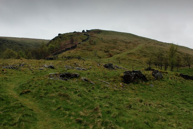
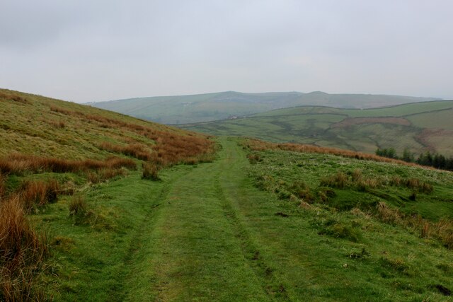
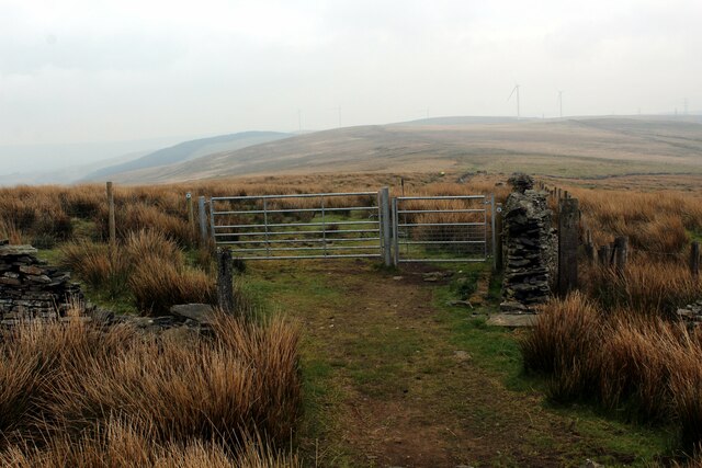
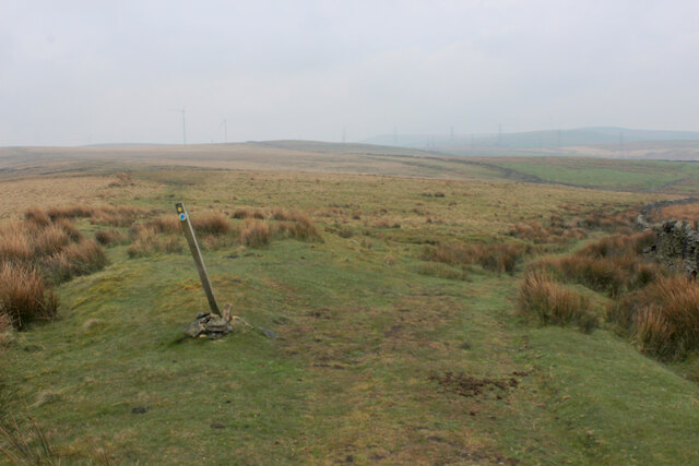
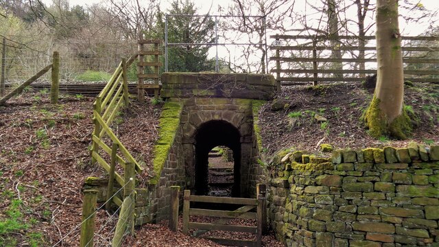
A network of well-maintained footpaths and trails traverse the wood, allowing visitors to explore its beauty at their own pace. The paths lead to scenic viewpoints, tranquil ponds, and babbling brooks, providing a peaceful and serene environment for nature enthusiasts and walkers alike.
Green Clough Wood is home to a rich array of wildlife. Birdwatchers can spot various species, including woodpeckers, owls, and kingfishers. Squirrels, badgers, and rabbits are commonly sighted, and if you're lucky, you may even catch a glimpse of a roe deer or a red fox.
Managed by a local conservation group, the woodland is carefully preserved to protect its natural habitat. Regular maintenance includes tree planting programs, clearing of invasive species, and monitoring of wildlife populations.
Green Clough Wood offers a sanctuary for both humans and wildlife, providing a peaceful escape from the hustle and bustle of everyday life. Its natural beauty and tranquility make it a must-visit destination for nature lovers and those seeking a connection with the great outdoors.
If you have any feedback on the listing, please let us know in the comments section below.
Green Clough Wood Images
Images are sourced within 2km of 53.753343/-2.1846808 or Grid Reference SD8728. Thanks to Geograph Open Source API. All images are credited.
Green Clough Wood is located at Grid Ref: SD8728 (Lat: 53.753343, Lng: -2.1846808)
Administrative County: Lancashire
District: Burnley
Police Authority: Lancashire
What 3 Words
///gosh.radar.neck. Near Cornholme, West Yorkshire
Nearby Locations
Related Wikis

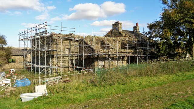
Holme Hall, Cliviger
Holme Hall (or The Holme) is a Grade II* listed manor house in Cliviger near Burnley, in Lancashire, England. The house dates back to at least the 15th...

Church of St John the Divine, Holme Chapel
The Church of St John the Divine is in Burnley Road, Holme Chapel, a village in the civil parish of Cliviger, near Burnley, Lancashire, England. It is...

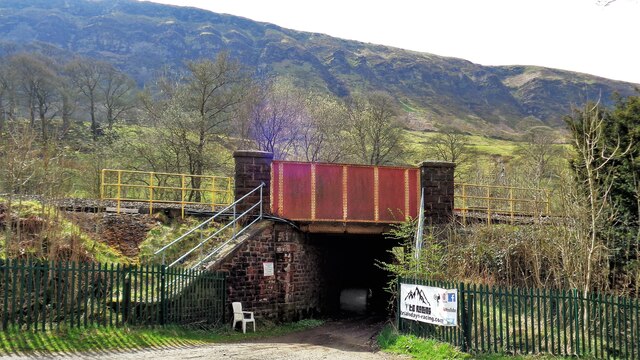
Holme railway station (Lancashire)
Holme railway station served Holme Chapel on the Copy Pit line. The station closed in July 1930 and the line now serves as a non-stop route between Hebden...

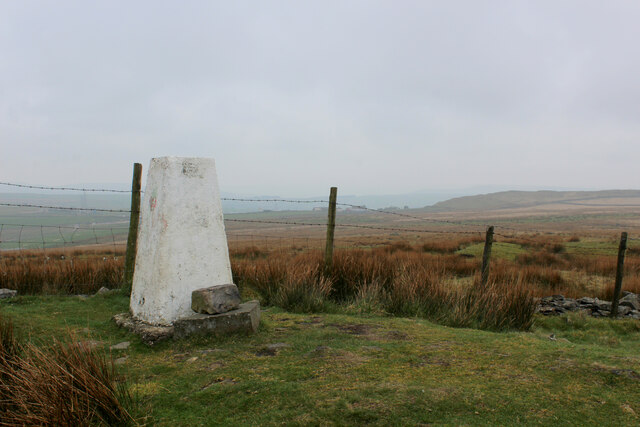
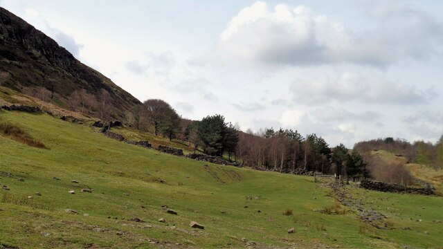
Cliviger
Cliviger is a civil parish in the Borough of Burnley, in Lancashire, England. It is situated to the southeast of Burnley, and northwest of Todmorden....

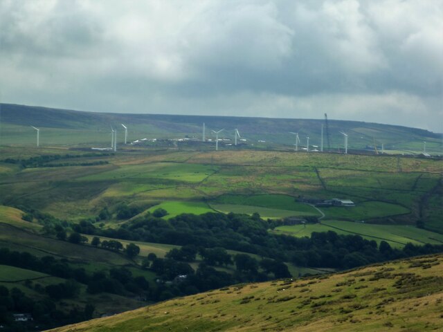
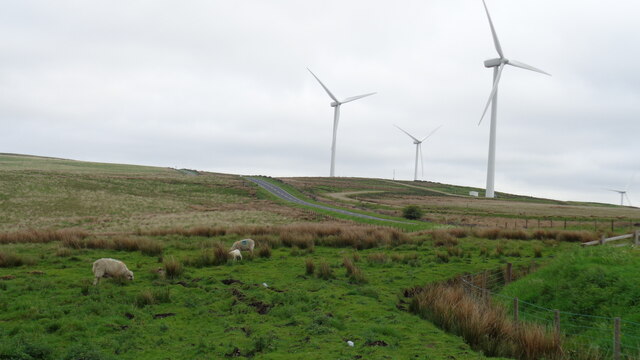
Coal Clough Wind Farm
Coal Clough Wind Farm is one of the oldest onshore wind farms in England. The wind farm, which was built for Scottish Power, produced electricity from...

Hurstwood
Hurstwood is a rural hamlet on the eastern outskirts of Burnley in Lancashire, England. It is in the civil parish of Worsthorne-with-Hurstwood and the...

Singing Ringing Tree (sculpture)
The Singing Ringing Tree is a wind powered sound sculpture resembling a tree set in the landscape of the Pennine hill range overlooking Burnley, in Lancashire...
Fother Royd Wood
Fother Royd Wood is a woodland in Lancashire, England, near Worsthorne. It covers a total area of 1.03 hectares (2.55 acres). It is owned and managed by...
Related Videos

23 October 2023
A671 passing vehicle with woman on horseback.


A Snowy Hike over Cliviger Gorge, Thieveley Pike & Frozen Waterfalls. Todmorden / Burnley
Cliviger Gorge is a high steep sided valley which was formed in the last Ice Age, and is on the boundary of Todmorden and ...
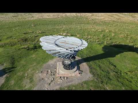
Singing Ringing Tree
The Singing Ringing Tree is located on the outskirts of Burnley with fantastic views.
Nearby Amenities
Located within 500m of 53.753343,-2.1846808Have you been to Green Clough Wood?
Leave your review of Green Clough Wood below (or comments, questions and feedback).