Farmbank Plantation

Wood, Forest in Worcestershire Wychavon

England

Farmbank Plantation

Jakeman's Hill Farm (1) Between Droitwich and the Hampton Lovett Industrial Estate.
Jakeman's Hill Farm (1) Credit: Jeff Gogarty

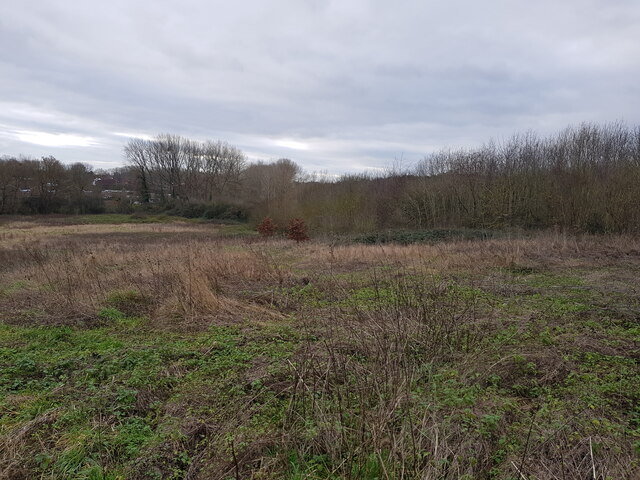
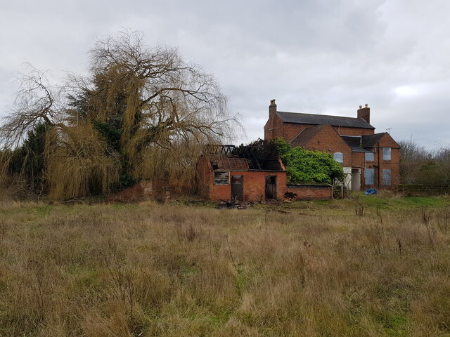
Farmbank Plantation is a picturesque woodland situated in Worcestershire, England. This sprawling plantation covers a vast expanse of land and is renowned for its rich biodiversity and natural beauty. Nestled amidst the rolling hills of Worcestershire, the plantation is a haven for nature enthusiasts and those seeking tranquility in a serene environment.

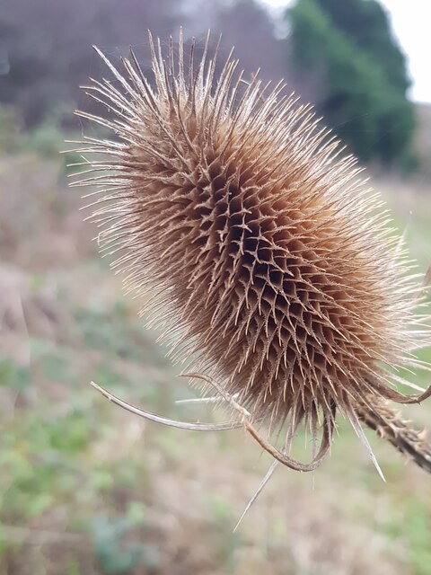
The plantation boasts a diverse range of tree species, including oak, beech, birch, and pine. These majestic trees provide a lush canopy that shelters a thriving undergrowth of ferns, wildflowers, and mosses. The plantation is also home to a myriad of wildlife, such as deer, squirrels, foxes, and a variety of bird species, making it a popular destination for birdwatchers and wildlife photographers.

Visitors to Farmbank Plantation can explore its numerous walking trails, which wind through the woodland and offer breathtaking views of the surrounding countryside. The plantation also features a picnic area where visitors can enjoy a leisurely lunch amidst the natural splendor.

In addition to its natural beauty, Farmbank Plantation also plays an important role in the local ecosystem. It serves as a vital habitat for many endangered and rare species, contributing to the conservation efforts in Worcestershire.

Overall, Farmbank Plantation is a stunning woodland that offers a tranquil escape from the hustle and bustle of everyday life. It is a cherished natural gem in Worcestershire, attracting visitors from far and wide who are captivated by its beauty and the opportunity to connect with nature.

If you have any feedback on the listing, please let us know in the comments section below.

Farmbank Plantation Images

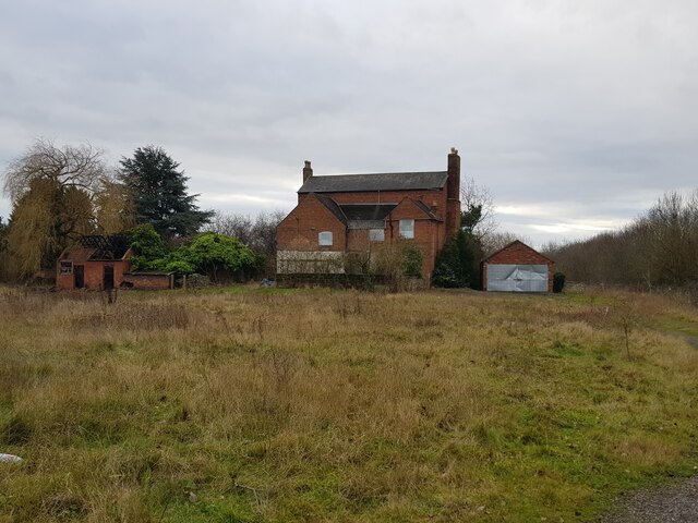
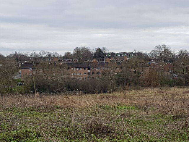
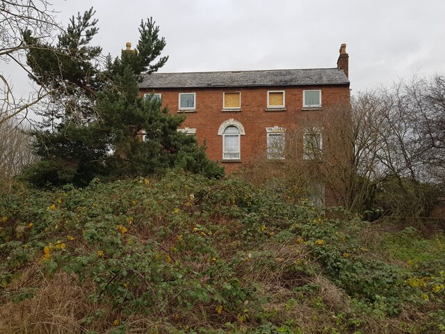
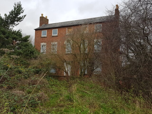
Images are sourced within 2km of 52.286297/-2.1782332 or Grid Reference SO8765. Thanks to Geograph Open Source API. All images are credited.

Jakeman's Hill Farm (1) Between Droitwich and the Hampton Lovett Industrial Estate.
Jakeman's Hill Farm (1)
Between Droitwich and the Hampton Lovett Industrial Estate.
Westlands estate Droitwich from Jakeman's Hill
Jakeman's Hill Farm (2)
Jakeman's Hill Farm (3)
Looking over Elmbridge Brook from Jakeman's Hill This is looking in the opposite direction to <a href="https://www.geograph.org.uk/photo/4577909">SO8864 : Jakeman's Hill Farm, Hampton Lovett from Stoney Bridge</a>.
Looking over Elmbridge Brook from Jakeman's Hill
This is looking in the opposite direction to SO8864 : Jakeman's Hill Farm, Hampton Lovett from Stoney Bridge.
Teasel at Jakeman's Hill, Droitwich
Jakeman's Hill Farm (4)
Jakeman's Hill Farm (5)
Jakeman's Hill Farm (6) The fire in the damaged building was the previous night.
Jakeman's Hill Farm (6)
The fire in the damaged building was the previous night.
Vax on Stonebridge Cross Business Park
Droitwich Skate Park (1), King George V Playing Fields, Droitwich Spa, Worcs The Droitwich Skatepark was opened in August 2003. It is located on the King George V Playing Fields, behind the Leisure Centre and near to the tunnel under the A38 (Roman Way). It has floodlighting.

The park contains a quarter pipe, flat bank, grind box and free standing rail.

<a href="https://www.geograph.org.uk/photo/7113924">SO8863 : Droitwich Skate Park (2), King George V Playing Fields, Droitwich Spa, Worcs</a>.
Droitwich Skate Park (1), King George V Playing Fields, Droitwich Spa, Worcs
The Droitwich Skatepark was opened in August 2003. It is located on the King George V Playing Fields, behind the Leisure Centre and near to the tunnel under the A38 (Roman Way). It has floodlighting. The park contains a quarter pipe, flat bank, grind box and free standing rail. SO8863 : Droitwich Skate Park (2), King George V Playing Fields, Droitwich Spa, Worcs.
Bridge leading to tunnel under A38 road, Droitwich Spa, Worcs The bridge crosses the River Salwarpe and carries a public footpath and National Cycleway route 45. These then enter a tunnel which takes them under the dual carriageway A38 (Roman Way). On the other side the footpath divides into two, one arm leading to Park Way, and the other to Meadow Road.
Bridge leading to tunnel under A38 road, Droitwich Spa, Worcs
The bridge crosses the River Salwarpe and carries a public footpath and National Cycleway route 45. These then enter a tunnel which takes them under the dual carriageway A38 (Roman Way). On the other side the footpath divides into two, one arm leading to Park Way, and the other to Meadow Road.
Bridge over the River Salwarpe, Droitwich Spa, Worcs The bridge carries a public footpath and National Cycleway Route 45 over the river and into the King George V Playing Fields.

<a href="https://www.geograph.org.uk/photo/7072326">SO8863 : Bridge leading to tunnel under A38 road, Droitwich Spa, Worcs</a>.
Bridge over the River Salwarpe, Droitwich Spa, Worcs
The bridge carries a public footpath and National Cycleway Route 45 over the river and into the King George V Playing Fields. SO8863 : Bridge leading to tunnel under A38 road, Droitwich Spa, Worcs.
Tunnel under Roman Way (A38), Droitwich Spa, Worcs The tunnel passes under the dual carriageways of the A38 road. It is shared by a public footpath and National Cycleway Route 45. When these emerge at the other end of the tunnel the route splits. One arm goes to Park Way, and the other to Meadow Road.

<a href="https://www.geograph.org.uk/photo/7073166">SO8863 : Tunnel under Roman Way (A38), Droitwich Spa, Worcs</a>.
Tunnel under Roman Way (A38), Droitwich Spa, Worcs
The tunnel passes under the dual carriageways of the A38 road. It is shared by a public footpath and National Cycleway Route 45. When these emerge at the other end of the tunnel the route splits. One arm goes to Park Way, and the other to Meadow Road. SO8863 : Tunnel under Roman Way (A38), Droitwich Spa, Worcs.
Tunnel under Roman Way (A38), Droitwich Spa, Worcs The tunnel takes a public footpath and National Cycleway Route 45 under the dual carriageways of Roman Way (part of the A38 road). At the other end of the tunnel, the footpath and cycleway cross the River Salwarpe by a bridge and then enter the King George V Playing Fields.

<a href="https://www.geograph.org.uk/photo/7073147">SO8863 : Tunnel under Roman Way (A38), Droitwich Spa, Worcs</a>.
Tunnel under Roman Way (A38), Droitwich Spa, Worcs
The tunnel takes a public footpath and National Cycleway Route 45 under the dual carriageways of Roman Way (part of the A38 road). At the other end of the tunnel, the footpath and cycleway cross the River Salwarpe by a bridge and then enter the King George V Playing Fields. SO8863 : Tunnel under Roman Way (A38), Droitwich Spa, Worcs.
River Salwarpe looking southwest, Droitwich Spa, Worcs The River Salwarpe is here running along the edge of the King George V Playing Field. Photographed from the bridge which takes a public footpath and cycleway across the river to the tunnel under the A38 road (Roman Way).
River Salwarpe looking southwest, Droitwich Spa, Worcs
The River Salwarpe is here running along the edge of the King George V Playing Field. Photographed from the bridge which takes a public footpath and cycleway across the river to the tunnel under the A38 road (Roman Way).
Public footpath to Kidderminster Road, Droitwich Spa, Worcs This footpath commences near the entrance to the tunnel under Roman Way (A38) from the King George V Playing Field. It goes through woodland and eventually passes along one side of an Aldi supermarket and comes out on Kidderminster Road.
Public footpath to Kidderminster Road, Droitwich Spa, Worcs
This footpath commences near the entrance to the tunnel under Roman Way (A38) from the King George V Playing Field. It goes through woodland and eventually passes along one side of an Aldi supermarket and comes out on Kidderminster Road.
River Salwarpe on edge of King George V Playing Field, Droitwich Spa, Worcs The King George V Playing field is on the right of the river.
River Salwarpe on edge of King George V Playing Field, Droitwich Spa, Worcs
The King George V Playing field is on the right of the river.
Show me another place!

Farmbank Plantation is located at Grid Ref: SO8765 (Lat: 52.286297, Lng: -2.1782332)

Administrative County: Worcestershire

District: Wychavon

Police Authority: West Mercia

What 3 Words

///knowledge.guises.shortcuts. Near Droitwich, Worcestershire

Related Wikis

Hampton Lovett

Hampton Lovett is a village and civil parish in the Wychavon district of the county of Worcestershire, England. It is just north of Droitwich. The church...

Westwood House

Westwood House is a stately home, near Droitwich, Worcestershire, England. It has been subdivided into twelve self-contained apartments. The house has...

Doverdale

Doverdale is a small village and civil parish in Worcestershire, England, to the west of Droitwich. It has a parish church. Doverdale Manor is one of largest...

Westwood Priory

Westwood Priory (priory of St. Mary) was a priory of Benedictine nuns founded in 1153, near Droitwich, Worcestershire, England. It was a daughter house...

Nearby Amenities

Located within 500m of 52.286297,-2.1782332
Bus Stop
Hampton Lovett- Industrial Estate
Bus: yes
Naptan AtcoCode: 2000G056200
Naptan Bearing: N
Naptan CommonName: Hampton Lovett- Industrial Estate
Naptan Indicator: Adj
Naptan Landmark: Industrial Estate
Naptan NaptanCode: wocgmgjt
Naptan Street: Wassage way South
Naptan Verified: no
Public Transport: platform
Source: naptan_import
Lat/Long: 52.2847218/-2.1713572
Mini Roundabout
Direction: clockwise
Lat/Long: 52.2832778/-2.1784161
Power: pole
Lat/Long: 52.284541/-2.1848034
Mini Roundabout
Lat/Long: 52.2836634/-2.177868
Aeroway: helipad
Lat/Long: 52.2854998/-2.1823527
Amazon DWR1
Office: company
Lat/Long: 52.2861377/-2.1713227
Power: pole
Lat/Long: 52.289307/-2.1756034
Power: pole
Lat/Long: 52.2885178/-2.1831773
Home Farm
Power: pole
Transformer: distribution
Voltage Primary: 11000
Lat/Long: 52.2875281/-2.1820769
Power: pole
Lat/Long: 52.2871478/-2.1813722
Power: pole
Lat/Long: 52.2872012/-2.1802484
Power: pole
Lat/Long: 52.2872405/-2.1791634
Power: pole
Lat/Long: 52.2875186/-2.1780463
Power: pole
Lat/Long: 52.2881027/-2.1768768
Upper Hall Farm
Power: pole
Transformer: distribution
Voltage Primary: 11000
Lat/Long: 52.2887885/-2.1764249
Power: pole
Lat/Long: 52.2896901/-2.1749926
The data included in this document is from www.openstreetmap.org. The data is made available under ODbL.

Have you been to Farmbank Plantation?

Leave your review of Farmbank Plantation below (or comments, questions and feedback).