Keybridge Coppice
Wood, Forest in Worcestershire Wychavon
England
Keybridge Coppice
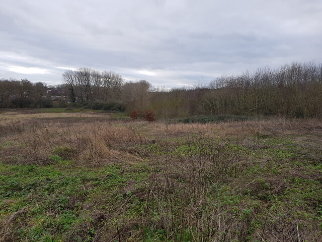
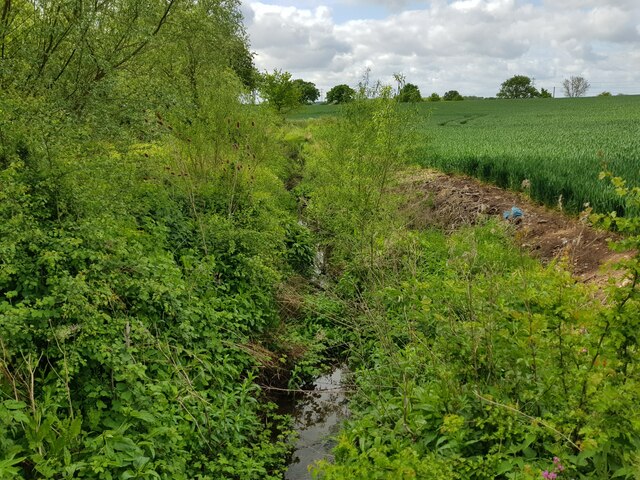
Keybridge Coppice is a dense woodland located in Worcestershire, England. Covering an area of approximately 50 acres, it is a significant natural feature within the county. The coppice is situated near the village of Keybridge, which lies about 5 miles southwest of the town of Worcester.
The woodland primarily consists of native deciduous trees, including oak, ash, beech, and birch. These trees create a dense canopy, providing a habitat for a diverse range of flora and fauna. Bluebells, primroses, and wild garlic are just a few examples of the vibrant plant life that can be found in the coppice during the spring months.
Keybridge Coppice is a popular destination for nature enthusiasts, walkers, and birdwatchers due to its tranquil atmosphere and abundant wildlife. The woodland is home to various bird species, such as woodpeckers, tits, and thrushes, which can be spotted throughout the year. Additionally, small mammals like foxes, badgers, and squirrels are frequently observed in the area.
The coppice is managed by the Worcestershire Wildlife Trust, which ensures conservation efforts are in place to protect its natural beauty. Regular maintenance activities, such as coppicing and selective thinning, are carried out to encourage biodiversity and enhance the health of the woodland.
Keybridge Coppice offers a serene retreat from the hustle and bustle of urban life, providing visitors with an opportunity to immerse themselves in the peacefulness of nature. Whether it is for a leisurely stroll, birdwatching, or simply enjoying the tranquility, this woodland is a cherished natural asset within Worcestershire.
If you have any feedback on the listing, please let us know in the comments section below.
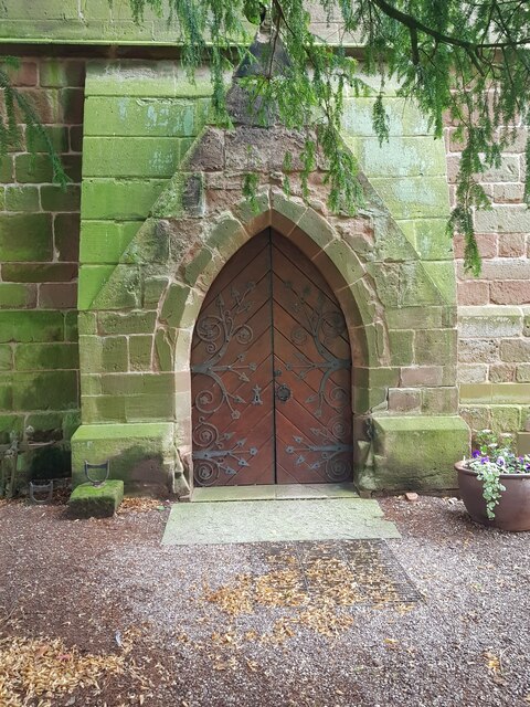
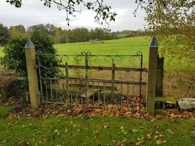
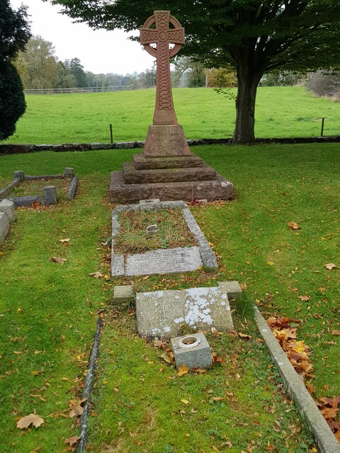
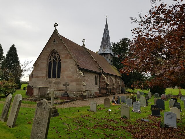
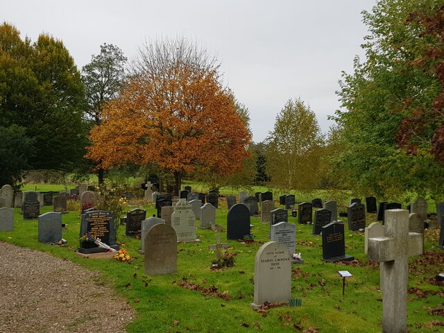
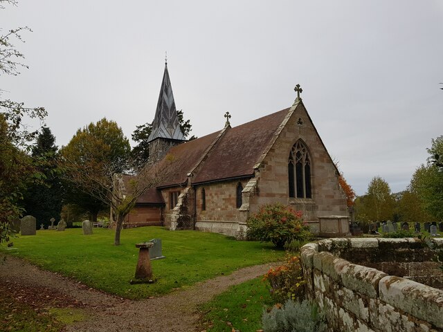
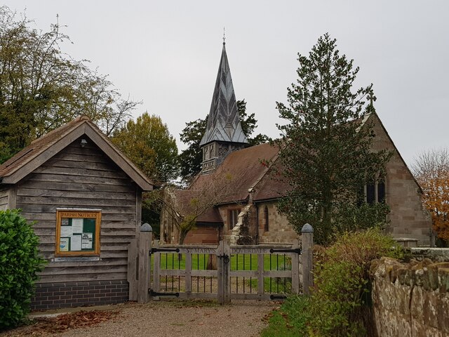
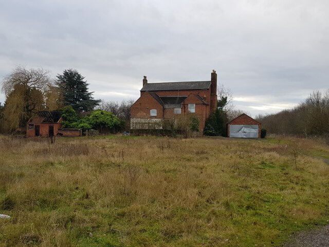
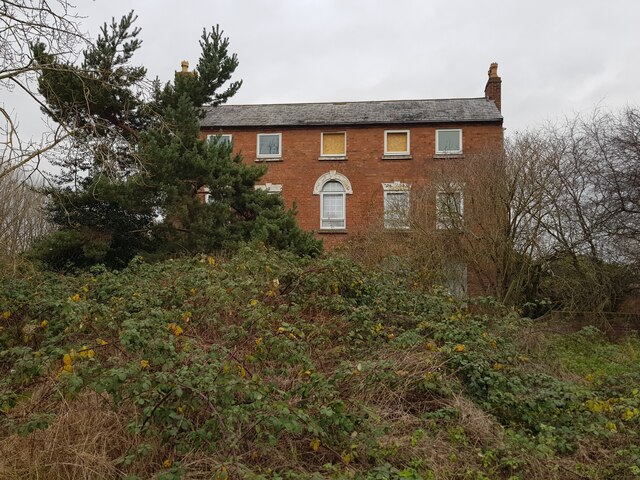
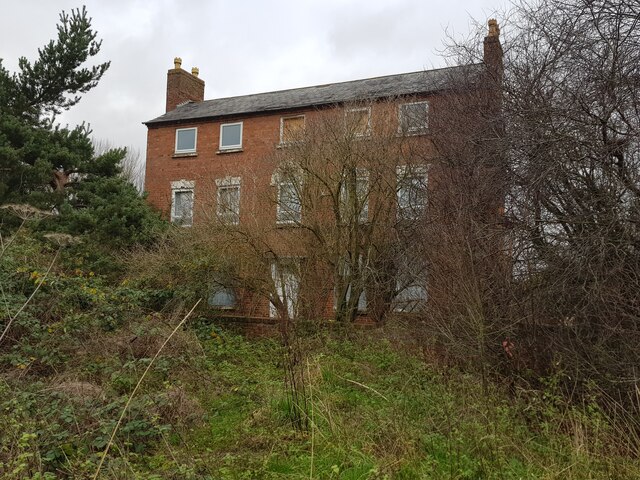
Keybridge Coppice Images
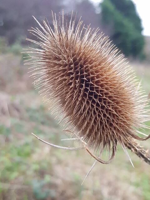
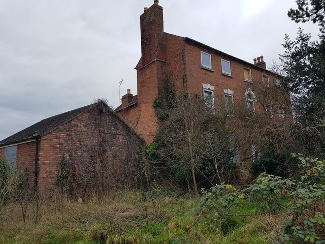
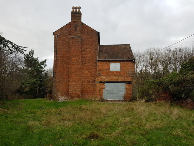
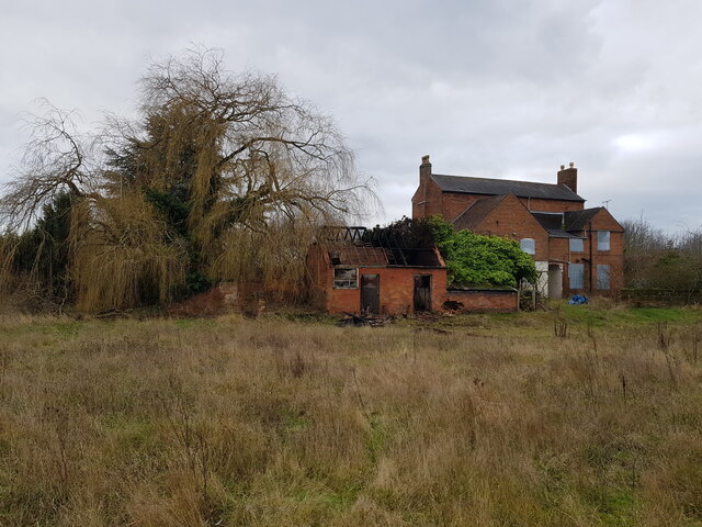
Images are sourced within 2km of 52.291497/-2.1879014 or Grid Reference SO8765. Thanks to Geograph Open Source API. All images are credited.

Keybridge Coppice is located at Grid Ref: SO8765 (Lat: 52.291497, Lng: -2.1879014)
Administrative County: Worcestershire
District: Wychavon
Police Authority: West Mercia
What 3 Words
///satin.emulating.branching. Near Droitwich, Worcestershire
Nearby Locations
Related Wikis

Doverdale
Doverdale is a small village and civil parish in Worcestershire, England, to the west of Droitwich. It has a parish church. Doverdale Manor is one of largest...

Hampton Lovett
Hampton Lovett is a village and civil parish in the Wychavon district of the county of Worcestershire, England. It is just north of Droitwich. The church...

Cutnall Green Halt railway station
Cutnall Green Halt was a railway station in Worcestershire, England, serving the nearby village of Hampton Lovett on the Oxford, Worcester and Wolverhampton...

Westwood House
Westwood House is a stately home, near Droitwich, Worcestershire, England. It has been subdivided into twelve self-contained apartments. The house has...

Snead's Green
Snead's Green, sometimes written Sneads Green, is an area of Droitwich Spa, Worcestershire, England.Francis Moule, of Snead's Green House, sold the manorial...
Westwood Priory
Westwood Priory (priory of St. Mary) was a priory of Benedictine nuns founded in 1153, near Droitwich, Worcestershire, England. It was a daughter house...

Dunhampton
Dunhampton is a village in Worcestershire, England.
Droitwich Spa High School
Droitwich Spa High School is a secondary school and specialist Sports College with academy status in Droitwich Spa, Worcestershire, England. It serves...
Nearby Amenities
Located within 500m of 52.291497,-2.1879014Have you been to Keybridge Coppice?
Leave your review of Keybridge Coppice below (or comments, questions and feedback).