Proud Grove
Wood, Forest in Gloucestershire Stroud
England
Proud Grove
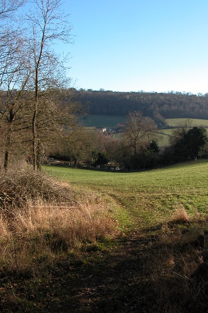
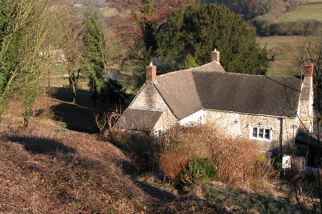
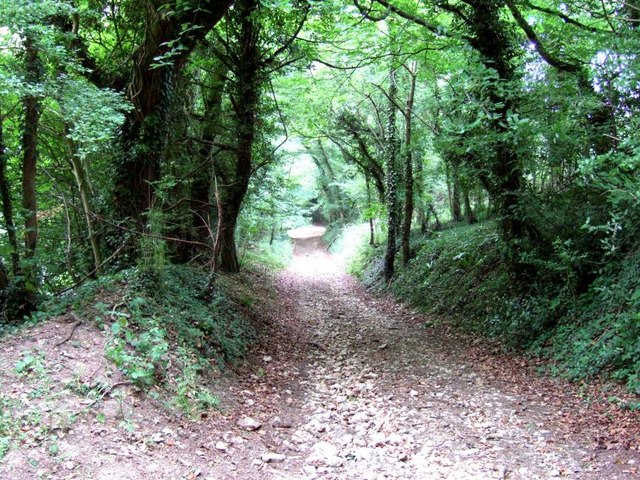
Proud Grove is a picturesque woodland located in the county of Gloucestershire, England. Nestled in the heart of the Forest of Dean, it is renowned for its natural beauty and tranquil atmosphere. This ancient woodland covers an area of approximately 200 acres and is home to a diverse range of wildlife.
The grove is predominantly composed of deciduous trees, including oak, beech, and ash, which create a dense canopy overhead, allowing only dappled sunlight to penetrate through the foliage. This creates a unique and enchanting ambiance, perfect for those seeking a peaceful retreat from the hustle and bustle of city life.
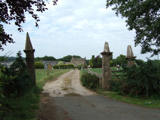
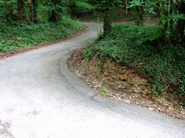
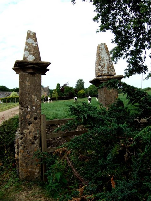
Proud Grove is crisscrossed by a network of well-maintained footpaths, providing visitors with the opportunity to explore its hidden treasures. As visitors meander through the woodland, they may encounter various flora and fauna, such as bluebells, foxgloves, and badgers.
One of the standout features of Proud Grove is its ancient oak trees, some of which are estimated to be over 500 years old. These majestic giants stand tall and proud, their gnarled and twisted trunks telling tales of centuries gone by. They provide a sense of awe and wonder, reminding visitors of the grove's rich history.
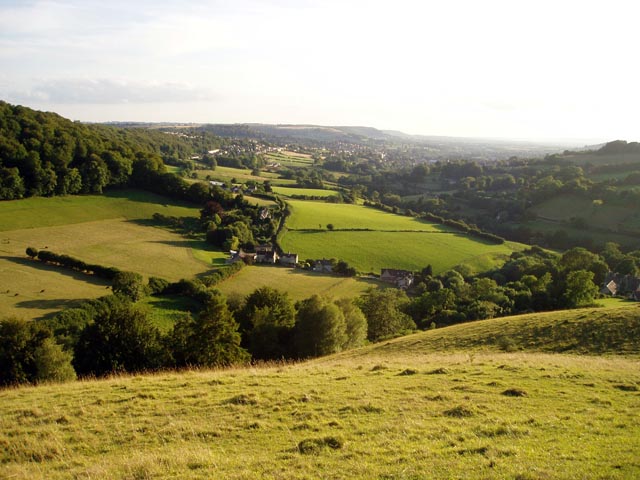
The grove is a popular destination for nature lovers, photographers, and those seeking a peaceful escape. Its beauty changes with the seasons, from vibrant hues of green in spring and summer to a golden and fiery display in autumn. Proud Grove truly is a hidden gem within the Forest of Dean, offering a sanctuary for both nature and humans alike.
If you have any feedback on the listing, please let us know in the comments section below.
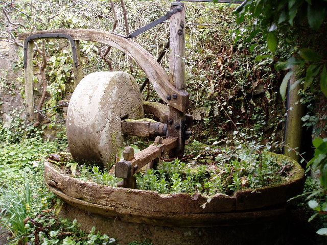
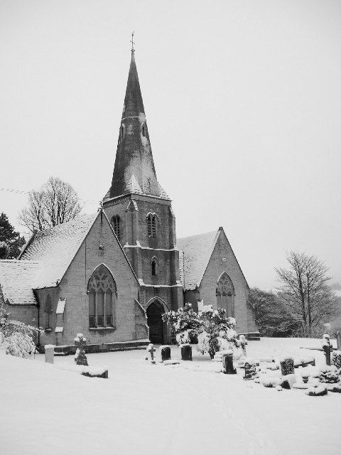
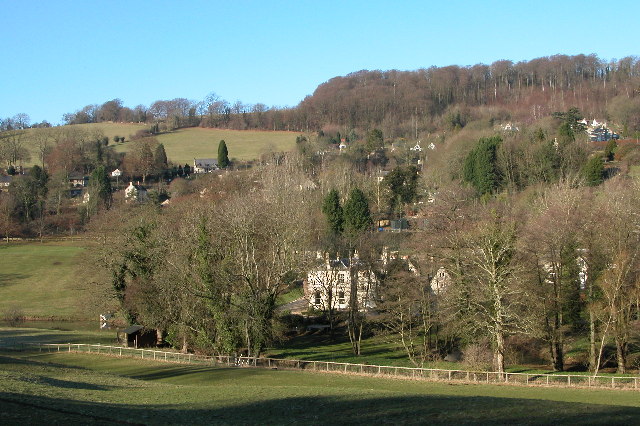
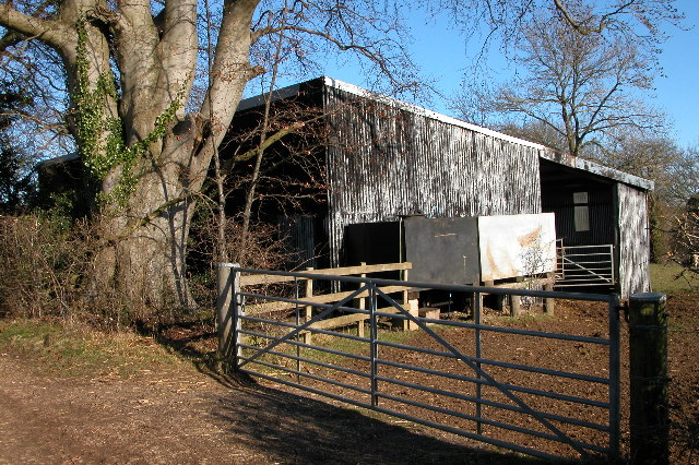
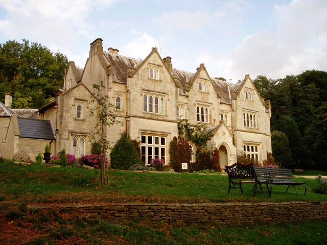
Proud Grove Images
Images are sourced within 2km of 51.752707/-2.185683 or Grid Reference SO8706. Thanks to Geograph Open Source API. All images are credited.


Proud Grove is located at Grid Ref: SO8706 (Lat: 51.752707, Lng: -2.185683)
Administrative County: Gloucestershire
District: Stroud
Police Authority: Gloucestershire
What 3 Words
///shipwreck.exacted.seasick. Near Stroud, Gloucestershire
Nearby Locations
Related Wikis

Swift's Hill SSSI
Swift's Hill (grid reference SO877067) is a 9.15-hectare (22.6-acre) biological and geological Site of Special Scientific Interest in Gloucestershire,...

Lypiatt Park
Lypiatt Park is a medieval and Tudor manor house with notable nineteenth-century additions in the parish of Bisley, near Stroud, in Gloucestershire, England...

Slad
Slad is a village in Gloucestershire, England, in the Slad Valley about 2 miles (3 km) from Stroud on the B4070 road from Stroud to Birdlip. Slad is notable...

Church of All Saints, Stroud
The Church of All Saints is a Church of England parish church in the Uplands area of Stroud, Gloucestershire. The church is a Grade I listed building....

Hawkwood College
Hawkwood Centre for Future Thinking is a registered charity and independent centre for education in a 19th-century Grade II listed building, on 42 acres...
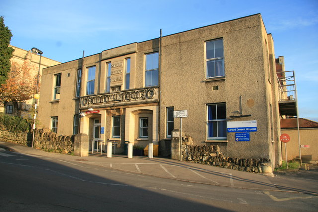
Stroud General Hospital
Stroud General Hospital is a health facility in Trinity Road in Stroud, Gloucestershire, England. It is managed by Gloucestershire Health and Care NHS...

Blackboy Clock
The Blackboy Clock is a clock in Stroud, Gloucestershire, England. It is a jacquemart (Jack clock), with a Black boy figurine with a club that strikes...

Stroud District
Stroud District is a local government district in Gloucestershire, England. The district is named after its largest town of Stroud. The council is based...
Nearby Amenities
Located within 500m of 51.752707,-2.185683Have you been to Proud Grove?
Leave your review of Proud Grove below (or comments, questions and feedback).