Stib Acre Copse

Wood, Forest in Wiltshire

England

Stib Acre Copse

Church Green, Semley
Church Green, Semley Credit: David Martin

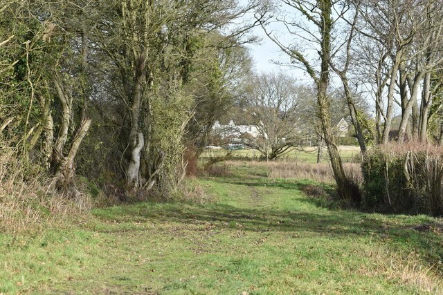
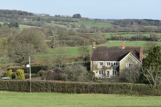
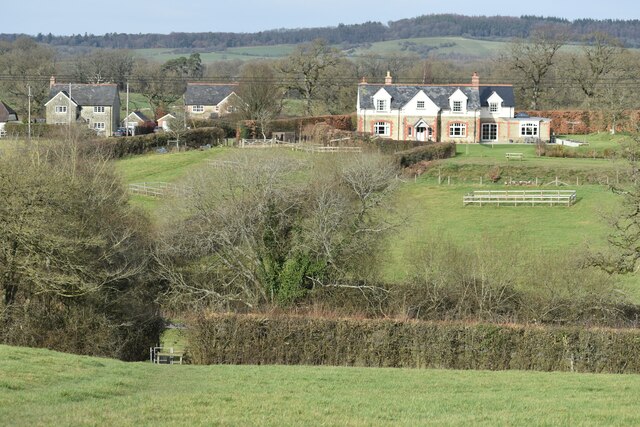
Stib Acre Copse is a picturesque woodland located in the county of Wiltshire, England. Covering an area of approximately 20 acres, this ancient forest is known for its diverse range of flora and fauna. The copse is situated on the outskirts of the village of Stib, hence its name.

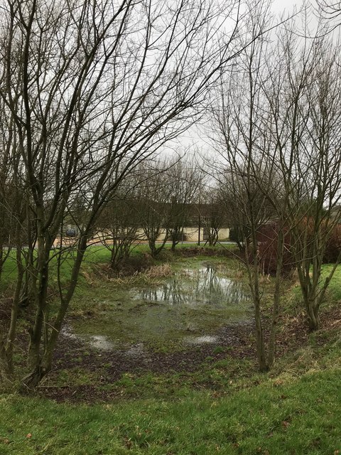
The woodland is predominantly composed of deciduous trees, including oak, ash, beech, and birch. These tall and majestic trees create a dense canopy, providing shelter and habitat for various species of birds and small mammals. The forest floor is covered in a thick layer of leaf litter, which supports a wide range of woodland plants and fungi.

Stib Acre Copse is a haven for nature enthusiasts and hikers alike. It offers several well-maintained footpaths, allowing visitors to explore the woodland and admire its beauty. The peaceful atmosphere and the soothing sound of birdsong make it an ideal spot for those seeking tranquility and a connection with nature.

The copse is also home to a diverse array of wildlife. Red squirrels can often be spotted scampering through the treetops, while deer can be seen grazing in the open clearings. The forest is also teeming with birdlife, including woodpeckers, nightingales, and various species of owls.

Stib Acre Copse is a designated Site of Special Scientific Interest (SSSI). The woodland is protected by various conservation measures to ensure the preservation of its unique ecosystem. It is managed by the local council in collaboration with environmental organizations to maintain its natural beauty and ecological value.

If you have any feedback on the listing, please let us know in the comments section below.

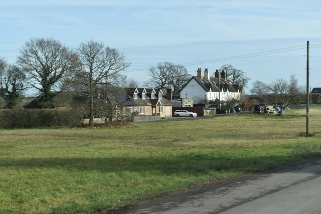
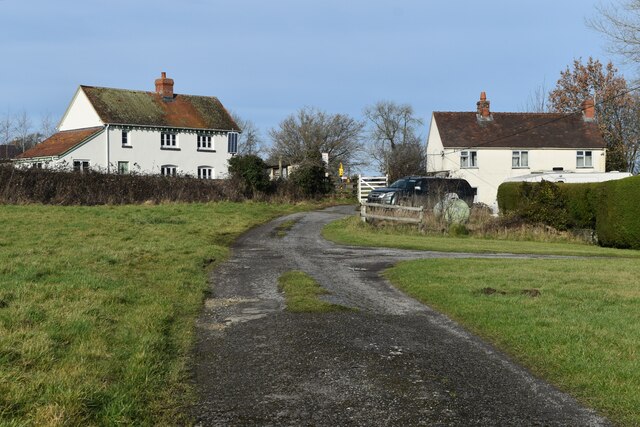
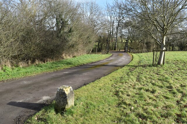
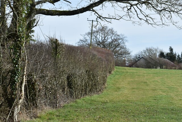
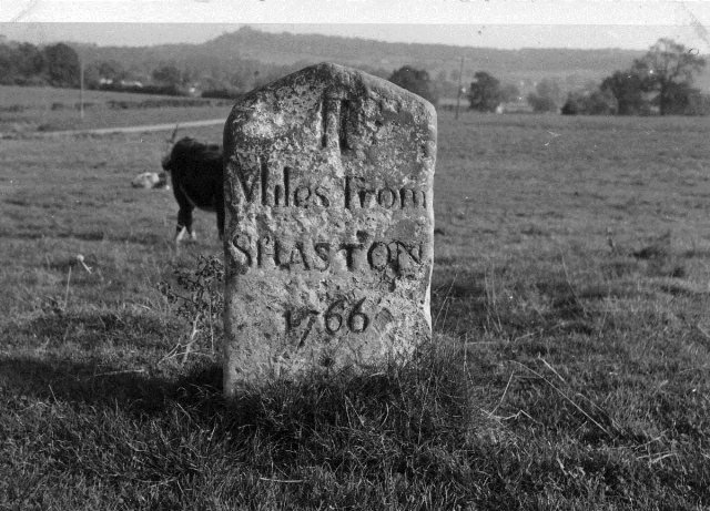
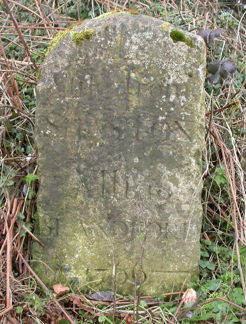
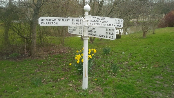
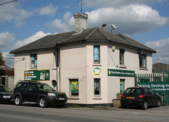
Stib Acre Copse Images

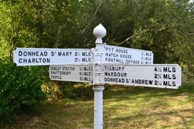
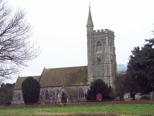
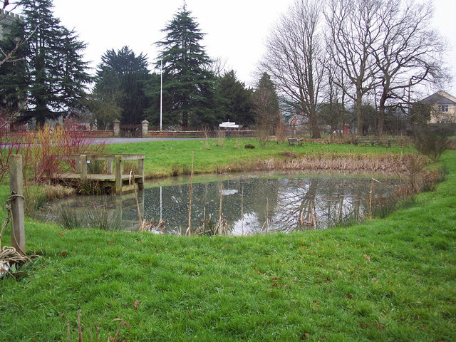
Images are sourced within 2km of 51.030876/-2.1739099 or Grid Reference ST8725. Thanks to Geograph Open Source API. All images are credited.

Church Green, Semley
Track to Semley Gates Crossing The white gate of the level crossing can just be seen between the houses.
Track to Semley Gates Crossing
The white gate of the level crossing can just be seen between the houses.
Footpath and drive to The Grange, Semley The footpath turns off to the left by the post and crosses the stream by a small bridge.
Footpath and drive to The Grange, Semley
The footpath turns off to the left by the post and crosses the stream by a small bridge.
Field edge footpath near Glebe Farm
Footpath behind the school at Semley
View over West Hayes, Semley
View across fields to Kirton Farm
Pond at Semley Green
Old Milestone by the A350, Semley Common Shaston stone by the A350, in parish of Sedgehill and Semley (Salisbury District), Semley Common, by the road.

Lost since 1970.

Inscription reads:-
II
Miles From
SHASTON
1766
(Shaston is the old name for Shaftesbury)

Milestone Society National ID: WI_WMSH13
Old Milestone by the A350, Semley Common
Shaston stone by the A350, in parish of Sedgehill and Semley (Salisbury District), Semley Common, by the road. Lost since 1970. Inscription reads:- II Miles From SHASTON 1766 (Shaston is the old name for Shaftesbury) Milestone Society National ID: WI_WMSH13
Old Milestone by the A350, Semley Road, north of Shaftesbury Carved stone post by the A350, in parish of DONHEAD ST MARY (SALISBURY District), Semley Road, Shaftesbury; 30m North of lay-by outside reservoir, by the road, on East side of road. Dorset 3 (limestone), erected by the Shaftesbury & New Road to Blandford turnpike trust in the 18th century. 

Inscription reads:-
: (DO)NHEAD / (ST MARY) : : 1 / Mile From / SHASTON / XIII To / BLANDFORD / 1766 : : DONHEAD / ST (MARY) :
Carved benchmark bottom right of front face.

Milestone Society National ID: WI_WMSH14.
Old Milestone by the A350, Semley Road, north of Shaftesbury
Carved stone post by the A350, in parish of DONHEAD ST MARY (SALISBURY District), Semley Road, Shaftesbury; 30m North of lay-by outside reservoir, by the road, on East side of road. Dorset 3 (limestone), erected by the Shaftesbury & New Road to Blandford turnpike trust in the 18th century. Inscription reads:- : (DO)NHEAD / (ST MARY) : : 1 / Mile From / SHASTON / XIII To / BLANDFORD / 1766 : : DONHEAD / ST (MARY) : Carved benchmark bottom right of front face. Milestone Society National ID: WI_WMSH14.
Old Direction Sign - Signpost in Semley Ogee finial - 4 arms; Wilts finial by the UC road, in parish of Sedgehill and Semley (Salisbury District), Semley, opposite North West entrance to churchyard, on village green, by pond.

Grade II listed.
List Entry Number: 1318800 <span class="nowrap"><a title="https://historicengland.org.uk/listing/the-list/list-entry/1318800" rel="nofollow ugc noopener" href="https://historicengland.org.uk/listing/the-list/list-entry/1318800">Link</a><img style="margin-left:2px;" alt="External link" title="External link - shift click to open in new window" src="https://s1.geograph.org.uk/img/external.png" width="10" height="10"/></span>

Surveyed

Milestone Society National ID: WI_ST8926
Old Direction Sign - Signpost in Semley
Ogee finial - 4 arms; Wilts finial by the UC road, in parish of Sedgehill and Semley (Salisbury District), Semley, opposite North West entrance to churchyard, on village green, by pond. Grade II listed. List Entry Number: 1318800 LinkExternal link Surveyed Milestone Society National ID: WI_ST8926
North Gate Toll House, Shaftesbury Toll House by the A350, Grosvenor Road, in the parish of Shaftesbury (North Dorset District), at entrance to Travis Perkins Builders Yard, Littledown, SP7.

Demolished after October 2011.

Surveyed

Milestone Society National ID: DO.SHA01
North Gate Toll House, Shaftesbury
Toll House by the A350, Grosvenor Road, in the parish of Shaftesbury (North Dorset District), at entrance to Travis Perkins Builders Yard, Littledown, SP7. Demolished after October 2011. Surveyed Milestone Society National ID: DO.SHA01
Church Farm, Semley Seen across Church Green.
Church Farm, Semley
Seen across Church Green.
The Benett Arms, Semley
St Leonard's Church, Semley
Direction sign, Semley
Semley Church The Church of St Leonard.  1866-76 rebuilding by T H Wyatt, on the site of a medieval church.  It is built of limestone ashlar.
Semley Church
The Church of St Leonard. 1866-76 rebuilding by T H Wyatt, on the site of a medieval church. It is built of limestone ashlar.
Village Pond
Village Pond
Show me another place!

Stib Acre Copse is located at Grid Ref: ST8725 (Lat: 51.030876, Lng: -2.1739099)

Unitary Authority: Wiltshire

Police Authority: Wiltshire

What 3 Words

///diverting.silks.model. Near Motcombe, Dorset

Related Wikis

Semley railway station

Semley was a railway station in Wiltshire, England. It was served by trains on the West of England Main Line and was the railhead for the town of Shaftesbury...

Semley

Semley is a village and former civil parish, now in the parish of Sedgehill and Semley, in Wiltshire, England, about 3 miles (4.8 km) north-east of Shaftesbury...

Gutch Common

Gutch Common (grid reference ST896259) is a 35.1 hectare biological Site of Special Scientific Interest in Wiltshire, notified in 1951. == Sources == Natural...

Sedgehill and Semley

Sedgehill and Semley is a civil parish in the English county of Wiltshire, about 3 miles (4.8 km) north of the town of Shaftesbury on the main A350 road...

Nearby Amenities

Located within 500m of 51.030876,-2.1739099
Material: wood
Power: pole
Source: bing
Lat/Long: 51.0266389/-2.1759244
Material: wood
Power: pole
Source: bing
Lat/Long: 51.0275057/-2.1746419
Material: wood
Power: pole
Source: bing
Lat/Long: 51.0282536/-2.1734727
Material: wood
Power: pole
Source: bing
Lat/Long: 51.0291209/-2.1722558
Material: wood
Power: pole
Source: bing
Lat/Long: 51.0293868/-2.1700604
Material: wood
Power: pole
Source: bing
Lat/Long: 51.0295736/-2.1687065
Material: wood
Power: pole
Source: bing
Lat/Long: 51.0297606/-2.1673176
Material: wood
Power: pole
Source: bing
Transformer: distribution
Lat/Long: 51.0307743/-2.1702096
Material: wood
Power: pole
Source: bing
Lat/Long: 51.0312008/-2.1712782
Power: tower
Source: bing
Lat/Long: 51.0313974/-2.1722482
Power: tower
Source: bing
Lat/Long: 51.0315958/-2.1751247
Material: wood
Power: pole
Source: bing
Lat/Long: 51.0316388/-2.1723623
Power: tower
Source: bing
Lat/Long: 51.0317563/-2.1782924
Material: wood
Power: pole
Source: bing
Lat/Long: 51.0317588/-2.1779838
Material: wood
Power: pole
Source: bing
Lat/Long: 51.0318444/-2.1736962
Power: tower
Source: bing
Lat/Long: 51.0320073/-2.1706604
Material: wood
Power: pole
Source: bing
Lat/Long: 51.0320774/-2.175181
Material: wood
Power: pole
Source: bing
Transformer: distribution
Lat/Long: 51.0324212/-2.1774039
Power: tower
Source: bing
Lat/Long: 51.032792/-2.1686013
Material: wood
Power: pole
Source: bing
Lat/Long: 51.0332036/-2.1775288
Material: wood
Power: pole
Source: bing
Lat/Long: 51.0337143/-2.1775504
Material: wood
Power: pole
Source: bing
Lat/Long: 51.0343611/-2.1769254
Material: wood
Power: pole
Source: bing
Lat/Long: 51.0351024/-2.1762538
Material: wood
Power: pole
Source: bing
Lat/Long: 51.0290374/-2.1791812
Material: wood
Power: pole
Source: bing
Lat/Long: 51.0303633/-2.1791866
Material: wood
Power: pole
Source: bing
Lat/Long: 51.0310583/-2.1785884
The data included in this document is from www.openstreetmap.org. The data is made available under ODbL.

Have you been to Stib Acre Copse?

Leave your review of Stib Acre Copse below (or comments, questions and feedback).