Froud's Copse

Wood, Forest in Wiltshire

England

Froud's Copse

Track to Semley Gates Crossing The white gate of the level crossing can just be seen between the houses.
Track to Semley Gates Crossing Credit: David Martin

Froud's Copse is a picturesque wood located in the county of Wiltshire, England. Situated near the village of Froud, this enchanting forest covers an area of approximately 100 acres and is known for its diverse flora and fauna.

The woodland is predominantly made up of deciduous trees, including oak, beech, and ash, which create a dense canopy that provides shade and shelter for a variety of wildlife. Walking through Froud's Copse, visitors can admire the breathtaking beauty of bluebells carpeting the forest floor in spring, and witness the vibrant colors of the leaves during the autumn months.

The forest is home to an array of bird species, such as woodpeckers, owls, and songbirds, making it a haven for birdwatchers. Additionally, small mammals like squirrels, foxes, and rabbits can be spotted darting through the undergrowth.

Froud's Copse offers several walking trails that cater to both casual strollers and avid hikers. The paths wind their way through the wood, leading visitors past ancient trees and tranquil ponds. Along the way, there are various picnic spots where visitors can take a break and enjoy the peaceful surroundings.

The wood has a rich historical significance, with evidence of human activity dating back centuries. Archaeological discoveries, including pottery fragments and flint tools, have been found within the forest, hinting at its use by prehistoric communities.

Overall, Froud's Copse is a captivating woodland that offers a serene escape from the hustle and bustle of everyday life. Its natural beauty, wildlife, and historical significance make it a popular destination for nature enthusiasts and those seeking a peaceful retreat.

If you have any feedback on the listing, please let us know in the comments section below.

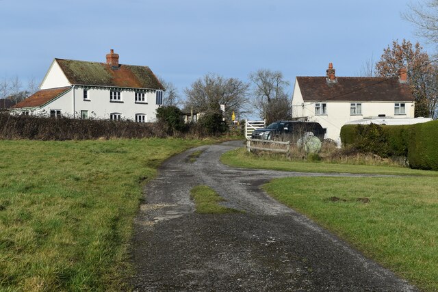
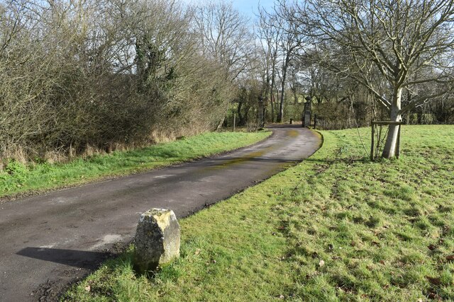
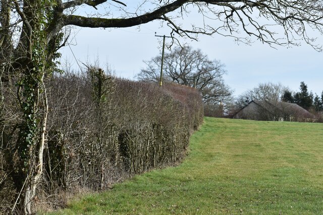
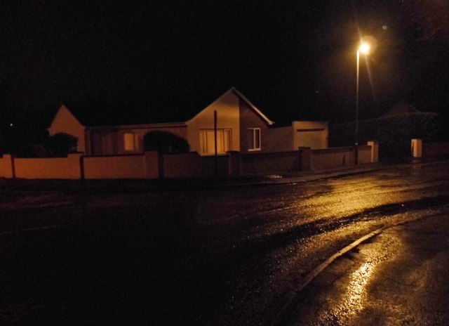
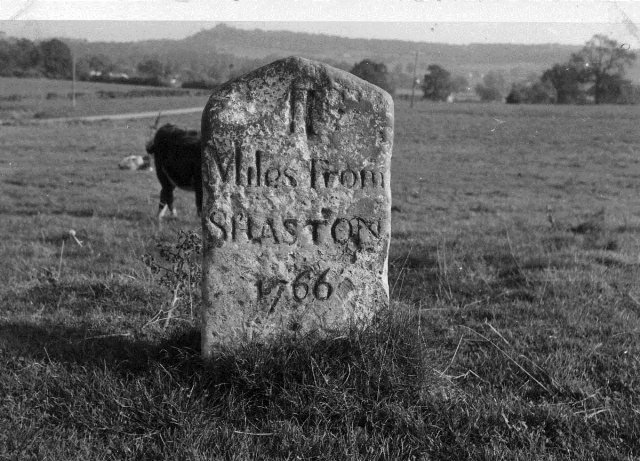
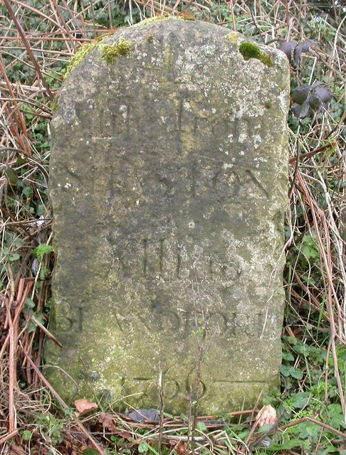
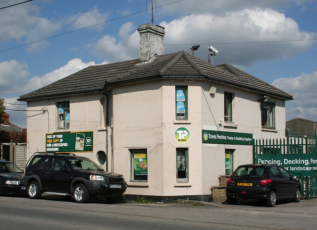
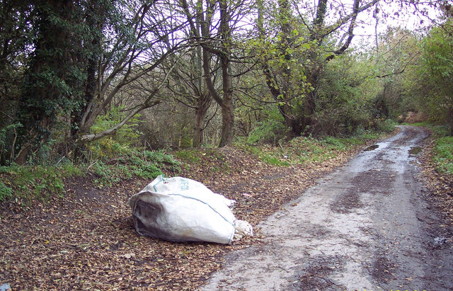
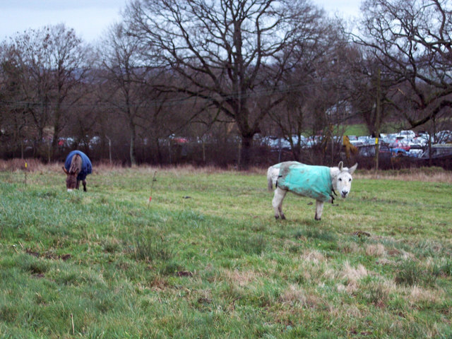
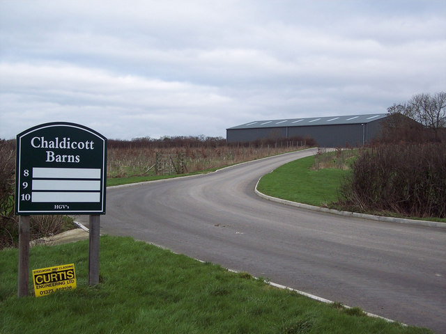
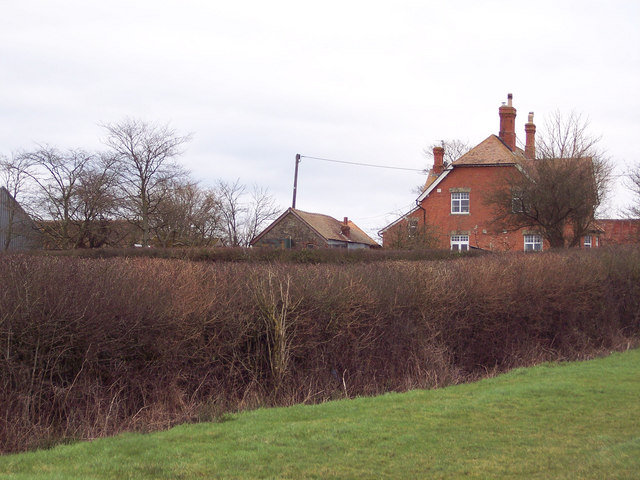
Froud's Copse Images

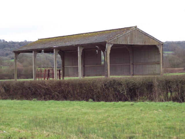
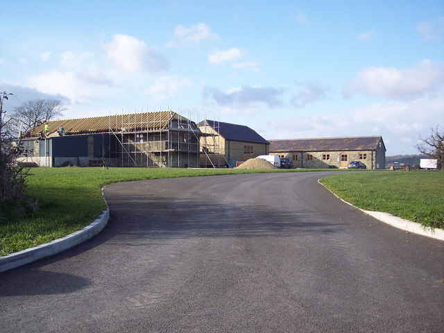
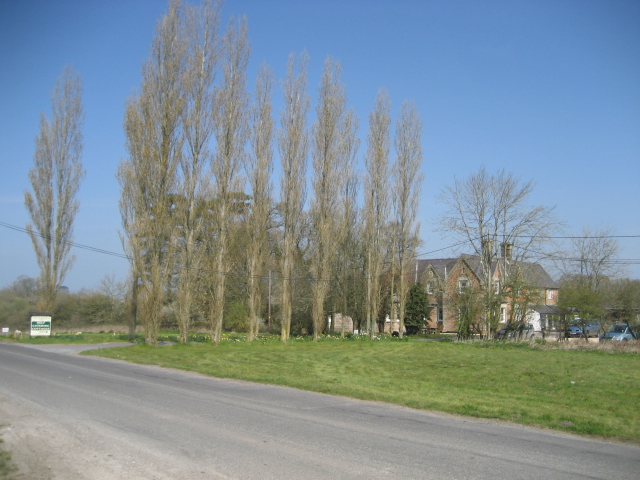
Images are sourced within 2km of 51.029997/-2.1785554 or Grid Reference ST8725. Thanks to Geograph Open Source API. All images are credited.

Track to Semley Gates Crossing The white gate of the level crossing can just be seen between the houses.
Track to Semley Gates Crossing
The white gate of the level crossing can just be seen between the houses.
Footpath and drive to The Grange, Semley The footpath turns off to the left by the post and crosses the stream by a small bridge.
Footpath and drive to The Grange, Semley
The footpath turns off to the left by the post and crosses the stream by a small bridge.
Field edge footpath near Glebe Farm
Shaftesbury: dense fog on the A350 It is 1:50 on a Monday morning and my southbound trip on the A350 between Warminster and Blandford Forum is marked by thick fog. 

Here, the street lighting as we enter the suburbs of Shaftesbury, at least provide reasonable visibility but I have been slowed to 25mph for longish stretches in the rural unlit parts, despite knowing the roads well and traffic being almost non-existent at this time of the day. 

Being able to see only three white lines ahead, it is quite disconcerting to realise that, on a road that you think you know in great detail right down to slight bends and awkward potholes, you don't actually know which way the next bend is going to turn.
Shaftesbury: dense fog on the A350
It is 1:50 on a Monday morning and my southbound trip on the A350 between Warminster and Blandford Forum is marked by thick fog. Here, the street lighting as we enter the suburbs of Shaftesbury, at least provide reasonable visibility but I have been slowed to 25mph for longish stretches in the rural unlit parts, despite knowing the roads well and traffic being almost non-existent at this time of the day. Being able to see only three white lines ahead, it is quite disconcerting to realise that, on a road that you think you know in great detail right down to slight bends and awkward potholes, you don't actually know which way the next bend is going to turn.
Bungalow on Homefield, Shaftesbury
Old Milestone by the A350, Semley Common Shaston stone by the A350, in parish of Sedgehill and Semley (Salisbury District), Semley Common, by the road.

Lost since 1970.

Inscription reads:-
II
Miles From
SHASTON
1766
(Shaston is the old name for Shaftesbury)

Milestone Society National ID: WI_WMSH13
Old Milestone by the A350, Semley Common
Shaston stone by the A350, in parish of Sedgehill and Semley (Salisbury District), Semley Common, by the road. Lost since 1970. Inscription reads:- II Miles From SHASTON 1766 (Shaston is the old name for Shaftesbury) Milestone Society National ID: WI_WMSH13
Old Milestone by the A350, Semley Road, north of Shaftesbury Carved stone post by the A350, in parish of DONHEAD ST MARY (SALISBURY District), Semley Road, Shaftesbury; 30m North of lay-by outside reservoir, by the road, on East side of road. Dorset 3 (limestone), erected by the Shaftesbury & New Road to Blandford turnpike trust in the 18th century. 

Inscription reads:-
: (DO)NHEAD / (ST MARY) : : 1 / Mile From / SHASTON / XIII To / BLANDFORD / 1766 : : DONHEAD / ST (MARY) :
Carved benchmark bottom right of front face.

Milestone Society National ID: WI_WMSH14.
Old Milestone by the A350, Semley Road, north of Shaftesbury
Carved stone post by the A350, in parish of DONHEAD ST MARY (SALISBURY District), Semley Road, Shaftesbury; 30m North of lay-by outside reservoir, by the road, on East side of road. Dorset 3 (limestone), erected by the Shaftesbury & New Road to Blandford turnpike trust in the 18th century. Inscription reads:- : (DO)NHEAD / (ST MARY) : : 1 / Mile From / SHASTON / XIII To / BLANDFORD / 1766 : : DONHEAD / ST (MARY) : Carved benchmark bottom right of front face. Milestone Society National ID: WI_WMSH14.
North Gate Toll House, Shaftesbury Toll House by the A350, Grosvenor Road, in the parish of Shaftesbury (North Dorset District), at entrance to Travis Perkins Builders Yard, Littledown, SP7.

Demolished after October 2011.

Surveyed

Milestone Society National ID: DO.SHA01
North Gate Toll House, Shaftesbury
Toll House by the A350, Grosvenor Road, in the parish of Shaftesbury (North Dorset District), at entrance to Travis Perkins Builders Yard, Littledown, SP7. Demolished after October 2011. Surveyed Milestone Society National ID: DO.SHA01
Builders Flytip Found just off the A350 Shaftesbury to Warminster Road, on the lane towards Donhead St Mary.
Builders Flytip
Found just off the A350 Shaftesbury to Warminster Road, on the lane towards Donhead St Mary.
Grazing Donkeys at Semley Common These donkeys are about forty years old and have grazed on the common for most of their lives.  The srapyard is in the background.
Grazing Donkeys at Semley Common
These donkeys are about forty years old and have grazed on the common for most of their lives. The srapyard is in the background.
Barn Workshops at Chaldicott Farm
Chaldicott Farm
Chaldicott Farm
Field Barn near Semley
Semley Village School
Village Information and Staddle Stones
The Green and Thatched Cottage at Gutch Common
Barn conversion taking place at Chaldicott's Farm
Whitebridge Farm
Whitebridge Farm
Show me another place!

Froud's Copse is located at Grid Ref: ST8725 (Lat: 51.029997, Lng: -2.1785554)

Unitary Authority: Wiltshire

Police Authority: Wiltshire

What 3 Words

///gates.hoped.highbrow. Near Motcombe, Dorset

Related Wikis

Semley railway station

Semley was a railway station in Wiltshire, England. It was served by trains on the West of England Main Line and was the railhead for the town of Shaftesbury...

Higher Wincombe

Higher Wincombe is a farm and small hamlet in the parish of Donhead St Mary, Wiltshire, England. It lies at the transition point between the plateau of...

Sedgehill and Semley

Sedgehill and Semley is a civil parish in the English county of Wiltshire, about 3 miles (4.8 km) north of the town of Shaftesbury on the main A350 road...

Semley

Semley is a village and former civil parish, now in the parish of Sedgehill and Semley, in Wiltshire, England, about 3 miles (4.8 km) north-east of Shaftesbury...

Nearby Amenities

Located within 500m of 51.029997,-2.1785554
Material: wood
Power: pole
Source: bing
Lat/Long: 51.0256947/-2.1773502
Material: wood
Power: pole
Source: bing
Lat/Long: 51.0266389/-2.1759244
Material: wood
Power: pole
Source: bing
Lat/Long: 51.0275057/-2.1746419
Material: wood
Power: pole
Source: bing
Lat/Long: 51.0282536/-2.1734727
Material: wood
Power: pole
Source: bing
Lat/Long: 51.0291209/-2.1722558
Power: tower
Source: bing
Lat/Long: 51.0313974/-2.1722482
Power: tower
Source: bing
Lat/Long: 51.0315958/-2.1751247
Material: wood
Power: pole
Source: bing
Lat/Long: 51.0316388/-2.1723623
Power: tower
Source: bing
Lat/Long: 51.0317563/-2.1782924
Material: wood
Power: pole
Source: bing
Lat/Long: 51.0317588/-2.1779838
Material: wood
Power: pole
Source: bing
Lat/Long: 51.0318444/-2.1736962
Material: wood
Power: pole
Source: bing
Lat/Long: 51.0320774/-2.175181
Material: wood
Power: pole
Source: bing
Transformer: distribution
Lat/Long: 51.0324212/-2.1774039
Material: wood
Power: pole
Source: bing
Lat/Long: 51.0332036/-2.1775288
Material: wood
Power: pole
Source: bing
Lat/Long: 51.0337143/-2.1775504
Material: wood
Power: pole
Source: bing
Lat/Long: 51.0343611/-2.1769254
Material: wood
Power: pole
Source: bing
Lat/Long: 51.0290374/-2.1791812
Material: wood
Power: pole
Source: bing
Lat/Long: 51.0303633/-2.1791866
Material: wood
Power: pole
Source: bing
Lat/Long: 51.0310583/-2.1785884
Power: tower
Source: bing
Lat/Long: 51.0319489/-2.1823838
The data included in this document is from www.openstreetmap.org. The data is made available under ODbL.

Have you been to Froud's Copse?

Leave your review of Froud's Copse below (or comments, questions and feedback).