Besbury Common

Wood, Forest in Gloucestershire Stroud

England

Besbury Common

Minchinhampton Long Stone The stone usually sits in a field of corn and is within a few metres of the roadside but there is no information provided as to its provenance.
Minchinhampton Long Stone Credit: Jack Hill

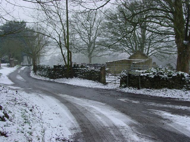
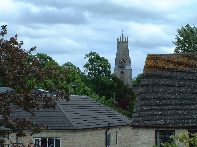
Besbury Common is a picturesque woodland area located in Gloucestershire, England. Covering an expansive area, it is considered one of the most stunning and ecologically diverse woodlands in the region. The common is situated near the village of Besbury, which adds to its charm and accessibility.

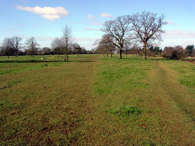
The woodland is primarily composed of ancient oak and beech trees, creating a dense canopy that filters sunlight and provides a cool and tranquil atmosphere. The forest floor is covered with a rich carpet of mosses, ferns, and wildflowers, adding to the beauty and biodiversity of the area.

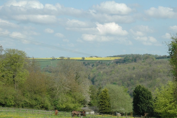
Besbury Common is home to a variety of wildlife species, including deer, foxes, badgers, and numerous bird species. Nature enthusiasts and birdwatchers flock to the area to catch a glimpse of the rare and elusive species that inhabit the woodland.

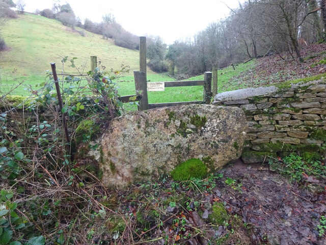
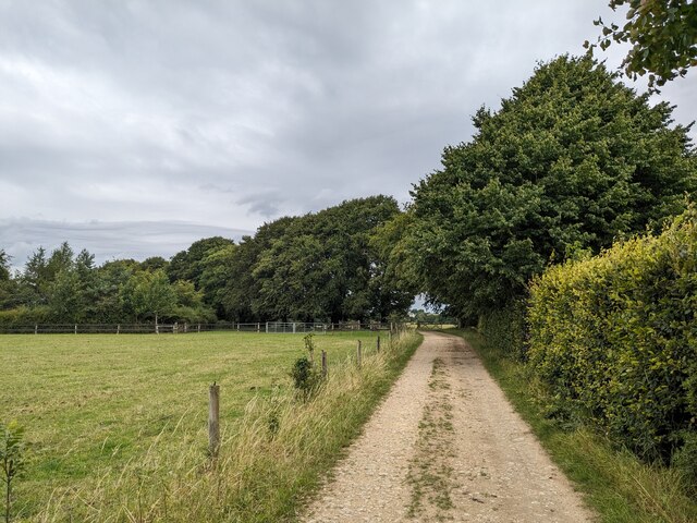
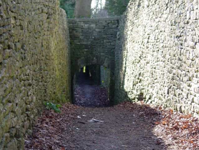
For visitors looking to explore the common, there are several walking trails and footpaths that wind through the forest. These paths offer breathtaking views of the surrounding landscape, and there are designated picnic areas where visitors can stop and enjoy a packed lunch amidst the natural beauty.

The common is managed by local conservation organizations that work tirelessly to protect and preserve its unique ecosystem. They undertake regular maintenance activities to ensure the health and longevity of the trees, as well as to control invasive species that may threaten the native flora and fauna.

Overall, Besbury Common is a hidden gem in Gloucestershire, offering visitors a chance to immerse themselves in the enchanting beauty of a thriving woodland ecosystem.

If you have any feedback on the listing, please let us know in the comments section below.

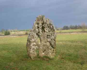
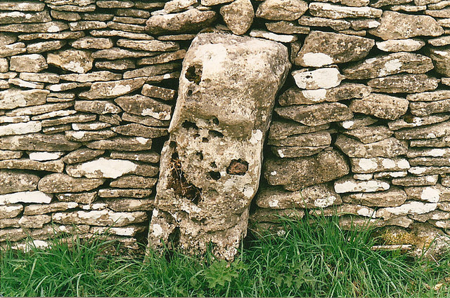
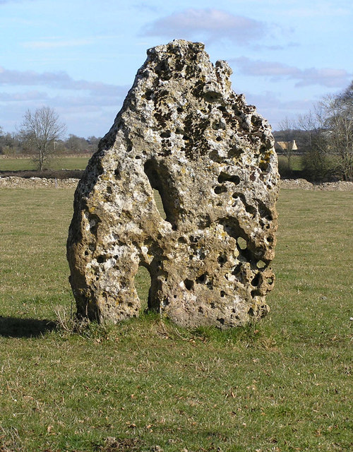
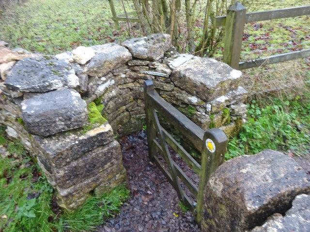
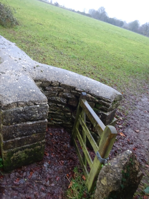
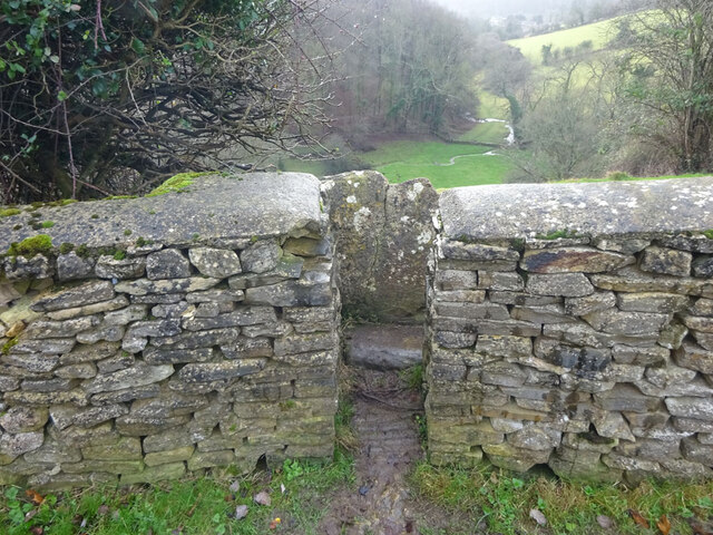
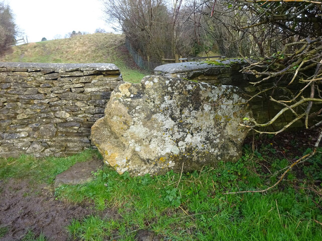
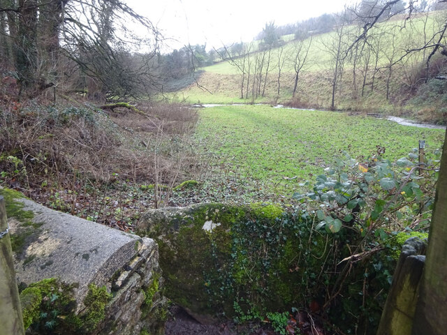
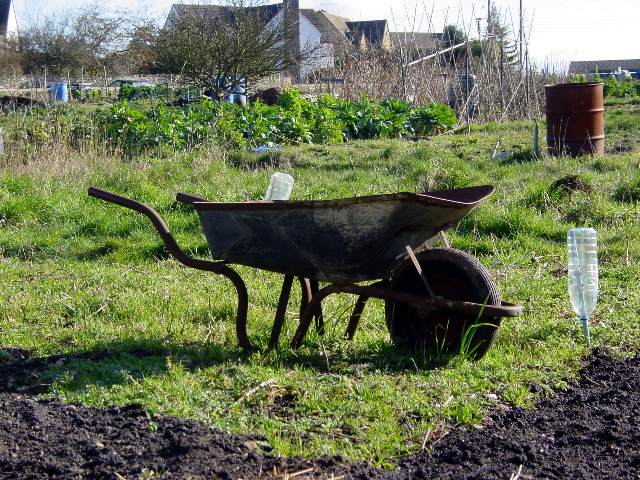
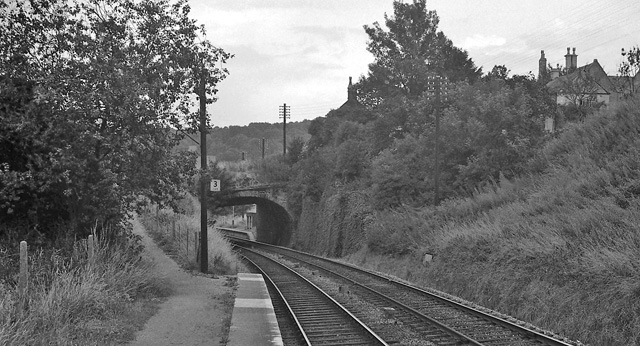
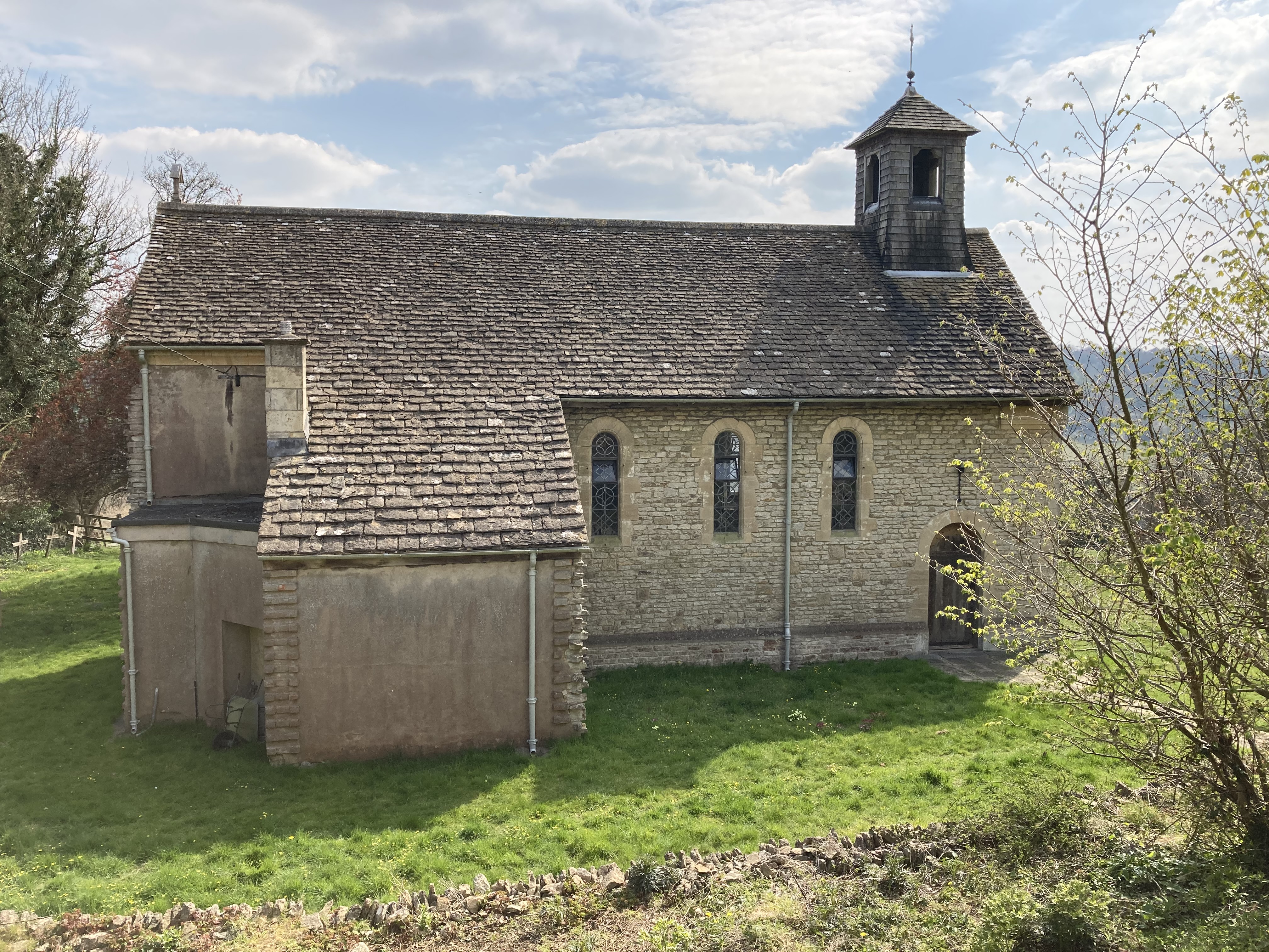
Besbury Common Images

Images are sourced within 2km of 51.711993/-2.1812174 or Grid Reference SO8701. Thanks to Geograph Open Source API. All images are credited.

Minchinhampton Long Stone The stone usually sits in a field of corn and is within a few metres of the roadside but there is no information provided as to its provenance.
Minchinhampton Long Stone
The stone usually sits in a field of corn and is within a few metres of the roadside but there is no information provided as to its provenance.
Standing Stone in Drystone wall. This sits unnoticed in the wall.
Standing Stone in Drystone wall.
This sits unnoticed in the wall.
Long Stone The Long Stone is believed to be the closing slab from a burial chamber or portal dolmen. A smaller stone can be seen in the field wall approximately  30m away. This may also have come from the same chambered tomb. 

The stone is located on the Minchinhampton to Avening road about half a mile from Hollybush Farm. It is set just off the road with easy access.
Long Stone
The Long Stone is believed to be the closing slab from a burial chamber or portal dolmen. A smaller stone can be seen in the field wall approximately 30m away. This may also have come from the same chambered tomb. The stone is located on the Minchinhampton to Avening road about half a mile from Hollybush Farm. It is set just off the road with easy access.
Abandoned digger, Minchinhampton Looks like this machine has not done much work for a while.  In the distance is part of Gatcombe Wood.
Abandoned digger, Minchinhampton
Looks like this machine has not done much work for a while. In the distance is part of Gatcombe Wood.
Stone Kissing Gate Leading from Box towards equine fields.
Stone Kissing Gate
Leading from Box towards equine fields.
Stone Kissing Gate Between fields on the equine establishment.
Stone Kissing Gate
Between fields on the equine establishment.
Stone Stile, Minchinhampton Looking South to a steep escarpment beyond. The view looking up is <a href="https://www.geograph.org.uk/photo/7057420">ST8799 : Stone Stile, Minchinhampton</a>. This Gloucestershire footpath (MMH101) leads all the way to Longfords Mill.
Stone Stile, Minchinhampton
Looking South to a steep escarpment beyond. The view looking up is ST8799 : Stone Stile, Minchinhampton. This Gloucestershire footpath (MMH101) leads all the way to Longfords Mill.
Stone Stile, Minchinhampton Looking North with a steep escarpment to the rear. The view looking down is <a href="https://www.geograph.org.uk/photo/7057415">ST8799 : Stone Stile, Minchinhampton</a>. This Gloucestershire footpath (MMH101) leads all the way to Longfords Mill from Chapel Lane.
Stone Stile, Minchinhampton
Looking North with a steep escarpment to the rear. The view looking down is ST8799 : Stone Stile, Minchinhampton. This Gloucestershire footpath (MMH101) leads all the way to Longfords Mill from Chapel Lane.
Stone Stile, Minchinhampton Looking SW with Gatcombe Wood on the left on Gloucestershire footpaths MMH101 & MMH102. The view looking NE to the escarpment is <a href="https://www.geograph.org.uk/photo/7057466">ST8799 : Stone Stile, Minchinhampton</a>.
Stone Stile, Minchinhampton
Looking SW with Gatcombe Wood on the left on Gloucestershire footpaths MMH101 & MMH102. The view looking NE to the escarpment is ST8799 : Stone Stile, Minchinhampton.
Stone Stile, Minchinhampton Looking NE to the escarpment with Gatcombe Wood behind, on Gloucestershire footpaths MMH101 & MMH102. The view looking SW is <a href="https://www.geograph.org.uk/photo/7057463">ST8799 : Stone Stile, Minchinhampton</a>.
Stone Stile, Minchinhampton
Looking NE to the escarpment with Gatcombe Wood behind, on Gloucestershire footpaths MMH101 & MMH102. The view looking SW is ST8799 : Stone Stile, Minchinhampton.
Footpath by Gatcombe Farm
The Footpath near Cuckoo Row
Burleigh Lane
Burleigh Lane
Friday Street allotments
The Park, Minchinhampton
Church over the suburban roof-tops Minchinhampton is at the top of the hill and is subject to gales, there was a church spire, but it blew down so now it has a tow-ire
Church over the suburban roof-tops
Minchinhampton is at the top of the hill and is subject to gales, there was a church spire, but it blew down so now it has a tow-ire
Taken near Brownshill looking SE across the Golden Valley Brownshill, Bussage and Eastcombe sit on the Cotswold Hills above the Golden and Toadsmoor valleys. The villages sit on the side of the valleys while horses and fields of rape populate the tops of the hills.
Taken near Brownshill looking SE across the Golden Valley
Brownshill, Bussage and Eastcombe sit on the Cotswold Hills above the Golden and Toadsmoor valleys. The villages sit on the side of the valleys while horses and fields of rape populate the tops of the hills.
Brimscombe Mill This is the highest I have ever seen the Frome. The bench on the left should be on an island between the millrace and the weir, but is now in the middle of the river! The ground floor of the mill was flooded.
Brimscombe Mill
This is the highest I have ever seen the Frome. The bench on the left should be on an island between the millrace and the weir, but is now in the middle of the river! The ground floor of the mill was flooded.
Show me another place!

Besbury Common is located at Grid Ref: SO8701 (Lat: 51.711993, Lng: -2.1812174)

Administrative County: Gloucestershire

District: Stroud

Police Authority: Gloucestershire

What 3 Words

///engulfing.difficult.saves. Near Minchinhampton, Gloucestershire

Related Wikis

Nearby Amenities

Located within 500m of 51.711993,-2.1812174
Turning Circle
Lat/Long: 51.7080922/-2.1799347
Post Box
Collection Times: Mo-Fr 17:00; Sa 10:00; Su off
Operator: Royal Mail
Operator Wikidata: Q638098
Post Box Type: pillar
Ref: GL6 115
Royal Cypher: EIIR
Royal Cypher Wikidata: Q33102113
Lat/Long: 51.7079008/-2.1824106
Barrier: cattle_grid
Lat/Long: 51.7083684/-2.1806243
Barrier: cattle_grid
Lat/Long: 51.7091369/-2.1775164
Bus Stop
The Tynings
Bus: yes
Naptan AtcoCode: 1600GL525
Naptan Bearing: E
Naptan CommonName: The Tynings
Naptan NaptanCode: glodjpga
Naptan Street: Cirencester Rd
Naptan Verified: no
Public Transport: platform
Source: naptan_import
Tactile Paving: no
Lat/Long: 51.7089315/-2.1808287
Bus Stop
The Tynings
Bus: yes
Naptan AtcoCode: 1600GL526
Naptan Bearing: W
Naptan CommonName: The Tynings
Naptan Indicator: Opp
Naptan NaptanCode: glodjpdw
Naptan Street: Cirencester Rd
Naptan Verified: no
Public Transport: platform
Source: naptan_import
Tactile Paving: no
Lat/Long: 51.7088511/-2.180311
Bus Stop
Butt St
Bus: yes
Naptan AtcoCode: 1600GLS217
Naptan Bearing: E
Naptan CommonName: Butt St
Naptan Indicator: Opp
Naptan NaptanCode: glodjpaj
Naptan Street: Summersfield Rd
Naptan Verified: no
Public Transport: platform
Source: naptan_import
Tactile Paving: no
Lat/Long: 51.7078455/-2.182006
Bus Stop
Butt St
Bus: yes
Naptan AtcoCode: 1600GLS218
Naptan Bearing: W
Naptan CommonName: Butt St
Naptan NaptanCode: glodjpam
Naptan Street: Summersfield Rd
Naptan Verified: no
Public Transport: platform
Source: naptan_import
Tactile Paving: no
Lat/Long: 51.7077828/-2.1819045
Bus Stop
Blue Boys Corner
Bench: no
Bin: yes
Bus: yes
Naptan AtcoCode: 1600GLS219
Naptan Bearing: N
Naptan CommonName: Blue Boys Corner
Naptan NaptanCode: glodjmwt
Naptan Street: Butt St
Naptan Verified: no
Public Transport: platform
Shelter: yes
Source: naptan_import
Lat/Long: 51.7084651/-2.1825585
Bus Stop
Blue Boys Corner
Bench: no
Bin: yes
Bus: yes
Naptan AtcoCode: 1600GLS220
Naptan Bearing: S
Naptan CommonName: Blue Boys Corner
Naptan NaptanCode: glodjpag
Naptan Street: Butt St
Naptan Verified: no
Public Transport: platform
Shelter: yes
Source: naptan_import
Lat/Long: 51.7084293/-2.1824426
The Knapp
Place: hamlet
Lat/Long: 51.7160002/-2.1792177
Power: pole
Lat/Long: 51.712856/-2.1875456
Power: pole
Lat/Long: 51.7132928/-2.1747937
Power: pole
Lat/Long: 51.7130005/-2.1751853
Bench
Source: survey
Lat/Long: 51.7115747/-2.1847824
Addr Housenumber: 3
Addr Street: The Tynings
Survey Date: 2018-11-13
Lat/Long: 51.7092354/-2.1810317
Addr Housenumber: 4
Addr Street: The Tynings
Survey Date: 2018-11-13
Lat/Long: 51.7091863/-2.1810281
Addr Housenumber: 1
Addr Street: The Tynings
Survey Date: 2018-11-13
Lat/Long: 51.7093352/-2.1810389
Addr Housenumber: 2
Addr Street: The Tynings
Survey Date: 2018-11-13
Lat/Long: 51.7092896/-2.1810356
Addr Housenumber: 9
Addr Street: The Tynings
Survey Date: 2018-11-13
Lat/Long: 51.7096348/-2.1800523
Addr Housenumber: 10
Addr Street: The Tynings
Survey Date: 2018-11-13
Lat/Long: 51.7095376/-2.1800404
Addr Housenumber: 8
Addr Street: The Tynings
Survey Date: 2018-11-13
Lat/Long: 51.7097342/-2.180055
Addr Housename: Woodbine Cottage
Lat/Long: 51.708726/-2.1807325
Hayleaze Bed & Breakfast
Addr Housename: Hayleaze
Contact Website: http://www.hayleaze.co.uk/
Tourism: guest_house
Lat/Long: 51.7083927/-2.1791332
Power: pole
Lat/Long: 51.7137567/-2.1759152
Power: pole
Lat/Long: 51.7142536/-2.1770847
Barrier: cattle_grid
Lat/Long: 51.7145783/-2.1782814
Power: pole
Lat/Long: 51.7150347/-2.1788774
Power: pole
Lat/Long: 51.7154477/-2.1799063
Power: pole
Lat/Long: 51.7161487/-2.1784571
Generator Method: photovoltaic
Generator Output Electricity: yes
Generator Source: solar
Generator Type: solar_photovoltaic_panel
Location: roof
Power: generator
Lat/Long: 51.7078692/-2.1784674
Generator Method: photovoltaic
Generator Output Electricity: yes
Generator Source: solar
Generator Type: solar_photovoltaic_panel
Location: roof
Power: generator
Lat/Long: 51.707937/-2.1784922
Generator Method: photovoltaic
Generator Output Electricity: yes
Generator Source: solar
Generator Type: solar_photovoltaic_panel
Location: roof
Power: generator
Lat/Long: 51.7079976/-2.1784969
Generator Method: photovoltaic
Generator Output Electricity: yes
Generator Source: solar
Generator Type: solar_photovoltaic_panel
Location: roof
Power: generator
Lat/Long: 51.7080807/-2.1785297
Generator Method: photovoltaic
Generator Output Electricity: yes
Generator Source: solar
Generator Type: solar_photovoltaic_panel
Location: roof
Power: generator
Lat/Long: 51.7080815/-2.1785746
Generator Method: photovoltaic
Generator Output Electricity: yes
Generator Source: solar
Generator Type: solar_photovoltaic_panel
Location: roof
Power: generator
Lat/Long: 51.7080021/-2.1787349
Generator Method: photovoltaic
Generator Output Electricity: yes
Generator Source: solar
Generator Type: solar_photovoltaic_panel
Location: roof
Power: generator
Lat/Long: 51.7079477/-2.1787376
Generator Method: photovoltaic
Generator Output Electricity: yes
Generator Source: solar
Generator Type: solar_photovoltaic_panel
Location: roof
Power: generator
Lat/Long: 51.7079598/-2.1788298
Generator Method: photovoltaic
Generator Output Electricity: yes
Generator Source: solar
Generator Type: solar_photovoltaic_panel
Location: roof
Power: generator
Lat/Long: 51.707946/-2.1789334
Generator Method: photovoltaic
Generator Output Electricity: yes
Generator Source: solar
Generator Type: solar_photovoltaic_panel
Location: roof
Power: generator
Lat/Long: 51.707946/-2.1790078
Generator Method: photovoltaic
Generator Output Electricity: yes
Generator Source: solar
Generator Type: solar_photovoltaic_panel
Location: roof
Power: generator
Lat/Long: 51.707946/-2.1790836
Generator Method: photovoltaic
Generator Output Electricity: yes
Generator Source: solar
Generator Type: solar_photovoltaic_panel
Location: roof
Power: generator
Lat/Long: 51.707946/-2.1791701
Generator Method: photovoltaic
Generator Output Electricity: yes
Generator Source: solar
Generator Type: solar_photovoltaic_panel
Location: roof
Power: generator
Lat/Long: 51.707946/-2.1792479
Generator Method: photovoltaic
Generator Output Electricity: yes
Generator Source: solar
Generator Type: solar_photovoltaic_panel
Location: roof
Power: generator
Lat/Long: 51.7077088/-2.1794738
Generator Method: photovoltaic
Generator Output Electricity: yes
Generator Source: solar
Generator Type: solar_photovoltaic_panel
Location: roof
Power: generator
Lat/Long: 51.7082818/-2.1782568
Generator Method: photovoltaic
Generator Output Electricity: yes
Generator Source: solar
Generator Type: solar_photovoltaic_panel
Location: roof
Power: generator
Lat/Long: 51.7085577/-2.1811965
Generator Method: photovoltaic
Generator Output Electricity: yes
Generator Source: solar
Generator Type: solar_photovoltaic_panel
Location: roof
Power: generator
Lat/Long: 51.7085386/-2.1811241
Generator Method: photovoltaic
Generator Output Electricity: yes
Generator Source: solar
Generator Type: solar_photovoltaic_panel
Location: roof
Power: generator
Lat/Long: 51.7085041/-2.1810564
Generator Method: photovoltaic
Generator Output Electricity: yes
Generator Source: solar
Generator Type: solar_photovoltaic_panel
Location: roof
Power: generator
Lat/Long: 51.7084854/-2.1809934
Generator Method: photovoltaic
Generator Output Electricity: yes
Generator Source: solar
Generator Type: solar_photovoltaic_panel
Location: roof
Power: generator
Lat/Long: 51.7084563/-2.1809162
Generator Method: photovoltaic
Generator Output Electricity: yes
Generator Source: solar
Generator Type: solar_photovoltaic_panel
Location: roof
Power: generator
Lat/Long: 51.7084218/-2.1808552
Generator Method: photovoltaic
Generator Output Electricity: yes
Generator Source: solar
Generator Type: solar_photovoltaic_panel
Location: roof
Power: generator
Lat/Long: 51.7084002/-2.1807801
Generator Method: photovoltaic
Generator Output Electricity: yes
Generator Source: solar
Generator Type: solar_photovoltaic_panel
Location: roof
Power: generator
Lat/Long: 51.7084459/-2.1807446
Generator Method: photovoltaic
Generator Output Electricity: yes
Generator Source: solar
Generator Type: solar_photovoltaic_panel
Location: roof
Power: generator
Lat/Long: 51.7092013/-2.1800398
Generator Method: photovoltaic
Generator Output Electricity: yes
Generator Source: solar
Generator Type: solar_photovoltaic_panel
Location: roof
Power: generator
Lat/Long: 51.7091407/-2.1800318
Generator Method: photovoltaic
Generator Output Electricity: yes
Generator Source: solar
Generator Type: solar_photovoltaic_panel
Location: roof
Power: generator
Lat/Long: 51.7090655/-2.1800123
Generator Method: photovoltaic
Generator Output Electricity: yes
Generator Source: solar
Generator Type: solar_photovoltaic_panel
Location: roof
Power: generator
Lat/Long: 51.7090199/-2.1799697
Generator Method: photovoltaic
Generator Output Electricity: yes
Generator Source: solar
Generator Type: solar_photovoltaic_panel
Location: roof
Power: generator
Lat/Long: 51.7090688/-2.1802604
Generator Method: photovoltaic
Generator Output Electricity: yes
Generator Source: solar
Generator Type: solar_photovoltaic_panel
Location: roof
Power: generator
Lat/Long: 51.7090147/-2.1802537
Generator Method: photovoltaic
Generator Output Electricity: yes
Generator Source: solar
Generator Type: solar_photovoltaic_panel
Location: roof
Power: generator
Lat/Long: 51.7090097/-2.1803623
Generator Method: photovoltaic
Generator Output Electricity: yes
Generator Source: solar
Generator Type: solar_photovoltaic_panel
Location: roof
Power: generator
Lat/Long: 51.7090077/-2.1804201
Generator Method: photovoltaic
Generator Output Electricity: yes
Generator Source: solar
Generator Type: solar_photovoltaic_panel
Location: roof
Power: generator
Lat/Long: 51.7090064/-2.1805179
Generator Method: photovoltaic
Generator Output Electricity: yes
Generator Source: solar
Generator Type: solar_photovoltaic_panel
Location: roof
Power: generator
Lat/Long: 51.7090596/-2.1805232
Generator Method: photovoltaic
Generator Output Electricity: yes
Generator Source: solar
Generator Type: solar_photovoltaic_panel
Location: roof
Power: generator
Lat/Long: 51.7091896/-2.1810583
Generator Method: photovoltaic
Generator Output Electricity: yes
Generator Source: solar
Generator Type: solar_photovoltaic_panel
Location: roof
Power: generator
Lat/Long: 51.7092366/-2.1810615
Generator Method: photovoltaic
Generator Output Electricity: yes
Generator Source: solar
Generator Type: solar_photovoltaic_panel
Location: roof
Power: generator
Lat/Long: 51.7092894/-2.1810651
Generator Method: photovoltaic
Generator Output Electricity: yes
Generator Source: solar
Generator Type: solar_photovoltaic_panel
Location: roof
Power: generator
Lat/Long: 51.7105974/-2.1854559
Power: pole
Lat/Long: 51.7158573/-2.1808639
Give Way
Direction: backward
Lat/Long: 51.7078383/-2.1824345
Give Way
Direction: backward
Lat/Long: 51.7087905/-2.1824194
Stop
Direction: backward
Lat/Long: 51.7088635/-2.1823662
Give Way
Direction: backward
Lat/Long: 51.7088269/-2.1816928
Give Way
Direction: backward
Lat/Long: 51.7089295/-2.1806896
Barrier: stile
Material: metal
Stile: stepover
Lat/Long: 51.7114358/-2.1864748
Barrier: stile
Material: wood
Stile: stepover
Lat/Long: 51.7122928/-2.1820011
Barrier: cattle_grid
Lat/Long: 51.7082422/-2.1798763
Barrier: cattle_grid
Lat/Long: 51.7081451/-2.1786969
Barrier: cattle_grid
Lat/Long: 51.7089801/-2.1806942
Fire Hydrant
Emergency: fire_hydrant
Fire Hydrant Diameter: 75
Fire Hydrant Position: sidewalk
Fire Hydrant Type: underground
Lat/Long: 51.7084098/-2.1804395
Barrier: cattle_grid
Lat/Long: 51.7090991/-2.1767598
Barrier: cattle_grid
Lat/Long: 51.7088743/-2.1785495
Addr Housenumber: 3
Addr Street: Syon Road
Addr Village: Minchinhampton
Lat/Long: 51.7075185/-2.180607
Blueboys Garage
Contact Phone: +44 1453 882668
Contact Website: https://carservicingstroud.com/
Shop: car_repair
Lat/Long: 51.7085967/-2.1807181
The data included in this document is from www.openstreetmap.org. The data is made available under ODbL.

Have you been to Besbury Common?

Leave your review of Besbury Common below (or comments, questions and feedback).