Gin Wood

Wood, Forest in Lancashire Burnley

England

Gin Wood

Footpaths at Pike Hill Open space attached to Rowley Lake which has been developed by Burnley Borough Council as an attractive woodland leisure area.
Footpaths at Pike Hill Credit: Bill Boaden

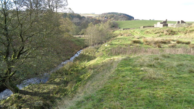
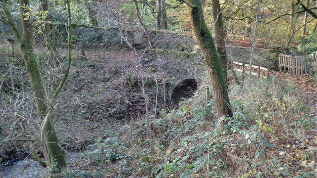
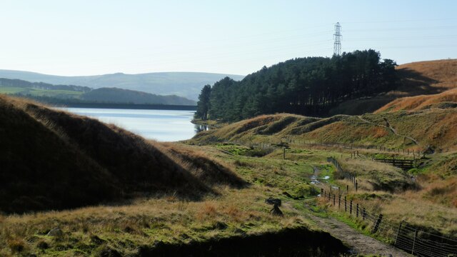
Gin Wood is a small woodland area located in the county of Lancashire, England. Situated near the village of Wood, it is known for its picturesque beauty and tranquil atmosphere. The wood is part of a larger forested area, providing a habitat for a diverse range of flora and fauna.

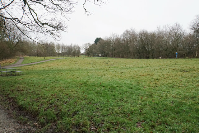
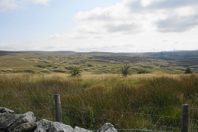
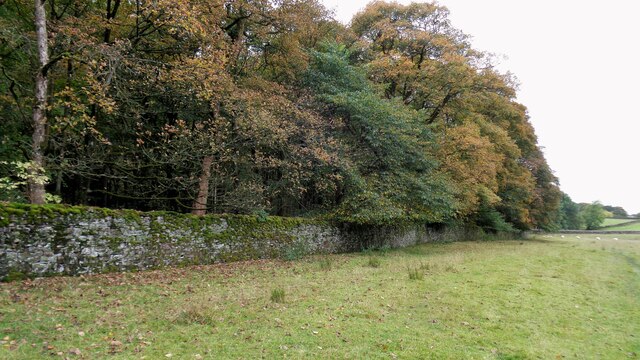
Covering an approximate area of 50 acres, Gin Wood is predominantly made up of deciduous trees such as oak, beech, and birch. These trees create a dense canopy, allowing only dappled sunlight to filter through to the forest floor. This creates a unique and enchanting ambiance, making it a popular destination for nature lovers and walkers.

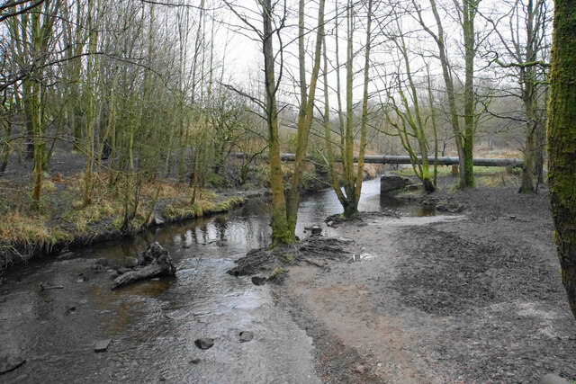
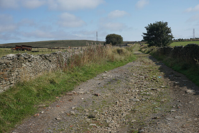
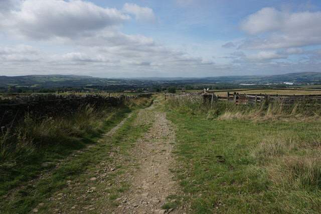
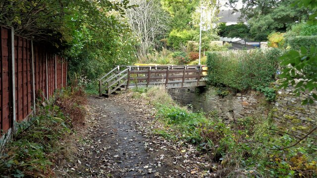
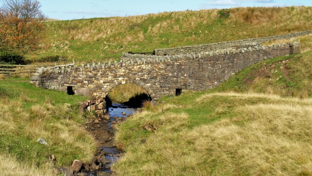
The woodland is intersected by a network of footpaths, enabling visitors to explore its various nooks and crannies. These paths wind through the trees, leading to hidden clearings and serene ponds. The area is also home to a variety of wildlife, including squirrels, foxes, and numerous species of birds.

Gin Wood has a rich history, with records dating back several centuries. In the past, it was utilized for timber production and as a hunting ground for the local nobility. Today, it is protected as a Site of Special Scientific Interest (SSSI) due to its ecological importance.

Whether it be for a leisurely stroll, birdwatching, or simply enjoying the tranquility of nature, Gin Wood offers a peaceful retreat for visitors seeking respite from the hustle and bustle of modern life.

If you have any feedback on the listing, please let us know in the comments section below.

Gin Wood Images

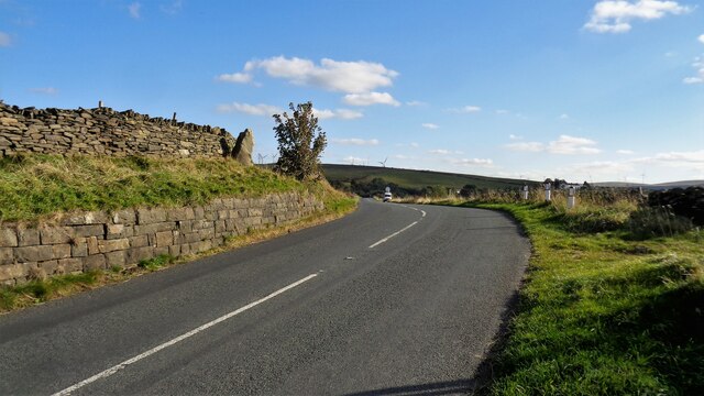
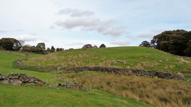
Images are sourced within 2km of 53.778545/-2.1850799 or Grid Reference SD8731. Thanks to Geograph Open Source API. All images are credited.

Footpaths at Pike Hill Open space attached to Rowley Lake which has been developed by Burnley Borough Council as an attractive woodland leisure area.
Footpaths at Pike Hill
Open space attached to Rowley Lake which has been developed by Burnley Borough Council as an attractive woodland leisure area.
River Brun above Rowley Lake Looking upstream from the circular path around the lake.
River Brun above Rowley Lake
Looking upstream from the circular path around the lake.
Limestone Hushings Landscape On the east bank of Hurstwood Reservoir
Limestone Hushings Landscape
On the east bank of Hurstwood Reservoir
Cant Clough With the remains of Hey Laithe on the right in this view
Cant Clough
With the remains of Hey Laithe on the right in this view
Foxstones Bridge Over the infant River Brun
Foxstones Bridge
Over the infant River Brun
Millers Green A new housing development on the edge of Worsthorne. The green gap between Worsthorne and the Burnley conurbation is getting smaller.
Millers Green
A new housing development on the edge of Worsthorne. The green gap between Worsthorne and the Burnley conurbation is getting smaller.
Gorple Road The road has become a track continuing across the Pennines.
Gorple Road
The road has become a track continuing across the Pennines.
Gorple Road Heading straight down towards Worsthorne. The view extends from Crown Point and Great Hameldon on the left round to Pendle and Pen-y-Ghent which are out of this image on the right.
Gorple Road
Heading straight down towards Worsthorne. The view extends from Crown Point and Great Hameldon on the left round to Pendle and Pen-y-Ghent which are out of this image on the right.
The results of quarrying above Hurstwood Reservoir Scarring on the hillside viewed from Gorple Road.
The results of quarrying above Hurstwood Reservoir
Scarring on the hillside viewed from Gorple Road.
Burnley Way Footbridge Crosses the River Calder to give access to Park Road
Burnley Way Footbridge
Crosses the River Calder to give access to Park Road
Rebuilt bridge across Shedden Clough Used by the Pennine Bridleway and the Burnley Way
Rebuilt bridge across Shedden Clough
Used by the Pennine Bridleway and the Burnley Way
Work at Middle Pasture Farm Is it renovation work?
Work at Middle Pasture Farm
Is it renovation work?
The Long Causeway at Stump Cross The way marking stone known as Stump Cross is at the top of the roadside embankment on the bend. This stone has not been dressed unlike the Mount Cross which is further along this ancient route
The Long Causeway at Stump Cross
The way marking stone known as Stump Cross is at the top of the roadside embankment on the bend. This stone has not been dressed unlike the Mount Cross which is further along this ancient route
Round Hill There are earthworks marked on the OS map for the hill. There are surface stones visible in that area. More remarkable are the large monoliths built into the field walls around this area and perhaps they had been in the earthworks in times past.
Round Hill
There are earthworks marked on the OS map for the hill. There are surface stones visible in that area. More remarkable are the large monoliths built into the field walls around this area and perhaps they had been in the earthworks in times past.
Estate Walling to Ormerod House The substantial walling encloses the River Brun within the private estate, so this path along the valley has no view of the river.
Estate Walling to Ormerod House
The substantial walling encloses the River Brun within the private estate, so this path along the valley has no view of the river.
New Housing (The Calders) Off Red Lees Road and causing the diversion of public footpaths
New Housing (The Calders)
Off Red Lees Road and causing the diversion of public footpaths
Hurstwood Brook Descending to Hurstwood Reservoir
Hurstwood Brook
Descending to Hurstwood Reservoir
Church Square The white rendered building is listed and was originally a block of six back to back houses, but is now 3 mixed use properties.
Church Square
The white rendered building is listed and was originally a block of six back to back houses, but is now 3 mixed use properties.
Show me another place!

Gin Wood is located at Grid Ref: SD8731 (Lat: 53.778545, Lng: -2.1850799)

Administrative County: Lancashire

District: Burnley

Police Authority: Lancashire

What 3 Words

///leap.piles.spices. Near Burnley, Lancashire

Related Wikis

Fother Royd Wood

Fother Royd Wood is a woodland in Lancashire, England, near Worsthorne. It covers a total area of 1.03 hectares (2.55 acres). It is owned and managed by...

Hurstwood

Hurstwood is a rural hamlet on the eastern outskirts of Burnley in Lancashire, England. It is in the civil parish of Worsthorne-with-Hurstwood and the...

Worsthorne-with-Hurstwood

Worsthorne-with-Hurstwood is a civil parish in the Borough of Burnley, in Lancashire, England. Situated on the eastern outskirts of Burnley, in 2011 it...

Worsthorne

Worsthorne is a rural village on the eastern outskirts of Burnley in Lancashire, England. It is in the civil parish of Worsthorne-with-Hurstwood and the...

Nearby Amenities

Located within 500m of 53.778545,-2.1850799
Hurstwood
Is In: Burnley, Lancashire, England, UK
Place: hamlet
Source: npe
Lat/Long: 53.7792198/-2.1822354
Bench
Lat/Long: 53.7783598/-2.1812312
Post Box
Post Box Type: lamp
Lat/Long: 53.7783619/-2.1811829
Telephone
Booth: K6
Covered: booth
Listed Status: Grade II
Lat/Long: 53.7783672/-2.1811355
The data included in this document is from www.openstreetmap.org. The data is made available under ODbL.

Have you been to Gin Wood?

Leave your review of Gin Wood below (or comments, questions and feedback).