Clophill

Civil Parish in Bedfordshire

England

Clophill

A6 southbound on Deadman's Hill
A6 southbound on Deadman's Hill Credit: Colin Pyle

Clophill is a civil parish located in the county of Bedfordshire, England. Situated approximately 10 miles south of Bedford, it covers an area of around 1,130 acres. The village is set on a ridge, offering picturesque views of the surrounding countryside.

The history of Clophill dates back to the Roman period, with evidence of a settlement found in the area. The village is mentioned in the Domesday Book of 1086, where it is recorded as "Clophelle." Throughout the centuries, Clophill has remained a small, rural community with a population of around 1,200 residents.

One of the notable landmarks in the area is the Church of St. Mary the Virgin, which dates back to the 14th century. It is a Grade II* listed building known for its distinctive architecture and historical significance. The churchyard is also the final resting place of Sir William Vaux, a prominent figure during the reign of Queen Elizabeth I.

In recent years, Clophill has become a popular destination for tourism and outdoor activities. The village offers a range of amenities, including a local shop, a primary school, and a village hall. The surrounding countryside provides opportunities for walking, cycling, and enjoying nature.

Overall, Clophill is a charming and historic village that offers a peaceful and picturesque setting for residents and visitors alike.

If you have any feedback on the listing, please let us know in the comments section below.
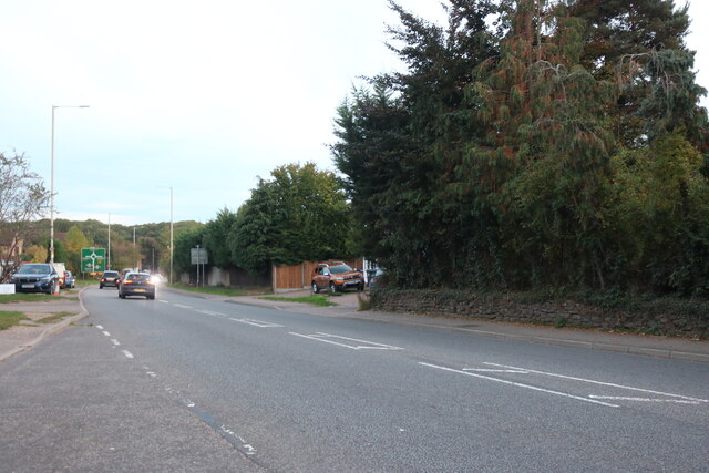
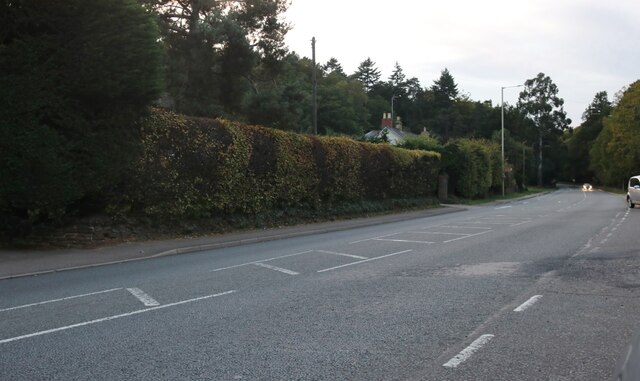
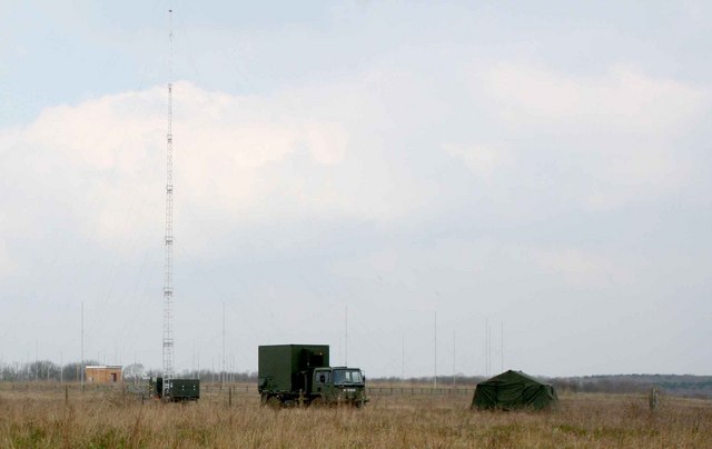
Clophill Images

Images are sourced within 2km of 52.034401/-0.408834 or Grid Reference TL0938. Thanks to Geograph Open Source API. All images are credited.

A6 southbound on Deadman's Hill
Bedford Road, Clophill
St Mary's Church, Clophill Built in 1849 to replace the old church, which became a mortuary chapel and then a ruin.  The lychgate is on the path into the memorial garden for cremations.
St Mary's Church, Clophill
Built in 1849 to replace the old church, which became a mortuary chapel and then a ruin. The lychgate is on the path into the memorial garden for cremations.
Great Lane, Clophill
Path from Great Lane to the Old Church, Clophill
Path from the Old Church to Great Lane, Clophill
The Old St Mary's Church, Clophill The gravestones have been tidied away, and there is a newer burial ground in an adjoining field.
The Old St Mary's Church, Clophill
The gravestones have been tidied away, and there is a newer burial ground in an adjoining field.
Timber-framed house, High Street, Clophill This was built in the 18C; it is listed, Grade II. To visit the Old Church, walk up the unsurfaced lane (public footpath) to the left.
Timber-framed house, High Street, Clophill
This was built in the 18C; it is listed, Grade II. To visit the Old Church, walk up the unsurfaced lane (public footpath) to the left.
Old Church Path, Clophill A barrier stops unauthorised vehicles from going as far as the church.
Old Church Path, Clophill
A barrier stops unauthorised vehicles from going as far as the church.
Old Church Path and thatched cottage, Clophill
Muddy path, Clophill I had hoped to have a quick visit to the next square, but I was not suitably shod to go through this horrible muddy patch.
Muddy path, Clophill
I had hoped to have a quick visit to the next square, but I was not suitably shod to go through this horrible muddy patch.
Eco lodges near the Old Church, Clophill These are for holiday lets, not residential.
Eco lodges near the Old Church, Clophill
These are for holiday lets, not residential.
Public footpath leaving a farm access track. Clophill From a nice dry surface to mud.
Public footpath leaving a farm access track. Clophill
From a nice dry surface to mud.
River Flit, Beadlow, Clophill, Beds a tributary of the River Ivel; view E towards Chicksands.
River Flit, Beadlow, Clophill, Beds
a tributary of the River Ivel; view E towards Chicksands.
Hotel, Beadlow This hotel is next to a golf course by the A507. I'm not sure if the hotel is actually open as it seemed a little deserted.
Hotel, Beadlow
This hotel is next to a golf course by the A507. I'm not sure if the hotel is actually open as it seemed a little deserted.
Cainhoe Manor Farm, Gravenhurst, Beds – entrance to the farmyard from Clophill Road.
Cainhoe Manor Farm, Gravenhurst, Beds
– entrance to the farmyard from Clophill Road.
Ministry of Defence facility MOD generator truck, tent and radio transmitter masts 84m above sea level.  To the right is a firing range.
Ministry of Defence facility
MOD generator truck, tent and radio transmitter masts 84m above sea level. To the right is a firing range.
Show me another place!

Clophill is located at Grid Ref: TL0938 (Lat: 52.034401, Lng: -0.408834)

Unitary Authority: Central Bedfordshire

Police Authority: Bedfordshire

What 3 Words

///messaging.ideal.pokers. Near Clophill, Bedfordshire

Nearby Locations

Clophill Pine Hill

Related Wikis

St Mary's Church, Clophill

The present St Mary's Church is located in the centre of the small village of Clophill, between Bedford and Luton in the South Midlands of England. The...

Cainhoe Castle

Cainhoe Castle was an 11th-century Norman castle, located near the village of Clophill, in the county of Bedfordshire, England. Cainhoe Castle was a motte...

Beadlow Priory

Beadlow Priory was a monastic foundation established between 1140 and 1146 by Robert D'Albini for a community of Benedictine monks. == History == Around...

Woburn Sands Formation

The Woburn Sands Formation is a geological formation in England. Part of the Lower Greensand Group, it is the only unit of the group where it occurs, and...

Nearby Amenities

Located within 500m of 52.034401,-0.408834
Barrier: kissing_gate
Bicycle: no
Foot: yes
Source: GPS
Lat/Long: 52.038639/-0.4091207
Pine Hill
Place: locality
Source: npe
Lat/Long: 52.0340575/-0.4051053
Fixme: Footpath route to be surveyed
Lat/Long: 52.0326273/-0.4099876
Turning Circle
Turning Circle: hammer
Lat/Long: 52.0324068/-0.4110381
Turning Circle
Turning Circle: circle
Lat/Long: 52.0318085/-0.4055782
Barrier: kissing_gate
Bicycle: yes
Foot: yes
Lat/Long: 52.0356667/-0.4101085
Barrier: kissing_gate
Bicycle: yes
Foot: yes
Lat/Long: 52.0363934/-0.4128919
Fixme: Bridleway route to be surveyed
Lat/Long: 52.0338646/-0.4094281
Board Type: history
Information: board
Tourism: information
Lat/Long: 52.0369645/-0.4099859
Post Box
Collection Times: Mo-Fr 17:00; Sa 12:30
Operator: Royal Mail
Post Box Type: lamp
Ref: MK45 224
Royal Cypher: EIIR
Royal Cypher Wikidata: Q33102113
Source: survey
Survey Date: 2016-12-12
Lat/Long: 52.0315263/-0.4099884
Man Made: tower
Lat/Long: 52.0373405/-0.4097156
Restaurant
The Clophill Centre for Complimentary Therapies
Addr City: Clophill
Addr Country: GB
Addr Housename: Clophill Fruit Farm
Addr Postcode: MK45 4BT
Addr Street: Shefford Road
Contact Facebook: https://www.facebook.com/theclophillcentre/
Email: info@clophillcentre.co.uk
Fhrs Authority: Central Bedfordshire
Fhrs Id: 1038471
Fhrs Local Authority Id: 2258
Internet Access: wlan
Phone: +44 1525 862278
Website: https://clophillcentre.co.uk/
Lat/Long: 52.0329433/-0.402271
Direction: 165
Generator Method: photovoltaic
Generator Output Electricity: yes
Generator Solar Modules: 16
Generator Source: solar
Generator Type: solar_photovoltaic_panel
Location: roof
Power: generator
Lat/Long: 52.0310375/-0.412684
Direction: 160
Generator Method: photovoltaic
Generator Output Electricity: yes
Generator Solar Modules: 9
Generator Source: solar
Generator Type: solar_photovoltaic_panel
Location: roof
Power: generator
Lat/Long: 52.031269/-0.4114666
Direction: 70
Generator Method: photovoltaic
Generator Output Electricity: yes
Generator Solar Modules: 7
Generator Source: solar
Generator Type: solar_photovoltaic_panel
Location: roof
Power: generator
Lat/Long: 52.0312319/-0.4114731
Direction: 250
Generator Method: photovoltaic
Generator Output Electricity: yes
Generator Solar Modules: 14
Generator Source: solar
Generator Type: solar_photovoltaic_panel
Location: roof
Power: generator
Lat/Long: 52.0325258/-0.4095393
Direction: 175
Generator Method: photovoltaic
Generator Output Electricity: yes
Generator Solar Modules: 14
Generator Source: solar
Generator Type: solar_photovoltaic_panel
Location: roof
Power: generator
Lat/Long: 52.0312803/-0.4096349
Turning Circle
Turning Circle: knuckle
Lat/Long: 52.0319236/-0.4046913
Direction: 170
Generator Method: photovoltaic
Generator Output Electricity: yes
Generator Solar Modules: 16
Generator Source: solar
Generator Type: solar_photovoltaic_panel
Location: roof
Power: generator
Lat/Long: 52.0323698/-0.4132069
Direction: 145
Generator Method: photovoltaic
Generator Output Electricity: yes
Generator Solar Modules: 16
Generator Source: solar
Generator Type: solar_photovoltaic_panel
Location: roof
Power: generator
Lat/Long: 52.0331541/-0.413791
Direction: 235
Generator Method: photovoltaic
Generator Output Electricity: yes
Generator Solar Modules: 16
Generator Source: solar
Generator Type: solar_photovoltaic_panel
Location: roof
Power: generator
Lat/Long: 52.034569/-0.4148251
Historic: memorial
Memorial: war_memorial
Lat/Long: 52.0313988/-0.4123937
The data included in this document is from www.openstreetmap.org. The data is made available under ODbL.

Have you been to Clophill?

Leave your review of Clophill below (or comments, questions and feedback).