Cawthorne
Civil Parish in Yorkshire Barnsley
England
Cawthorne
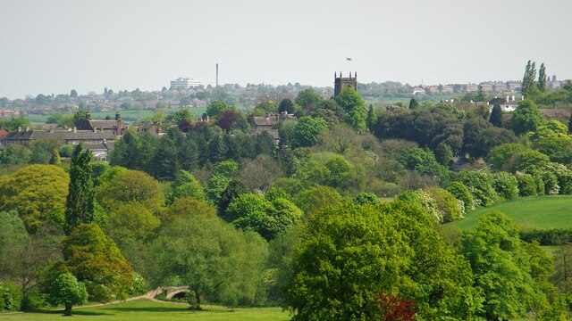
Cawthorne is a small civil parish located in the metropolitan borough of Barnsley, South Yorkshire, England. Situated approximately 7 miles south of Barnsley town center, the village is nestled in the picturesque countryside of the Yorkshire Pennines.
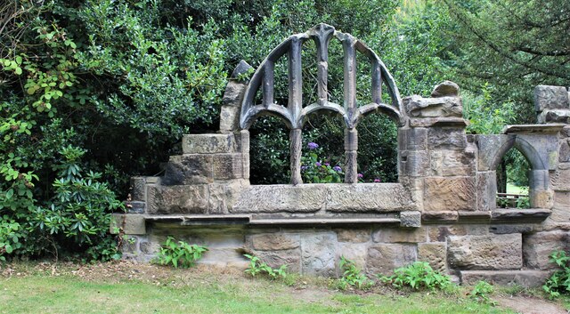
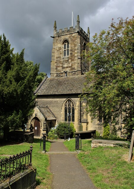
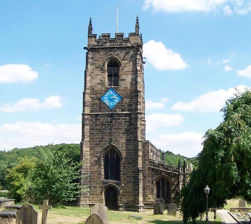
The village of Cawthorne has a rich history, with evidence of settlements dating back to the Roman period. The name "Cawthorne" is derived from the Old Scandinavian language, meaning "cold stream." The village is characterized by its charming stone-built houses, many of which date back to the 17th and 18th centuries. The historic All Saints Church, which dates back to the 14th century, stands as a prominent landmark in the village.
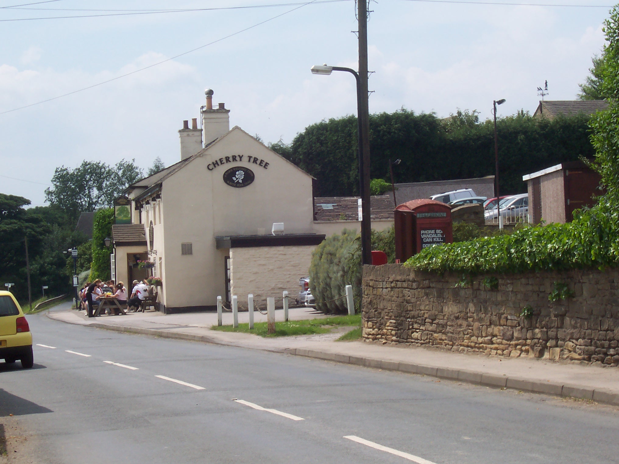
Cawthorne is known for its thriving community spirit, with various local organizations and groups actively involved in village life. The village has a primary school, a post office, a village hall, and a community shop, catering to the needs of its residents.
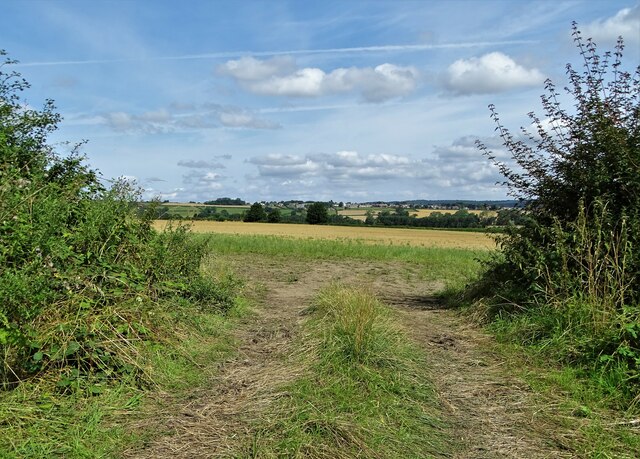
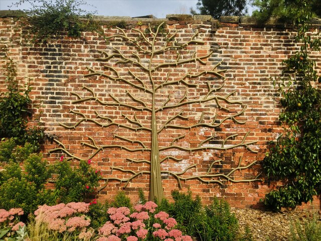
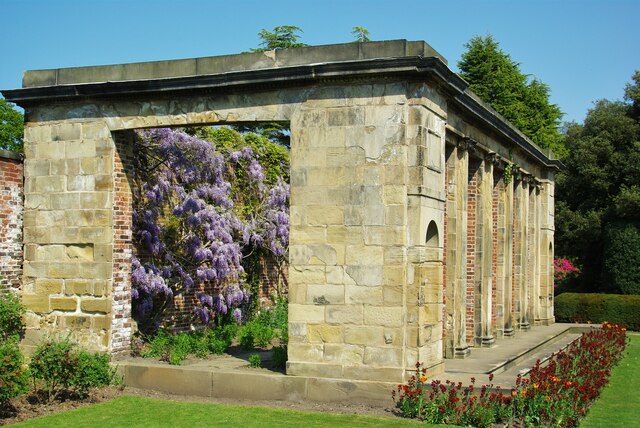
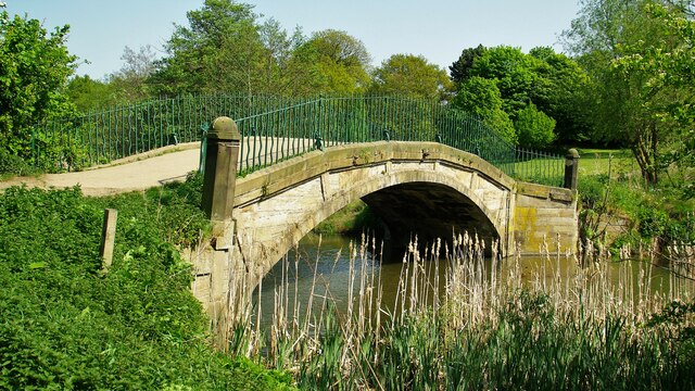
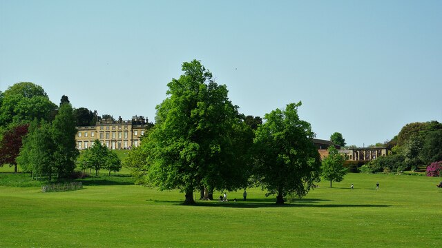
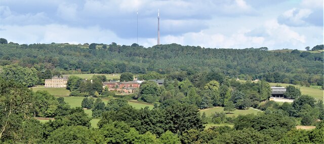
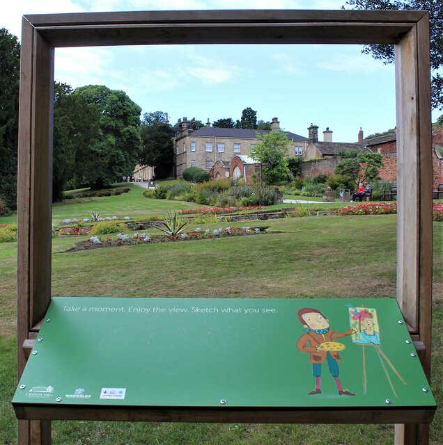
The surrounding countryside offers plenty of opportunities for outdoor activities, with numerous walking and cycling routes available. The nearby Cannon Hall Country Park, a stately home surrounded by beautiful parkland, provides a popular destination for locals and visitors alike.
Cawthorne hosts several annual events, including the Cawthorne Village Gala and the Cawthorne Scarecrow Festival, which attracts visitors from far and wide. Overall, Cawthorne is a charming village that combines its rich history with a thriving community and beautiful countryside, making it a desirable place to live and visit.
If you have any feedback on the listing, please let us know in the comments section below.
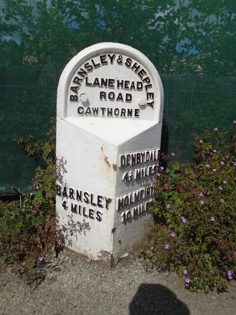
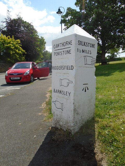
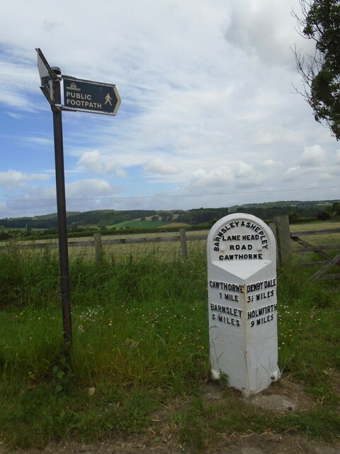
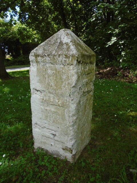
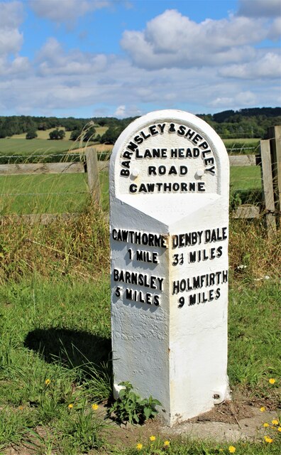
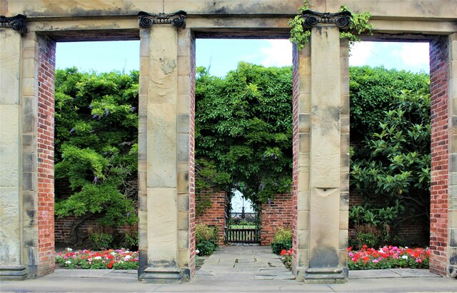
Cawthorne Images
Images are sourced within 2km of 53.565794/-1.581653 or Grid Reference SE2707. Thanks to Geograph Open Source API. All images are credited.
Cawthorne is located at Grid Ref: SE2707 (Lat: 53.565794, Lng: -1.581653)
Division: West Riding
Administrative County: South Yorkshire
District: Barnsley
Police Authority: South Yorkshire
What 3 Words
///correct.mallets.notch. Near Cawthorne, South Yorkshire
Nearby Locations
Related Wikis

Cawthorne
Cawthorne is a village and civil parish in the Metropolitan Borough of Barnsley, South Yorkshire, England. The village was once a centre of the iron and...

Cannon Hall
Cannon Hall is a country house museum located between the villages of Cawthorne and High Hoyland some 5 miles (8 km) west of Barnsley, South Yorkshire...

Cannon Hall Farm
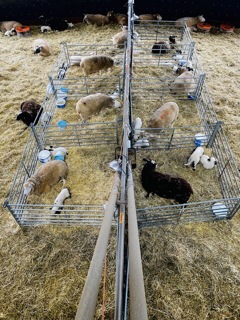
Cannon Hall Farm is a working farm and tourist attraction close to the village of Cawthorne, near Barnsley in the English county of South Yorkshire. Open...

Barnsley West and Penistone (UK Parliament constituency)
Barnsley West and Penistone was a parliamentary constituency in South Yorkshire which returned one Member of Parliament (MP) to the House of Commons of...
High Hoyland
High Hoyland is a village and civil parish in the Metropolitan Borough of Barnsley in South Yorkshire, England, on the border with West Yorkshire. It lies...
Silkstone
Silkstone is a village and civil parish in the Metropolitan Borough of Barnsley in South Yorkshire, England. It is situated in the foothills of the Pennines...

Church of All Saints, Silkstone
The Church of All Saints is the parish church in the village of Silkstone in South Yorkshire, England. It is a Church of England church in the Diocese...
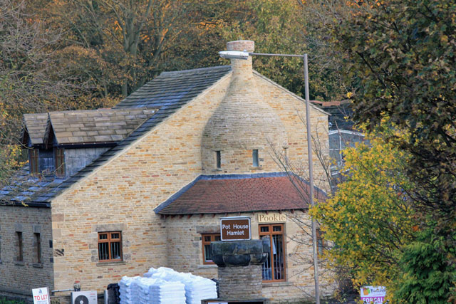
Silkstone glassworks
Silkstone glassworks is situated at Pot House Hamlet, a historic former industrial site in Silkstone, South Yorkshire, England. A glass works was established...
Nearby Amenities
Located within 500m of 53.565794,-1.581653Have you been to Cawthorne?
Leave your review of Cawthorne below (or comments, questions and feedback).