Bank House Plantation
Wood, Forest in Yorkshire
England
Bank House Plantation
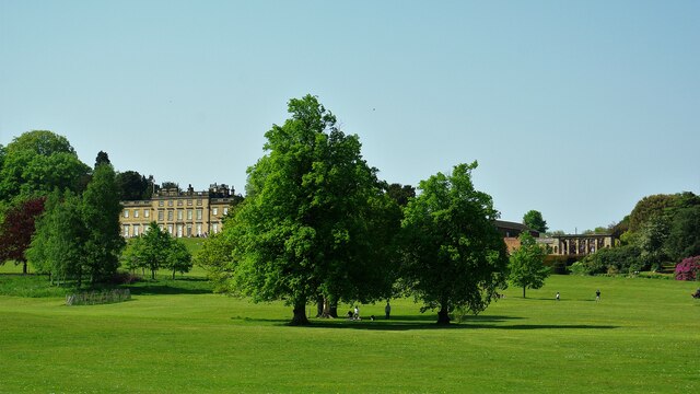
Bank House Plantation is a picturesque woodland located in Yorkshire, England. Situated in the heart of the county, the plantation covers a vast area of lush greenery and is home to a diverse range of plant and animal species.
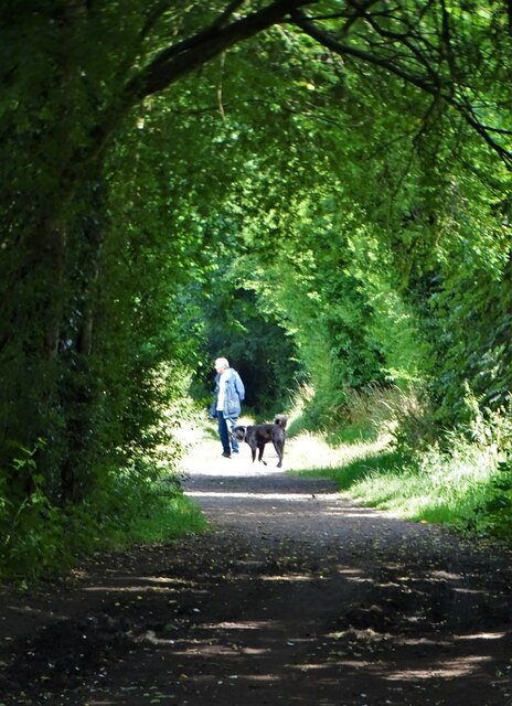
The plantation is known for its enchanting woodland trails that wind through the towering trees. These well-maintained paths offer visitors the opportunity to explore the natural beauty of the area while enjoying a peaceful and tranquil atmosphere. The trails are suitable for all levels of fitness, making Bank House Plantation an ideal destination for nature lovers and outdoor enthusiasts.
The woodland itself is predominantly composed of native tree species, including oak, beech, and birch. These magnificent trees provide a haven for a wide variety of wildlife, including deer, foxes, and numerous bird species. The plantation is also home to a rich array of plant life, with carpets of bluebells and wildflowers adding vibrant splashes of color to the woodland floor in the spring and summer months.
Bank House Plantation is managed by a dedicated team of conservationists who work tirelessly to protect and preserve the natural habitat. They actively encourage sustainable practices such as responsible woodland management and wildlife conservation. As a result, visitors to the plantation can witness firsthand the importance of preserving our natural environment.
Whether you are seeking a peaceful walk, a chance to immerse yourself in nature, or simply a place to escape the hustle and bustle of everyday life, Bank House Plantation offers a serene and idyllic setting that is sure to captivate and inspire all who visit.
If you have any feedback on the listing, please let us know in the comments section below.
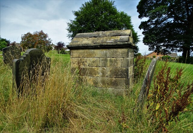
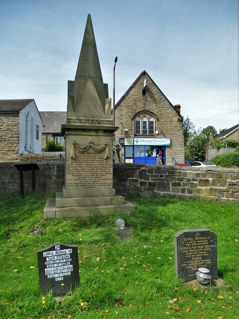
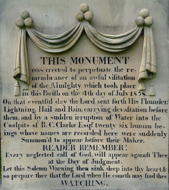
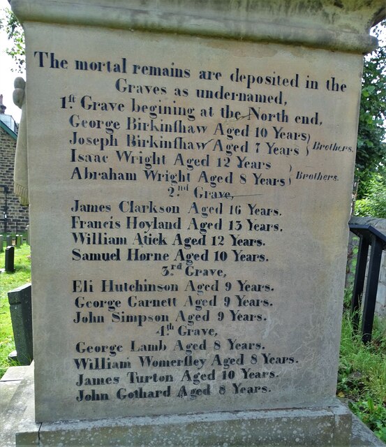
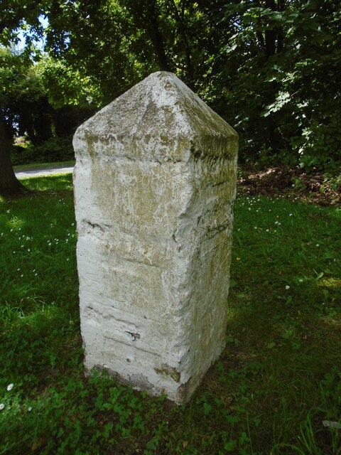
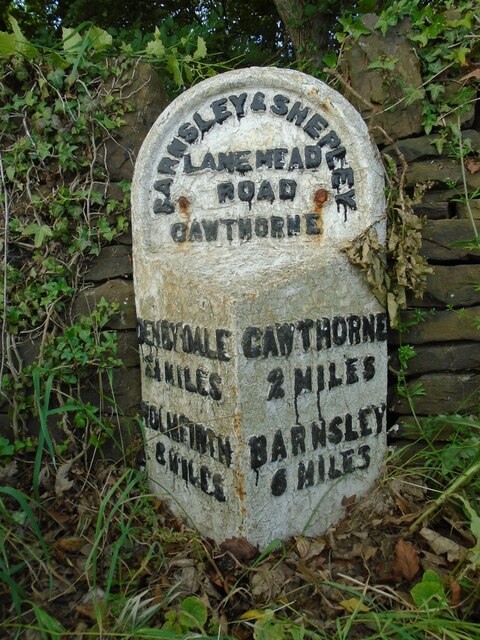
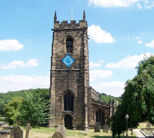
Bank House Plantation Images
Images are sourced within 2km of 53.559987/-1.5845068 or Grid Reference SE2707. Thanks to Geograph Open Source API. All images are credited.
Bank House Plantation is located at Grid Ref: SE2707 (Lat: 53.559987, Lng: -1.5845068)
Division: West Riding
Unitary Authority: Barnsley
Police Authority: South Yorkshire
What 3 Words
///banquets.submit.luckier. Near Cawthorne, South Yorkshire
Nearby Locations
Related Wikis

Barnsley West and Penistone (UK Parliament constituency)
Barnsley West and Penistone was a parliamentary constituency in South Yorkshire which returned one Member of Parliament (MP) to the House of Commons of...

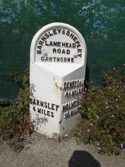
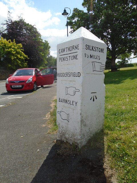
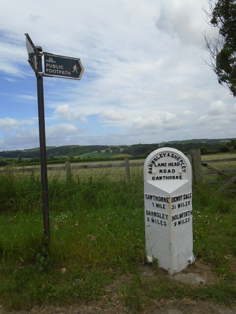
Cawthorne
Cawthorne is a village and civil parish in the Metropolitan Borough of Barnsley, South Yorkshire, England. The village was once a centre of the iron and...

Cannon Hall
Cannon Hall is a country house museum located between the villages of Cawthorne and High Hoyland some 5 miles (8 km) west of Barnsley, South Yorkshire...

Cannon Hall Farm
Cannon Hall Farm is a working farm and tourist attraction close to the village of Cawthorne, near Barnsley in the English county of South Yorkshire. Open...
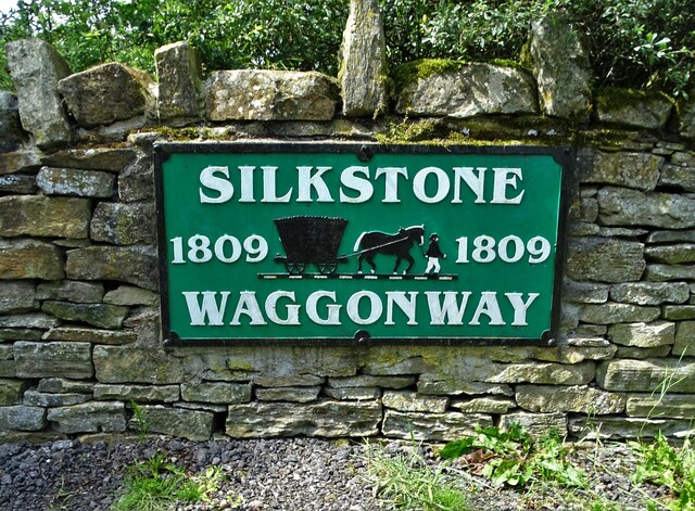
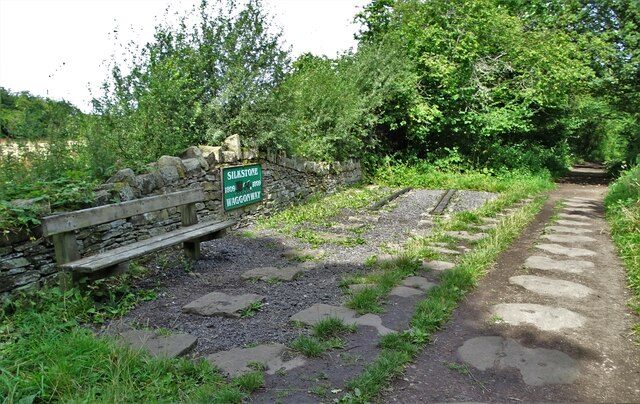
Silkstone
Silkstone is a village and civil parish in the Metropolitan Borough of Barnsley in South Yorkshire, England. It is situated in the foothills of the Pennines...

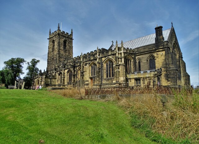
Church of All Saints, Silkstone
The Church of All Saints is the parish church in the village of Silkstone in South Yorkshire, England. It is a Church of England church in the Diocese...
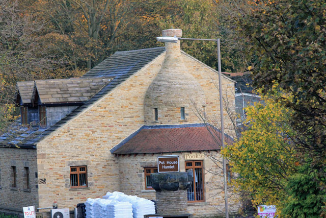
Silkstone glassworks
Silkstone glassworks is situated at Pot House Hamlet, a historic former industrial site in Silkstone, South Yorkshire, England. A glass works was established...

Noblethorpe
Noblethorpe is a hamlet in the English county of South Yorkshire. The hamlet falls within the Penistone East Ward of the Barnsley MBC. Noblethorpe lies...
Nearby Amenities
Located within 500m of 53.559987,-1.5845068Have you been to Bank House Plantation?
Leave your review of Bank House Plantation below (or comments, questions and feedback).