Raw Green

Settlement in Yorkshire

England

Raw Green

Cannon Hall walled garden Cannon Hall is a country estate in South Yorkshire, managed by Barnsley District Council.  The estate, including outlying farms and the Rowlands cricket ground, covers parts of Cawthorne and High Hoyland civil parishes and is a grade II listed park (list entry 1001159).

The park was laid out in the 1760s by Richard Woods for John Spencer of Cawthorne, a local iron mine owner, and was taken over as a public park including the grade II* listed Hall (list entry 1151805).
Cannon Hall walled garden Credit: Dave Pickersgill

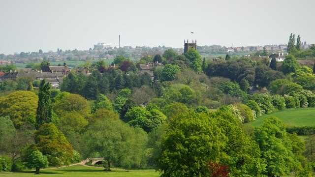
Raw Green is a small village located in the county of Yorkshire, England. Situated in the picturesque countryside, the village is known for its serene and tranquil environment. With a population of around 500 residents, Raw Green offers a close-knit community feel.

The village is surrounded by lush green fields and rolling hills, providing a stunning backdrop for residents and visitors alike. Its rural location attracts those seeking a peaceful and idyllic lifestyle, away from the hustle and bustle of larger towns and cities. The village is known for its strong sense of community, with regular events and activities organized by local residents.

Raw Green boasts a number of amenities and services to cater to the needs of its residents. These include a small convenience store, a post office, and a local pub, which serves as a popular gathering spot for villagers. Additionally, the village has a primary school, ensuring that local children have access to education without the need to travel to neighboring towns.

The natural beauty surrounding Raw Green offers numerous opportunities for outdoor activities. The village is crisscrossed by footpaths and trails, perfect for walking, hiking, or cycling. The nearby countryside is also dotted with several lakes and ponds, providing excellent fishing spots for enthusiasts.

Overall, Raw Green offers a peaceful and charming place to live or visit, with its scenic surroundings and strong community spirit. It is a hidden gem in the heart of Yorkshire, inviting visitors to experience the beauty of rural England.

If you have any feedback on the listing, please let us know in the comments section below.
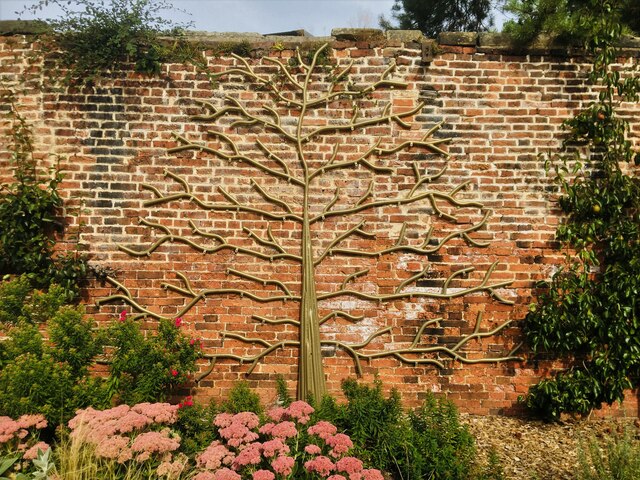
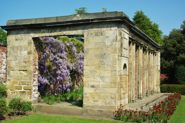
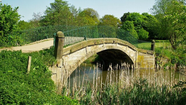
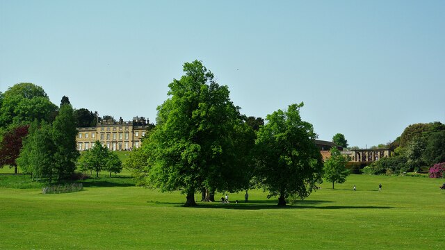
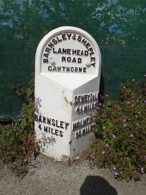
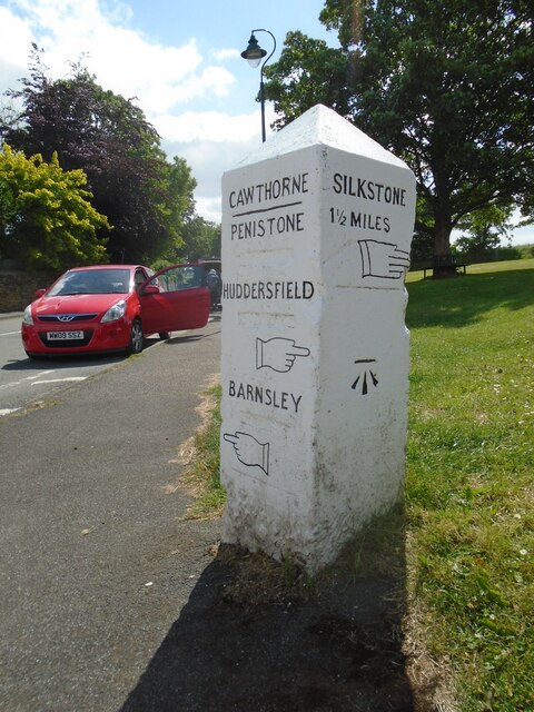
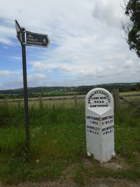
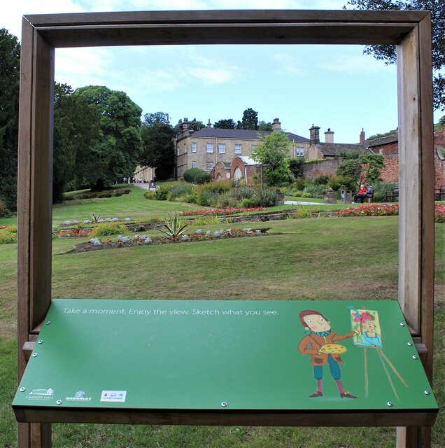
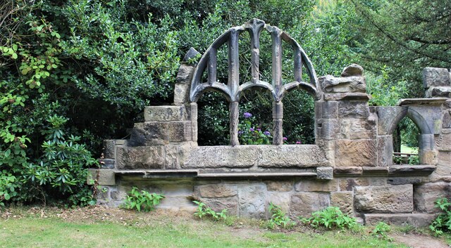
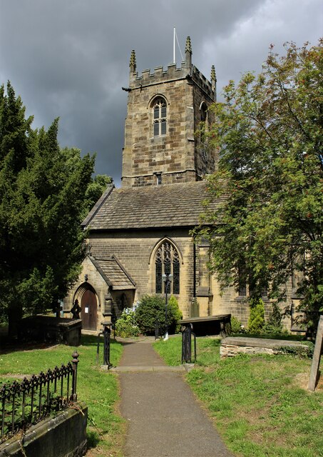
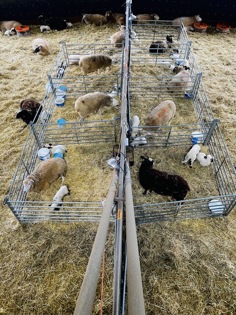
Raw Green Images

Images are sourced within 2km of 53.562948/-1.587796 or Grid Reference SE2707. Thanks to Geograph Open Source API. All images are credited.

Cannon Hall walled garden Cannon Hall is a country estate in South Yorkshire, managed by Barnsley District Council.  The estate, including outlying farms and the Rowlands cricket ground, covers parts of Cawthorne and High Hoyland civil parishes and is a grade II listed park (list entry 1001159).

The park was laid out in the 1760s by Richard Woods for John Spencer of Cawthorne, a local iron mine owner, and was taken over as a public park including the grade II* listed Hall (list entry 1151805).
Cannon Hall walled garden
Cannon Hall is a country estate in South Yorkshire, managed by Barnsley District Council. The estate, including outlying farms and the Rowlands cricket ground, covers parts of Cawthorne and High Hoyland civil parishes and is a grade II listed park (list entry 1001159). The park was laid out in the 1760s by Richard Woods for John Spencer of Cawthorne, a local iron mine owner, and was taken over as a public park including the grade II* listed Hall (list entry 1151805).
Wisteria in Hot House On the Cannon Hall Estate
Wisteria in Hot House
On the Cannon Hall Estate
Footbridge over The Pond In Cannon Hall Park an historic bridge
Footbridge over The Pond
In Cannon Hall Park an historic bridge
Cannon Hall Country Park With Cannon Hall south frontage and gardens on a higher level
Cannon Hall Country Park
With Cannon Hall south frontage and gardens on a higher level
Old milestone The road towards Shepley Lane Head and Holmfirth used to wend its way through Cawthorne village.  In the 20C a by-pass was built.   Some years ago this stone was found buried, perhaps from the 1940 Government instructions, but set up and in 2015 was repainted.   Although set into the pavement all the legends can be read.  The herb robert makes an attractive addition. It is Grade II listed 1151767.
Old milestone
The road towards Shepley Lane Head and Holmfirth used to wend its way through Cawthorne village. In the 20C a by-pass was built. Some years ago this stone was found buried, perhaps from the 1940 Government instructions, but set up and in 2015 was repainted. Although set into the pavement all the legends can be read. The herb robert makes an attractive addition. It is Grade II listed 1151767.
Old milestone This stone set up on the green in Cawthorne had the mileages to Huddersfield and Barnsley defaced, possibly because of the 1940 wartime Government instructions.   It was also buried but found during pipe laying works.  It was painted in 2015 by a professional painter and decorator who said how difficult it was to paint the legends and hands.  It makes a fine feature on the green.  It may date from the 19C and is Grade II listed 1151777.
Old milestone
This stone set up on the green in Cawthorne had the mileages to Huddersfield and Barnsley defaced, possibly because of the 1940 wartime Government instructions. It was also buried but found during pipe laying works. It was painted in 2015 by a professional painter and decorator who said how difficult it was to paint the legends and hands. It makes a fine feature on the green. It may date from the 19C and is Grade II listed 1151777.
Old milestone Travelling westwards and back out of Cawthorne village is the 5 miles from Barnsley West Riding CC milestone.   It is on the north side of the road at Clough Green and opposite the pipeworks.  Another milestone that was professionally painted in 2015.   The full height of the metal attachment with the two fastening bolts at ground level visible.   About 15-20cm of stone will be under ground level.  The Public Footpath sign indicates a section of the Barnsley Boundary Walk.   Grade II listed 1286788.
Old milestone
Travelling westwards and back out of Cawthorne village is the 5 miles from Barnsley West Riding CC milestone. It is on the north side of the road at Clough Green and opposite the pipeworks. Another milestone that was professionally painted in 2015. The full height of the metal attachment with the two fastening bolts at ground level visible. About 15-20cm of stone will be under ground level. The Public Footpath sign indicates a section of the Barnsley Boundary Walk. Grade II listed 1286788.
Old milestone The route between Barnsley, Shepley Lane Head and Holmfirth was never turnpiked.  So before County Councils erected milestones in the late 19C/early 20C simple stones would have been set up at junctions to guide travellers.   This stone is at the junction of the A635 with North Lane which meanders towards Penistone.  It is thought that it was originally inscribed with Penistone, Barnsley and Huddersfield.  Although painted in 2015 it is under a large tree hence the green mould.  On the day of this picture it was covered with an advertising hoarding, taken off and replaced.
Old milestone
The route between Barnsley, Shepley Lane Head and Holmfirth was never turnpiked. So before County Councils erected milestones in the late 19C/early 20C simple stones would have been set up at junctions to guide travellers. This stone is at the junction of the A635 with North Lane which meanders towards Penistone. It is thought that it was originally inscribed with Penistone, Barnsley and Huddersfield. Although painted in 2015 it is under a large tree hence the green mould. On the day of this picture it was covered with an advertising hoarding, taken off and replaced.
Old milestone The 6 miles from Barnsley, late 19C West Riding CC, milestone is just west of Coach Gate Lane which leads to the ancient Gunthwaite Hall.   It is on a very narrow verge almost at the Barnsley/Kirklees boundary.  Not well painted but in a very difficult place to work.  It is Grade II listed 1314730.
Old milestone
The 6 miles from Barnsley, late 19C West Riding CC, milestone is just west of Coach Gate Lane which leads to the ancient Gunthwaite Hall. It is on a very narrow verge almost at the Barnsley/Kirklees boundary. Not well painted but in a very difficult place to work. It is Grade II listed 1314730.
Cannon Hall Country Park Cannon Hall Country Park with Emley Moor TV mast in the background.
Cannon Hall Country Park
Cannon Hall Country Park with Emley Moor TV mast in the background.
Milepost on the A635
Cannon Hall Country Park
Cannon Hall, Bransley
Cannon Hall Country Park
All Saints' Church, Cawthorne
Cannon Hall Open Farm, Cawthorne All is well at the open farm, star of TV.
Cannon Hall Open Farm, Cawthorne
All is well at the open farm, star of TV.
Cawthorne from Cannon Hall The bridge over the pond giving access to Cannon Hall from Cawthorne is towards the bottom left of the view. Barnsley Hospital is on the skyline
Cawthorne from Cannon Hall
The bridge over the pond giving access to Cannon Hall from Cawthorne is towards the bottom left of the view. Barnsley Hospital is on the skyline
Art in the greenhouse Artwork in the Victorian greenhouse located in the walled garden at Cannon Hall.
Art in the greenhouse
Artwork in the Victorian greenhouse located in the walled garden at Cannon Hall.
Show me another place!

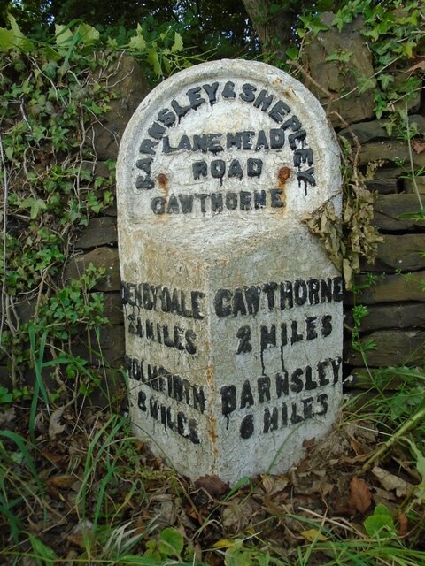
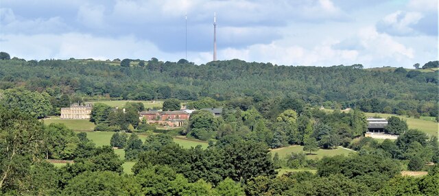
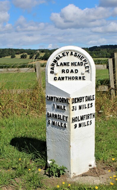
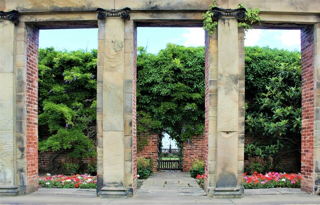
Raw Green is located at Grid Ref: SE2707 (Lat: 53.562948, Lng: -1.587796)

Division: West Riding

Unitary Authority: Barnsley

Police Authority: South Yorkshire

What 3 Words

///changed.joggers.populate. Near Cawthorne, South Yorkshire

Related Wikis

Barnsley West and Penistone (UK Parliament constituency)

Barnsley West and Penistone was a parliamentary constituency in South Yorkshire which returned one Member of Parliament (MP) to the House of Commons of...

Cannon Hall

Cannon Hall is a country house museum located between the villages of Cawthorne and High Hoyland some 5 miles (8 km) west of Barnsley, South Yorkshire...

Cannon Hall Farm

Cannon Hall Farm is a working farm and tourist attraction close to the village of Cawthorne, near Barnsley in the English county of South Yorkshire. Open...

Cawthorne

Cawthorne is a village and civil parish in the Metropolitan Borough of Barnsley, South Yorkshire, England. The village was once a centre of the iron and...

Nearby Amenities

Located within 500m of 53.562948,-1.587796
Bus Stop
Lane Head Road/Bark House Lane
Bus: yes
Naptan AtcoCode: 370055384
Naptan Bearing: N
Naptan CommonName: Lane Head Road/Bark House Lane
Naptan Indicator: 55384
Naptan Landmark: 55384
Naptan PlusbusZoneRef: ROTHCEN
Naptan Street: Lane Head Road
Naptan Verified: no
Public Transport: platform
Shelter: yes
Source: naptan_import
Timetable: yes
Lat/Long: 53.5619575/-1.5862804
Bus Stop
Lane Head Road/North Lane
Alt Name: Lane Head Road/North Lane
Bay: yes
Bus: yes
Naptan AltCommonName: Lane Head Road/North Lane
Naptan AtcoCode: 370055390
Naptan Bearing: N
Naptan CommonName: Lane Head Road/North Lane
Naptan Indicator: 55390
Naptan Landmark: Opposite Pipe Works
Naptan PlusbusZoneRef: ROTHCEN
Naptan Street: Lane Head Road
Naptan Verified: no
Public Transport: platform
Shelter: yes
Source: naptan_import
Lat/Long: 53.5608359/-1.5941314
Barrier: stile
Stile: stepover
Lat/Long: 53.563597/-1.5915926
Barrier: stile
Stile: stepover
Lat/Long: 53.5626735/-1.5913108
Barrier: stile
Stile: stepover
Lat/Long: 53.5611849/-1.5913144
Barrier: stile
Stile: stepover
Lat/Long: 53.5617052/-1.591002
Restaurant
Snacks: available
Source: Bing
Lat/Long: 53.567083/-1.5905643
Tivy Dale
Place: locality
Lat/Long: 53.5636359/-1.5808486
Clough Green
Place: locality
Lat/Long: 53.5615228/-1.590625
Oneacre
Building: terrace
Lat/Long: 53.5608016/-1.5913465
Tanyard
Building: terrace
Lat/Long: 53.5608401/-1.5912096
Raw Green
Place: locality
Lat/Long: 53.5627545/-1.5870579
Barrier: kissing_gate
Lat/Long: 53.5664489/-1.5885778
Bench
Backrest: yes
Lat/Long: 53.5672094/-1.5887493
Barrier: stile
Stile: stepover
Lat/Long: 53.5663694/-1.5887899
Barrier: stile
Stile: stepover
Lat/Long: 53.564877/-1.5888586
Barrier: stile
Stile: stepover
Lat/Long: 53.5642104/-1.5902459
Barrier: stile
Stile: stepover
Lat/Long: 53.5622717/-1.5911925
Barrier: stile
Stile: stepover
Lat/Long: 53.5664371/-1.5887103
The data included in this document is from www.openstreetmap.org. The data is made available under ODbL.

Have you been to Raw Green?

Leave your review of Raw Green below (or comments, questions and feedback).