Raw Green
Downs, Moorland in Yorkshire
England
Raw Green
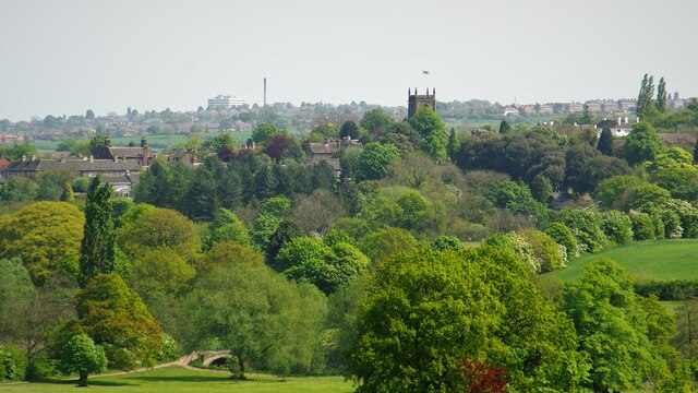
Raw Green is a picturesque village located in the county of Yorkshire, England. Situated amidst the breathtaking landscape of the Yorkshire Downs and Moorland, it offers residents and visitors alike a tranquil and idyllic setting. With a population of around 500 people, it is a close-knit community that prides itself on its rich heritage and natural beauty.
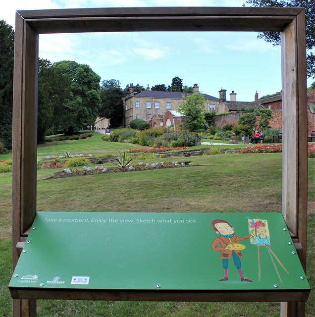
The village is renowned for its lush green fields, rolling hills, and stunning vistas. The Yorkshire Downs, with their undulating terrain and vibrant vegetation, provide ample opportunities for outdoor activities such as hiking, cycling, and horseback riding. The Moorland, characterized by its vast expanses of heather and peat, offers a unique and untouched landscape for nature enthusiasts to explore.
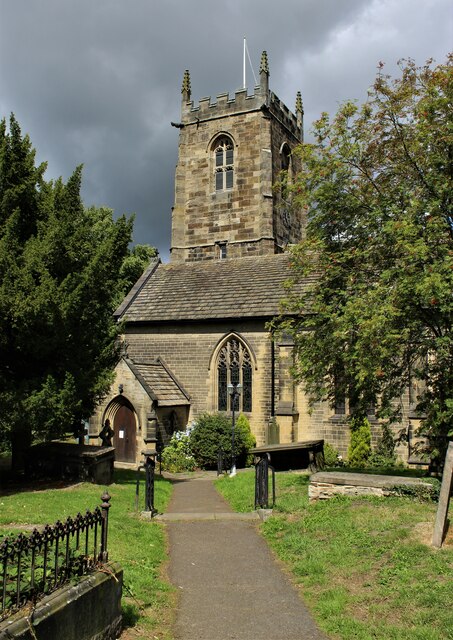
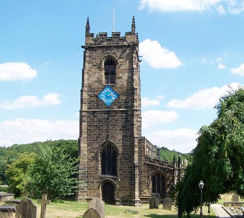
Raw Green is also home to several historic landmarks, including the centuries-old St. Mary's Church, which stands as a testament to the village's long-standing presence. The church's striking architecture and peaceful surroundings make it a popular destination for visitors seeking solace and reflection.
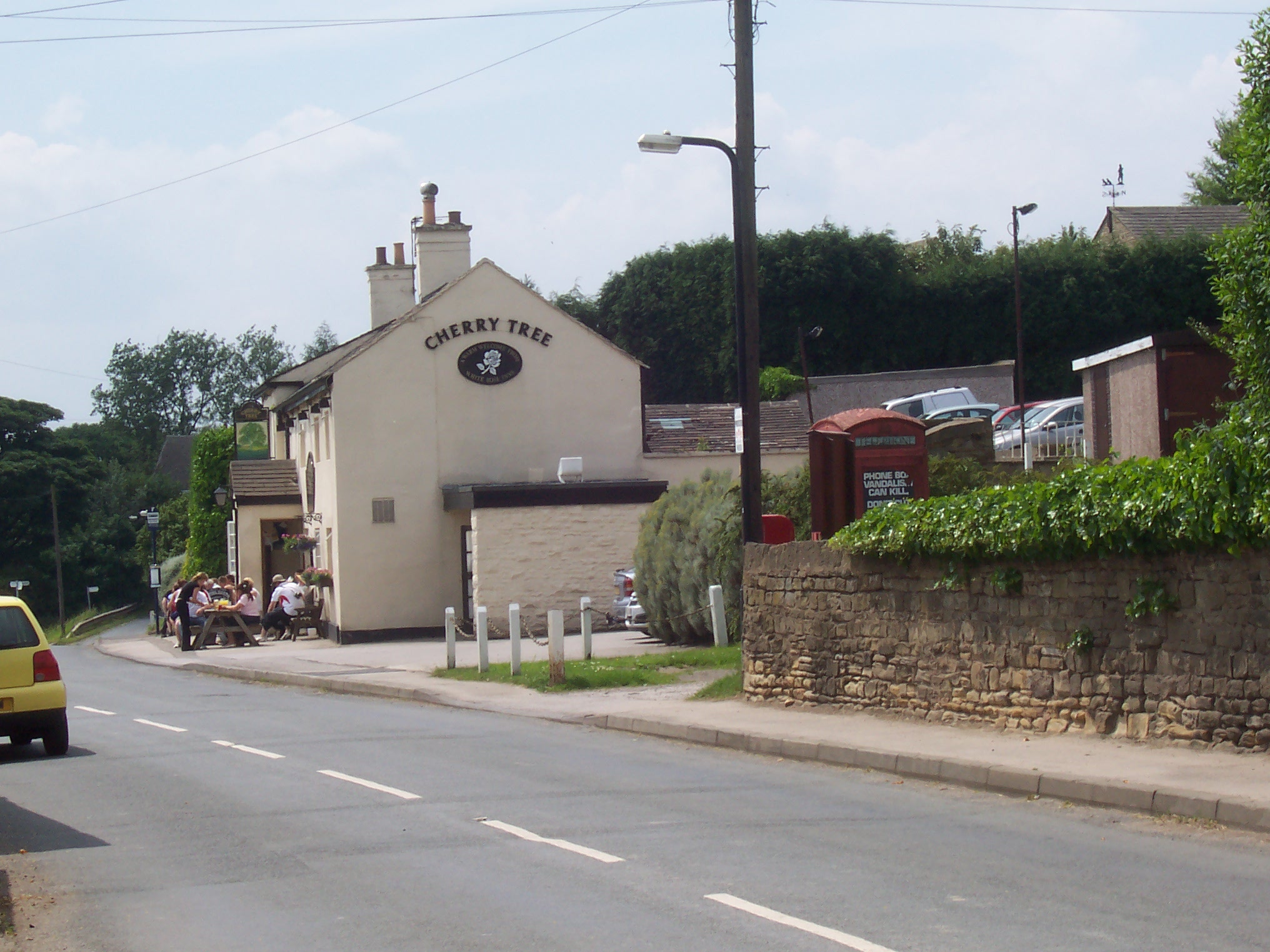
The village itself boasts a charming and traditional atmosphere, with quaint cottages, a local pub, and a few small shops catering to the needs of the community. The residents of Raw Green are known for their warm hospitality and strong sense of community spirit, often organizing events and gatherings to celebrate local traditions and foster a sense of togetherness.
Overall, Raw Green in Yorkshire is a hidden gem, offering a peaceful retreat from the hustle and bustle of city life. Its natural beauty, rich history, and welcoming community make it a must-visit destination for those seeking a slice of traditional English countryside bliss.
If you have any feedback on the listing, please let us know in the comments section below.
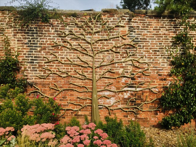
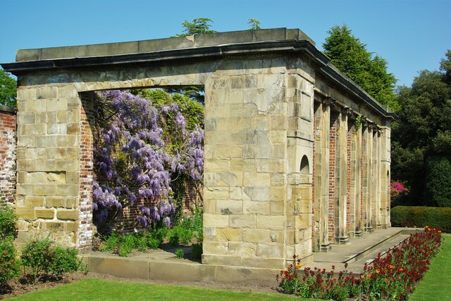
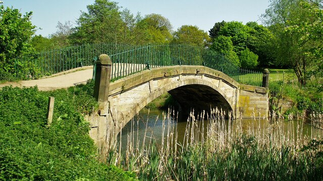
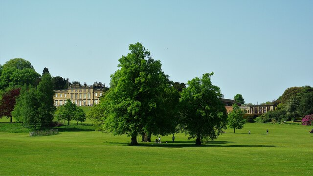
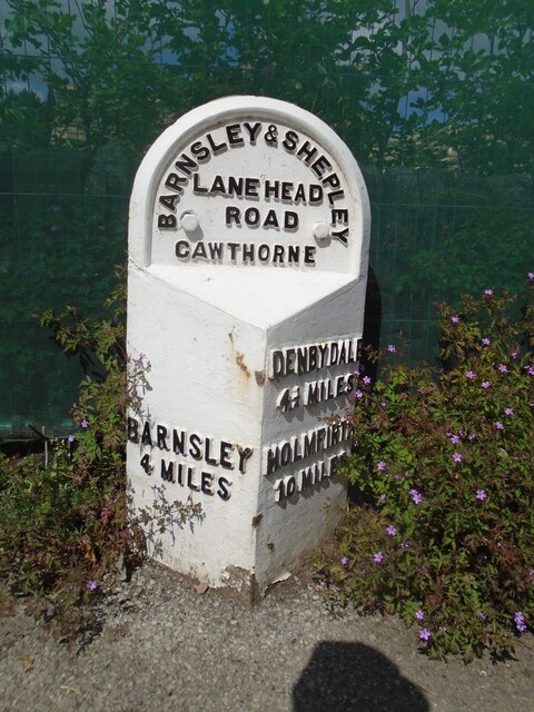
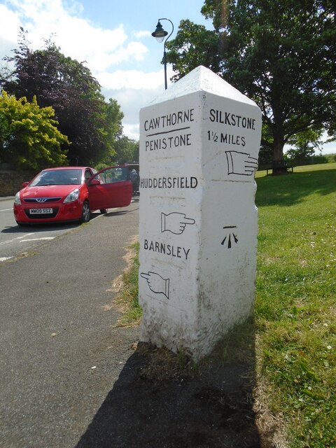
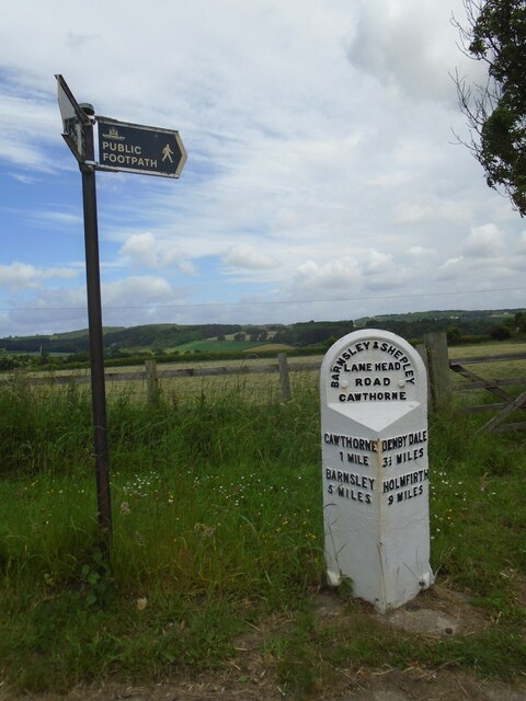
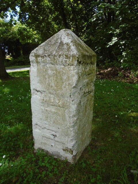
Raw Green Images
Images are sourced within 2km of 53.563683/-1.5875053 or Grid Reference SE2707. Thanks to Geograph Open Source API. All images are credited.
Raw Green is located at Grid Ref: SE2707 (Lat: 53.563683, Lng: -1.5875053)
Division: West Riding
Unitary Authority: Barnsley
Police Authority: South Yorkshire
What 3 Words
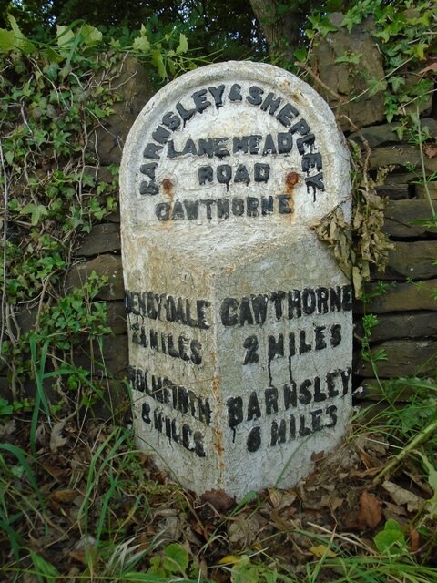
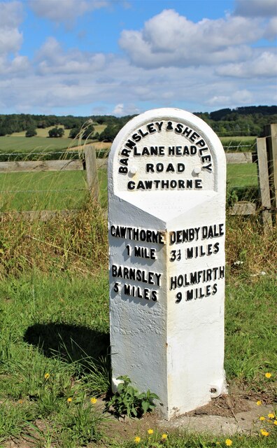
///mixed.wildfires.aviation. Near Cawthorne, South Yorkshire
Nearby Locations
Related Wikis

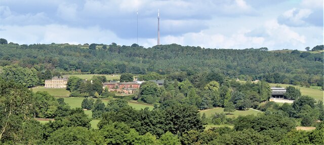
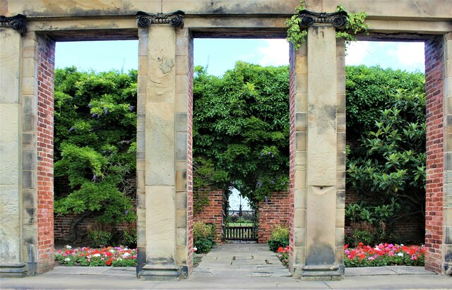
Cannon Hall
Cannon Hall is a country house museum located between the villages of Cawthorne and High Hoyland some 5 miles (8 km) west of Barnsley, South Yorkshire...

Barnsley West and Penistone (UK Parliament constituency)
Barnsley West and Penistone was a parliamentary constituency in South Yorkshire which returned one Member of Parliament (MP) to the House of Commons of...

Cannon Hall Farm
Cannon Hall Farm is a working farm and tourist attraction close to the village of Cawthorne, near Barnsley in the English county of South Yorkshire. Open...

Cawthorne
Cawthorne is a village and civil parish in the Metropolitan Borough of Barnsley, South Yorkshire, England. The village was once a centre of the iron and...
High Hoyland
High Hoyland is a village and civil parish in the Metropolitan Borough of Barnsley in South Yorkshire, England, on the border with West Yorkshire. It lies...
Silkstone
Silkstone is a village and civil parish in the Metropolitan Borough of Barnsley in South Yorkshire, England. It is situated in the foothills of the Pennines...

Church of All Saints, Silkstone
The Church of All Saints is the parish church in the village of Silkstone in South Yorkshire, England. It is a Church of England church in the Diocese...
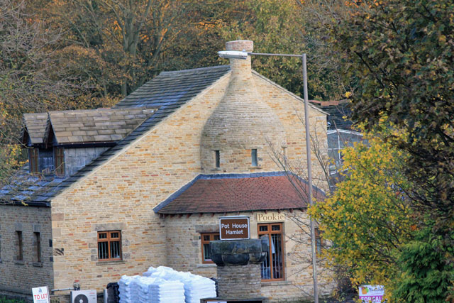
Silkstone glassworks
Silkstone glassworks is situated at Pot House Hamlet, a historic former industrial site in Silkstone, South Yorkshire, England. A glass works was established...
Nearby Amenities
Located within 500m of 53.563683,-1.5875053Have you been to Raw Green?
Leave your review of Raw Green below (or comments, questions and feedback).