Cascade
Lake, Pool, Pond, Freshwater Marsh in Yorkshire
England
Cascade
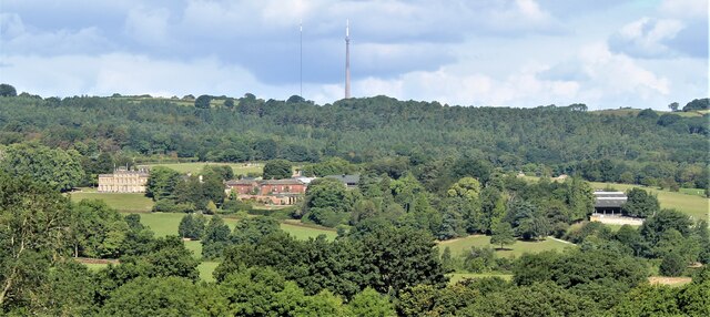
Cascade, Yorkshire is a picturesque freshwater ecosystem located in the heart of Yorkshire, England. This enchanting landscape is characterized by its stunning lake, pool, pond, and freshwater marsh, all of which contribute to the area's diverse and thriving biodiversity.
The centerpiece of Cascade is its pristine lake, which stretches over a vast area and serves as a vital habitat for a wide variety of aquatic species. The water in the lake is crystal clear and teeming with life, creating a serene and tranquil atmosphere. Visitors can enjoy activities such as boating, fishing, and swimming in the lake, while also appreciating the breathtaking natural beauty that surrounds them.
Adjacent to the lake, one can find a tranquil pool that forms a smaller water body within the Cascade ecosystem. This pool is home to numerous species of fish, amphibians, and waterfowl, providing ample opportunities for wildlife enthusiasts and birdwatchers to observe and appreciate nature up close.
Adding to the ecological diversity of Cascade, there is a charming pond tucked away amidst the lush greenery. The pond is a haven for various aquatic plants and invertebrates, attracting a range of species such as dragonflies, frogs, and turtles. It offers a peaceful setting for visitors to relax and take in the sights and sounds of nature.
Lastly, the freshwater marsh in Cascade acts as a natural filter, purifying the water as it flows through the ecosystem. This marsh is a crucial habitat for numerous species of plants and animals, including reeds, cattails, and water birds. It is a vital component of the ecosystem, ensuring the overall health and balance of the Cascade environment.
In conclusion, Cascade, Yorkshire is a stunning freshwater ecosystem that encompasses a diverse range of habitats, including a magnificent lake, pool, pond, and freshwater marsh. Its natural beauty and rich biodiversity make it an ideal destination for nature lovers and those seeking a peaceful retreat in the heart of Yorkshire.
If you have any feedback on the listing, please let us know in the comments section below.
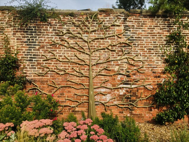
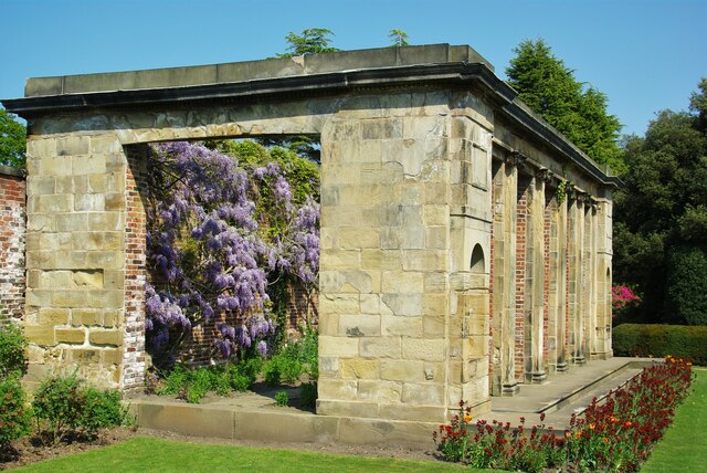
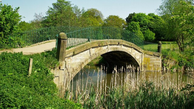
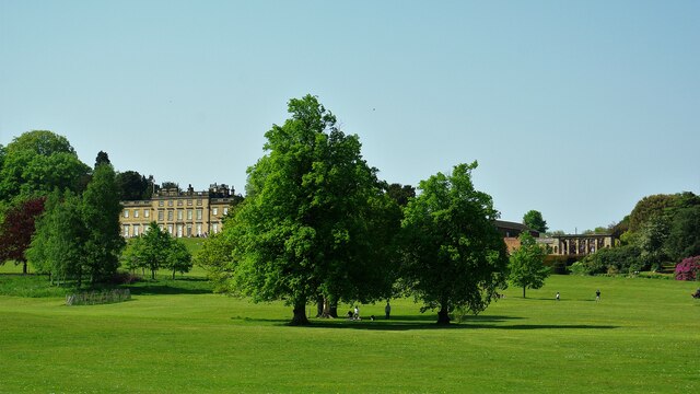
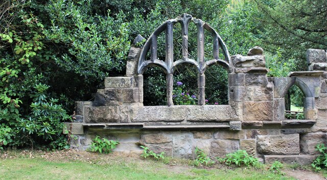
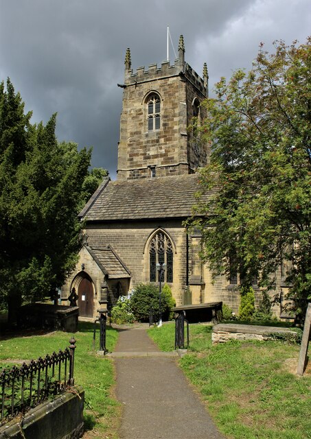
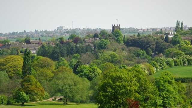
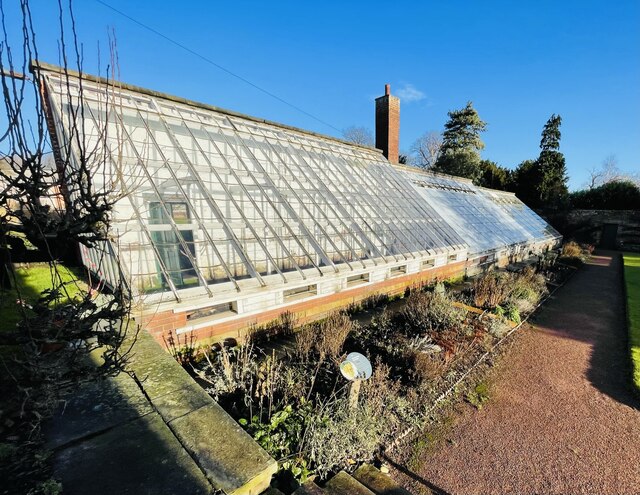
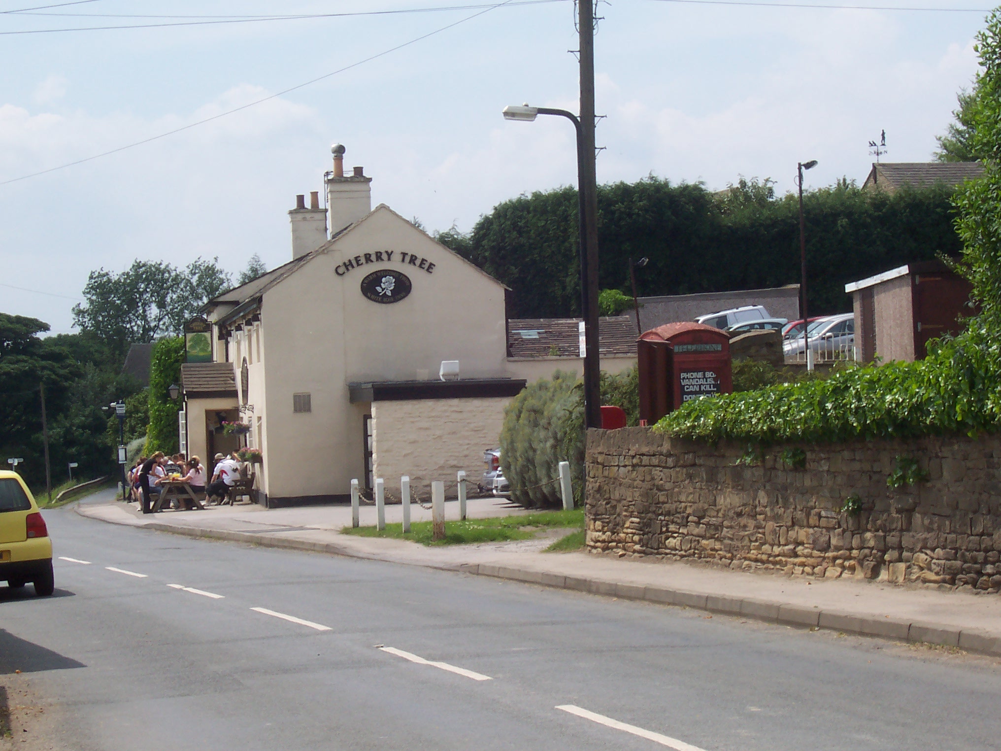
Cascade Images
Images are sourced within 2km of 53.567848/-1.5834484 or Grid Reference SE2707. Thanks to Geograph Open Source API. All images are credited.
Cascade is located at Grid Ref: SE2707 (Lat: 53.567848, Lng: -1.5834484)
Division: West Riding
Unitary Authority: Barnsley
Police Authority: South Yorkshire
What 3 Words
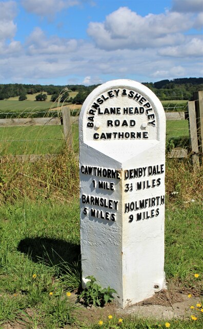
///fuse.narrate.realm. Near Cawthorne, South Yorkshire
Nearby Locations
Related Wikis

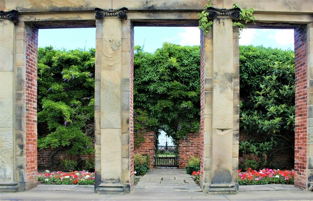
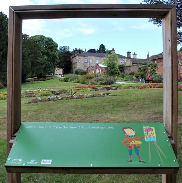
Cannon Hall
Cannon Hall is a country house museum located between the villages of Cawthorne and High Hoyland some 5 miles (8 km) west of Barnsley, South Yorkshire...

Cannon Hall Farm
Cannon Hall Farm is a working farm and tourist attraction close to the village of Cawthorne, near Barnsley in the English county of South Yorkshire. Open...

Cawthorne
Cawthorne is a village and civil parish in the Metropolitan Borough of Barnsley, South Yorkshire, England. The village was once a centre of the iron and...
High Hoyland
High Hoyland is a village and civil parish in the Metropolitan Borough of Barnsley in South Yorkshire, England, on the border with West Yorkshire. It lies...
Nearby Amenities
Located within 500m of 53.567848,-1.5834484Have you been to Cascade?
Leave your review of Cascade below (or comments, questions and feedback).