Broome
Civil Parish in Worcestershire Wyre Forest
England
Broome
Broome is a civil parish located in the county of Worcestershire, England. Situated approximately 10 miles south of the city of Worcester, the parish covers an area of about 1.5 square miles. Broome is a rural village with a small population, providing a tranquil and picturesque setting for its residents.
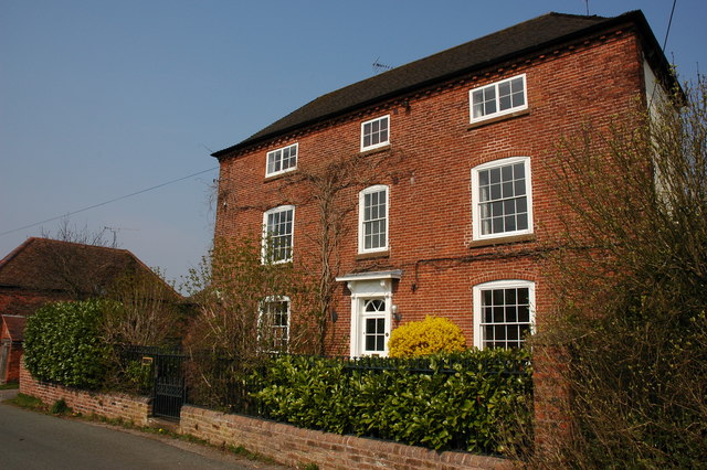
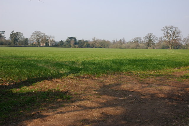
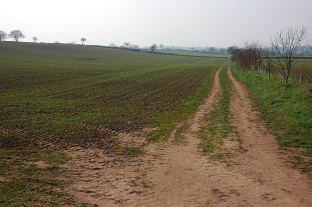
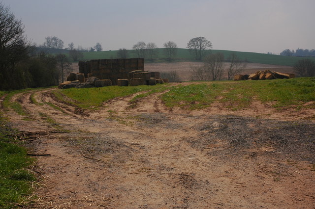
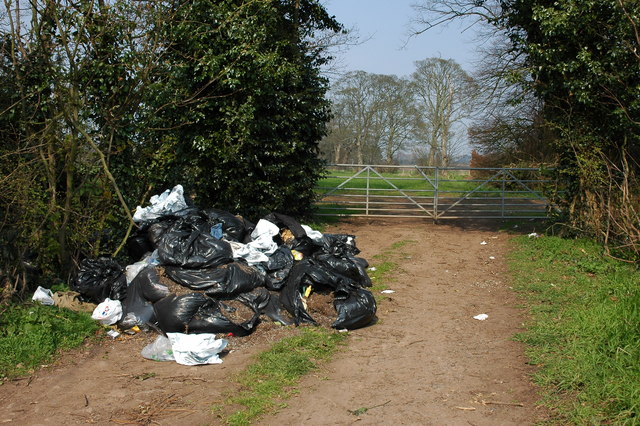
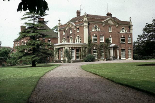
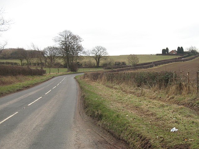
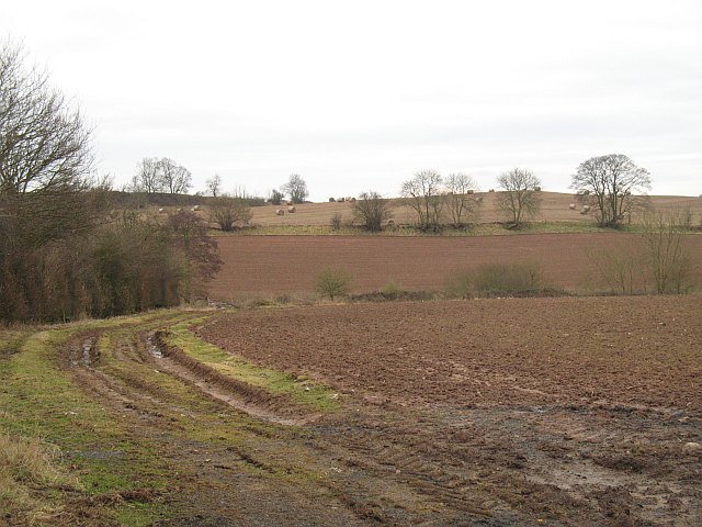
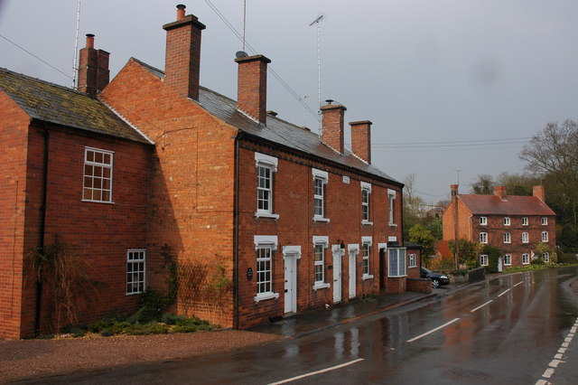
The village is surrounded by beautiful countryside, characterized by rolling hills, farmland, and woodland areas. The natural landscape offers opportunities for outdoor activities such as walking, hiking, and cycling. The parish is also home to several historical landmarks, including the Grade II listed Broome Court, a manor house that dates back to the 16th century.
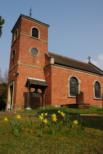
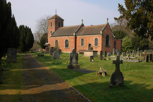
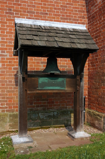
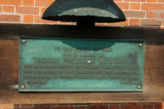
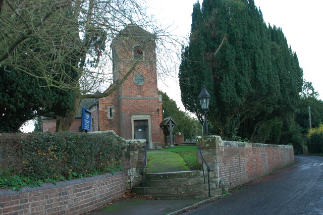
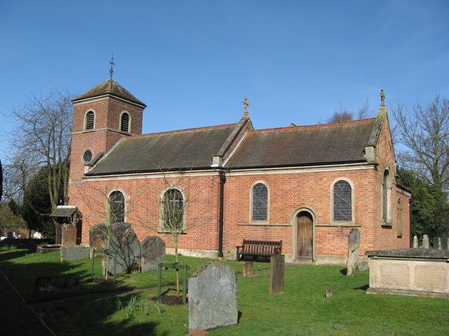
Despite its small size, Broome has a strong sense of community, with various local events and activities taking place throughout the year. The village has a local church, St. Peter's, which serves as a gathering point for religious services and community events.
The nearest amenities can be found in the nearby towns of Pershore and Worcester, where residents have access to a range of shops, restaurants, schools, and healthcare facilities. Broome benefits from its rural location, offering a peaceful and idyllic lifestyle for those seeking to escape the hustle and bustle of city living.
Overall, Broome, Worcestershire is a charming civil parish that offers a close-knit community, stunning natural surroundings, and a peaceful rural lifestyle.
If you have any feedback on the listing, please let us know in the comments section below.
Broome Images
Images are sourced within 2km of 52.399601/-2.14931 or Grid Reference SO8977. Thanks to Geograph Open Source API. All images are credited.

Broome is located at Grid Ref: SO8977 (Lat: 52.399601, Lng: -2.14931)
Administrative County: Worcestershire
District: Wyre Forest
Police Authority: West Mercia
What 3 Words
///dictation.counters.currently. Near Belbroughton, Worcestershire
Nearby Locations
Related Wikis

Broome, Worcestershire
Broome is a village and civil parish in the Wyre Forest District of Worcestershire, England. According to the 2001 census it had a population of 338. The...

Hackmans Gate
Hackmans Gate is a hamlet in the parish of Broome, and the district of Wyre Forest District of Worcestershire, England.
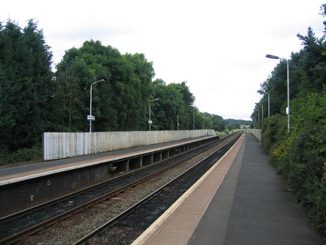
Blakedown railway station
Blakedown railway station serves the English village of Blakedown, Worcestershire. It was opened as Churchill in 1852, later becoming known for a time...

King's Norton and Northfield Urban District
King's Norton and Northfield Urban District was a local government administrative district in north Worcestershire, England, from 1898 until 1911. Much...

Blakedown
Blakedown is a village in the Wyre Forest District lying along the A456 in the north of the county of Worcestershire, England. Following enclosures and...
Drayton, Worcestershire
Drayton is a hamlet in Worcestershire, England which remains part of the ecclesiastical parish of Chaddesley Corbett, which from its select vestry formed...

Belbroughton
Belbroughton ( bel-BRAW-tən) is a village and civil parish in the Bromsgrove District of Worcestershire, England. According to the 2021 census it had...
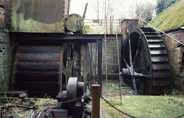
Churchill Forge Mill
Churchill Forge Mill, situated in the Worcestershire village of Churchill, is one of the last water-powered forge mills remaining in an intact state in...
Nearby Amenities
Located within 500m of 52.399601,-2.14931Have you been to Broome?
Leave your review of Broome below (or comments, questions and feedback).