Broome

Civil Parish in Norfolk South Norfolk

England

Broome

A143 east at Suffolk County border sign
A143 east at Suffolk County border sign Credit: Roy Hughes

Broome is a civil parish located in the county of Norfolk, England. It is situated about 15 miles southwest of the city of Norwich and covers an area of approximately 6 square miles. The village of Broome itself is small, with a population of around 250 people.

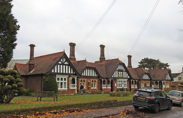
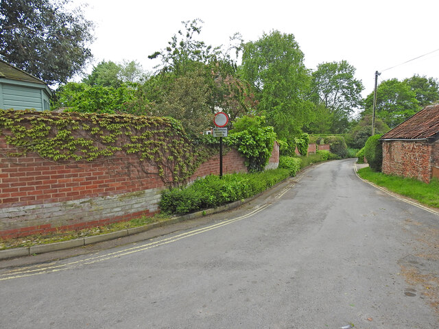
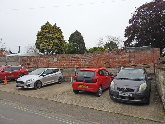
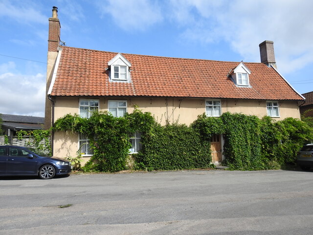
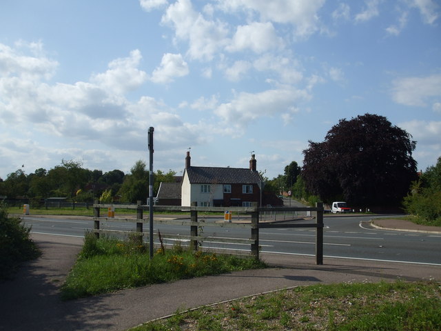
The parish is predominantly rural, characterized by its picturesque countryside, rolling hills, and farmland. It is surrounded by other small villages and hamlets, contributing to the peaceful and tranquil atmosphere of the area. The landscape is dotted with traditional Norfolk cottages and farmhouses, giving the village a charming and idyllic feel.

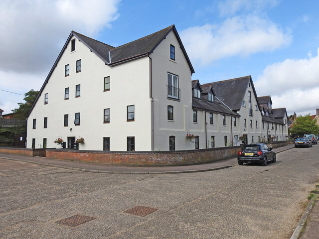
Despite its small size, Broome has a strong community spirit, with various local amenities and services. These include a village hall, a primary school, and a parish church, which serve as central points for social and cultural activities. The village also has a local pub, providing a gathering place for residents and visitors alike.

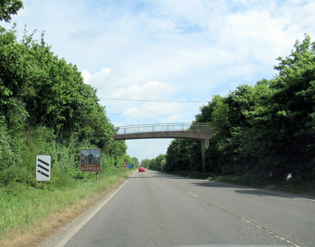
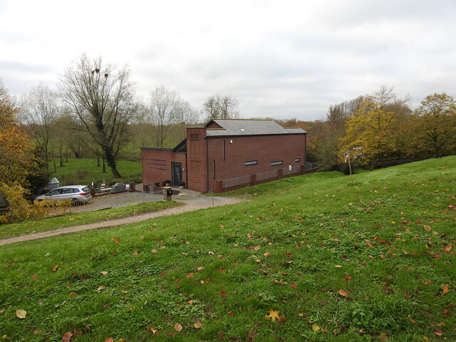
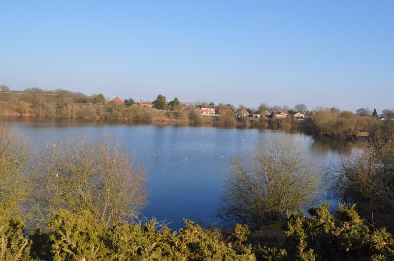
Nature enthusiasts will find plenty to explore in Broome and its surrounding areas. The parish is home to several nature reserves and wildlife habitats, offering opportunities for walking, birdwatching, and other outdoor activities. The River Waveney, which forms part of the boundary of the parish, is another natural feature that adds to the beauty of the area.

Overall, Broome, Norfolk, is a charming and tranquil village with a strong sense of community. Its rural setting, combined with its local amenities and natural beauty, makes it an attractive place to live or visit for those seeking a peaceful retreat in the heart of Norfolk.

If you have any feedback on the listing, please let us know in the comments section below.
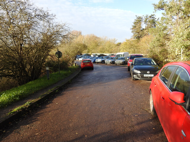
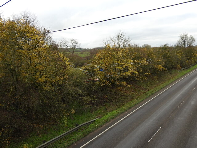
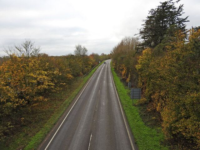
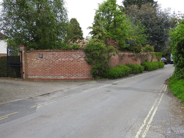
Broome Images

Images are sourced within 2km of 52.465782/1.452845 or Grid Reference TM3490. Thanks to Geograph Open Source API. All images are credited.

A143 east at Suffolk County border sign
Market Place, Bungay
Street sign, Popson Street, Bungay This design of street sign is common in Bungay and some, like this one, carry the date 1919 in the corner.
Street sign, Popson Street, Bungay
This design of street sign is common in Bungay and some, like this one, carry the date 1919 in the corner.
Fisher Theatre, Broad Street, Bungay Fisher Theatre is now a cinema.  On the right, the entrance to the pleasingly-named Cork Bricks, a short alley that cuts through to the next street.
Fisher Theatre, Broad Street, Bungay
Fisher Theatre is now a cinema. On the right, the entrance to the pleasingly-named Cork Bricks, a short alley that cuts through to the next street.
Drift House, Bungay The building has the appearance of being a church.
Drift House, Bungay
The building has the appearance of being a church.
Alms houses in Outney Road, Bungay St Edmund’s Almshouse, built in 1895 to the designs of E Banham, using funds donated by Frederick Smith (1833-1903), a local solicitor, is listed at Grade II, built of red brick laid in Flemish bond with stone dressings and plain red tiled roof covering.
Alms houses in Outney Road, Bungay
St Edmund’s Almshouse, built in 1895 to the designs of E Banham, using funds donated by Frederick Smith (1833-1903), a local solicitor, is listed at Grade II, built of red brick laid in Flemish bond with stone dressings and plain red tiled roof covering.
St Edmund's alms houses, Bungay - plaque detail The central gable, which is taller than those flanking it, contains this carved stone plaque with Gothic trefoil arches bearing the date of 1895 and St Edmund’s Homes with the entwined letters SE above.
St Edmund's alms houses, Bungay - plaque detail
The central gable, which is taller than those flanking it, contains this carved stone plaque with Gothic trefoil arches bearing the date of 1895 and St Edmund’s Homes with the entwined letters SE above.
St Edmund's alms houses, Bungay - chimney detail Above the steeply pitched roof are five tall octagonal chimneys shafts with moulded brick bases and star tops.
St Edmund's alms houses, Bungay - chimney detail
Above the steeply pitched roof are five tall octagonal chimneys shafts with moulded brick bases and star tops.
The site of the former Bungay Railway Station Now a car park for the employees of Clays Printing Works.
The station was 12¾ miles from Tivetshall and necessitated the building of two bridges numbers 1190 and 1192, within a half mile of each other, over the River Waveney as well as minor bridges over drainage ditches.
The station itself had two platforms although only a single line each side of the station. The signal box was located between the station building and the Outney overbridge. The station underwent an improvement and expansion in 1933 when the previous wooden buildings were replaced with purpose-built brick buildings with all the usual amenities plus a W H Smith newspaper and book stall. The goods yard which was separated from the passenger station by the Outney overbridge consisted of a large crossing loop sidings and a goods shed containing a 30 cwt crane, cattle pens and loading dock. Coal bunkers and a water tank (still in use at The North Norfolk Railway).
The site of the former Bungay Railway Station
Now a car park for the employees of Clays Printing Works. The station was 12¾ miles from Tivetshall and necessitated the building of two bridges numbers 1190 and 1192, within a half mile of each other, over the River Waveney as well as minor bridges over drainage ditches. The station itself had two platforms although only a single line each side of the station. The signal box was located between the station building and the Outney overbridge. The station underwent an improvement and expansion in 1933 when the previous wooden buildings were replaced with purpose-built brick buildings with all the usual amenities plus a W H Smith newspaper and book stall. The goods yard which was separated from the passenger station by the Outney overbridge consisted of a large crossing loop sidings and a goods shed containing a 30 cwt crane, cattle pens and loading dock. Coal bunkers and a water tank (still in use at The North Norfolk Railway).
The former site of Bungay Waveney Valley Railway Station In the trees and in part of the car park behind was the site of Bungay Railway Station. The station was 12¾ miles from Tivetshall and necessitated the building of two bridges numbers 1190 and 1192, within a half mile of each other, over the River Waveney as well as minor bridges over drainage ditches.
The station itself had two platforms although only a single line each side of the station. The signal box was located between the station building and the Outney overbridge. The station underwent an improvement and expansion in 1933 when the previous wooden buildings were replaced with purpose-built brick buildings with all the usual amenities plus a W H Smith newspaper and book stall. The goods yard which was separated from the passenger station by the Outney overbridge consisted of a large crossing loop sidings and a goods shed containing a 30 cwt crane, cattle pens and loading dock. Coal bunkers and a water tank which is still in use at Weybourne Station on the North Norfolk Railway.  <a href="https://www.geograph.org.uk/photo/7353291">TG1141 : Water tank at Weybourne railway station</a>
The former site of Bungay Waveney Valley Railway Station
In the trees and in part of the car park behind was the site of Bungay Railway Station. The station was 12¾ miles from Tivetshall and necessitated the building of two bridges numbers 1190 and 1192, within a half mile of each other, over the River Waveney as well as minor bridges over drainage ditches. The station itself had two platforms although only a single line each side of the station. The signal box was located between the station building and the Outney overbridge. The station underwent an improvement and expansion in 1933 when the previous wooden buildings were replaced with purpose-built brick buildings with all the usual amenities plus a W H Smith newspaper and book stall. The goods yard which was separated from the passenger station by the Outney overbridge consisted of a large crossing loop sidings and a goods shed containing a 30 cwt crane, cattle pens and loading dock. Coal bunkers and a water tank which is still in use at Weybourne Station on the North Norfolk Railway. TG1141 : Water tank at Weybourne railway station
Former line of the railway converted to a road (looking south) This was the line of the former Waveney Valley Railway. Bungay Station was to the left of the picture in and behind the trees. Just this side of the car in the distance is the bridge crossing the River Waveney taking us back into Norfolk.  The Bridge was designated the number 1190 by the WVR.  Next stop, Earsham.
Former line of the railway converted to a road (looking south)
This was the line of the former Waveney Valley Railway. Bungay Station was to the left of the picture in and behind the trees. Just this side of the car in the distance is the bridge crossing the River Waveney taking us back into Norfolk. The Bridge was designated the number 1190 by the WVR. Next stop, Earsham.
Crinkle-crankle wall at Castle Orchard, Bungay The wall surrounds two sides of the house's garden and is about 80 yards in total
Crinkle-crankle wall at Castle Orchard, Bungay
The wall surrounds two sides of the house's garden and is about 80 yards in total
Crinkle-crankle wall around the garden of Castle Orchard House The wall is about 80 yards long in total and the rest can be seen here <a href="https://www.geograph.org.uk/photo/7482337">TM3389 : Crinkle-crankle wall at Castle Orchard, Bungay</a>
Crinkle-crankle wall around the garden of Castle Orchard House
The wall is about 80 yards long in total and the rest can be seen here TM3389 : Crinkle-crankle wall at Castle Orchard, Bungay
The crinkle-crankle wall of St Mary's House, Bungay St Mary's House is a former school in Bungay. An independent school for boys and girls up to eleven; and for girls only from eleven to fifteen. It closed in 1964, when the two spinster ladies, Miss Maudsley and Miss Doble, to whom it belonged retired. It is currently a private residence
The crinkle-crankle wall of St Mary's House, Bungay
St Mary's House is a former school in Bungay. An independent school for boys and girls up to eleven; and for girls only from eleven to fifteen. It closed in 1964, when the two spinster ladies, Miss Maudsley and Miss Doble, to whom it belonged retired. It is currently a private residence
The former White Horse public house, Bungay Staithe Grade II listed, late 16th or early 17th century former Inn which is little changed since becoming a private dwelling house.
The former White Horse public house, Bungay Staithe
Grade II listed, late 16th or early 17th century former Inn which is little changed since becoming a private dwelling house.
Former maltings at Bungay Staithe Situated close to the River Waveney the former Bungay Maltings has been tastefully converted into a number of apartments while the exterior has retained much of its original appearance.
Former maltings at Bungay Staithe
Situated close to the River Waveney the former Bungay Maltings has been tastefully converted into a number of apartments while the exterior has retained much of its original appearance.
Bungay heritage plaque, Smuggling in Bungay, & Brandy Lane One of a series of 16 street plaques providing historic information about Bungay have been put up around the town as part of a new project to help residents and visitors learn more about Bungay’s history, heritage and buildings. <a title="https://www.geograph.org.uk/photo/7552999" href="https://www.geograph.org.uk/photo/7552999">Link</a>
Sponsored by Bungay Museum which is only open at weekends and Thursdays.
Bungay heritage plaque, Smuggling in Bungay, & Brandy Lane
One of a series of 16 street plaques providing historic information about Bungay have been put up around the town as part of a new project to help residents and visitors learn more about Bungay’s history, heritage and buildings. Link Sponsored by Bungay Museum which is only open at weekends and Thursdays.
Brandy Lane, Bungay Brandy Lane is a short-cut between Broad Street and Nethergate Street. The shop (No. 18) was once a Wine Merchants <a href="https://www.geograph.org.uk/photo/7552985">TM3389 : Bungay heritage plaque, Smuggling in Bungay, & Brandy Lane</a>.
Brandy Lane, Bungay
Brandy Lane is a short-cut between Broad Street and Nethergate Street. The shop (No. 18) was once a Wine Merchants TM3389 : Bungay heritage plaque, Smuggling in Bungay, & Brandy Lane.
Show me another place!

Broome is located at Grid Ref: TM3490 (Lat: 52.465782, Lng: 1.452845)

Administrative County: Norfolk

District: South Norfolk

Police Authority: Norfolk

What 3 Words

///rosette.unions.storeroom. Near Ditchingham, Norfolk

Nearby Locations

Broome

Related Wikis

Ditchingham railway station

Ditchingham was a railway station in Ditchingham, Norfolk on the Waveney Valley Line. Opened on 2 March 1863, it closed to passengers along with the rest...

Broome, Norfolk

Broome is a village and civil parish in the English county of Norfolk. It is situated on the north bank of the River Waveney, which forms the border with...

Broome Heath

Broome Heath is a 31.7-hectare (78-acre) Local Nature Reserve in Ditchingham in Norfolk, England. It is owned by South Norfolk District Council and managed...

Ditchingham

Ditchingham is a village and civil parish in the English county of Norfolk. It is located across the River Waveney from Bungay, Suffolk. == History... ==

Nearby Amenities

Located within 500m of 52.465782,1.452845
Barrier: kissing_gate
Lat/Long: 52.4625273/1.4505769
Give Way
Direction: forward
Lat/Long: 52.4647318/1.4477021
Parking
Fee: no
Parking: surface
Lat/Long: 52.4652203/1.4521198
Parking
Fee: no
Parking: surface
Lat/Long: 52.4655756/1.455795
Broome
Place: village
Lat/Long: 52.4688109/1.4544313
Post Box
Operator: Royal Mail
Operator Wikidata: Q638098
Ref: NR35 3536
Lat/Long: 52.464995/1.4473733
Post Box
Collection Times: Mo-Fr 18:00; Sa 08:00
Ref: NR35 3533
Lat/Long: 52.4682561/1.4548942
Barrier: kissing_gate
Lat/Long: 52.4625411/1.4517922
Barrier: kissing_gate
Lat/Long: 52.4621257/1.4497632
Barrier: kissing_gate
Lat/Long: 52.462417/1.4491651
Crossing
Crossing: unmarked
Crossing Markings: no
Lat/Long: 52.4646588/1.4476072
Barrier: bollard
Bicycle: yes
Foot: yes
Horse: yes
Lat/Long: 52.464479/1.4481556
Power: pole
Lat/Long: 52.4628564/1.4583112
Power: pole
Lat/Long: 52.4621887/1.4571688
Power: pole
Lat/Long: 52.4638462/1.4485221
Power: pole
Lat/Long: 52.4627757/1.4480829
Crossing
Crossing: unmarked
Crossing Markings: no
Lat/Long: 52.4647683/1.4478656
Crossing
Crossing: unmarked
Crossing Markings: no
Lat/Long: 52.4646615/1.4477968
Crossing
Crossing Island: yes
Tactile Paving: yes
Lat/Long: 52.4645489/1.4476756
Barrier: fence
Fence Type: chain_link
Lat/Long: 52.464096/1.4477357
Entrance: main
Lat/Long: 52.4639109/1.4477857
Bench
Description: Log bench
Lat/Long: 52.4698408/1.4523157
Defibrillator
Emergency: defibrillator
Ref GB The Circuit: 3614F437-7ECE-4170-8606-AD430107F8E4
Lat/Long: 52.4642447/1.4490715
Give Way
Direction: forward
Lat/Long: 52.46465/1.4479603
The data included in this document is from www.openstreetmap.org. The data is made available under ODbL.

Have you been to Broome?

Leave your review of Broome below (or comments, questions and feedback).