Hackman's Gate
Settlement in Worcestershire Wyre Forest
England
Hackman's Gate
Hackman's Gate is a small hamlet located in the county of Worcestershire, England. Situated approximately 4 miles east of the town of Bromsgrove, it is nestled amidst the picturesque countryside and is surrounded by charming rural landscapes. The hamlet is primarily accessed via the B4091 road, which connects it to the neighboring villages and towns.
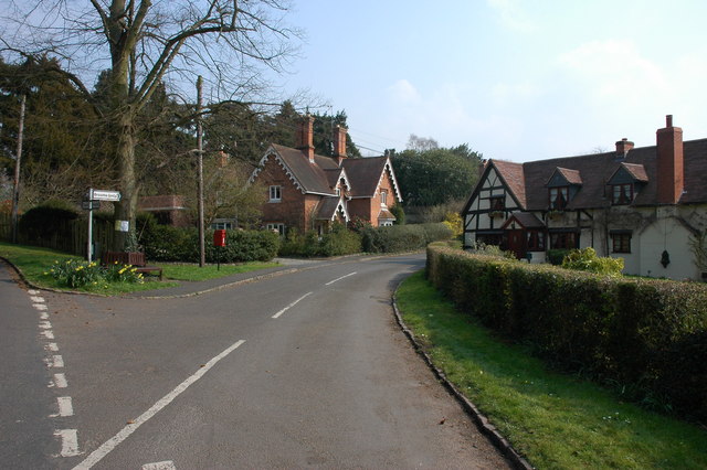
This quaint settlement comprises a handful of houses and cottages dispersed along a single road. The properties in Hackman's Gate retain their traditional architectural style, with many displaying charming thatched roofs and timber frames, adding to the area's idyllic appeal. The overall ambiance of the hamlet exudes a sense of tranquility and peacefulness, making it an ideal retreat for those seeking a break from the hustle and bustle of city life.
Although small in size, Hackman's Gate is not devoid of amenities. The hamlet is home to a local pub, providing a welcoming atmosphere for residents and visitors alike. Additionally, the surrounding countryside offers ample opportunities for outdoor activities, such as walking, hiking, and cycling, with numerous footpaths and bridleways crisscrossing the area.
Hackman's Gate's location in Worcestershire offers easy access to nearby attractions and amenities. The town of Bromsgrove, with its range of shops, restaurants, and leisure facilities, is a short drive away, providing residents with convenient access to essential services. Furthermore, the beautiful Lickey Hills Country Park lies to the west, offering stunning panoramic views and a variety of recreational activities.
Overall, Hackman's Gate is a charming and peaceful hamlet, offering a serene countryside lifestyle while remaining within reach of essential amenities and nearby attractions.
If you have any feedback on the listing, please let us know in the comments section below.
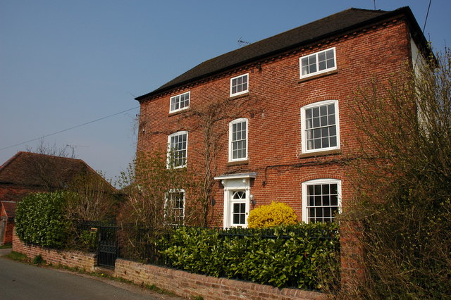
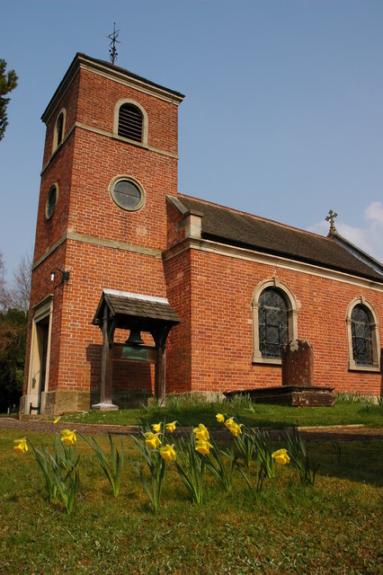
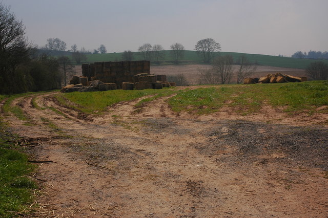
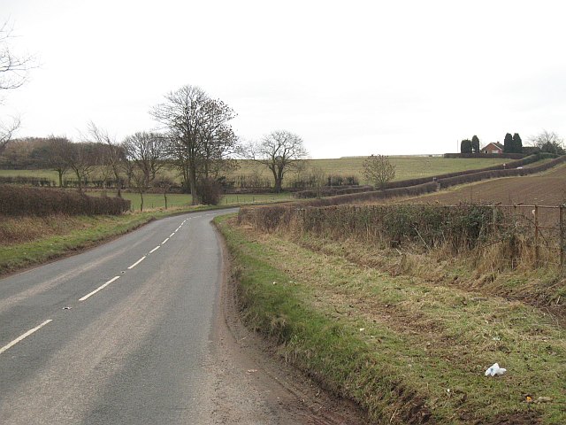
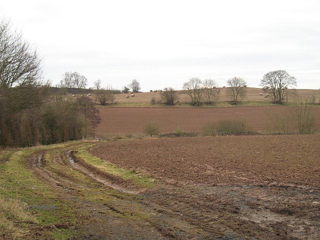
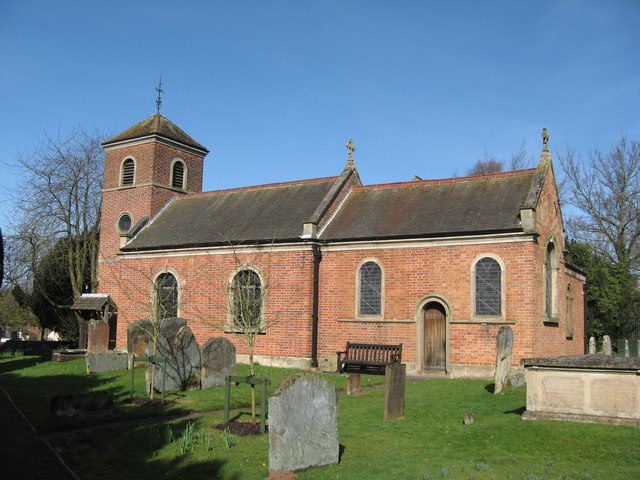
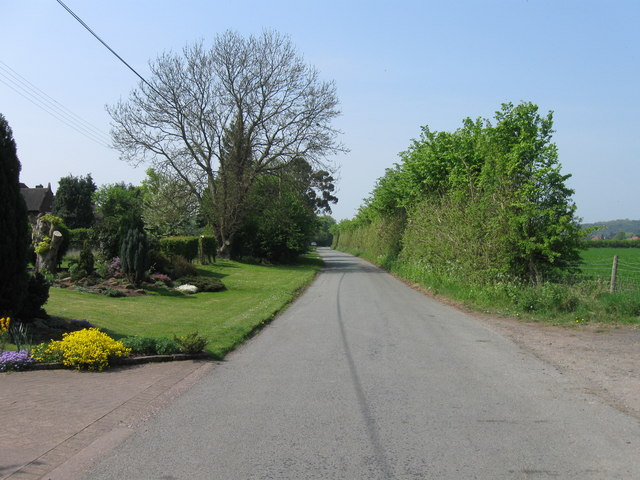
Hackman's Gate Images
Images are sourced within 2km of 52.399702/-2.154587 or Grid Reference SO8977. Thanks to Geograph Open Source API. All images are credited.


Hackman's Gate is located at Grid Ref: SO8977 (Lat: 52.399702, Lng: -2.154587)
Administrative County: Worcestershire
District: Wyre Forest
Police Authority: West Mercia
What 3 Words
///wrenching.boring.drove. Near Belbroughton, Worcestershire
Nearby Locations
Related Wikis

Hackmans Gate
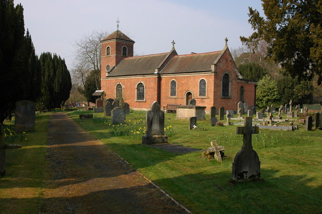
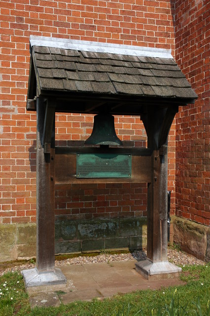
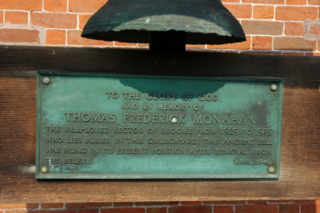
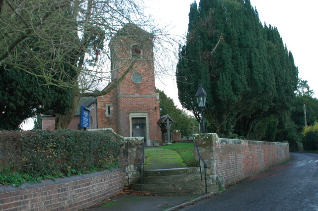
Hackmans Gate is a hamlet in the parish of Broome, and the district of Wyre Forest District of Worcestershire, England.

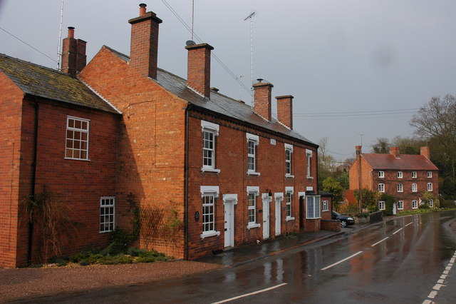
Broome, Worcestershire
Broome is a village and civil parish in the Wyre Forest District of Worcestershire, England. According to the 2001 census it had a population of 338. The...
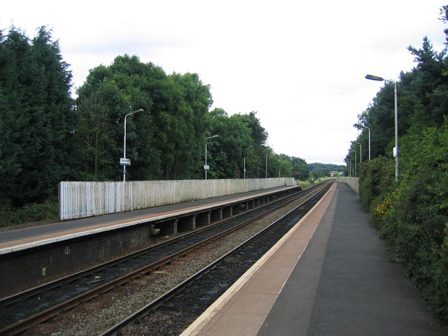
Blakedown railway station
Blakedown railway station serves the English village of Blakedown, Worcestershire. It was opened as Churchill in 1852, later becoming known for a time...

Blakedown
Blakedown is a village in the Wyre Forest District lying along the A456 in the north of the county of Worcestershire, England. Following enclosures and...

King's Norton and Northfield Urban District
King's Norton and Northfield Urban District was a local government administrative district in north Worcestershire, England, from 1898 until 1911. Much...
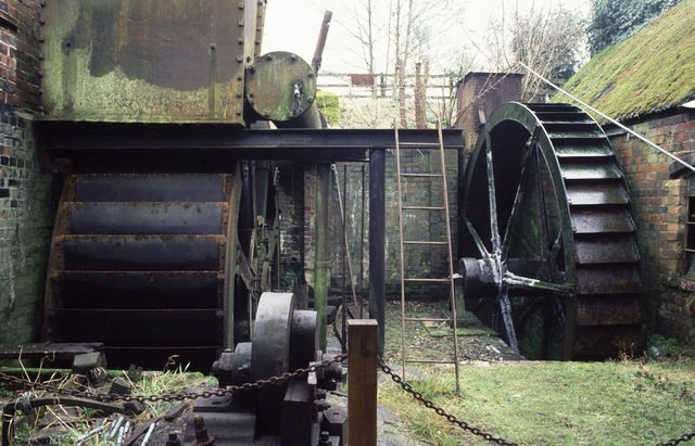
Churchill Forge Mill
Churchill Forge Mill, situated in the Worcestershire village of Churchill, is one of the last water-powered forge mills remaining in an intact state in...

Churchill, Wyre Forest
Churchill is a village and former civil parish, now in the parish of Churchill and Blakedown, in the Wyre Forest district of Worcestershire, England. It...
Drayton, Worcestershire
Drayton is a hamlet in Worcestershire, England which remains part of the ecclesiastical parish of Chaddesley Corbett, which from its select vestry formed...
Nearby Amenities
Located within 500m of 52.399702,-2.154587Have you been to Hackman's Gate?
Leave your review of Hackman's Gate below (or comments, questions and feedback).