Yieldingtree
Settlement in Worcestershire Wyre Forest
England
Yieldingtree
Yieldingtree is a small village located in the county of Worcestershire, England. Situated amidst the picturesque countryside, it is known for its serene and tranquil atmosphere. The village is nestled within the Malvern Hills Area of Outstanding Natural Beauty, which adds to its appeal for nature lovers and outdoor enthusiasts.
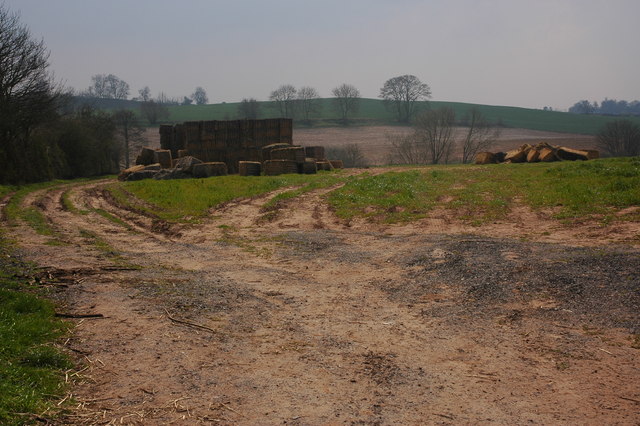
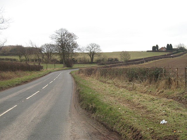
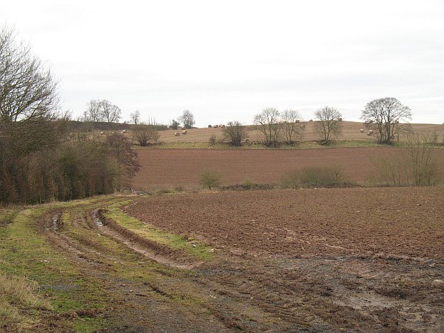
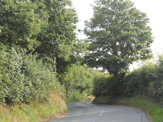
The name "Yieldingtree" is believed to have originated from the dense forests that once covered the area, suggesting a place abundant in trees. Today, the village retains its green character, with lush fields and woodlands surrounding it. The landscape offers breathtaking views of rolling hills, making it an ideal destination for hiking, cycling, and leisurely walks.
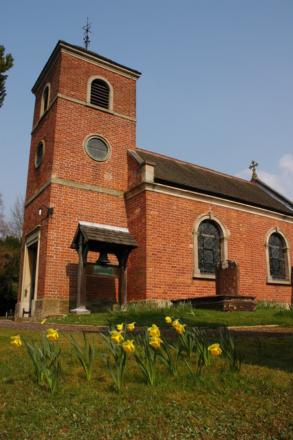
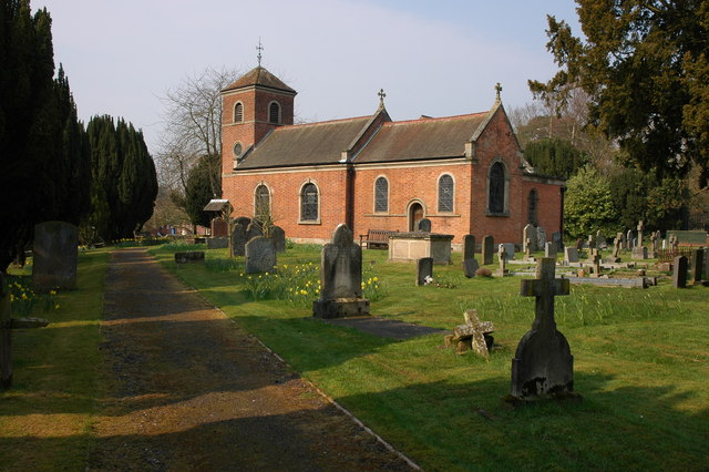
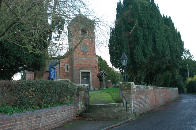
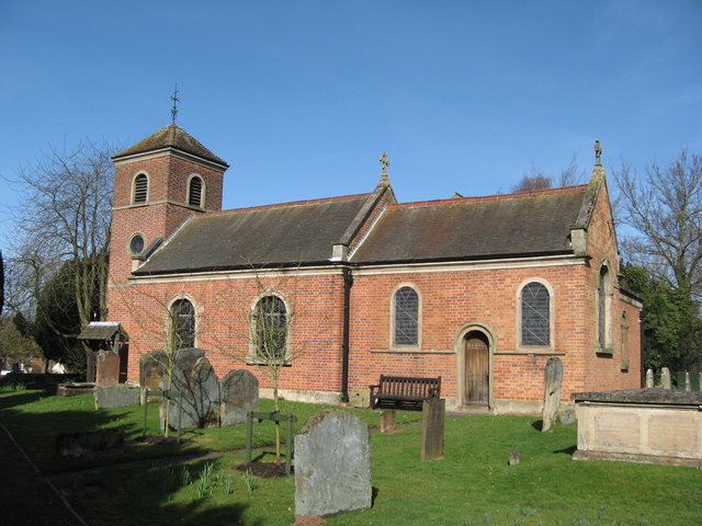
Despite its small size, Yieldingtree boasts a strong sense of community. It has a close-knit population that takes pride in its village heritage. The heart of the village is the historic St. Mary's Church, dating back several centuries, which serves as a focal point for community gatherings and events.
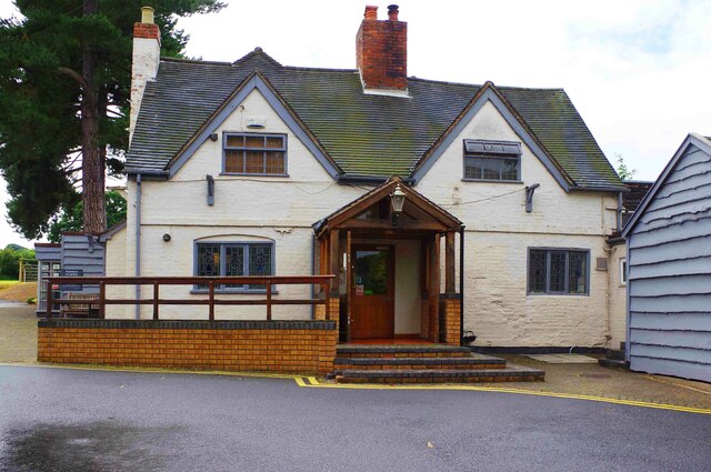
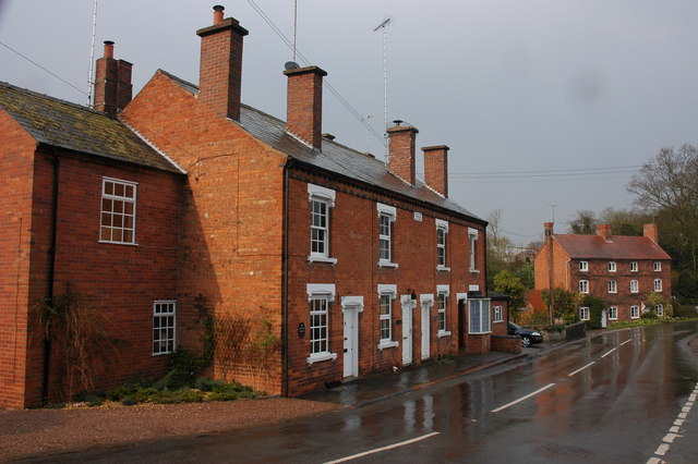
Yieldingtree is also home to a few quaint cottages and traditional houses, reflecting its rural charm. While there are no major commercial establishments within the village itself, nearby towns provide essential amenities and services.
Overall, Yieldingtree offers a peaceful countryside retreat for those seeking an escape from the hustle and bustle of city life. Its natural beauty, community spirit, and rich history make it a hidden gem in Worcestershire.
If you have any feedback on the listing, please let us know in the comments section below.
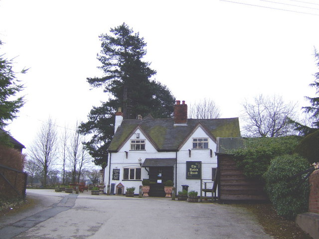
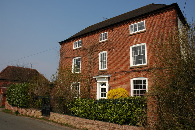
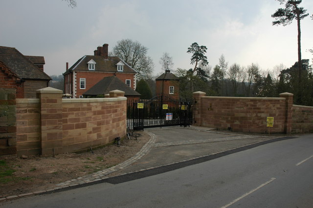
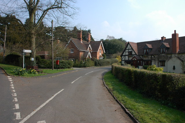
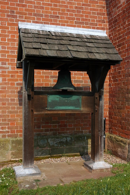
Yieldingtree Images
Images are sourced within 2km of 52.394861/-2.1540407 or Grid Reference SO8977. Thanks to Geograph Open Source API. All images are credited.


Yieldingtree is located at Grid Ref: SO8977 (Lat: 52.394861, Lng: -2.1540407)
Administrative County: Worcestershire
District: Wyre Forest
Police Authority: West Merica
What 3 Words
///bubble.tripods.employ. Near Belbroughton, Worcestershire
Nearby Locations
Related Wikis

Hackmans Gate
Hackmans Gate is a hamlet in the parish of Broome, and the district of Wyre Forest District of Worcestershire, England.

Broome, Worcestershire
Broome is a village and civil parish in the Wyre Forest District of Worcestershire, England. According to the 2001 census it had a population of 338. The...
Drayton, Worcestershire
Drayton is a hamlet in Worcestershire, England which remains part of the ecclesiastical parish of Chaddesley Corbett, which from its select vestry formed...

Blakedown
Blakedown is a village in the Wyre Forest District lying along the A456 in the north of the county of Worcestershire, England. Following enclosures and...
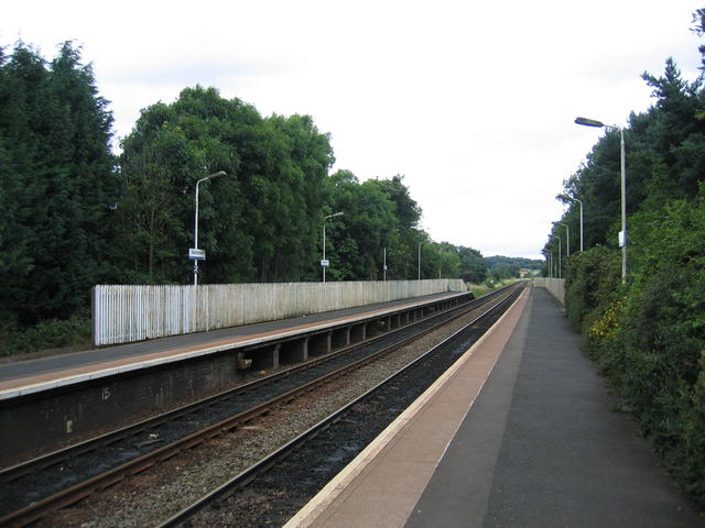
Blakedown railway station
Blakedown railway station serves the English village of Blakedown, Worcestershire. It was opened as Churchill in 1852, later becoming known for a time...

King's Norton and Northfield Urban District
King's Norton and Northfield Urban District was a local government administrative district in north Worcestershire, England, from 1898 until 1911. Much...

Belbroughton
Belbroughton ( bel-BRAW-tən) is a village and civil parish in the Bromsgrove District of Worcestershire, England. According to the 2021 census it had...
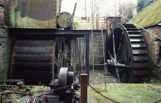
Churchill Forge Mill
Churchill Forge Mill, situated in the Worcestershire village of Churchill, is one of the last water-powered forge mills remaining in an intact state in...
Nearby Amenities
Located within 500m of 52.394861,-2.1540407Have you been to Yieldingtree?
Leave your review of Yieldingtree below (or comments, questions and feedback).