Brocton
Civil Parish in Staffordshire Stafford
England
Brocton
Brocton is a civil parish located in the county of Staffordshire, England. Situated approximately 4 miles to the east of Stafford, it is a small but vibrant community with a population of around 1,500 residents.
The parish is set in a picturesque rural area, surrounded by beautiful countryside and farmland. It is known for its tranquil and peaceful setting, making it an attractive place to live for those seeking a quieter lifestyle.
Despite its small size, Brocton offers a range of amenities and facilities to its residents. These include a primary school, a village hall, a post office, and a local pub. The parish also benefits from excellent transport links, with easy access to major roads such as the A34 and the M6 motorway.
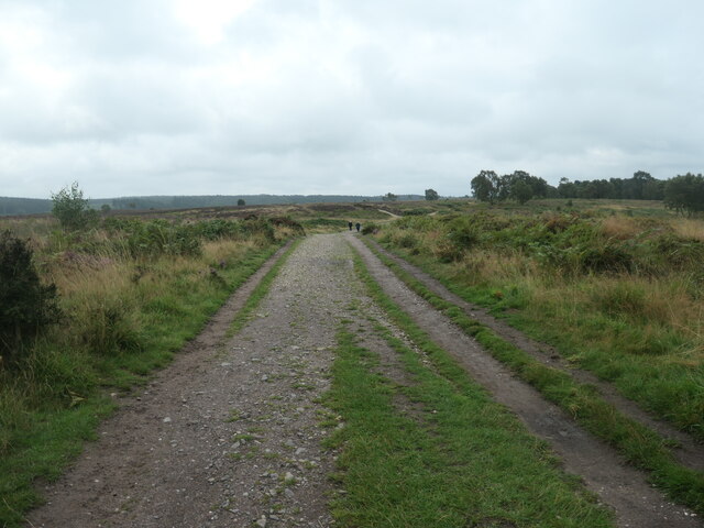
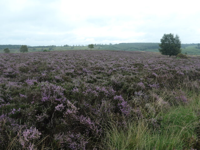
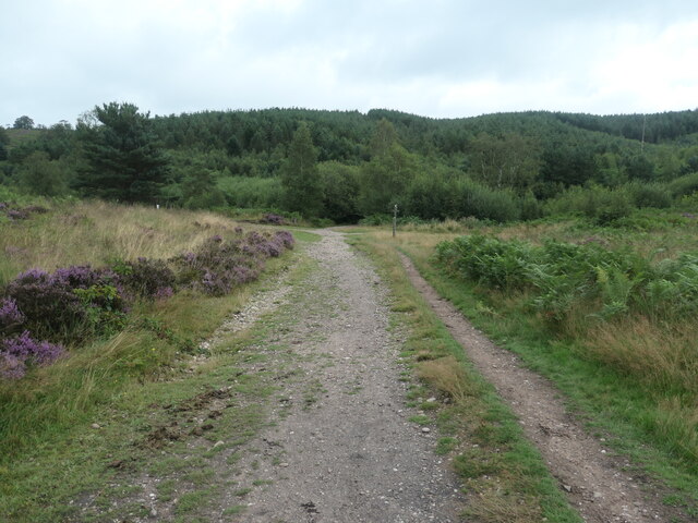
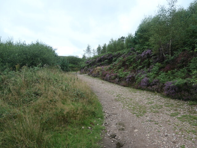
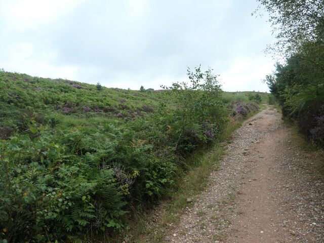
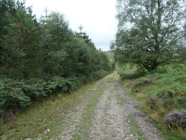
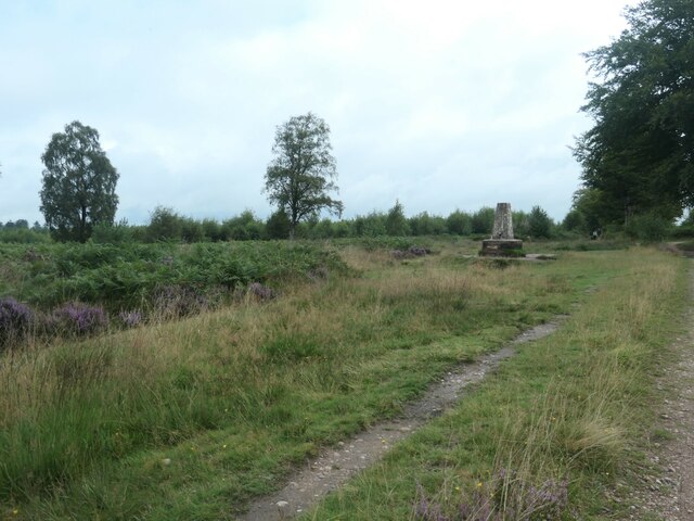
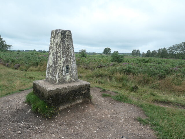
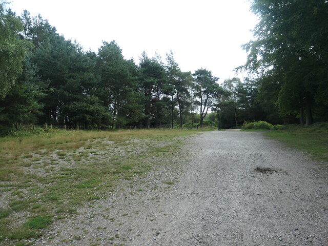
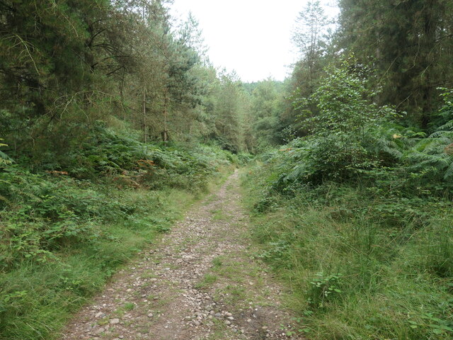
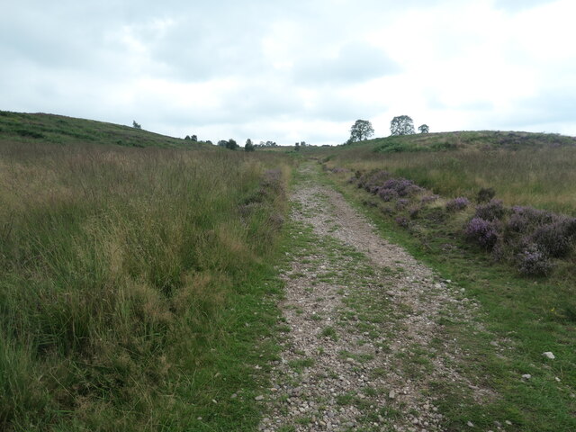
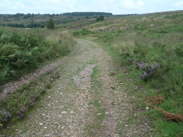
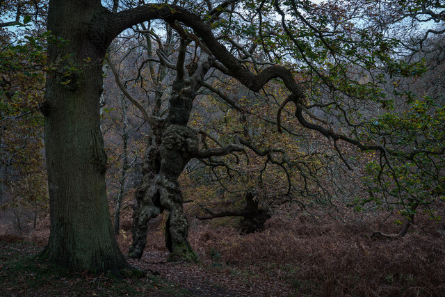
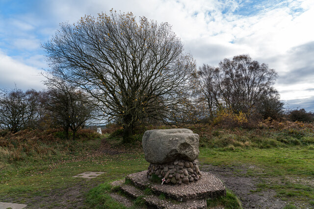
One of the main attractions in Brocton is Cannock Chase, a designated Area of Outstanding Natural Beauty. This vast heathland and forest, located just to the north of the parish, offers a wealth of recreational activities such as hiking, cycling, and wildlife spotting. It is a popular destination for both locals and tourists alike, providing a tranquil escape from the hustle and bustle of urban life.
Overall, Brocton is a charming and close-knit community that prides itself on its beautiful surroundings and strong community spirit. Its rural location, combined with its range of amenities and proximity to Cannock Chase, makes it an appealing place to live for those seeking a peaceful and idyllic lifestyle.
If you have any feedback on the listing, please let us know in the comments section below.
Brocton Images
Images are sourced within 2km of 52.760226/-2.030138 or Grid Reference SJ9818. Thanks to Geograph Open Source API. All images are credited.
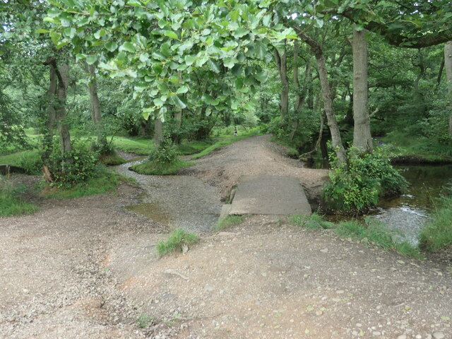
![Sher Brook, at the stepping stones Looking upstream [locally south].](https://s1.geograph.org.uk/geophotos/06/94/54/6945489_b6c7d9b6.jpg)
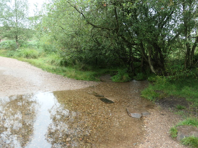
![Sher Brook, looking downstream [locally north] The brook is a civil parish boundary here, between Brocton and Rugeley.](https://s1.geograph.org.uk/geophotos/06/94/91/6949105_1d41f530.jpg)
Brocton is located at Grid Ref: SJ9818 (Lat: 52.760226, Lng: -2.030138)
Administrative County: Staffordshire
District: Stafford
Police Authority: Staffordshire
What 3 Words
///similar.playroom.exchanges. Near Colwich, Staffordshire
Nearby Locations
Related Wikis

Brocton, Staffordshire
Brocton is a village and civil parish in the English county of Staffordshire. It is within the borough of Stafford. The village describes itself as the...

Cannock Chase German Military Cemetery
The Cannock Chase German Military Cemetery (grid reference SJ984157) is on Cannock Chase, Staffordshire, England. The cemetery contains nearly 5,000 burials...

Cannock Chase
Cannock Chase (grid reference SK000165), often referred to locally as The Chase, is a mixed area of countryside in the county of Staffordshire, England...

Bednall
Bednall is a village in Staffordshire, England. == Location == Bednall lies somewhat remote from main roads, in dairy-farming countryside some 2.5 miles...

Milford, Staffordshire
Milford is a village in the county of Staffordshire, England. It lies at the edge of Cannock Chase, on the A513 road between Stafford and Rugeley. Just...

Milford and Brocton railway station
Milford and Brocton railway station served the villages of Milford and Brocton in Staffordshire, England from 1877 to 1950 on the Trent Valley line....
Acton Trussell and Bednall
Acton Trussell and Bednall is a civil parish in the South Staffordshire district of Staffordshire, England. As the name indicates, it contains the two...

Milford Hall
Milford Hall is a privately owned 18th-century English country house at Milford, near Stafford. It is the family seat of the Levett Haszard family and...
Nearby Amenities
Located within 500m of 52.760226,-2.030138Have you been to Brocton?
Leave your review of Brocton below (or comments, questions and feedback).