Sherbrook Valley
Valley in Staffordshire Stafford
England
Sherbrook Valley
Sherbrook Valley is a picturesque and serene valley located in Staffordshire, England. Nestled in the heart of the Staffordshire Moorlands, this valley is renowned for its stunning natural beauty and tranquil surroundings.
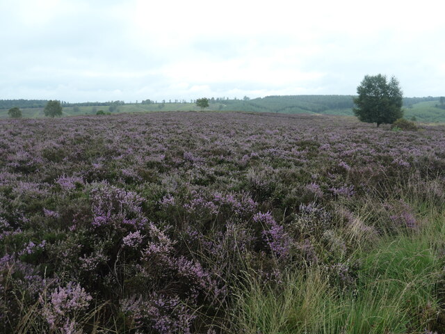
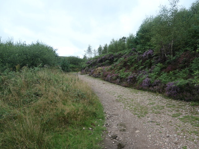
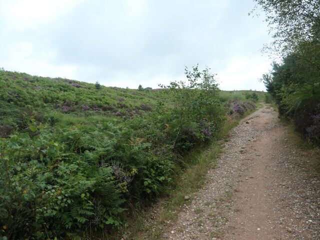
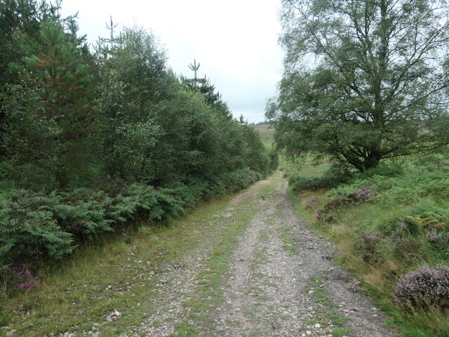
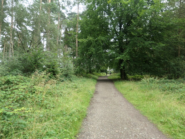
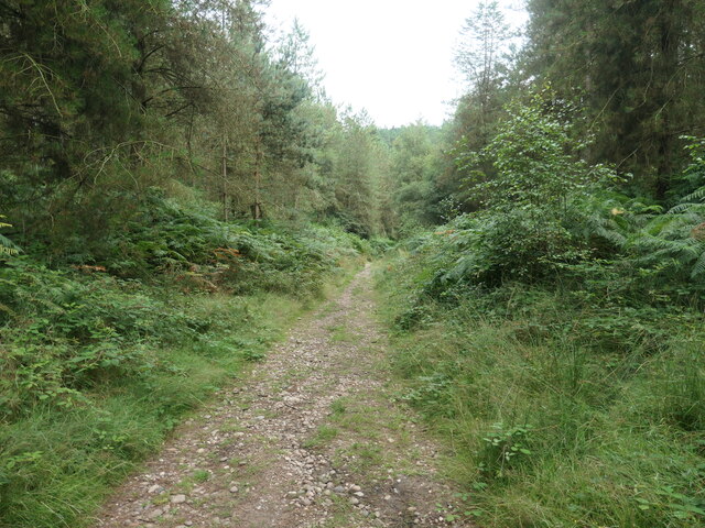
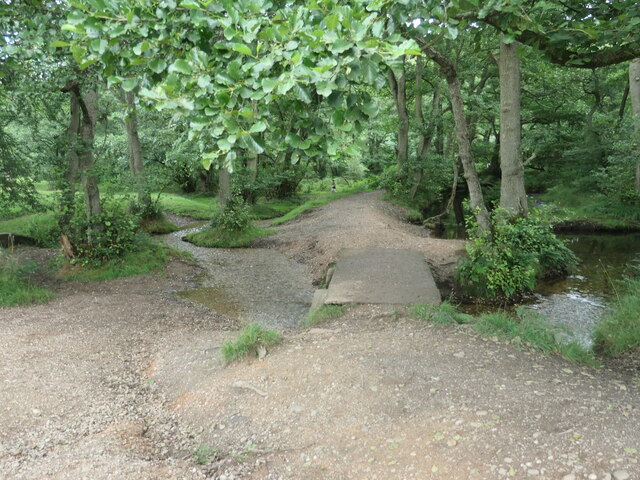
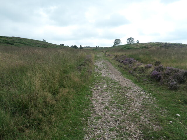
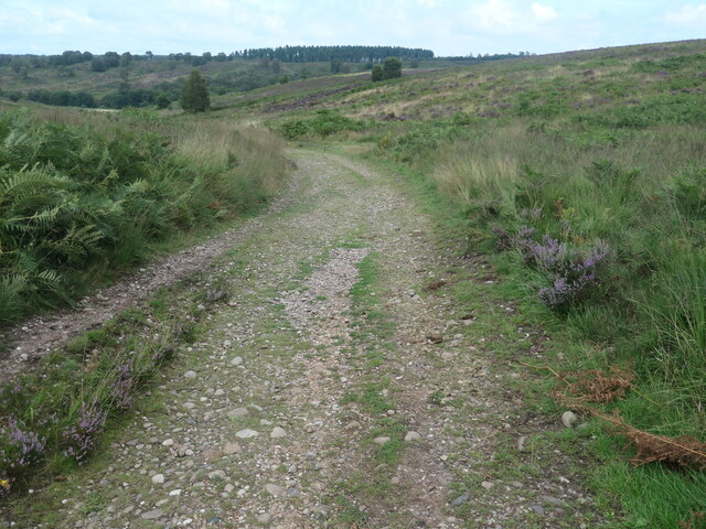
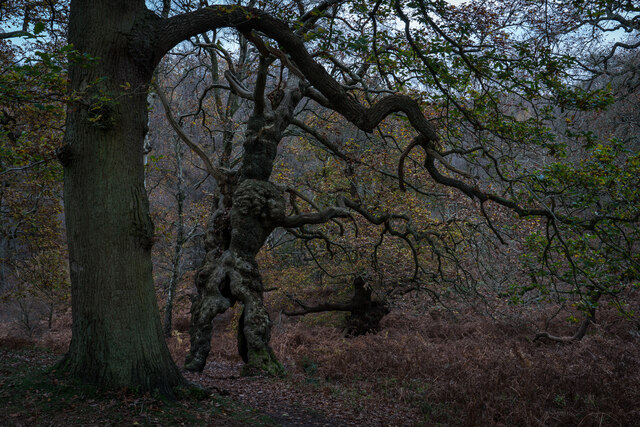
The valley is characterized by rolling hills, lush green meadows, and dense woodlands, creating a diverse and captivating landscape. It is home to a wide variety of flora and fauna, making it a haven for nature enthusiasts and wildlife lovers. The Sherbrook River meanders through the valley, adding to its charm and providing a peaceful ambiance.
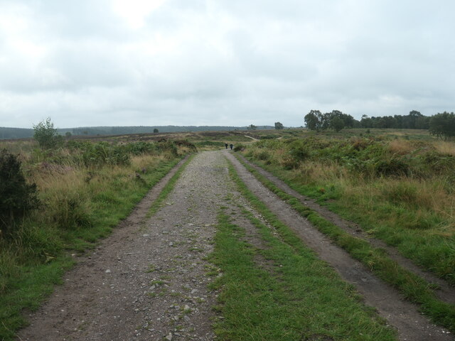
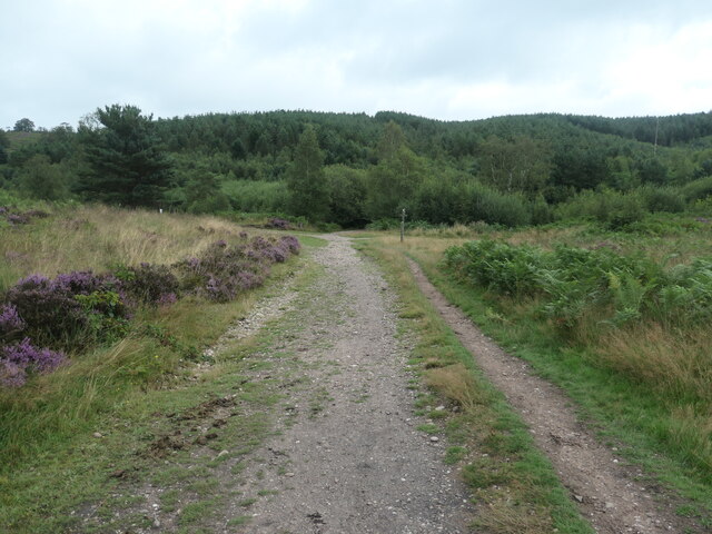
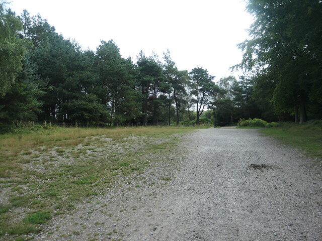
Sherbrook Valley is a popular destination for outdoor activities such as hiking, walking, and birdwatching. The valley is crisscrossed by numerous well-maintained trails and footpaths, allowing visitors to explore its hidden treasures and enjoy breathtaking views along the way. The trails cater to all levels of fitness and offer opportunities to discover the valley's rich biodiversity.
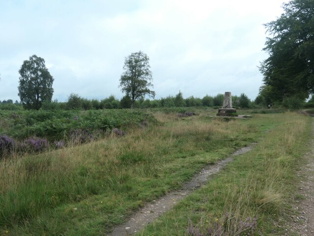
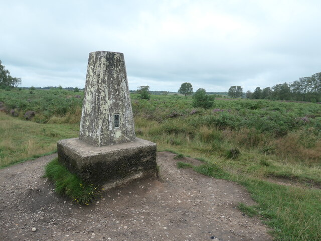
The valley also boasts several historical landmarks. The ruins of Sherbrook Castle, dating back to the Norman era, stand as a testament to the area's fascinating past. The castle ruins offer visitors a glimpse into the region's history and provide a perfect spot for a leisurely stroll or a quiet picnic.
Sherbrook Valley is a place where visitors can escape the hustle and bustle of everyday life and immerse themselves in the beauty of nature. Its idyllic setting and peaceful atmosphere make it an ideal destination for those seeking relaxation and a connection with the natural world. Whether it's exploring the trails, admiring the wildlife, or simply enjoying the stunning scenery, Sherbrook Valley offers a truly unforgettable experience for all who visit.
If you have any feedback on the listing, please let us know in the comments section below.
Sherbrook Valley Images
Images are sourced within 2km of 52.763183/-2.0184967 or Grid Reference SJ9818. Thanks to Geograph Open Source API. All images are credited.
![Sher Brook, at the stepping stones Looking upstream [locally south].](https://s1.geograph.org.uk/geophotos/06/94/54/6945489_b6c7d9b6.jpg)
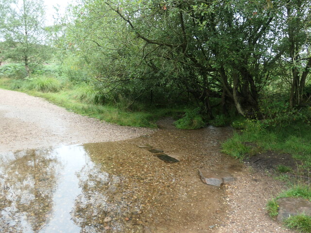
![Sher Brook, looking downstream [locally north] The brook is a civil parish boundary here, between Brocton and Rugeley.](https://s1.geograph.org.uk/geophotos/06/94/91/6949105_1d41f530.jpg)
Sherbrook Valley is located at Grid Ref: SJ9818 (Lat: 52.763183, Lng: -2.0184967)
Administrative County: Staffordshire
District: Stafford
Police Authority: Staffordshire
What 3 Words
///pasting.ushering.pest. Near Colwich, Staffordshire
Nearby Locations
Related Wikis

Cannock Chase
Cannock Chase (grid reference SK000165), often referred to locally as The Chase, is a mixed area of countryside in the county of Staffordshire, England...

Brocton, Staffordshire
Brocton is a village and civil parish in the English county of Staffordshire. It is within the borough of Stafford. The village describes itself as the...

Cannock Chase German Military Cemetery
The Cannock Chase German Military Cemetery (grid reference SJ984157) is on Cannock Chase, Staffordshire, England. The cemetery contains nearly 5,000 burials...

Milford, Staffordshire
Milford is a village in the county of Staffordshire, England. It lies at the edge of Cannock Chase, on the A513 road between Stafford and Rugeley. Just...

Milford and Brocton railway station
Milford and Brocton railway station served the villages of Milford and Brocton in Staffordshire, England from 1877 to 1950 on the Trent Valley line....

Shugborough Tunnel
The Shugborough Tunnel is a 777-yard (710 m) railway tunnel on the Trent Valley line running under part of the Shugborough Estate in Colwich, Staffordshire...
Colwich rail crash
The Colwich rail crash occurred on the evening of Friday 19 September 1986 at Colwich Junction, Staffordshire, England. It was significant in that it...

Colwich railway station
Colwich railway station is a disused railway station in Colwich, Staffordshire, England. The former station is adjacent to Colwich Junction, where the...
Nearby Amenities
Located within 500m of 52.763183,-2.0184967Have you been to Sherbrook Valley?
Leave your review of Sherbrook Valley below (or comments, questions and feedback).