Coppice Hill
Hill, Mountain in Staffordshire Stafford
England
Coppice Hill
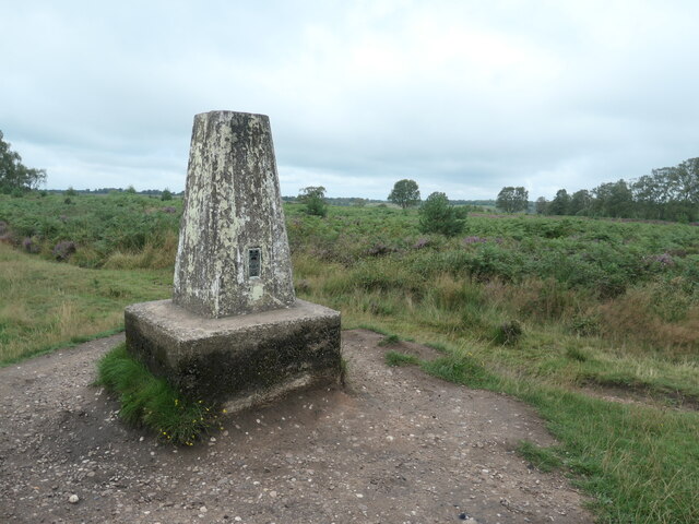
Coppice Hill is a modest hill located in Staffordshire, England. Situated in the beautiful countryside, it forms part of the Cannock Chase Area of Outstanding Natural Beauty. Despite its name, Coppice Hill is not a mountain but rather a small hill, with an elevation of approximately 199 meters (653 feet) above sea level.
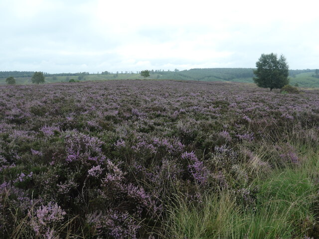
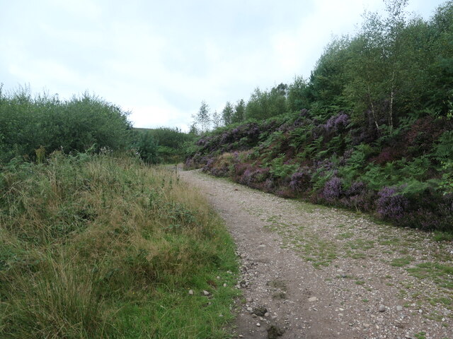
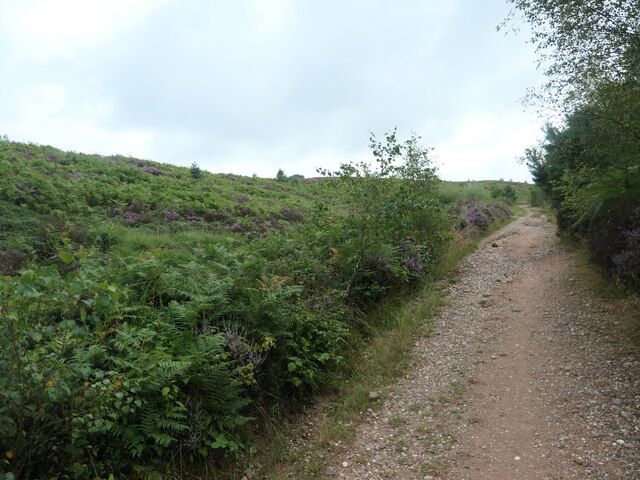
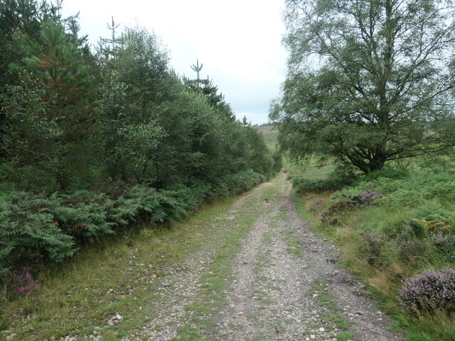
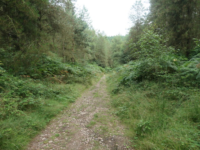
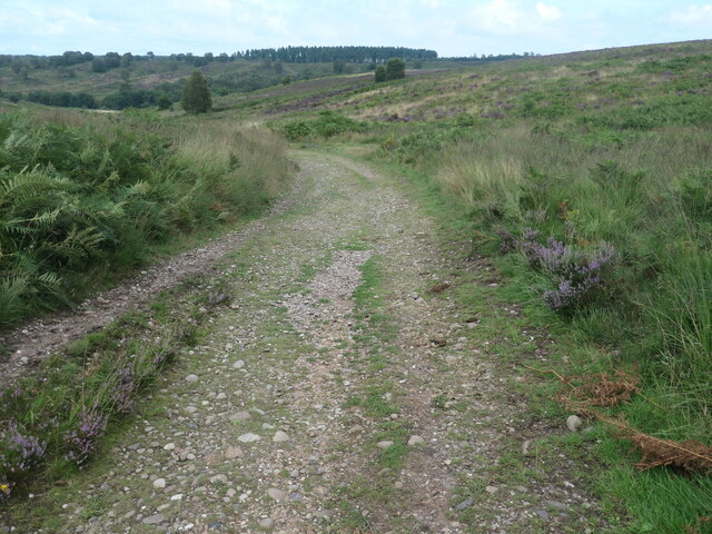
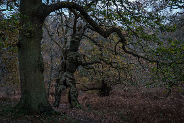
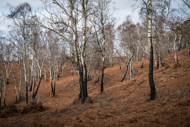
The hill is known for its lush greenery and is covered with a dense forest of coppiced trees, hence the name. Coppicing is a traditional method of woodland management, where trees are regularly cut back to the stump, promoting new growth. This practice has been carried out on Coppice Hill for centuries, resulting in a diverse and vibrant woodland ecosystem.
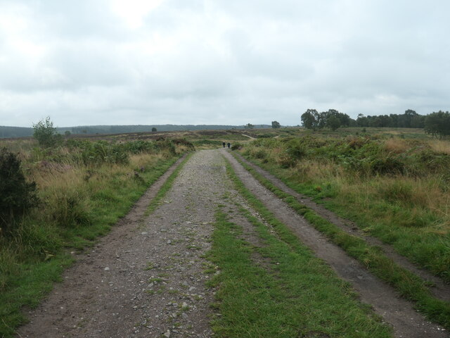
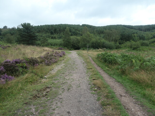
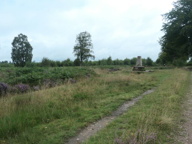
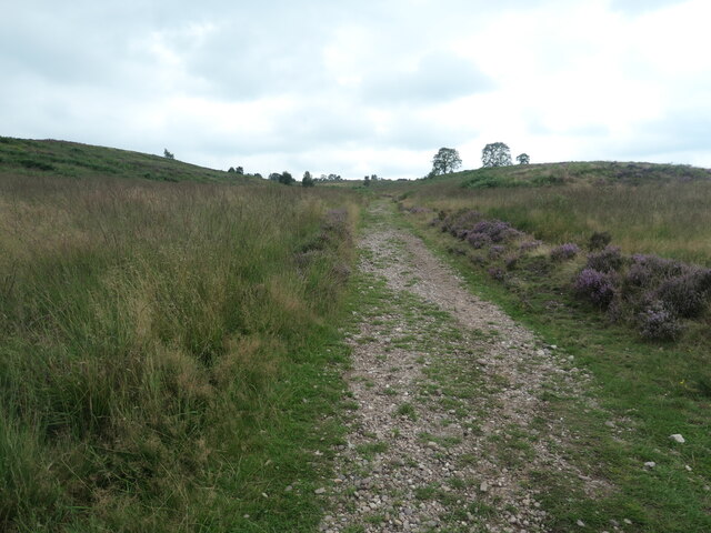
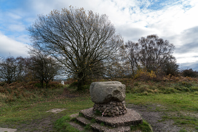
The hill offers a range of recreational opportunities for visitors. There are several walking trails that wind their way through the woods, allowing hikers to explore the area and take in the stunning views. The hill is also a popular spot for nature enthusiasts, as it is home to a variety of flora and fauna, including deer, rabbits, and a wide array of bird species.
Coppice Hill is easily accessible, located just a short distance from the town of Cannock. It provides a peaceful retreat for those seeking a break from the hustle and bustle of city life. Whether it's a leisurely stroll through the woods or a more challenging hike up the hill, Coppice Hill offers a tranquil and scenic escape for nature lovers and outdoor enthusiasts alike.
If you have any feedback on the listing, please let us know in the comments section below.
Coppice Hill Images
Images are sourced within 2km of 52.768241/-2.0305337 or Grid Reference SJ9818. Thanks to Geograph Open Source API. All images are credited.
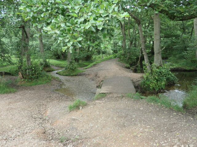
![Sher Brook, at the stepping stones Looking upstream [locally south].](https://s1.geograph.org.uk/geophotos/06/94/54/6945489_b6c7d9b6.jpg)
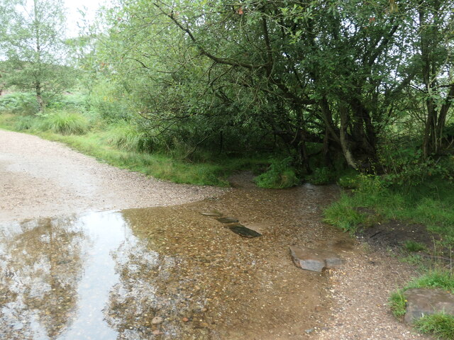
![Sher Brook, looking downstream [locally north] The brook is a civil parish boundary here, between Brocton and Rugeley.](https://s1.geograph.org.uk/geophotos/06/94/91/6949105_1d41f530.jpg)
Coppice Hill is located at Grid Ref: SJ9818 (Lat: 52.768241, Lng: -2.0305337)
Administrative County: Staffordshire
District: Stafford
Police Authority: Staffordshire
What 3 Words
///exacts.catapult.racks. Near Colwich, Staffordshire
Nearby Locations
Related Wikis

Brocton, Staffordshire
Brocton is a village and civil parish in the English county of Staffordshire. It is within the borough of Stafford. The village describes itself as the...

Milford, Staffordshire
Milford is a village in the county of Staffordshire, England. It lies at the edge of Cannock Chase, on the A513 road between Stafford and Rugeley. Just...

Milford and Brocton railway station
Milford and Brocton railway station served the villages of Milford and Brocton in Staffordshire, England from 1877 to 1950 on the Trent Valley line....

Shugborough Tunnel
The Shugborough Tunnel is a 777-yard (710 m) railway tunnel on the Trent Valley line running under part of the Shugborough Estate in Colwich, Staffordshire...
Related Videos

Product Preview: On Cloudwander & Cloudtrax Hiking Boots / Shoes | Run and Ride
On Cloudtrax Walking Boot // Designed for both street and mountain peak, this hiking boot is engineered to give you ideal comfort ...

SHUGBOROUGH ESTATE #nationaltrust#walking #explore #shrugburgh #daytrip #estate
The Shugborough Estate is a rich blend of landscape,monuments,gardens,and architecture shaped by travel and adventure.

WALK WITH THOMAS | CANAL WALK | STAFFORDSHIRE
Walk with me as I take you on adventure, this time we are walking along the Great Haywood towpath towards the Shugborough ...

Walking Ambience - Cannock Chase #1 - ASMR
Welcome back to another ASMR walking video! Today, I'm out on a section of Cannock Chase, not far from Stafford (my home ...
Nearby Amenities
Located within 500m of 52.768241,-2.0305337Have you been to Coppice Hill?
Leave your review of Coppice Hill below (or comments, questions and feedback).