Brockworth

Civil Parish in Gloucestershire Tewkesbury

England

Brockworth

Stone Stile, Witcombe On Gloucestershire footpaths ABA68 & ABA66, 115 yards from the Cirencester Road, Ermin Way. The view from the other side is <a href="https://www.geograph.org.uk/photo/7198210">SO9015 : Stone Stile, Witcombe</a>.
Stone Stile, Witcombe Credit: Mary Harris

Brockworth is a civil parish located in the county of Gloucestershire, England. It is situated approximately 4 miles east of the city of Gloucester and is part of the Tewkesbury Borough. The parish covers an area of about 7.5 square miles and is bordered by the parishes of Hucclecote, Upton St. Leonards, and Witcombe.

The village of Brockworth itself is set on the slopes of the Cotswold Hills, offering picturesque views of the surrounding countryside. It has a population of around 8,000 residents. The village has a rich history, with evidence of human settlement dating back to the Roman period. It was mentioned in the Domesday Book of 1086 as "Brocheworde," indicating its long-standing presence in the region.

The parish is known for its strong sense of community and its various amenities. It has a primary school, a post office, a library, and a range of local shops and services. The village also boasts several pubs, restaurants, and cafes, providing a vibrant social scene for residents and visitors alike.

Brockworth is well-connected to the rest of the county and beyond, with easy access to major road networks such as the M5 motorway and the A417. The nearby city of Gloucester offers further amenities and transport links, including a railway station with connections to major cities across the UK.

Overall, Brockworth is a charming and well-established civil parish that combines a rural setting with convenient access to nearby urban areas.

If you have any feedback on the listing, please let us know in the comments section below.
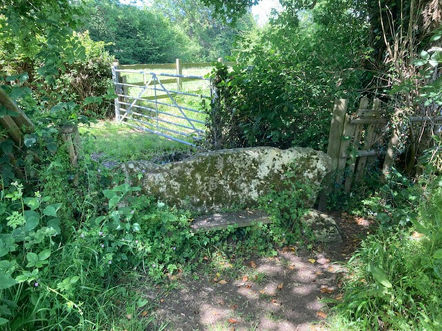
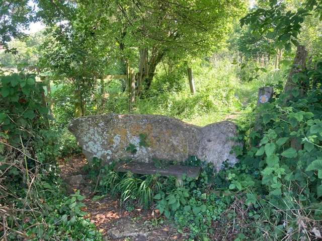
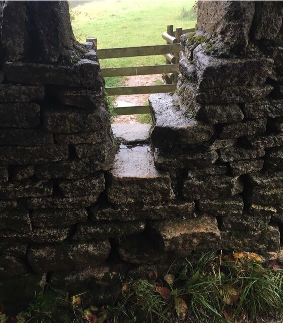
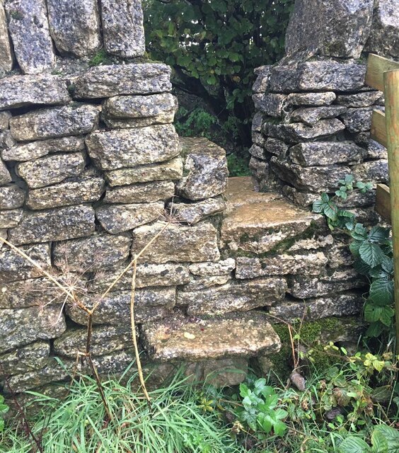
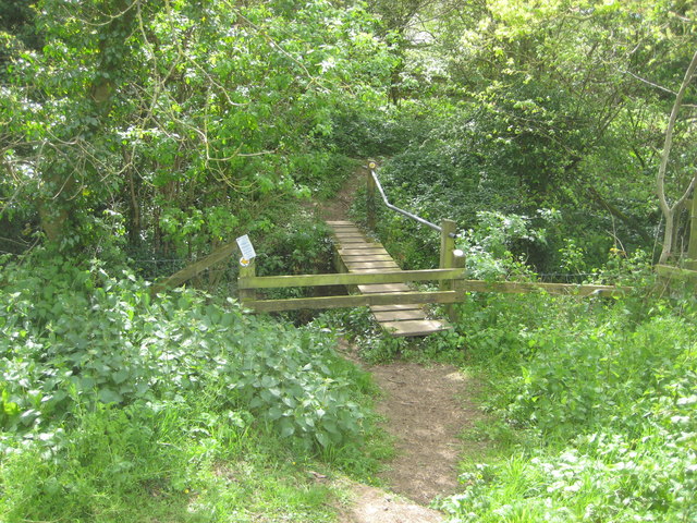
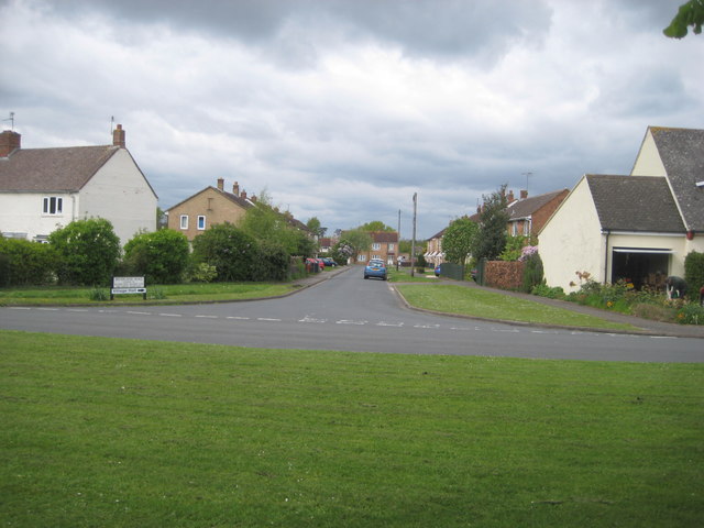
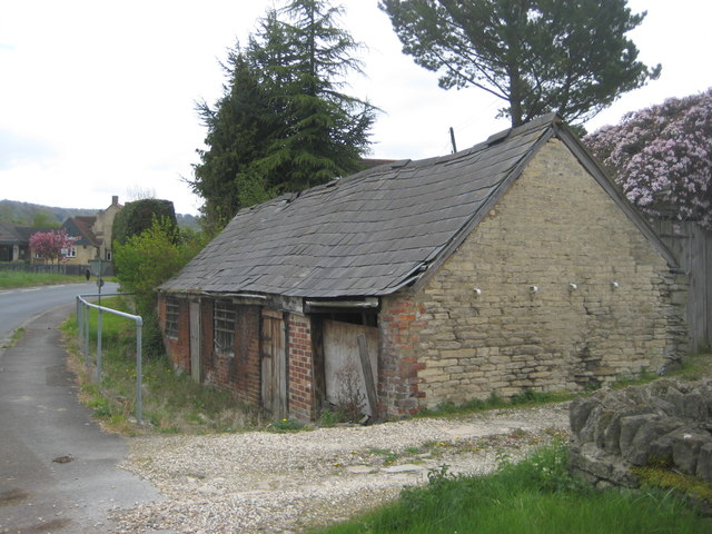
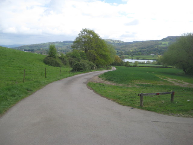
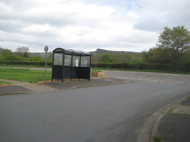
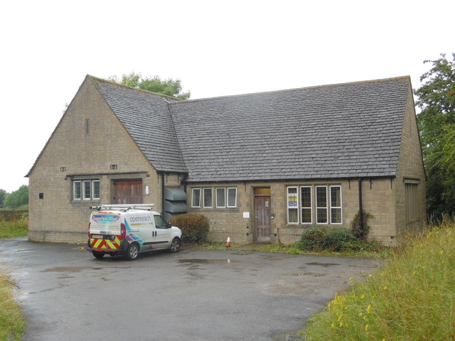
Brockworth Images

Images are sourced within 2km of 51.844027/-2.158541 or Grid Reference SO8916. Thanks to Geograph Open Source API. All images are credited.

Stone Stile, Witcombe On Gloucestershire footpaths ABA68 & ABA66, 115 yards from the Cirencester Road, Ermin Way. The view from the other side is <a href="https://www.geograph.org.uk/photo/7198210">SO9015 : Stone Stile, Witcombe</a>.
Stone Stile, Witcombe
On Gloucestershire footpaths ABA68 & ABA66, 115 yards from the Cirencester Road, Ermin Way. The view from the other side is SO9015 : Stone Stile, Witcombe.
Stone Stile, Witcombe On Gloucestershire footpaths ABA68 & ABA66, 115 yards from the Cirencester Road, Ermin Way. The view from the other side is <a href="https://www.geograph.org.uk/photo/7198209">SO9015 : Stone Stile, Witcombe</a>.
Stone Stile, Witcombe
On Gloucestershire footpaths ABA68 & ABA66, 115 yards from the Cirencester Road, Ermin Way. The view from the other side is SO9015 : Stone Stile, Witcombe.
Stone Stile, Ullenwood GS7600 Not on a public right of way, but off bridleway ACO17. This view is from the track, the view from the field is <a href="https://www.geograph.org.uk/photo/7218499">SO9015 : Stone Stile, Ullenwood GS7600</a>.
Stone Stile, Ullenwood GS7600
Not on a public right of way, but off bridleway ACO17. This view is from the track, the view from the field is SO9015 : Stone Stile, Ullenwood GS7600.
Stone Stile, Ullenwood GS7600 Not on a public right of way, but off bridleway ACO17. This view is from the field, the view from the track is <a href="https://www.geograph.org.uk/photo/7218497">SO9015 : Stone Stile, Ullenwood GS7600</a>.
Stone Stile, Ullenwood GS7600
Not on a public right of way, but off bridleway ACO17. This view is from the field, the view from the track is SO9015 : Stone Stile, Ullenwood GS7600.
Footbridge over A417 east of Brockworth
Across the stream A small wooden foot bridge spans a small stream on a local foot path.
Across the stream
A small wooden foot bridge spans a small stream on a local foot path.
Less than traditional Bryerland Road. Modern houses form a small estate rather than traditional Cotswold stone.
Less than traditional
Bryerland Road. Modern houses form a small estate rather than traditional Cotswold stone.
Access denied A roadside farm building in need of some TLC.
Unless there are doors at the rear entering and leaving could be an issue.
As the doors are below road level.
Access denied
A roadside farm building in need of some TLC. Unless there are doors at the rear entering and leaving could be an issue. As the doors are below road level.
Witcombe reservoir  Viewed from the car park to the Roman villa.
Witcombe reservoir
Viewed from the car park to the Roman villa.
Community bus stop The location allows the bus to pull off the main road so as not to cause congestion.
Community bus stop
The location allows the bus to pull off the main road so as not to cause congestion.
Brockworth turn off sign from A417
Witcombe Telephone Exchange Situated off Ermin Way, this TE, built of Cotswold stone, would appear to date from the GPO era and used to take the name Witcombe until recently. It has the code SSWCE and serves 2,563 residential and 113 non-residential premises in Birdlip, Brimpsfield, Brockworth, Great Witcombe, Little Witcombe and the surrounding rural area. A BT Openreach van can be seen parked in front of this TE. The numbering range of this TE is (01452) 86xxxx, the (01452) referring to the sixteen TEs in the Gloucester group, and its postcode is GL3 4SP.
Witcombe Telephone Exchange
Situated off Ermin Way, this TE, built of Cotswold stone, would appear to date from the GPO era and used to take the name Witcombe until recently. It has the code SSWCE and serves 2,563 residential and 113 non-residential premises in Birdlip, Brimpsfield, Brockworth, Great Witcombe, Little Witcombe and the surrounding rural area. A BT Openreach van can be seen parked in front of this TE. The numbering range of this TE is (01452) 86xxxx, the (01452) referring to the sixteen TEs in the Gloucester group, and its postcode is GL3 4SP.
Slip road from A46 to eastbound A417 One of the few new cross-country routes created in recent years, the A417 and A419 together form a strategic link between the M4 (junction 15) and the M5 at Gloucester (junction 11A). The major new dual-carriageway route connects Swindon, Cirencester, Cheltenham and Gloucester, and longer distances destinations via the two motorway corridors.

When it was first designated in 1922, the A419 ran from Hungerford, Berkshire, to Gloucester. The section from Cirencester to Gloucester was renumbered the A417 before the Second World War, and the A419 was extended from Cirencester to Stroud. The A417 is a 96 mile trunk road between Streatley in Berkshire to Hope Under Dinmore in Herefordshire.


<span class="nowrap"><a title="http://www.cbrd.co.uk/motorway/a417" rel="nofollow ugc noopener" href="http://www.cbrd.co.uk/motorway/a417">Link</a><img style="margin-left:2px;" alt="External link" title="External link - shift click to open in new window" src="https://s1.geograph.org.uk/img/external.png" width="10" height="10"/></span>  cbrd Motorway database
<span class="nowrap"><a title="http://en.wikipedia.org/wiki/A417_road" rel="nofollow ugc noopener" href="http://en.wikipedia.org/wiki/A417_road">Link</a><img style="margin-left:2px;" alt="External link" title="External link - shift click to open in new window" src="https://s1.geograph.org.uk/img/external.png" width="10" height="10"/></span>  Wikipedia (A417)
<span class="nowrap"><a title="http://en.wikipedia.org/wiki/A419_road" rel="nofollow ugc noopener" href="http://en.wikipedia.org/wiki/A419_road">Link</a><img style="margin-left:2px;" alt="External link" title="External link - shift click to open in new window" src="https://s1.geograph.org.uk/img/external.png" width="10" height="10"/></span>  Wikipedia (A419)
Slip road from A46 to eastbound A417
One of the few new cross-country routes created in recent years, the A417 and A419 together form a strategic link between the M4 (junction 15) and the M5 at Gloucester (junction 11A). The major new dual-carriageway route connects Swindon, Cirencester, Cheltenham and Gloucester, and longer distances destinations via the two motorway corridors. When it was first designated in 1922, the A419 ran from Hungerford, Berkshire, to Gloucester. The section from Cirencester to Gloucester was renumbered the A417 before the Second World War, and the A419 was extended from Cirencester to Stroud. The A417 is a 96 mile trunk road between Streatley in Berkshire to Hope Under Dinmore in Herefordshire. LinkExternal link cbrd Motorway database LinkExternal link Wikipedia (A417) LinkExternal link Wikipedia (A419)
Roundabout on the A417, Brockworth
The A417 viewed from Birdlip Hill The A417 dual carriageway near Brockworth approaching the M5 motorway, viewed from the viewpoint on Birdlip Hill.
The A417 viewed from Birdlip Hill
The A417 dual carriageway near Brockworth approaching the M5 motorway, viewed from the viewpoint on Birdlip Hill.
A417 from Barrow Wake
A417 near Brockworth
A417 near Brockworth approaching A46 junction
Show me another place!

Brockworth is located at Grid Ref: SO8916 (Lat: 51.844027, Lng: -2.158541)

Administrative County: Gloucestershire

District: Tewkesbury

Police Authority: Gloucestershire

What 3 Words

///bashed.beep.poppy. Near Shurdington, Gloucestershire

Nearby Locations

Brockworth Brockworth

Related Wikis

Henley Bank High School

Henley Bank High School is an 11 to 18 academy in Gloucester, England. It is sponsored by the Greenshaw Learning Trust. In January 2018, the school was...
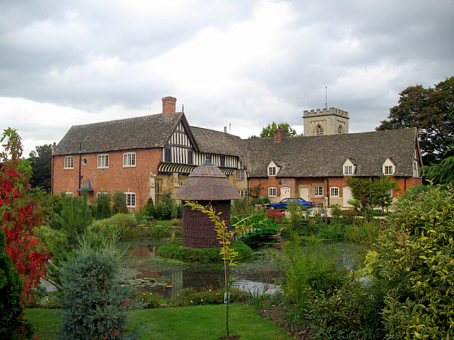
Brockworth Court

Brockworth Court is a Tudor house in the village of Brockworth, Gloucestershire, England. Dating from the 16th century, it is a Grade II* listed building...

Brockworth

Brockworth is a village and parish in the Borough of Tewkesbury, Gloucestershire, England, situated on the old Roman road that connects the City of Gloucester...

Gloucester Business Park

Gloucester Business Park is a business park situated in Brockworth on the outskirts of Gloucester, England with close links to the M5 and A417. Current...

Gloucestershire

Gloucestershire ( GLOST-ər-shər, -⁠sheer; abbreviated Glos.) is a ceremonial county in South West England. It is bordered by Herefordshire to the north...

Cooper's Hill Cheese-Rolling and Wake

The Cooper's Hill Cheese-Rolling and Wake is an annual event held on the Spring Bank Holiday at Cooper's Hill, near Gloucester in England. Participants...
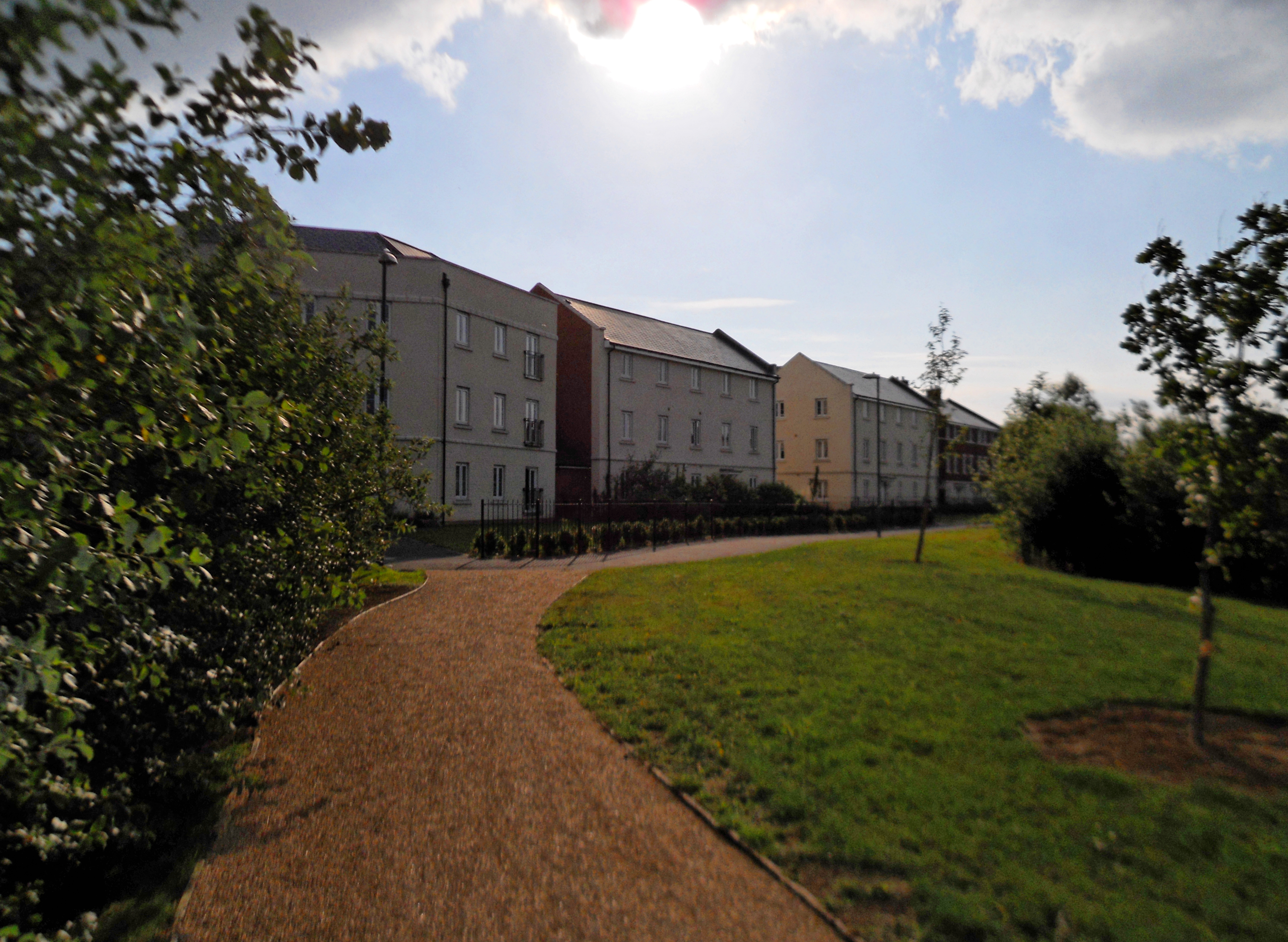
Coopers Edge

Coopers Edge is a newly built suburb, located in Brockworth, between the city of Gloucester and the town of Cheltenham. Construction began in 2007 at the...

Hucclecote

Hucclecote is a suburb in Gloucestershire, United Kingdom, comprising a ward (population 8,826) in the City of Gloucester. It is located on the periphery...

Nearby Amenities

Located within 500m of 51.844027,-2.158541
Brockworth
Place: suburb
Postal Code: GL3
Wikidata: Q548268
Wikipedia: en:Brockworth
Lat/Long: 51.8474636/-2.1551249
Mini Roundabout
Lat/Long: 51.8451089/-2.1570638
Barrier: bollard
Bicycle: yes
Foot: yes
Horse: yes
Motor Vehicle: no
Lat/Long: 51.8400749/-2.1610375
Abbotswood
Is In: Gloucestershire, England, UK
Place: hamlet
Lat/Long: 51.8440839/-2.1575442
Telephone
Booth: K6
Covered: booth
Operator: BT
Phone: +44 1452 863305
Lat/Long: 51.8454504/-2.1521689
Pharmacy
Lloyds Pharmacy
Addr City: Gloucester
Addr Housenumber: 1-2
Addr Postcode: GL3 4NY
Addr Street: Abbotswood Centre
Addr Village: Brockworth
Branch: Chemist
Brand: Lloyds Pharmacy
Brand Wikidata: Q6662870
Fhrs Id: 121276
Healthcare: pharmacy
Opening Hours: Mo-Fr 09:00-18:00; Sa 09:00-12:00
Operator: Lloyds
Source Addr: FHRS Open Data
Lat/Long: 51.8441117/-2.156675
The Co-operative Food
Brand: The Co-operative Food
Brand Wikidata: Q107617274
Brand Wikipedia: en:Co-op Food
Opening Hours: Mo-Sa 07:00-22:00; Su 08:00-22:00
Operator: Midcounties Co-operative
Operator Wikidata: Q6841138
Shop: convenience
Source: local_knowledge
Lat/Long: 51.8441921/-2.156924
Booth: K6
Ele: 50.5947266
Removed Amenity: telephone
Lat/Long: 51.8433016/-2.1597491
Description: Parish Noticeboard
Ele: 51.0753174
Lat/Long: 51.8412388/-2.1599293
Bus Stop
Vicarage Lane
Bench: no
Bin: no
Bus: yes
Lit: yes
Naptan AtcoCode: 1600GL1863
Naptan Bearing: SE
Naptan CommonName: St Patrick's Church
Naptan Indicator: Opp
Naptan NaptanCode: glodmdtg
Naptan PlusbusZoneRef: GLOSTER
Naptan Street: Ermin Street
Naptan Verified: no
Public Transport: platform
Shelter: yes
Source: naptan_import
Tactile Paving: no
Lat/Long: 51.8457711/-2.1586919
Bus Stop
Vicarage Lane
Bench: no
Bin: yes
Bus: yes
Lit: yes
Naptan AtcoCode: 1600GL1864
Naptan Bearing: NW
Naptan CommonName: St Patrick's Church
Naptan NaptanCode: glodmdta
Naptan PlusbusZoneRef: GLOSTER
Naptan Street: Ermin Street
Naptan Verified: no
Public Transport: platform
Shelter: yes
Source: naptan_import
Tactile Paving: no
Lat/Long: 51.8455972/-2.1586309
Bus Stop
Brockworth Library
Bench: no
Bin: no
Lit: no
Naptan AtcoCode: 1600GL781
Naptan Bearing: SE
Naptan CommonName: Brockworth Library
Naptan NaptanCode: glodmgaw
Naptan PlusbusZoneRef: GLOSTER
Naptan Street: Moorfield Rd
Naptan Verified: no
Shelter: no
Source: naptan_import
Tactile Paving: no
Lat/Long: 51.8477975/-2.1577029
Bus Stop
Abbotswood Estate
Bench: no
Bin: no
Bus: yes
Naptan AtcoCode: 1600GLB037
Naptan Bearing: SE
Naptan CommonName: Abbotswood Access Footpath
Naptan Indicator: Opp
Naptan NaptanCode: glodmjaj
Naptan PlusbusZoneRef: GLOSTER
Naptan Street: Ermin Street
Naptan Verified: no
Public Transport: platform
Shelter: no
Source: naptan_import
Tactile Paving: no
Lat/Long: 51.8439643/-2.1533801
Bus Stop
Abbotswood Estate
Bench: no
Bin: yes
Bus: yes
Naptan AtcoCode: 1600GLB038
Naptan Bearing: NW
Naptan CommonName: Abbotswood Access Footpath
Naptan NaptanCode: glodmjap
Naptan PlusbusZoneRef: GLOSTER
Naptan Street: Ermin Street
Naptan Verified: no
Public Transport: platform
Shelter: no
Source: naptan_import
Tactile Paving: no
Lat/Long: 51.8440298/-2.1539065
Post Office
Brockworth Post Office
Addr City: Gloucester
Addr Country: GB
Addr Housenumber: 6
Addr Postcode: GL3 4EP
Addr Street: Court Road
Addr Village: Brockworth
Brand: Post Office
Brand Wikidata: Q1783168
Opening Hours: Mo-Fr 06:30-21:00; Sa,Su 07:00-21:00
Ref Pol Id: 3943
Website: https://www.postoffice.co.uk/branch-finder/1635239/brockworth
Lat/Long: 51.8469543/-2.1587939
Turning Circle
Lat/Long: 51.8454486/-2.1597764
Post Box
Collection Times: Mo-Fr 17:30; Sa 12:30
Post Box Type: pillar
Ref: GL3 90
Royal Cypher: EIIR
Royal Cypher Wikidata: Q33102113
Source: Survey
Lat/Long: 51.8474914/-2.1585434
Post Box
Collection Times: Mo-Fr 17:30; Sa 12:00
Post Box Apertures: 1
Post Box Type: pillar
Ref: GL3 106
Royal Cypher: GR
Royal Cypher Wikidata: Q33102273
Source: GPS tagged photo.
Lat/Long: 51.8446516/-2.1588697
Playground: springy
Lat/Long: 51.8436456/-2.1584323
Playground: springy
Lat/Long: 51.8436878/-2.1584362
Playground: springy
Lat/Long: 51.8437311/-2.1584342
Playground: roundabout
Lat/Long: 51.843623/-2.1583285
Access: yes
Leisure: playground
Playground: basketswing
Sitting Disability: yes
Lat/Long: 51.8435665/-2.1576916
Playground: slide
Lat/Long: 51.8436527/-2.1585423
Addr Housenumber: 61
Lat/Long: 51.841796/-2.1576129
Crossing
Lat/Long: 51.8416842/-2.1644651
Restaurant
Hing Tai
Addr City: Gloucester
Addr Housenumber: 14
Addr Postcode: GL3 4EP
Addr Street: Court Road
Addr Suburb: Brockworth
Cuisine: chinese
Fhrs Id: 952118
Opening Hours: Mo,We-Sa 16:30-22:00; Su 17:30-22:00
Source Addr: FHRS Open Data
Lat/Long: 51.8470761/-2.1587694
Crossing
Button Operated: yes
Crossing: traffic_signals
Crossing Island: no
Tactile Paving: yes
Traffic Signals Sound: yes
Traffic Signals Vibration: yes
Lat/Long: 51.8458786/-2.1592443
Crossing
Crossing: unmarked
Crossing Island: yes
Crossing Markings: no
Tactile Paving: yes
Lat/Long: 51.8451619/-2.1571813
Crossing
Lat/Long: 51.8418988/-2.1618647
Telephone
Booth: K6
Check Date: 2024-03-09
Covered: booth
Operator: BT
Phone: +44 1452 863902
Lat/Long: 51.847058/-2.159118
Atm
Lat/Long: 51.8441606/-2.1567245
Gloucester Raw Zone
Addr City: Gloucester
Addr Postcode: GL3 4EL
Addr Street: Court Road
Opening Hours: Mo off; Tu-Fr 10:00-16:30; Sa 09:00-14:00; Su off
Phone: +44 7737 061797
Shop: pet_grooming
Lat/Long: 51.8466855/-2.1594981
Rogues and Scholars
Addr City: Gloucester
Addr Postcode: GL3 4EL
Addr Street: Court Road
Opening Hours: Mo 08:30-14:00; Tu 08:30-18:00; We off; Th 08:30-19:00; Fr 08:30-17:30; Sa 07:30-12:00; Su off
Phone: +44 1452 862225
Shop: hairdresser
Lat/Long: 51.846741/-2.1594176
Cafe
Jane's Pantry
Addr City: Gloucester
Addr Postcode: GL3 4EL
Addr Street: Court Road
Opening Hours: Mo-Fr 08:30-13:30,14:00-15:30; Sa 08:30-14:00
Lat/Long: 51.8467829/-2.1593928
Priory Cleaners
Addr City: Gloucester
Addr Postcode: GL3 4EL
Addr Street: Court Road
Opening Hours: Mo-Fr 08:30-17:30; Sa 09:00-14:00; Su off
Shop: dry_cleaning
Lat/Long: 51.8468359/-2.1593834
Cafe
Cafe Royal
Addr City: Gloucester
Addr Postcode: GL3 4EL
Addr Street: Court Road
Lat/Long: 51.8468914/-2.1593539
Fast Food
The Brockworth Fryer
Cuisine: fish_and_chips
Opening Hours: Mo 16:30-21:00; Tu-Sa 12:00-14:00,16:30-21:00; Su off
Lat/Long: 51.8468917/-2.158911
Morrisons Daily
Addr City: Gloucester
Addr Housenumber: 6
Addr Postcode: GL3 4EP
Addr Street: Court Road
Brand: Morrisons Daily
Brand Wikidata: Q99752411
Shop: convenience
Website: https://my.morrisons.com/storefinder/65956/morrisons-daily-brockworth-6-court-road
Lat/Long: 51.8469863/-2.1588383
Bicycle Parking
Bicycle Parking: stands
Capacity: 2
Covered: no
Lat/Long: 51.8475741/-2.1584567
Brockworth Parish Council
Addr City: Gloucester
Addr Housename: Brockworth Community Centre
Addr Postcode: GL3 4ET
Addr Street: Court Road
Addr Suburb: Brockworth
Contact Website: https://brockworth-pc.gov.uk/
Government: administrative
Office: government
Opening Hours: Mo-Fr 09:00-17:00
Lat/Long: 51.8476122/-2.1582133
Clock
Indoor: no
Lat/Long: 51.8477886/-2.1581338
Entrance: yes
Lat/Long: 51.8478359/-2.1574732
Barrier: bollard
Bollard: fixed
Lat/Long: 51.847609/-2.1582911
Barrier: bollard
Bollard: fixed
Lat/Long: 51.8476215/-2.1582901
Barrier: bollard
Bollard: fixed
Lat/Long: 51.8476336/-2.1582923
Barrier: bollard
Bollard: fixed
Lat/Long: 51.8476453/-2.1582968
Barrier: bollard
Bollard: fixed
Lat/Long: 51.8476561/-2.1582983
Barrier: bollard
Bollard: fixed
Lat/Long: 51.8476678/-2.1582972
Barrier: bollard
Bollard: fixed
Lat/Long: 51.8476785/-2.1582915
Barrier: bollard
Bollard: fixed
Lat/Long: 51.8476891/-2.1582842
Barrier: bollard
Bollard: fixed
Lat/Long: 51.8476979/-2.1582752
Barrier: bollard
Bollard: fixed
Lat/Long: 51.8477064/-2.1582618
Barrier: bollard
Bollard: fixed
Lat/Long: 51.8477122/-2.1582475
Barrier: bollard
Bollard: fixed
Lat/Long: 51.8477169/-2.1582303
Barrier: bollard
Bollard: fixed
Lat/Long: 51.847721/-2.1582125
Addr City: Gloucester
Addr Housenumber: 16
Addr Postcode: GL3 4EP
Addr Street: Court Road
Entrance: home
Lat/Long: 51.8471107/-2.1587934
Addr City: Gloucester
Addr Housenumber: 18
Addr Postcode: GL3 4EP
Addr Street: Court Road
Entrance: home
Lat/Long: 51.8471288/-2.1587795
Addr City: Gloucester
Addr Housenumber: 24
Addr Postcode: GL3 4EP
Addr Street: Court Road
Entrance: home
Lat/Long: 51.8472318/-2.1587004
Sue Ryder
Addr City: Gloucester
Addr Housenumber: 38
Addr Postcode: GL3 4EP
Addr Street: Court Road
Brand: Sue Ryder
Brand Wikidata: Q7634271
Contact Phone: +44 1452 863641
Contact Website: https://www.sueryder.org/support-us/shop-with-us/our-shops/brockworth
Opening Hours: Mo-Sa 09:30-16:30; Su 10:00-16:00
Shop: charity
Lat/Long: 51.8474449/-2.1584861
Atm
Fee: no
Operator: Bank Machine
Lat/Long: 51.8473865/-2.1585816
Addr City: Gloucester
Addr Housenumber: 26
Addr Postcode: GL3 4EP
Addr Street: Court Road
Entrance: home
Lat/Long: 51.84725/-2.1586864
The Co-operative Food
Addr City: Gloucester
Addr Housenumber: 28
Addr Postcode: GL3 4EP
Addr Street: Court Road
Brand: The Co-operative Food
Brand Wikidata: Q107617274
Contact Phone: +44 1452 863727
Contact Website: https://www.coop.co.uk/store-finder/GL3-4EP/28-court-road
Opening Hours: Mo-Su 07:00-22:00
Operator: Midcounties Co-operative
Operator Wikidata: Q6841138
Shop: convenience
Lat/Long: 51.8473218/-2.1585806
Pied Piper Appeal
Shop: charity
Lat/Long: 51.8471711/-2.1586964
Coral
Addr City: Gloucester
Addr Housenumber: 1-2
Addr Parentstreet: Court Road
Addr Postcode: GL3 4EW
Addr Substreet: The Parade
Brand: Coral
Brand Wikidata: Q54621344
Opening Hours: Mo-Fr 09:30-19:00; Sa 09:00-19:00; Su 10:00-18:30
Shop: bookmaker
Lat/Long: 51.8467779/-2.1589771
Crossing
Crossing: unmarked
Crossing Island: yes
Crossing Markings: no
Tactile Paving: yes
Lat/Long: 51.8450359/-2.157129
Barrier: cycle_barrier
Cycle Barrier: double
Cycle Barrier Installation: fixed
Lat/Long: 51.846083/-2.159576
Barrier: bollard
Bollard: fixed
Lat/Long: 51.8462426/-2.1594635
Barrier: cycle_barrier
Cycle Barrier: double
Cycle Barrier Installation: fixed
Lat/Long: 51.8472845/-2.1564026
Traffic Calming: hump
Lat/Long: 51.8461282/-2.1562338
Crossing
Crossing: unmarked
Crossing Island: yes
Crossing Markings: no
Lat/Long: 51.8480432/-2.1585166
Crossing
Crossing: unmarked
Crossing Island: yes
Crossing Markings: no
Lat/Long: 51.8481153/-2.1583085
Crossing
Crossing: unmarked
Crossing Island: yes
Crossing Markings: no
Lat/Long: 51.8479225/-2.1581091
Barrier: cycle_barrier
Foot: yes
Lat/Long: 51.8454971/-2.1584228
Crossing
Crossing: unmarked
Crossing Island: yes
Crossing Markings: no
Tactile Paving: yes
Lat/Long: 51.8441452/-2.1540835
Traffic Calming: choker
Lat/Long: 51.8406677/-2.1633461
Traffic Calming: choker
Lat/Long: 51.8414069/-2.1643477
Waste Basket
Colour: green
Material: metal
Waste: trash;dog_excrement
Lat/Long: 51.8473643/-2.1551862
Bench
Backrest: yes
Colour: black
Material: metal
Seats: 2
Lat/Long: 51.8473912/-2.1570077
Bench
Backrest: yes
Colour: black
Material: metal
Seats: 2
Lat/Long: 51.8473863/-2.156886
Brockworth And Witcombe Memorial
Historic: memorial
Material: stone
Memorial: obelisk
Url: https://www.iwm.org.uk/memorials/item/memorial/20783
Wikidata: Q87488816
Lat/Long: 51.8473576/-2.1569584
The data included in this document is from www.openstreetmap.org. The data is made available under ODbL.

Have you been to Brockworth?

Leave your review of Brockworth below (or comments, questions and feedback).