Brockworth
Settlement in Gloucestershire Tewkesbury
England
Brockworth
Brockworth is a small village located in the county of Gloucestershire, England. Situated approximately six miles east of the city of Gloucester, it lies on the edge of the Cotswolds area of Outstanding Natural Beauty. The village is nestled amidst picturesque rolling hills and is surrounded by lush green countryside, offering residents and visitors a tranquil and scenic environment.
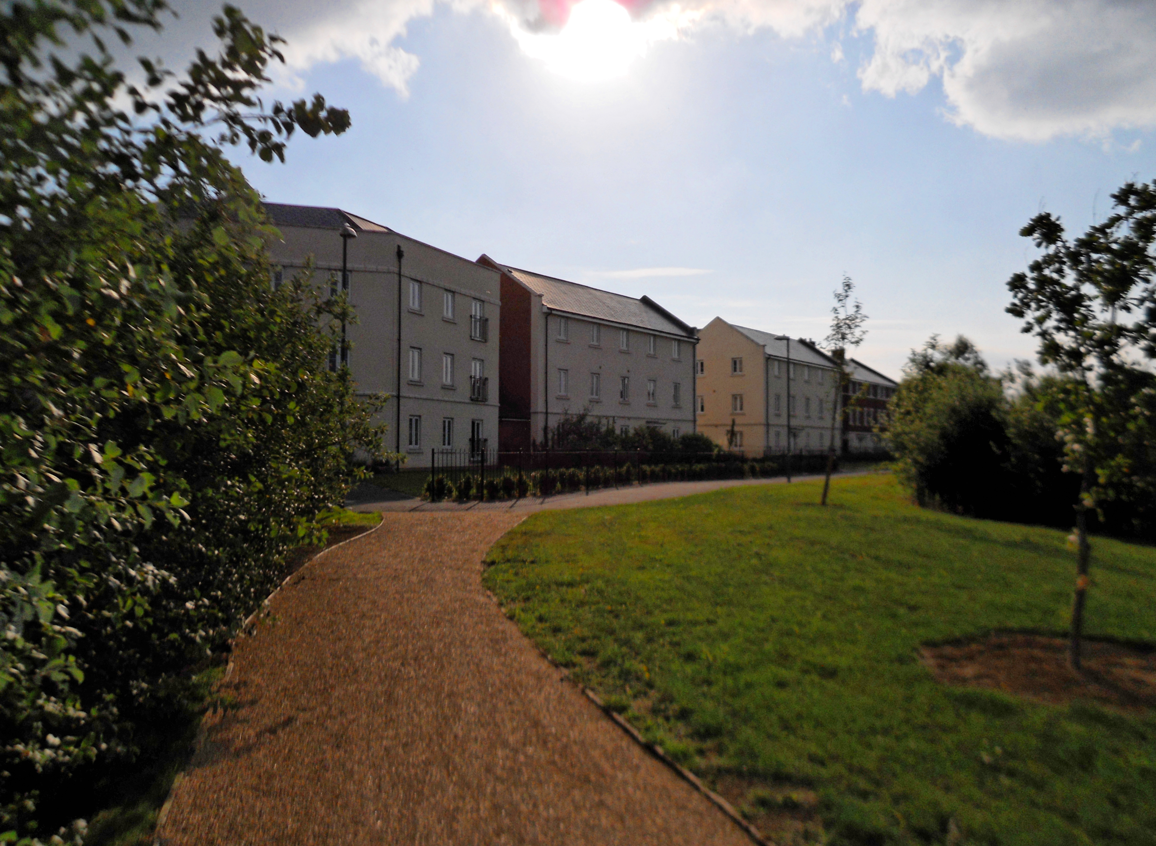
Brockworth has a rich history dating back to Roman times, with evidence of Roman settlements and artifacts discovered in the area. The village itself grew during the medieval period and was primarily an agricultural community. Today, it retains a charming and traditional character, with a mix of old stone cottages and more modern housing.
Despite its small size, Brockworth is known for its vibrant community spirit and hosts several annual events that bring residents together, such as the Brockworth Village Fair. The village also boasts a range of amenities, including a primary school, a village hall, a post office, and a number of local shops and pubs.
One of Brockworth's notable landmarks is the annual Cooper's Hill Cheese Rolling and Wake, a unique event that attracts participants and spectators from around the world. Held on the late Spring Bank Holiday, the event involves rolling a wheel of cheese down a steep hill, with participants racing after it. The event has gained international recognition and is a highlight of the village's cultural calendar.
Overall, Brockworth offers a peaceful and picturesque setting, with a strong sense of community and a rich heritage that is celebrated through its various traditions and events.
If you have any feedback on the listing, please let us know in the comments section below.
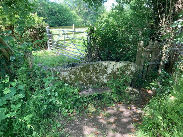
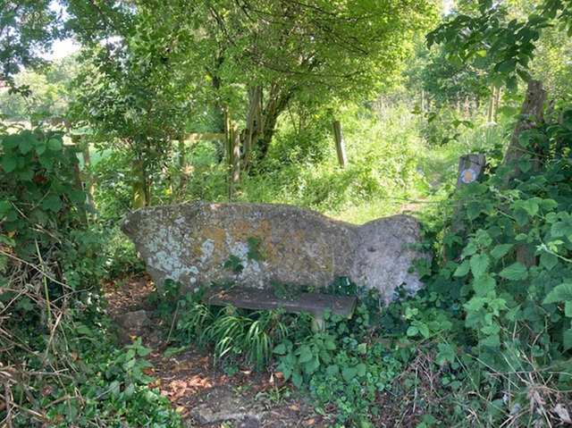
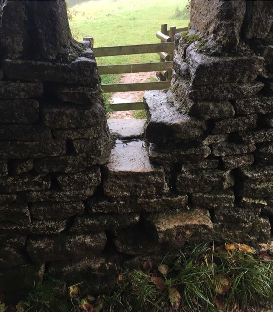
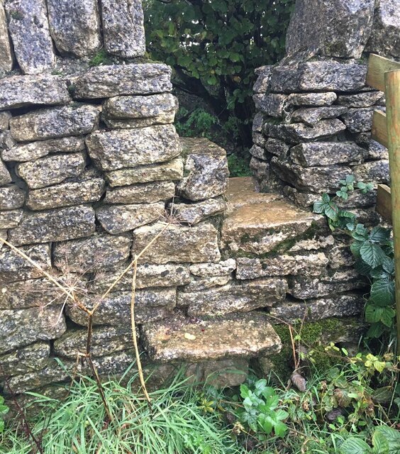
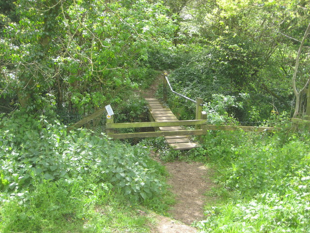
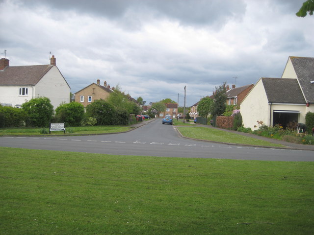
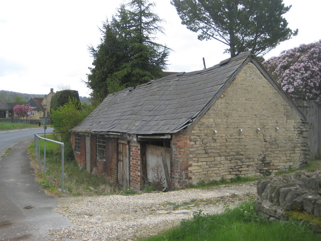
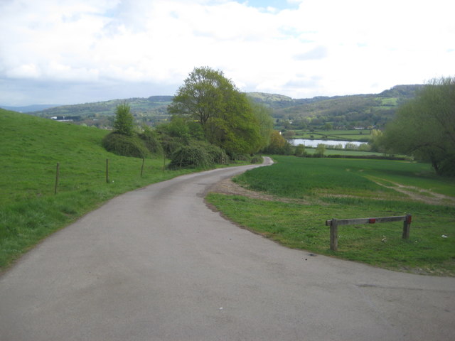
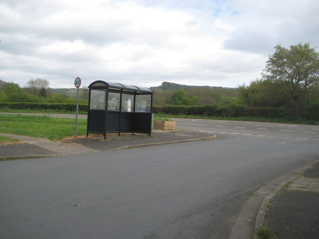
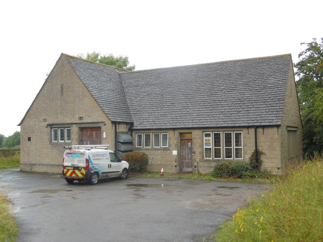
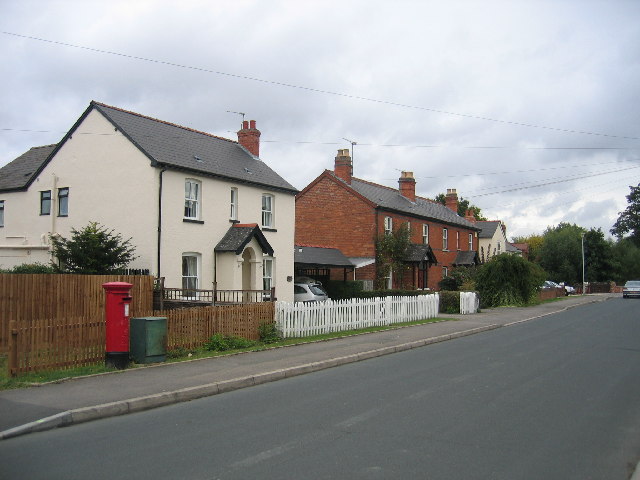
Brockworth Images
Images are sourced within 2km of 51.847857/-2.158438 or Grid Reference SO8916. Thanks to Geograph Open Source API. All images are credited.


Brockworth is located at Grid Ref: SO8916 (Lat: 51.847857, Lng: -2.158438)
Administrative County: Gloucestershire
District: Tewkesbury
Police Authority: Gloucestershire
What 3 Words
///flood.field.chiefs. Near Shurdington, Gloucestershire
Nearby Locations
Related Wikis
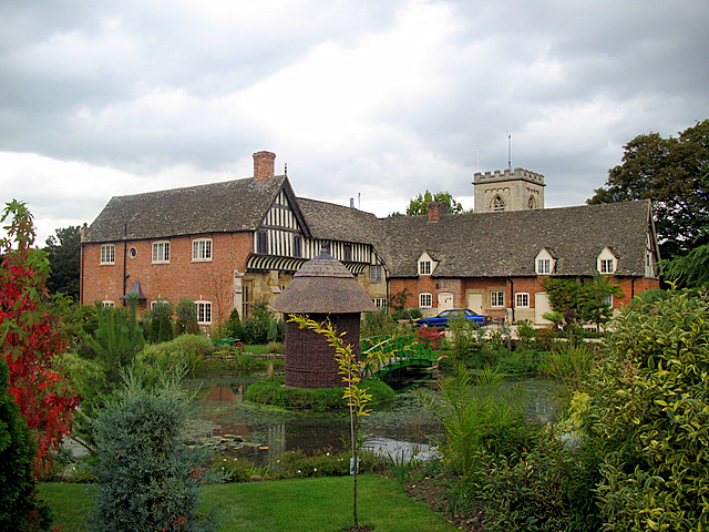
Brockworth Court
Brockworth Court is a Tudor house in the village of Brockworth, Gloucestershire, England. Dating from the 16th century, it is a Grade II* listed building...

Brockworth
Brockworth is a village and parish in the Borough of Tewkesbury, Gloucestershire, England, situated on the old Roman road that connects the City of Gloucester...
Henley Bank High School
Henley Bank High School is an 11 to 18 academy in Gloucester, England. It is sponsored by the Greenshaw Learning Trust. In January 2018, the school was...

Gloucester Business Park
Gloucester Business Park is a business park situated in Brockworth on the outskirts of Gloucester, England with close links to the M5 and A417. Current...
Hucclecote
Hucclecote is a suburb in Gloucestershire, United Kingdom, comprising a ward (population 8,826) in the City of Gloucester. It is located on the periphery...
Coopers Edge
Coopers Edge is a newly built suburb, located in Brockworth, between the city of Gloucester and the town of Cheltenham. Construction began in 2007 at the...

Gloucestershire
Gloucestershire ( GLOST-ər-shər, -sheer; abbreviated Glos.) is a ceremonial county in South West England. It is bordered by Herefordshire to the north...

Hucclecote Meadows
Hucclecote Meadows (grid reference SO872163) is a 5.74-hectare (14.2-acre) biological Site of Special Scientific Interest divided into two areas on each...
Nearby Amenities
Located within 500m of 51.847857,-2.158438Have you been to Brockworth?
Leave your review of Brockworth below (or comments, questions and feedback).