Brockwell

Settlement in Somerset Somerset West and Taunton

England

Brockwell

Church Gate Cottage, Luccombe
Church Gate Cottage, Luccombe Credit: Roger Cornfoot

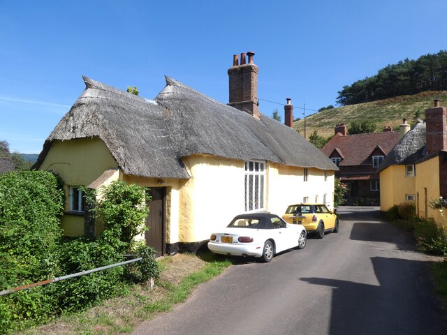
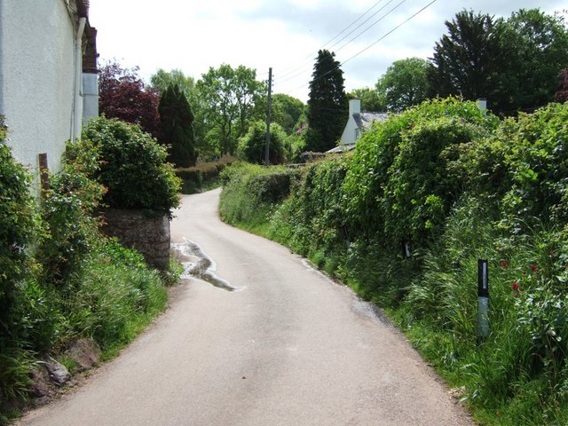
Brockwell is a small village located in the county of Somerset, in the southwest of England. Situated approximately 3 miles south of the town of Yeovil, Brockwell is nestled amidst the picturesque countryside of the region, offering residents and visitors a tranquil and idyllic setting.

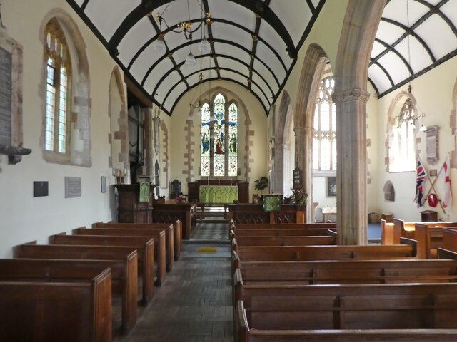
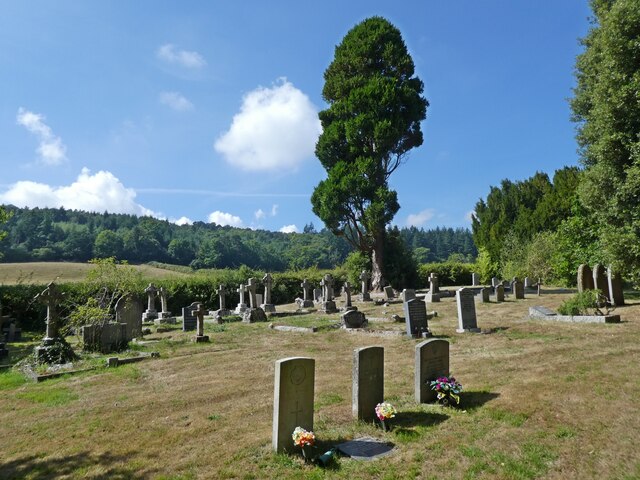
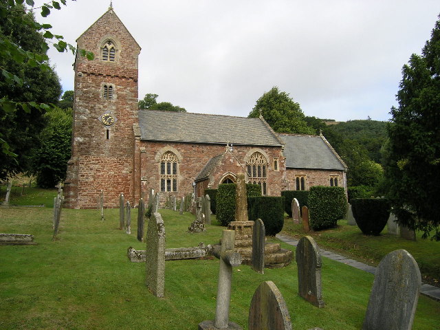
The village is home to a close-knit community, with a population of around 500 people. It boasts a rich history, with evidence of human habitation in the area dating back to the Bronze Age. Many historical landmarks can be found in and around Brockwell, including the 13th-century St. Mary's Church, which stands as a testament to the village's heritage.

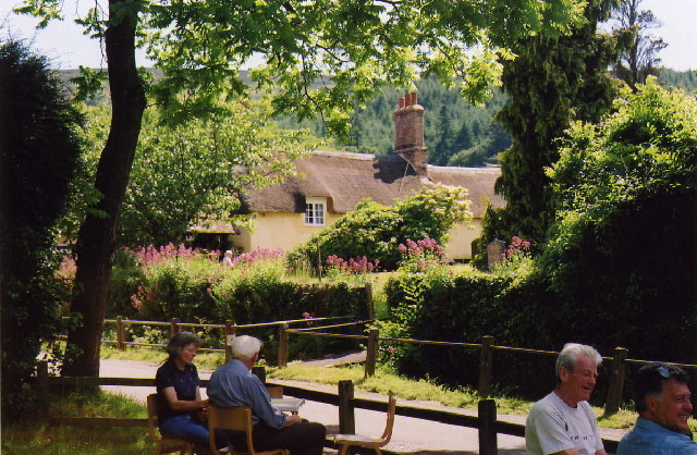
Brockwell offers a range of amenities to its residents, including a primary school, a village hall, and a local pub, which serves as a popular meeting place for locals and visitors alike. The village is also well-connected, with regular bus services providing convenient access to nearby towns and cities.

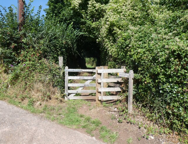
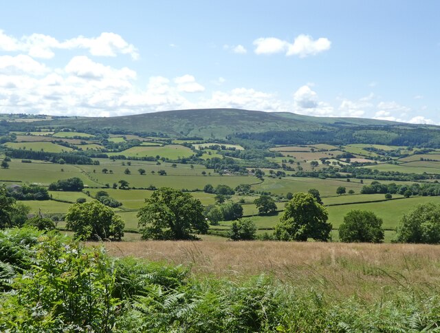
Surrounded by stunning natural beauty, Brockwell is a haven for outdoor enthusiasts. The village is located close to the Mendip Hills, an Area of Outstanding Natural Beauty, offering opportunities for hiking, cycling, and exploring the scenic landscapes.

Overall, Brockwell is a charming village that combines a rich history, a strong sense of community, and a beautiful rural setting. It provides a peaceful and welcoming environment for those seeking a slower pace of life in the heart of the Somerset countryside.

If you have any feedback on the listing, please let us know in the comments section below.
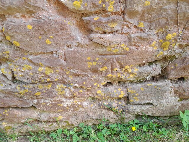
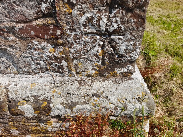
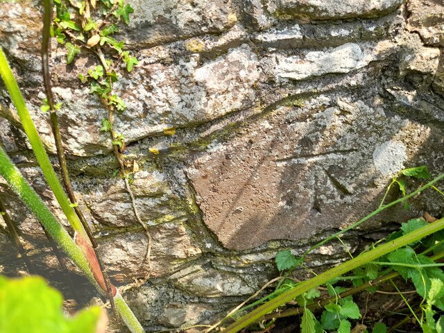
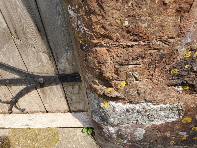
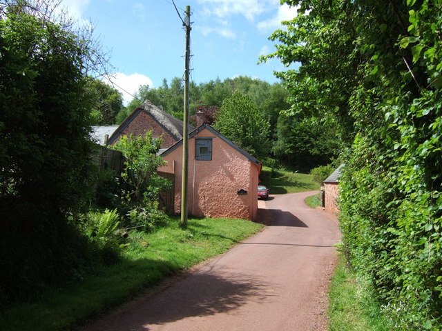
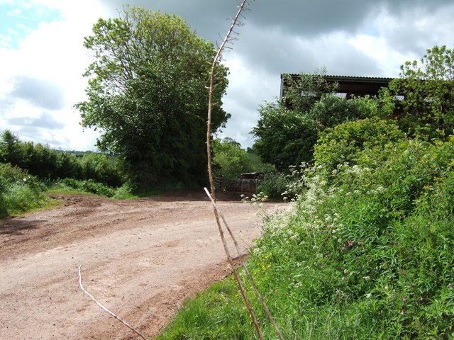
Brockwell Images

Images are sourced within 2km of 51.176004/-3.5463558 or Grid Reference SS9243. Thanks to Geograph Open Source API. All images are credited.

Church Gate Cottage, Luccombe
Path to the cemetery, Luccombe
Interior, Church of the Blessed Virgin Mary, Luccombe
Cemetery, Luccombe
Cemetery, Luccombe
Ordnance Survey Cut Mark This OS cut mark can be found on the wall of the rectory. It marks a point 84.139m above mean sea level.
Ordnance Survey Cut Mark
This OS cut mark can be found on the wall of the rectory. It marks a point 84.139m above mean sea level.
Ordnance Survey 1GL Bolt This OS Bolt can be found on the SW angle of St Mary's Church. It marks a point 90.823m above mean sea level.
Ordnance Survey 1GL Bolt
This OS Bolt can be found on the SW angle of St Mary's Church. It marks a point 90.823m above mean sea level.
Ordnance Survey Cut Mark This OS cut mark can be found on the wall of the old rectory. It marks a point 117.433m above mean sea level.
Ordnance Survey Cut Mark
This OS cut mark can be found on the wall of the old rectory. It marks a point 117.433m above mean sea level.
Ordnance Survey Cut Mark This OS cut mark can be found on the NW angle of All Saints Church. It marks a point 129.863m above mean sea level.
Ordnance Survey Cut Mark
This OS cut mark can be found on the NW angle of All Saints Church. It marks a point 129.863m above mean sea level.
View towards Robin How and Dunkery Hill
Luccombe
Luccombe
Luccombe: Cloutsham Ball from Webber's Post Cloutsham Ball, left, and Horner Wood, right, from the car park near Webber's Post. The land here is part of the National Trust portfolio
Luccombe: Cloutsham Ball from Webber's Post
Cloutsham Ball, left, and Horner Wood, right, from the car park near Webber's Post. The land here is part of the National Trust portfolio
Wootton Courtenay, Somerset The church of All Saints
Wootton Courtenay, Somerset
The church of All Saints
Stoney Street, Luccombe This is only my third photo, I hope it's a geograph, I'm only ten!!!
Stoney Street, Luccombe
This is only my third photo, I hope it's a geograph, I'm only ten!!!
Lane past Gillhams According to the map this building is called Gillhams. There is a sharp 90º bend in the lane here, with a track continuing on to the North. The lane in the photograph continues through Holt to Blackford (see <a href="https://www.geograph.org.uk/photo/177319">SS9245 : Blackford House</a> & <a href="https://www.geograph.org.uk/photo/177211">SS9245 : Blackford Dovecote</a>)
Lane past Gillhams
According to the map this building is called Gillhams. There is a sharp 90º bend in the lane here, with a track continuing on to the North. The lane in the photograph continues through Holt to Blackford (see SS9245 : Blackford House & SS9245 : Blackford Dovecote)
Huntscott The hamlet of Huntscott between the villages of Luccombe and Wootton Courtenay.
Exmoor has many of these picturesque hamlets and villages, far more so than its more rugged counterparts of Dartmoor and Bodmin Moor.
Huntscott
The hamlet of Huntscott between the villages of Luccombe and Wootton Courtenay. Exmoor has many of these picturesque hamlets and villages, far more so than its more rugged counterparts of Dartmoor and Bodmin Moor.
Brockwell Farm There is a small cluster of farm buildings at Brockwell on the lane from Wootton Courtenay to Ford. The rich pink colour looks surprisingly harmonious against the verdant greenery.
Brockwell Farm
There is a small cluster of farm buildings at Brockwell on the lane from Wootton Courtenay to Ford. The rich pink colour looks surprisingly harmonious against the verdant greenery.
Cottage at Ford Coming across cottages such as this is one of the great bonuses of Geographing. Almost at the end of a dead-end lane, probably very few people ever see this beautiful example of an Exmoor cottage.
Cottage at Ford
Coming across cottages such as this is one of the great bonuses of Geographing. Almost at the end of a dead-end lane, probably very few people ever see this beautiful example of an Exmoor cottage.
Stile Down There is a large barn here and a considerable quantity of large farm machinery is parked on the verges. At this 90º bend in the lane a track (Elscombe Lane) continues on straight ahead.
Stile Down
There is a large barn here and a considerable quantity of large farm machinery is parked on the verges. At this 90º bend in the lane a track (Elscombe Lane) continues on straight ahead.
Show me another place!

Brockwell is located at Grid Ref: SS9243 (Lat: 51.176004, Lng: -3.5463558)

Administrative County: Somerset

District: Somerset West and Taunton

Police Authority: Avon and Somerset

What 3 Words

///digestion.elder.shifting. Near Porlock, Somerset

Nearby Locations

Huntscott Brockwell

Related Wikis

Luccombe, Somerset

Luccombe or Luckham is a village and civil parish in the Exmoor National Park in the English county of Somerset. It at the foot of the moor's highest hill...

Wootton Courtenay

Wootton Courtenay is a village and civil parish on Exmoor in the Somerset West and Taunton district of Somerset, England. The parish includes the hamlets...

Dovecot at Blackford Farm

The Dovecot At Blackford Farm in Selworthy on Exmoor within the English county of Somerset was probably built in the 11th century. It is a Grade II* listed...

Chapel of St Leonard, Tivington

The Anglican Chapel of St Leonard in Tivington, Somerset, England was built in the mid 14th century as a chapel of ease. It is a Grade II* listed building...

Sweetworthy

Sweetworthy is the site of two Iron Age hill forts or enclosures at Luccombe, 4 kilometres (2 mi) south of Porlock, Somerset, England. They are on the...

Dunkery Hill

Dunkery Beacon at the summit of Dunkery Hill is the highest point on Exmoor and in Somerset, England. It is also the highest point in southern England...

Holnicote Estate

Holnicote (pronounced "Hunnicutt") in the parish of Selworthy, West Somerset, England, is a historic estate consisting of 12,420 acres (5,026 hectares...

Dunster Park and Heathlands

Dunster Park and Heathlands (grid reference SS955441) is a 466.6 hectare biological Site of Special Scientific Interest in Somerset, notified in 2000....

Have you been to Brockwell?

Leave your review of Brockwell below (or comments, questions and feedback).