Huntscott

Settlement in Somerset Somerset West and Taunton

England

Huntscott

Church Gate Cottage, Luccombe
Church Gate Cottage, Luccombe Credit: Roger Cornfoot

Huntscott is a small rural village located in the county of Somerset, England. Situated in the picturesque countryside, it is surrounded by rolling hills and farmland, offering residents and visitors alike a tranquil and idyllic setting.

The village has a rich history dating back centuries, with evidence of human settlement in the area from prehistoric times. It is believed that the name "Huntscott" derives from the Old English words "hunta" and "sceat," meaning "huntsman's shelter," indicating the village's historical connection to hunting.

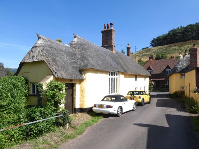
Today, Huntscott is a close-knit community with a population of approximately 300 residents. The village is characterized by its charming traditional cottages, many of which date back to the 17th and 18th centuries, giving it a distinct historical charm.

Although small in size, Huntscott boasts a range of amenities to cater to its residents' needs. These include a village hall, a primary school, and a local pub, which serves as a hub for social gatherings and community events.

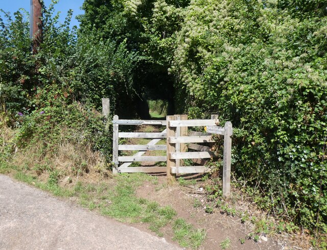
The village is also well-positioned for outdoor enthusiasts, with numerous walking and cycling routes in the surrounding countryside. Its proximity to the Quantock Hills, an Area of Outstanding Natural Beauty, further enhances the area's appeal for those seeking outdoor activities and scenic views.

In summary, Huntscott is a picturesque rural village in Somerset, offering a peaceful and historic setting for residents and visitors to enjoy the beauty of the English countryside.

If you have any feedback on the listing, please let us know in the comments section below.
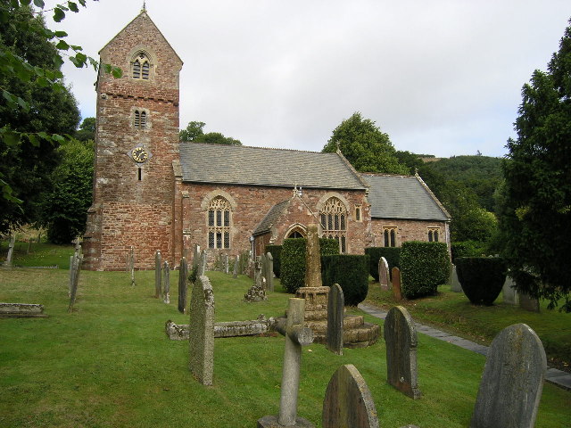
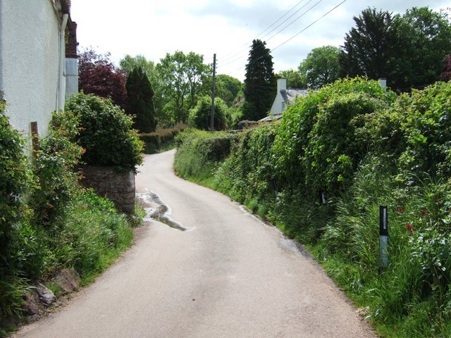
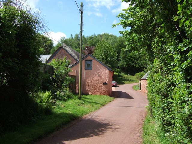
Huntscott Images

Images are sourced within 2km of 51.18466/-3.533818 or Grid Reference SS9243. Thanks to Geograph Open Source API. All images are credited.
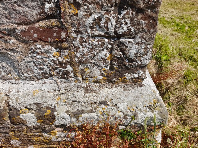
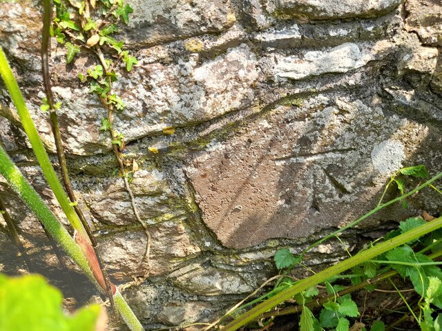
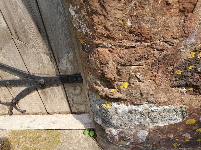
Church Gate Cottage, Luccombe
Path to the cemetery, Luccombe
Interior, Church of the Blessed Virgin Mary, Luccombe
Cemetery, Luccombe
Cemetery, Luccombe
Ordnance Survey 1GL Bolt This OS Bolt can be found on the SW angle of St Mary's Church. It marks a point 90.823m above mean sea level.
Ordnance Survey 1GL Bolt
This OS Bolt can be found on the SW angle of St Mary's Church. It marks a point 90.823m above mean sea level.
Ordnance Survey Cut Mark This OS cut mark can be found on the wall of the old rectory. It marks a point 117.433m above mean sea level.
Ordnance Survey Cut Mark
This OS cut mark can be found on the wall of the old rectory. It marks a point 117.433m above mean sea level.
Ordnance Survey Cut Mark This OS cut mark can be found on the NW angle of All Saints Church. It marks a point 129.863m above mean sea level.
Ordnance Survey Cut Mark
This OS cut mark can be found on the NW angle of All Saints Church. It marks a point 129.863m above mean sea level.
Luccombe
Luccombe
Wootton Courtenay, Somerset The church of All Saints
Wootton Courtenay, Somerset
The church of All Saints
Stoney Street, Luccombe This is only my third photo, I hope it's a geograph, I'm only ten!!!
Stoney Street, Luccombe
This is only my third photo, I hope it's a geograph, I'm only ten!!!
Selworthy: Tivington Farm The farm stands near the head of the Vale of Porlock. Seen from the lane between Headon Cross and Tivington Cross, looking west-north-west. Porlock Bay is just visible in the muted January light, on the horizon; a field’s length beyond the farm is the A39 Minehead-Porlock road
Selworthy: Tivington Farm
The farm stands near the head of the Vale of Porlock. Seen from the lane between Headon Cross and Tivington Cross, looking west-north-west. Porlock Bay is just visible in the muted January light, on the horizon; a field’s length beyond the farm is the A39 Minehead-Porlock road
Trig Point above Wootton Courtenay. Coloured white to make it easy to spot amongst the trees, this trig point is at a height of 295m. Behind the photographer is a clear view towards the Bristol Channel.
Trig Point above Wootton Courtenay.
Coloured white to make it easy to spot amongst the trees, this trig point is at a height of 295m. Behind the photographer is a clear view towards the Bristol Channel.
Blackford Dovecote An ancient dovecote administered by the National Trust (the black sign informs us) at Blackford near Luccombe. The N.T. seem strangely coy about this tiny property as I can find no mention of it on their website and googling "Blackford Dovecote" comes up a blank ([Edit 2009] Googling it now comes up with this image in top spot !)
The Dovecote is EH Grade II* listed <span class="nowrap"><a title="http://list.historicengland.org.uk/resultsingle.aspx?uid=1345406&searchtype=mapsearch" rel="nofollow ugc noopener" href="http://list.historicengland.org.uk/resultsingle.aspx?uid=1345406&searchtype=mapsearch">Link</a><img style="margin-left:2px;" alt="External link" title="External link - shift click to open in new window" src="https://s1.geograph.org.uk/img/external.png" width="10" height="10"/></span>
It is also a Scheduled Ancient Monument - An unusually informative write-up here <span class="nowrap"><a title="http://list.historicengland.org.uk/resultsingle.aspx?uid=1020774&searchtype=mapsearch" rel="nofollow ugc noopener" href="http://list.historicengland.org.uk/resultsingle.aspx?uid=1020774&searchtype=mapsearch">Link</a><img style="margin-left:2px;" alt="External link" title="External link - shift click to open in new window" src="https://s1.geograph.org.uk/img/external.png" width="10" height="10"/></span>
Blackford Dovecote
An ancient dovecote administered by the National Trust (the black sign informs us) at Blackford near Luccombe. The N.T. seem strangely coy about this tiny property as I can find no mention of it on their website and googling "Blackford Dovecote" comes up a blank ([Edit 2009] Googling it now comes up with this image in top spot !) The Dovecote is EH Grade II* listed LinkExternal link It is also a Scheduled Ancient Monument - An unusually informative write-up here LinkExternal link
Stream pool at Beer Barn A stream gurgles out of the hedge here (see <a href="https://www.geograph.org.uk/photo/177323">SS9145 : Stream at Beer Barn near Luccombe</a>) and swells into this little pool before becoming streamlike once again to trickle in a northerly direction along the eastern (righthand) side of this field. According to the map there should have been a structure here called "Beer Barn", but I was unable to locate it, though it was very overgrown so may have been hidden. The white dot in the distance is Selworthy church, currently swathed in scaffolding and green netting.
Stream pool at Beer Barn
A stream gurgles out of the hedge here (see SS9145 : Stream at Beer Barn near Luccombe) and swells into this little pool before becoming streamlike once again to trickle in a northerly direction along the eastern (righthand) side of this field. According to the map there should have been a structure here called "Beer Barn", but I was unable to locate it, though it was very overgrown so may have been hidden. The white dot in the distance is Selworthy church, currently swathed in scaffolding and green netting.
Lane past Gillhams According to the map this building is called Gillhams. There is a sharp 90º bend in the lane here, with a track continuing on to the North. The lane in the photograph continues through Holt to Blackford (see <a href="https://www.geograph.org.uk/photo/177319">SS9245 : Blackford House</a> & <a href="https://www.geograph.org.uk/photo/177211">SS9245 : Blackford Dovecote</a>)
Lane past Gillhams
According to the map this building is called Gillhams. There is a sharp 90º bend in the lane here, with a track continuing on to the North. The lane in the photograph continues through Holt to Blackford (see SS9245 : Blackford House & SS9245 : Blackford Dovecote)
Huntscott The hamlet of Huntscott between the villages of Luccombe and Wootton Courtenay.
Exmoor has many of these picturesque hamlets and villages, far more so than its more rugged counterparts of Dartmoor and Bodmin Moor.
Huntscott
The hamlet of Huntscott between the villages of Luccombe and Wootton Courtenay. Exmoor has many of these picturesque hamlets and villages, far more so than its more rugged counterparts of Dartmoor and Bodmin Moor.
Brockwell Farm There is a small cluster of farm buildings at Brockwell on the lane from Wootton Courtenay to Ford. The rich pink colour looks surprisingly harmonious against the verdant greenery.
Brockwell Farm
There is a small cluster of farm buildings at Brockwell on the lane from Wootton Courtenay to Ford. The rich pink colour looks surprisingly harmonious against the verdant greenery.
Cottage at Ford Coming across cottages such as this is one of the great bonuses of Geographing. Almost at the end of a dead-end lane, probably very few people ever see this beautiful example of an Exmoor cottage.
Cottage at Ford
Coming across cottages such as this is one of the great bonuses of Geographing. Almost at the end of a dead-end lane, probably very few people ever see this beautiful example of an Exmoor cottage.
Show me another place!

Huntscott is located at Grid Ref: SS9243 (Lat: 51.18466, Lng: -3.533818)

Administrative County: Somerset

District: Somerset West and Taunton

Police Authority: Avon and Somerset

What 3 Words

///dockers.staked.inches. Near Minehead, Somerset

Nearby Locations

Brockwell Huntscott

Related Wikis

Chapel of St Leonard, Tivington

The Anglican Chapel of St Leonard in Tivington, Somerset, England was built in the mid 14th century as a chapel of ease. It is a Grade II* listed building...

Wootton Courtenay

Wootton Courtenay is a village and civil parish on Exmoor in the Somerset West and Taunton district of Somerset, England. The parish includes the hamlets...

Dovecot at Blackford Farm

The Dovecot At Blackford Farm in Selworthy on Exmoor within the English county of Somerset was probably built in the 11th century. It is a Grade II* listed...

Luccombe, Somerset

Luccombe or Luckham is a village and civil parish in the Exmoor National Park in the English county of Somerset. It at the foot of the moor's highest hill...

Dunster Park and Heathlands

Dunster Park and Heathlands (grid reference SS955441) is a 466.6 hectare biological Site of Special Scientific Interest in Somerset, notified in 2000....

Minehead Without

Minehead Without is a civil parish in the English county of Somerset, and within the Exmoor National Park. As its name suggests, the parish covers a rural...

Bratton Court

Bratton Court in the hamlet of Bratton within the parish of Minehead Without, Somerset, England was built as a manor house, with a 14th-century open hall...

Holnicote Estate

Holnicote (pronounced "Hunnicutt") in the parish of Selworthy, West Somerset, England, is a historic estate consisting of 12,420 acres (5,026 hectares...

Nearby Amenities

Located within 500m of 51.18466,-3.533818
Post Box
Collection Times: Mo-Fr 10:00; Sa 09:30
Operator: Royal Mail
Operator Wikidata: Q638098
Post Box Type: lamp
Ref: TA24 110
Royal Cypher: EIIR
Royal Cypher Wikidata: Q33102113
Lat/Long: 51.1838314/-3.5405076
Huntscott
Place: hamlet
Lat/Long: 51.1842199/-3.5406339
Power: pole
Lat/Long: 51.1882378/-3.5340303
Power: pole
Lat/Long: 51.1870257/-3.5334845
Power: pole
Lat/Long: 51.1855034/-3.5328287
Power: pole
Lat/Long: 51.1846711/-3.532472
Power: pole
Lat/Long: 51.1840264/-3.5321353
Power: pole
Lat/Long: 51.1831521/-3.5313535
Power: pole
Lat/Long: 51.1822509/-3.5305139
Power: pole
Lat/Long: 51.182778/-3.5309592
Power: pole
Lat/Long: 51.1842424/-3.5318564
Power: pole
Lat/Long: 51.1866247/-3.5328944
Power: pole
Lat/Long: 51.1882025/-3.5332096
Power: pole
Lat/Long: 51.1887791/-3.5333142
Power: pole
Lat/Long: 51.188943/-3.5343254
The data included in this document is from www.openstreetmap.org. The data is made available under ODbL.

Have you been to Huntscott?

Leave your review of Huntscott below (or comments, questions and feedback).