Brodsworth

Civil Parish in Yorkshire Doncaster

England

Brodsworth

Lound Lane
Lound Lane Credit: Chris Morgan

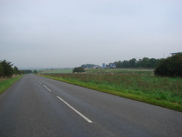
Brodsworth is a civil parish located in the metropolitan borough of Doncaster, South Yorkshire, England. It is situated around 5 miles north-west of the town of Doncaster and covers an area of approximately 5 square miles. The village lies in the heart of the beautiful Yorkshire countryside and is surrounded by farmland and open spaces.

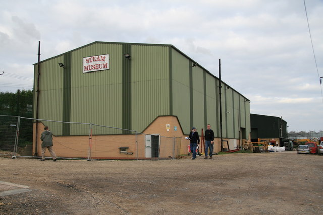
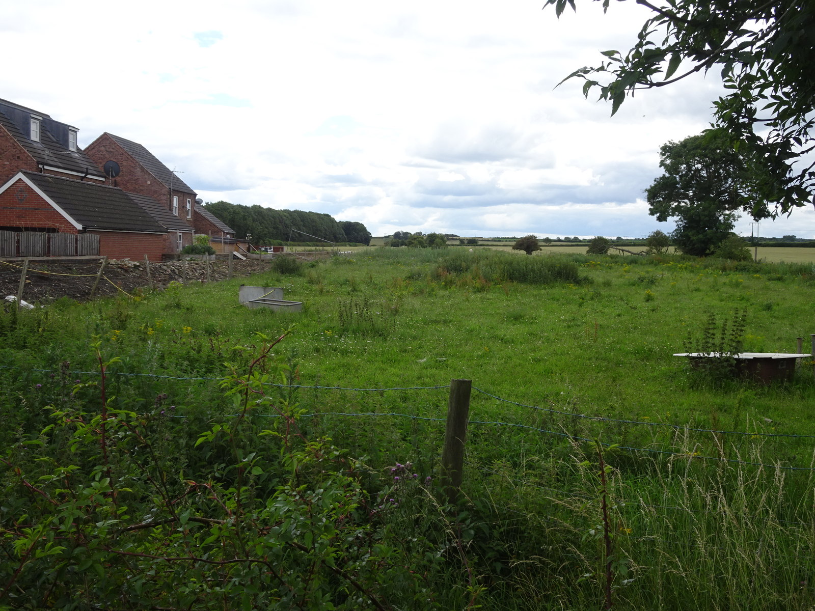
Brodsworth is a small and close-knit community, with a population of around 1,000 residents. The parish is predominantly rural, with a scattering of residential properties and a few small businesses. The village is known for its picturesque setting and traditional architecture, with many of the buildings dating back to the 18th and 19th centuries.

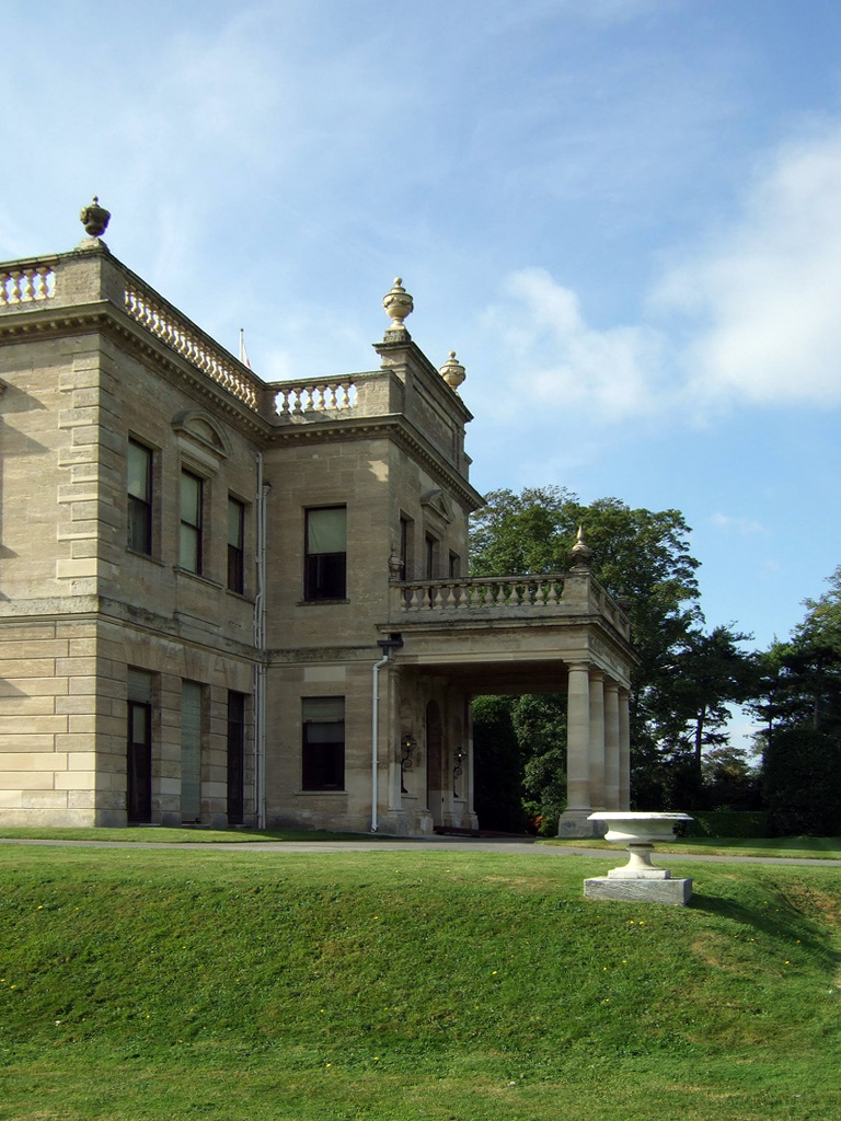
One of the notable landmarks in Brodsworth is Brodsworth Hall, a magnificent Victorian country house set in stunning landscaped gardens. The hall, now owned by English Heritage, is open to the public and offers visitors a glimpse into the lives of the wealthy Victorian gentry. The gardens are meticulously maintained and feature a wide variety of plant species, as well as ornamental ponds and statues.

In addition to its natural beauty, Brodsworth also has a strong sense of community. The village has a primary school, a church, and a village hall, which serves as a focal point for local events and activities. The residents of Brodsworth take pride in their village and work together to preserve its heritage and promote a sense of belonging.

If you have any feedback on the listing, please let us know in the comments section below.
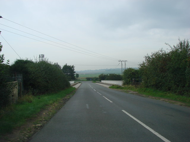
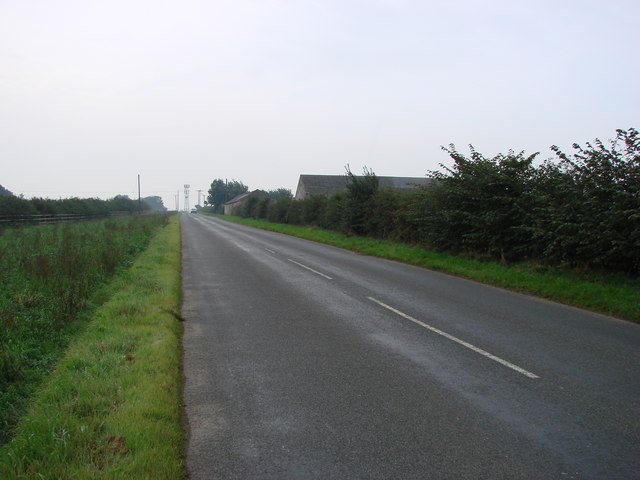
Brodsworth Images

Images are sourced within 2km of 53.561308/-1.233082 or Grid Reference SE5007. Thanks to Geograph Open Source API. All images are credited.

Lound Lane
Lound Lane
View from Lound Lane
Lound Lane, cross paths
Narrow Baulk
Narrow Baulk
In the thick of it Can't seen wood for trees
In the thick of it
Can't seen wood for trees
Lound Lane A tree-lined concessionary track and concessionary footpath
Lound Lane
A tree-lined concessionary track and concessionary footpath
Junction of Lound Lane and Narrow Balk A junction of byway, bridleway and footpath. a byway
Junction of Lound Lane and Narrow Balk
A junction of byway, bridleway and footpath. a byway
Clearing in Hampole Wood
Brodsworth Hall A view from the driveway leading to the house. Brodsworth was built in 1859, and is one of the most complete Victorian mansions. It is now owned by English Heritage.
Brodsworth Hall
A view from the driveway leading to the house. Brodsworth was built in 1859, and is one of the most complete Victorian mansions. It is now owned by English Heritage.
Brodsworth, South Yorkshire, St Michael's Church This Church is in the grounds of Brodsworth Hall,which is now owned by English Heritage.
Brodsworth, South Yorkshire, St Michael's Church
This Church is in the grounds of Brodsworth Hall,which is now owned by English Heritage.
Longlands Lane Bridge, crossing the A1(M)
Looking south down Redhouse Lane, with Windy Mount Farm on the right.
Markham Grange Garden Centre. Markham Grange Garden Centre is built on the site of the former Markham Grange Colliery. This hige garden centre also houses a shopping mall and a cafe.
Markham Grange Garden Centre.
Markham Grange Garden Centre is built on the site of the former Markham Grange Colliery. This hige garden centre also houses a shopping mall and a cafe.
Markham Grange Garden Centre and Shopping Mall exit.
Redhouse Lane, looking north, with the A1(M), Doncaster Bypass, running  alongside to the right of picture.
Redhouse Lane, looking north, with the A1(M), Doncaster Bypass, running alongside to the right of picture.
Markham Grange Steam Museum This is next door to the Markham Grange Nursery and is a veritable temple of reciprocating stationary and marine steam engines. A visit is recommended strongly.
Markham Grange Steam Museum
This is next door to the Markham Grange Nursery and is a veritable temple of reciprocating stationary and marine steam engines. A visit is recommended strongly.
Hampole Woods
Hampole Woods
Hampole Grange.
Hampole Grange.
Show me another place!

Brodsworth is located at Grid Ref: SE5007 (Lat: 53.561308, Lng: -1.233082)

Division: West Riding

Administrative County: South Yorkshire

District: Doncaster

Police Authority: South Yorkshire

What 3 Words

///finishing.subtitle.pirates. Near Marr, South Yorkshire

Related Wikis

Brodsworth

Brodsworth is a village and civil parish in the City of Doncaster district in South Yorkshire, England. Situated about five miles north-west of Doncaster...

Brodsworth Hall

Brodsworth Hall, near Brodsworth, 5 miles (8 km) north-west of Doncaster in South Yorkshire, is one of the most complete surviving examples of a Victorian...

Pickburn and Brodsworth railway station

Pickburn and Brodsworth railway station was a small railway station situated on the South Yorkshire Junction Railway's line between Wrangbrook Junction...

Pickburn

Pickburn is a hamlet in South Yorkshire, England, close to the village of Brodsworth and Brodsworth Hall. == History == The hamlet appears to get its name...

Nearby Amenities

Located within 500m of 53.561308,-1.233082
Bus Stop
Pickburn Lane/Red House Lane
Naptan AtcoCode: 370040893
Naptan Bearing: W
Naptan CommonName: Pickburn Lane/Red House Lane
Naptan Indicator: 40893
Naptan Landmark: School/Road Junction
Naptan PlusbusZoneRef: ROTHCEN
Naptan Street: Pickburn Lane
Naptan Verified: no
Source: naptan_import
Lat/Long: 53.5605533/-1.2270838
Bus Stop
Brodsworth Road/Brodsworth Church
Alt Name: Brodsworth Road/Brodsworth Church
Naptan AltCommonName: Brodsworth Road/Brodsworth Church
Naptan AtcoCode: 370040898
Naptan Bearing: SW
Naptan CommonName: Brodsworth Road/Brodsworth Church
Naptan Indicator: 40898
Naptan Landmark: Brodsworth Church
Naptan PlusbusZoneRef: ROTHCEN
Naptan Street: Brodsworth Road
Naptan Verified: no
Source: naptan_import
Lat/Long: 53.5601436/-1.2360591
Bus Stop
Brodsworth Road/The Cliff
Alt Name: Brodsworth Road/The Cliff
Naptan AltCommonName: Brodsworth Road/The Cliff
Naptan AtcoCode: 370041099
Naptan Bearing: W
Naptan CommonName: Brodsworth Road/The Cliff
Naptan Indicator: 41099
Naptan Landmark: Glebe Farm
Naptan PlusbusZoneRef: ROTHCEN
Naptan Street: Brodsworth Road
Naptan Verified: no
Source: naptan_import
Lat/Long: 53.5599839/-1.2392173
Brodsworth Road/The Cliff
Alt Name: Brodsworth Road/The Cliff
Naptan AltCommonName: Brodsworth Road/The Cliff
Naptan AtcoCode: 370045906
Naptan Bearing: E
Naptan BusStopType: CUS
Naptan CommonName: Brodsworth Road/The Cliff
Naptan Indicator: 45906
Naptan Landmark: GLEBE FARM
Naptan PlusbusZoneRef: ROTHCEN
Naptan Street: Brodsworth Road
Naptan Verified: no
Source: naptan_import
Lat/Long: 53.5601103/-1.2393056
Bus Stop
Pickburn Lane/Long Lands Lane
Alt Name: Pickburn Lane/Long Lands Lane
Naptan AltCommonName: Pickburn Lane/Long Lands Lane
Naptan AtcoCode: 370046062
Naptan Bearing: E
Naptan CommonName: Pickburn Lane/Long Lands Lane
Naptan Indicator: 46062
Naptan Landmark: Pickburn Post Office
Naptan PlusbusZoneRef: ROTHCEN
Naptan Street: Pickburn Lane
Naptan Verified: no
Source: naptan_import
Lat/Long: 53.5607495/-1.2268387
Bus Stop
Brodsworth Road/Ling Field Road
Alt Name: Brodsworth Road/Ling Field Road
Naptan AltCommonName: Brodsworth Road/Ling Field Road
Naptan AtcoCode: 370045550
Naptan Bearing: E
Naptan CommonName: Brodsworth Road/Ling Field Road
Naptan Indicator: 45550
Naptan Landmark: Big Tree House
Naptan PlusbusZoneRef: ROTHCEN
Naptan Street: Brodsworth Road
Naptan Verified: no
Source: naptan_import
Lat/Long: 53.5607288/-1.2347954
Bus Stop
Hooton Road/Red House Lane
Alt Name: Hooton Road/Red House Lane
Naptan AltCommonName: Hooton Road/Red House Lane
Naptan AtcoCode: 370045551
Naptan Bearing: E
Naptan CommonName: Hooton Road/Red House Lane
Naptan Indicator: 45551
Naptan Landmark: Streetlight No 43339
Naptan PlusbusZoneRef: ROTHCEN
Naptan Street: Hooton Road
Naptan Verified: no
Source: naptan_import
Lat/Long: 53.5606884/-1.2285156
Hooton Road/Red House Lane
Alt Name: Hooton Road/Red House Lane
Naptan AltCommonName: Hooton Road/Red House Lane
Naptan AtcoCode: 370046109
Naptan Bearing: W
Naptan BusStopType: CUS
Naptan CommonName: Hooton Road/Red House Lane
Naptan Indicator: 46109
Naptan Landmark: 46109
Naptan PlusbusZoneRef: ROTHCEN
Naptan Street: Hooton Road
Naptan Verified: no
Source: naptan_import
Lat/Long: 53.5605534/-1.2284879
Brodsworth
Place: village
Lat/Long: 53.5603787/-1.2403015
Power: pole
Lat/Long: 53.5630157/-1.2262732
Power: pole
Lat/Long: 53.5633952/-1.2287752
Power: pole
Lat/Long: 53.5637412/-1.2308916
Power: pole
Lat/Long: 53.5641881/-1.2334808
Power: pole
Lat/Long: 53.5645876/-1.2358749
Toilets
Lat/Long: 53.5582557/-1.2378074
The data included in this document is from www.openstreetmap.org. The data is made available under ODbL.

Have you been to Brodsworth?

Leave your review of Brodsworth below (or comments, questions and feedback).