Brogborough
Civil Parish in Bedfordshire
England
Brogborough

Brogborough is a civil parish located in the county of Bedfordshire, England. It is situated approximately 5 miles southeast of Bedford and 3 miles north of Cranfield. The parish covers an area of about 6.5 square miles.
Despite its small size, Brogborough is notable for its proximity to the Brogborough Lake, a popular destination for water sports enthusiasts. The lake, covering an area of 386 acres, offers opportunities for activities such as sailing, windsurfing, and jet skiing. It also attracts anglers who come to fish for a variety of species.
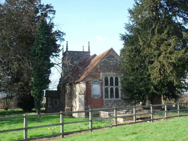
The village itself is sparsely populated, with a small number of residential properties and a local church, St. Lawrence Church, which dates back to the 13th century. The church features several interesting architectural details, including stained glass windows and a medieval tower.
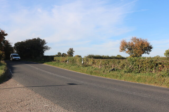
The surrounding countryside is predominantly agricultural, with farmland and open fields characterizing the landscape. The area is renowned for its picturesque views and peaceful atmosphere, making it a popular spot for countryside walks and nature enthusiasts.
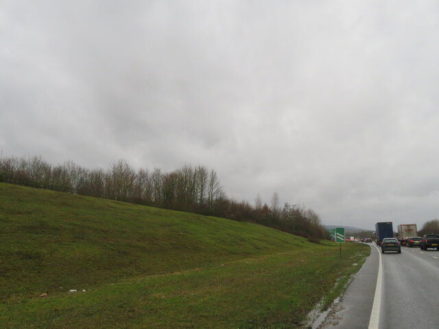
While there are limited amenities within the parish, the nearby towns of Bedford and Milton Keynes offer a range of facilities including shops, schools, and healthcare services. Brogborough benefits from good transport links, with the A421 road passing just south of the village, providing easy access to nearby towns and cities.
Overall, Brogborough is a small yet charming civil parish known for its beautiful lake, rural landscape, and historic church, offering a tranquil retreat for residents and visitors alike.
If you have any feedback on the listing, please let us know in the comments section below.
Brogborough Images
Images are sourced within 2km of 52.036862/-0.599142 or Grid Reference SP9638. Thanks to Geograph Open Source API. All images are credited.


![Tourist attraction direction sign on the A421 Popular local destinations of Woburn Abbey and Safari Park, and Center [sic] Parcs.](https://s1.geograph.org.uk/geophotos/07/68/03/7680329_3138e61f.jpg)
Brogborough is located at Grid Ref: SP9638 (Lat: 52.036862, Lng: -0.599142)
Unitary Authority: Central Bedfordshire
Police Authority: Bedfordshire
What 3 Words
///rooks.petted.acclaimed. Near Husborne Crawley, Bedfordshire
Nearby Locations
Related Wikis

Brogborough
Brogborough is a village and civil parish in the Central Bedfordshire district of Bedfordshire, England, by junction 13 of the M1 motorway. According...
Rugemont Castle
Rugemont Castle was a castle in the village of Ridgmont, in the county of Bedfordshire, England (grid reference SP97033846). == History == Not much is...
Hulcote, Bedfordshire
Hulcote is a village and (as Holcot) a former civil parish, now in the parish of Hulcote and Salford, in the Central Bedfordshire district of the ceremonial...
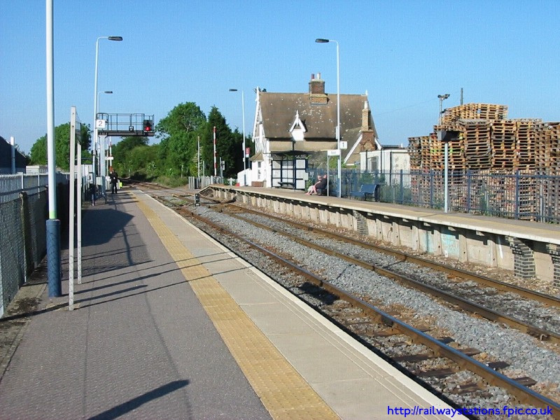
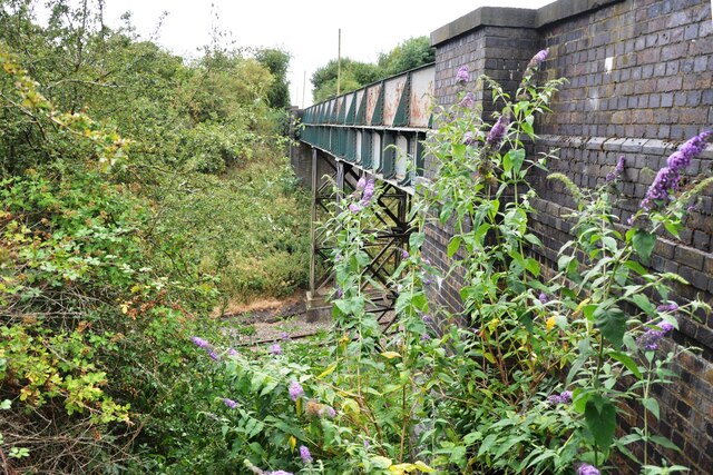
Ridgmont railway station
Ridgmont railway station is a small unstaffed railway station that serves the village of Ridgmont in Bedfordshire. The station is about 1 mile (2 km) away...
Nearby Amenities
Located within 500m of 52.036862,-0.599142Have you been to Brogborough?
Leave your review of Brogborough below (or comments, questions and feedback).