Brogborough Hill
Hill, Mountain in Bedfordshire
England
Brogborough Hill

Brogborough Hill, located in Bedfordshire, England, is a prominent geographical feature that stands at an elevation of 119 meters (390 feet) above sea level. Although referred to as a hill, it is often described as a small mountain due to its distinct appearance and relative height compared to the surrounding landscape.
Situated near the village of Brogborough, the hill is part of a chalk escarpment known as the Greensand Ridge. This formation stretches across several counties in southern England, and Brogborough Hill stands as one of the most notable peaks within this range.
The hill offers stunning panoramic views of the surrounding countryside, including the nearby Marston Vale and the expansive Bedfordshire plains. Its commanding position makes it a popular spot for outdoor enthusiasts, hikers, and nature lovers who appreciate the beauty of the area.
Brogborough Hill is also known for its rich biodiversity and serves as a habitat for various plant and animal species. The chalk grassland that covers the slopes of the hill supports a diverse range of wildflowers, including orchids, and provides a suitable environment for rare butterfly species.
Despite its relatively modest height, the hill has played a significant role in the local history and folklore. Over the years, it has been a place of human activity, with archaeological evidence suggesting ancient settlements and burial sites in the vicinity.
Overall, Brogborough Hill stands as an important natural landmark in Bedfordshire, offering both scenic beauty and ecological significance for those who visit or live in the area.
If you have any feedback on the listing, please let us know in the comments section below.
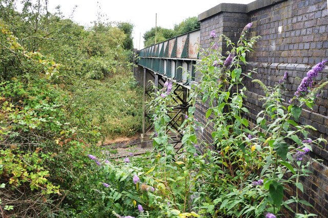
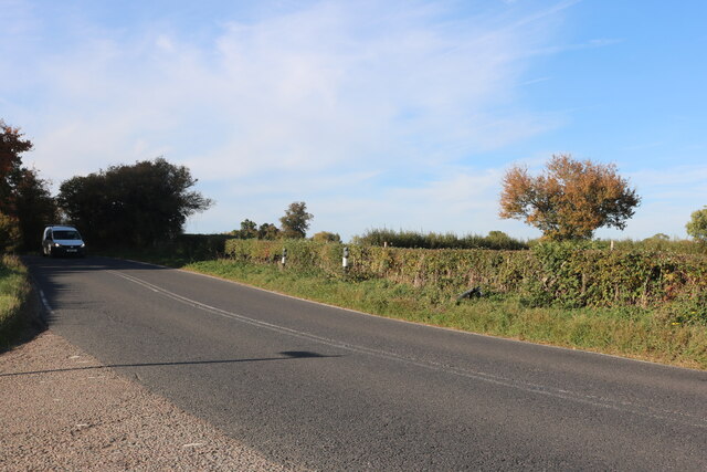
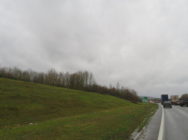
Brogborough Hill Images
Images are sourced within 2km of 52.037756/-0.59670862 or Grid Reference SP9638. Thanks to Geograph Open Source API. All images are credited.


![Tourist attraction direction sign on the A421 Popular local destinations of Woburn Abbey and Safari Park, and Center [sic] Parcs.](https://s1.geograph.org.uk/geophotos/07/68/03/7680329_3138e61f.jpg)


Brogborough Hill is located at Grid Ref: SP9638 (Lat: 52.037756, Lng: -0.59670862)
Unitary Authority: Central Bedfordshire
Police Authority: Bedfordshire
What 3 Words
///powers.loudness.butterfly. Near Husborne Crawley, Bedfordshire
Nearby Locations
Related Wikis

Brogborough
Brogborough is a village and civil parish in the Central Bedfordshire district of Bedfordshire, England, by junction 13 of the M1 motorway. According...
Rugemont Castle
Rugemont Castle was a castle in the village of Ridgmont, in the county of Bedfordshire, England (grid reference SP97033846). == History == Not much is...
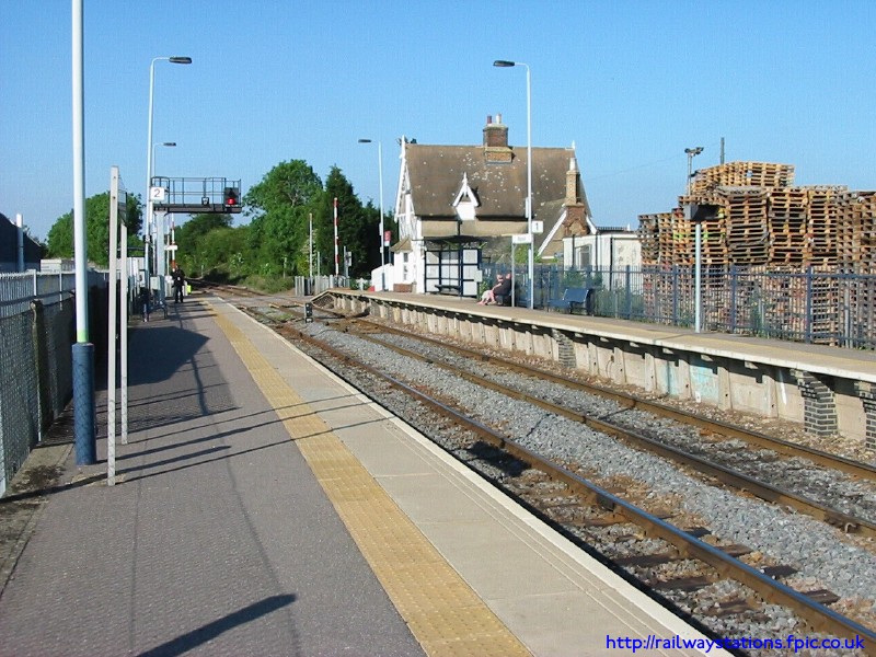
Ridgmont railway station
Ridgmont railway station is a small unstaffed railway station that serves the village of Ridgmont in Bedfordshire. The station is about 1 mile (2 km) away...
Hulcote, Bedfordshire
Hulcote is a village and (as Holcot) a former civil parish, now in the parish of Hulcote and Salford, in the Central Bedfordshire district of the ceremonial...
Nearby Amenities
Located within 500m of 52.037756,-0.59670862Have you been to Brogborough Hill?
Leave your review of Brogborough Hill below (or comments, questions and feedback).