White's Hill
Hill, Mountain in Sussex Chichester
England
White's Hill
White's Hill is a prominent hill located in the county of Sussex, England. It is part of the South Downs, a range of chalk hills that stretches across several counties in southern England. Rising to an elevation of approximately 218 meters (715 feet), White's Hill offers breathtaking panoramic views of the surrounding countryside.
The hill is characterized by its distinctive white chalky appearance, which is a result of the underlying chalk geology that dominates the South Downs. This unique feature contributes to the hill's name and adds to its visual appeal. White's Hill is covered in grass and scattered patches of shrubs and trees, creating a picturesque landscape.
The hill is a popular destination for outdoor enthusiasts, hikers, and nature lovers. Numerous walking trails and footpaths traverse the area, allowing visitors to explore the hill and enjoy the stunning vistas it offers. The summit of White's Hill provides a particularly stunning viewpoint, where visitors can witness the undulating hills of the South Downs, the nearby towns and villages, and even the English Channel on clear days.
Aside from its natural beauty, White's Hill also has historical significance. It is believed to have been used as a burial site during the Bronze Age, with archaeological remains discovered in the vicinity. The hill is also home to diverse wildlife, including various bird species, insects, and small mammals.
Overall, White's Hill is a captivating natural landmark in Sussex, offering both scenic beauty and historical intrigue to those who visit.
If you have any feedback on the listing, please let us know in the comments section below.
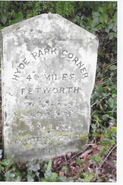
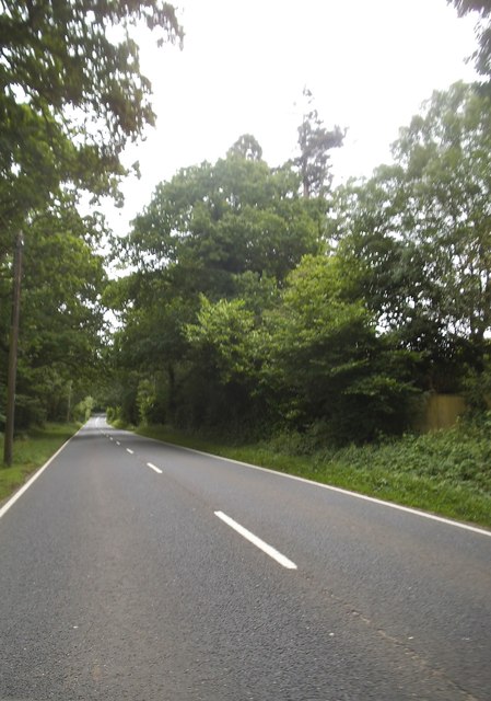
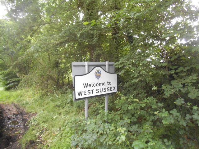
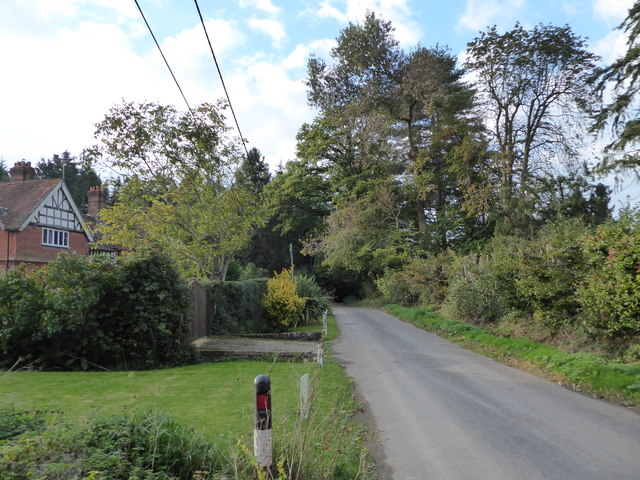
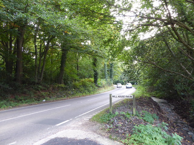
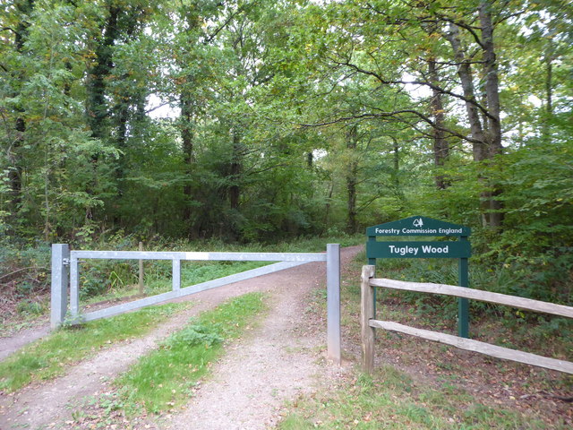
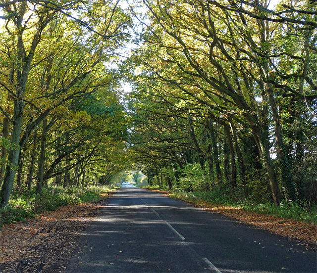
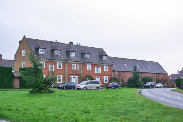
White's Hill Images
Images are sourced within 2km of 51.084682/-0.62425484 or Grid Reference SU9632. Thanks to Geograph Open Source API. All images are credited.


White's Hill is located at Grid Ref: SU9632 (Lat: 51.084682, Lng: -0.62425484)
Administrative County: West Sussex
District: Chichester
Police Authority: Sussex
What 3 Words
///fears.fragments.broadens. Near Chiddingfold, Surrey
Nearby Locations
Related Wikis

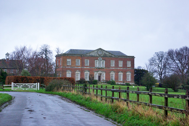
Shillinglee
Shillinglee is an 18th-century house and estate in West Sussex, England near the Surrey border, in between the villages of Chiddingfold and Plaistow. It...

The Farm (recording studio)
The Farm (also known as Fisher Lane Farm) was a recording studio in Chiddingfold, Surrey owned by the rock band Genesis. The group bought the property...

Pickhurst
Pickhurst is a grade II* listed house set in 130 acres (53 ha) of land near Chiddingfold, Surrey, England. == History == It was designed by the Scottish...

Shillinglee Lake
Shillinglee Lake is a 17-hectare (42-acre) biological Site of Special Scientific Interest west of Plaistow in West Sussex.The lake has been designated...

Ramster
Ramster Garden is an open garden, near Chiddingfold, Surrey, covering over 20 acres (81,000 m2). First landscaped and laid out in the 1890s by Gauntlett...

Ramsnest Common
Ramsnest Common is a hamlet in the far south of the Borough of Waverley, the largest district of Surrey, England centred on the A283 1.5 miles (2.4 km...

Netherside Stream Outcrops
Netherside Stream Outcrops is a 2.9-hectare (7.2-acre) geological Site of Special Scientific Interest north-east of Haslemere in Surrey. It is a Geological...

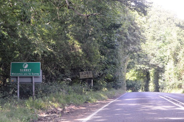
Chiddingfold
Chiddingfold is a village and civil parish in the Weald in the Waverley district of Surrey, England. It lies on the A283 road between Milford and Petworth...
Nearby Amenities
Located within 500m of 51.084682,-0.62425484Have you been to White's Hill?
Leave your review of White's Hill below (or comments, questions and feedback).