Temple Hill

Hill, Mountain in Berkshire

England

Temple Hill

Totem Pole, Windsor Great Park The 100-foot pole bears traditional First Nations carvings and was a gift from the Canadian province of British Columbia to the Queen in 1958.
Totem Pole, Windsor Great Park Credit: Mark Percy

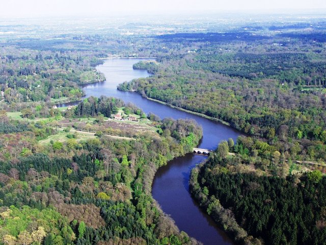
Temple Hill is a prominent hill located in Berkshire, England. It is part of the Chiltern Hills, an area renowned for its beautiful countryside and scenic landscape. Rising to an elevation of approximately 244 meters (800 feet), Temple Hill offers breathtaking panoramic views of the surrounding region.

The hill derives its name from the Knights Templar, a medieval Christian military order that once owned land in the area. Their presence is still evident today through the remains of a preceptory, a building where the Templars would have conducted their meetings and business. This historical connection adds an intriguing element to Temple Hill's allure.

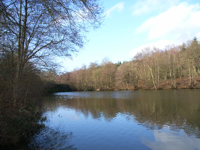
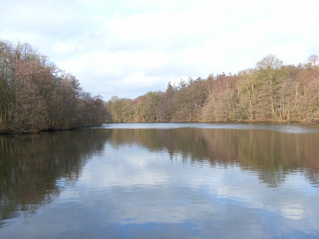
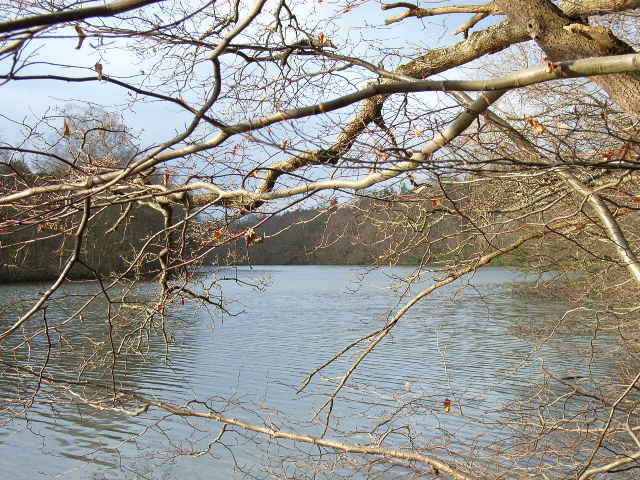
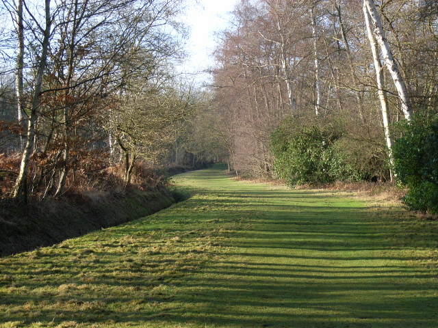
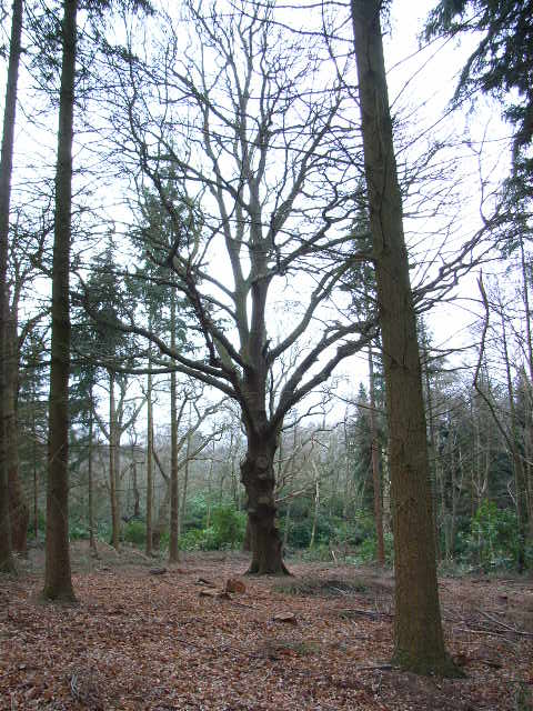
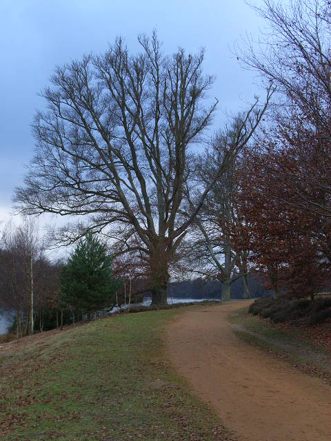
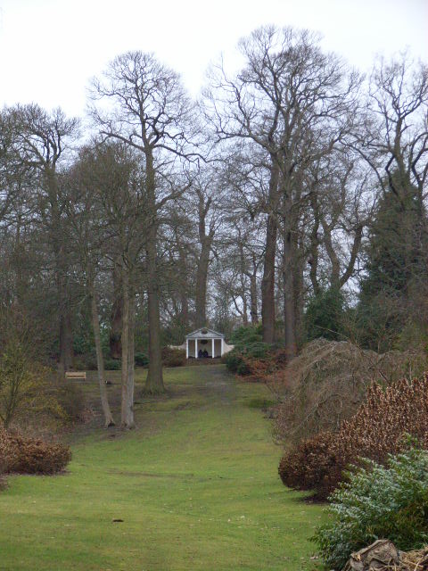
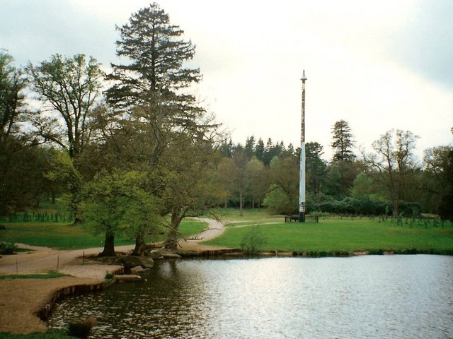
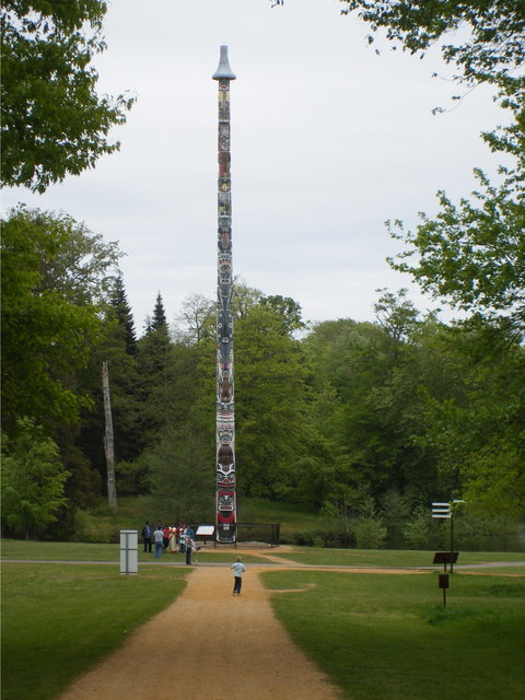
The hill itself is characterized by its gently sloping terrain and is covered in a mixture of grassland and woodland, providing a habitat for a diverse range of flora and fauna. It is a popular destination for outdoor enthusiasts, offering numerous walking and hiking trails that cater to all levels of fitness. The paths meander through ancient woodlands and open fields, providing a tranquil and immersive experience for visitors.

Temple Hill also boasts an abundance of wildlife, including various bird species, rabbits, and deer. The hill's peaceful ambiance and natural beauty make it an ideal spot for birdwatching and nature photography.

In conclusion, Temple Hill in Berkshire is a captivating and historically significant hill that offers visitors a chance to immerse themselves in the natural beauty of the Chiltern Hills. Whether it's exploring the remnants of the Knights Templar or enjoying a leisurely hike through the stunning landscape, Temple Hill is a must-visit destination for both history lovers and nature enthusiasts alike.

If you have any feedback on the listing, please let us know in the comments section below.
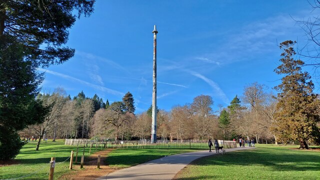
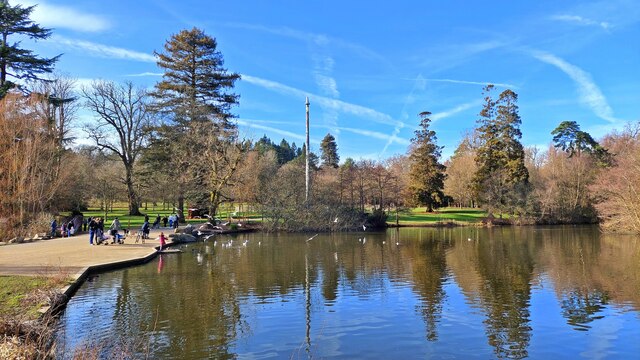
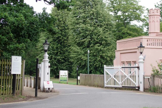
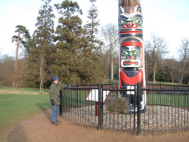
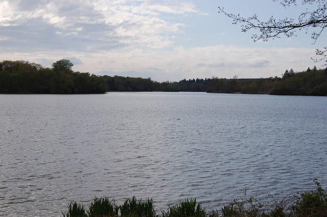
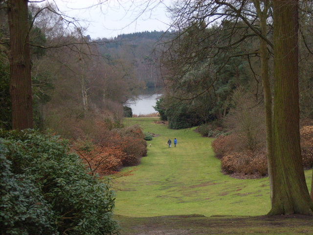
Temple Hill Images

Images are sourced within 2km of 51.42672/-0.61382183 or Grid Reference SU9670. Thanks to Geograph Open Source API. All images are credited.

Totem Pole, Windsor Great Park The 100-foot pole bears traditional First Nations carvings and was a gift from the Canadian province of British Columbia to the Queen in 1958.
Totem Pole, Windsor Great Park
The 100-foot pole bears traditional First Nations carvings and was a gift from the Canadian province of British Columbia to the Queen in 1958.
Wick Pond, Windsor Great Park Looking across Wick Pond to the totem pole.
Wick Pond, Windsor Great Park
Looking across Wick Pond to the totem pole.
Charles III's Back Garden Gate The automatic gates to the grounds of Charlie's dacha in Windsor. They are normally closed 
see <a href="https://www.geograph.org.uk/photo/6385571">SU9568 : Blacknest Gate and Lodge</a>
Charles III's Back Garden Gate
The automatic gates to the grounds of Charlie's dacha in Windsor. They are normally closed see SU9568 : Blacknest Gate and Lodge
Virginia Water This Totem Pole is located on the extreme western edge of the square in Virginia Water.
Virginia Water
This Totem Pole is located on the extreme western edge of the square in Virginia Water.
The western end of Virginia Water
Johnson's Pond, Windsor Great Park A small waterfall connects this to Virginia Water.
Johnson's Pond, Windsor Great Park
A small waterfall connects this to Virginia Water.
The Valley Gardens, Windsor Great Park The view from a gazebo in the gardens down to Virginia Water.
The Valley Gardens, Windsor Great Park
The view from a gazebo in the gardens down to Virginia Water.
Virginia Water Looking west from near the bridge that crosses the lake.
Virginia Water
Looking west from near the bridge that crosses the lake.
Track beside Virginia Water The track along the south of the lake.
Track beside Virginia Water
The track along the south of the lake.
Woodland in Windsor Great Park Near American Clump to the north of Virginia Water.
Woodland in Windsor Great Park
Near American Clump to the north of Virginia Water.
The banks of Virginia Water in Valley Gardens
Gazebo in Valley Gardens
Totem pole at Virginia Water The totem pole is situated at the northern end of Virginia Water lake in Windsor Great Park
Totem pole at Virginia Water
The totem pole is situated at the northern end of Virginia Water lake in Windsor Great Park
Virginia Water Aerial view of the Lake
Virginia Water
Aerial view of the Lake
Totem Pole, Virginia Water Given to The Queen in 1958.
Totem Pole, Virginia Water
Given to The Queen in 1958.
Valley Gardens, Virginia Water
Devil's Punchbowl, Valley Gardens Virginia Water
Devil's Punchbowl, Valley Gardens
Virginia Water
Virginia Water
Virginia Water
Show me another place!

Temple Hill is located at Grid Ref: SU9670 (Lat: 51.42672, Lng: -0.61382183)

Unitary Authority: Windsor and Maidenhead

Police Authority: Thames Valley

What 3 Words

///privately.owls.remind. Near Sunningdale, Berkshire

Related Wikis

Cumberland Lodge

Cumberland Lodge is a 17th-century Grade II listed country house in Windsor Great Park 3.5 miles south of Windsor Castle. Since 1947 it has been occupied...
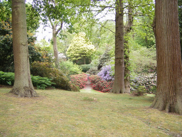
Savill Garden

The Savill Garden is an enclosed part of Windsor Great Park in England, created by Sir Eric Savill in the 1930s. It is managed by the Crown Estate and...

Savill Building

The Savill Building is a visitor centre at the entrance to The Savill Garden in Windsor Great Park, Surrey, England designed by Glen Howells Architects...
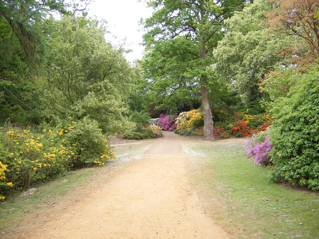
Valley Gardens

The Valley Gardens are 220 acres (0.89 km2) of woodland garden, part of the Crown Estate located near Englefield Green in the English county of Surrey...

Nearby Amenities

Located within 500m of 51.42672,-0.61382183
Norfolk Farm
Naptan AtcoCode: 036006001402
Naptan Bearing: E
Naptan BusStopType: CUS
Naptan CommonName: Norfolk Farm
Naptan Indicator: adj
Naptan Landmark: Mill Covert
Naptan NaptanCode: winadpw
Naptan Street: Norfolk Plantation
Naptan Verified: no
Source: naptan_import
Lat/Long: 51.42322/-0.61785
Temple Hill
Natural: peak
Lat/Long: 51.4260334/-0.613957
Harewarren Clump
Natural: wood
Lat/Long: 51.4229713/-0.6113356
Cork Clump
Natural: wood
Lat/Long: 51.4248311/-0.6102198
The Prince Consort's Statue
Historic: monument
Lat/Long: 51.4236098/-0.6092444
The data included in this document is from www.openstreetmap.org. The data is made available under ODbL.

Have you been to Temple Hill?

Leave your review of Temple Hill below (or comments, questions and feedback).