Brogborough
Settlement in Bedfordshire
England
Brogborough

Brogborough is a small village located in the county of Bedfordshire, England. Situated approximately 50 miles north of London, it is nestled between the towns of Bedford and Milton Keynes. The village is predominantly rural, with a population of around 200 residents.
Brogborough is known for its picturesque countryside and tranquil surroundings. The village is surrounded by farmland and patches of woodland, offering residents and visitors a peaceful and idyllic environment. The River Great Ouse flows nearby, adding to the natural beauty of the area.
Despite its small size, Brogborough offers a range of amenities to its residents. The village has a local pub, The Wheatsheaf, which serves as a social hub for the community. There is also a primary school, providing education for young children in the area.
One notable feature of Brogborough is the Brogborough Hill Off-Road Cycle Track. This purpose-built track provides a challenging terrain for mountain bikers and off-road cyclists. It has hosted various national and international events, attracting enthusiasts from far and wide.
Brogborough benefits from its convenient location, with easy access to major transport links. The nearby A421 road connects the village to the M1 motorway, enabling residents to easily commute to nearby towns and cities.
Overall, Brogborough offers a peaceful and scenic retreat for those seeking a rural lifestyle, while still providing access to essential amenities and transport connections.
If you have any feedback on the listing, please let us know in the comments section below.
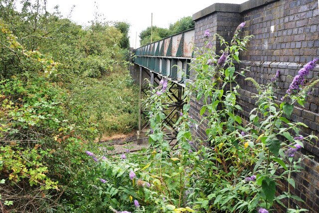
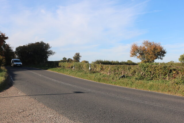
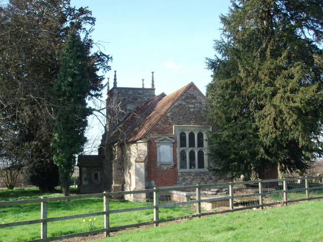
Brogborough Images
Images are sourced within 2km of 52.033895/-0.596858 or Grid Reference SP9638. Thanks to Geograph Open Source API. All images are credited.


Brogborough is located at Grid Ref: SP9638 (Lat: 52.033895, Lng: -0.596858)
Unitary Authority: Central Bedfordshire
Police Authority: Bedfordshire
What 3 Words
///declares.sized.loosens. Near Husborne Crawley, Bedfordshire
Nearby Locations
Related Wikis

Brogborough
Brogborough is a village and civil parish in the Central Bedfordshire district of Bedfordshire, England, by junction 13 of the M1 motorway. According...
Rugemont Castle
Rugemont Castle was a castle in the village of Ridgmont, in the county of Bedfordshire, England (grid reference SP97033846). == History == Not much is...
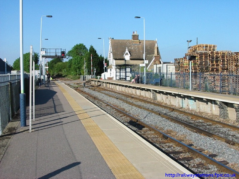
Ridgmont railway station
Ridgmont railway station is a small unstaffed railway station that serves the village of Ridgmont in Bedfordshire. The station is about 1 mile (2 km) away...
Hulcote, Bedfordshire
Hulcote is a village and (as Holcot) a former civil parish, now in the parish of Hulcote and Salford, in the Central Bedfordshire district of the ceremonial...
Nearby Amenities
Located within 500m of 52.033895,-0.596858Have you been to Brogborough?
Leave your review of Brogborough below (or comments, questions and feedback).