Broginin

Settlement in Cardiganshire

Wales

Broginin

Pen-y-Berth The barns have had a make-over since <a href="https://www.geograph.org.uk/photo/3091485">SN6483 : Pen-y-berth, near Penrhyn-coch</a>
Pen-y-Berth Credit: Eirian Evans

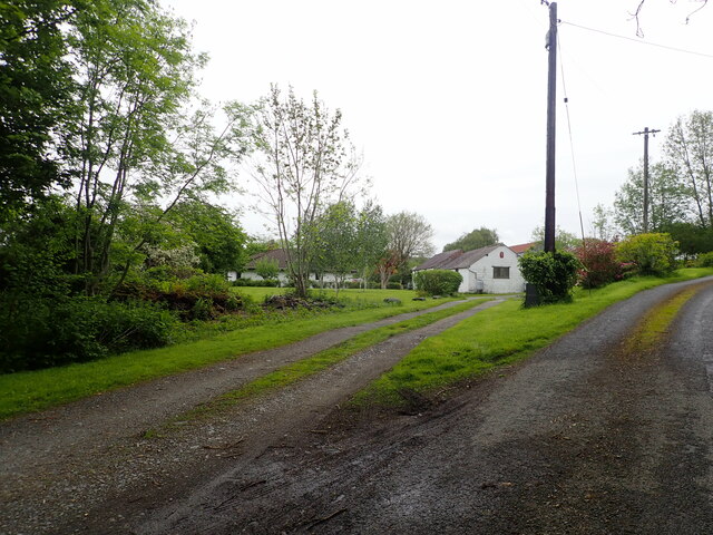
Broginin is a small village located in Cardiganshire, a historic county in Wales, United Kingdom. Situated in the western part of the country, Broginin is nestled amidst picturesque landscapes and rolling hills, offering a serene and tranquil environment.

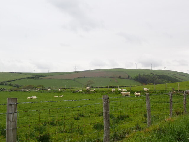
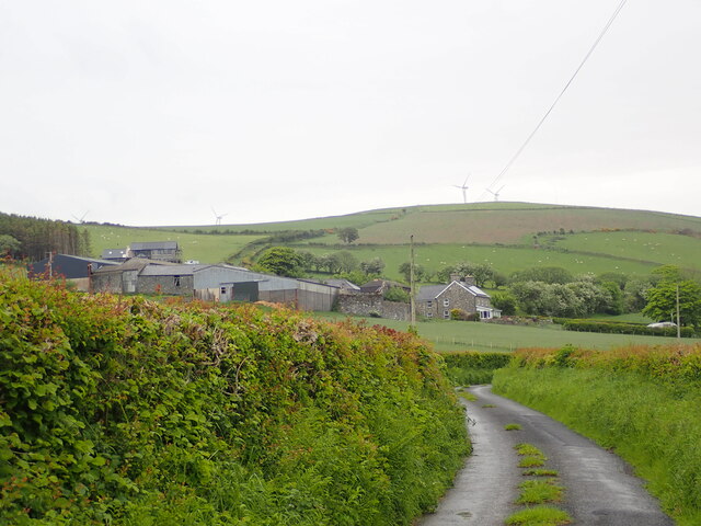
The village is home to a close-knit community, with a population of around 500 residents. The local economy primarily relies on agriculture, with farming being the main occupation for many inhabitants. The fertile land surrounding Broginin is ideal for cultivating crops and rearing livestock, contributing to the region's reputation for high-quality agricultural produce.

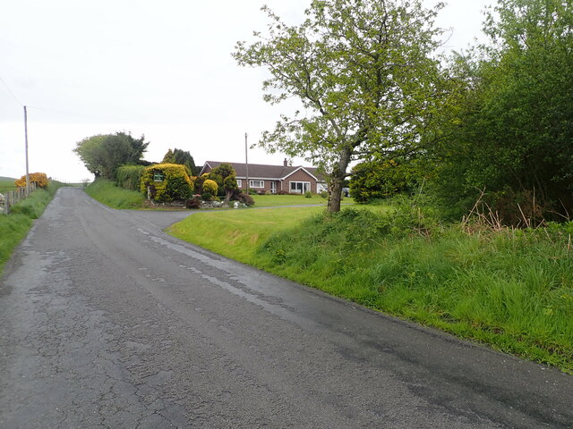
Although small in size, the village boasts a few amenities to cater to its residents' needs. These include a local pub, a small convenience store, and a primary school, providing essential services and fostering community spirit. The village also benefits from its proximity to larger towns and cities, with Cardigan and Aberystwyth both within easy reach, offering a wider range of amenities and employment opportunities.

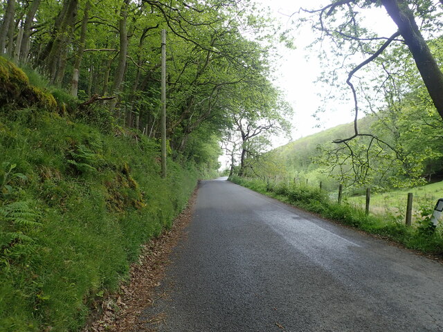
Broginin's scenic surroundings make it an attractive destination for nature enthusiasts and outdoor enthusiasts. The village is surrounded by lush green fields, offering ample opportunities for walking, hiking, and exploring the beautiful Welsh countryside. The nearby coastline, with its sandy beaches and rugged cliffs, provides residents and visitors alike with a chance to enjoy a range of water-based activities, such as surfing and sailing.

In conclusion, Broginin is a charming village in Cardiganshire, Wales, known for its agricultural heritage, close-knit community, and stunning natural landscapes.

If you have any feedback on the listing, please let us know in the comments section below.
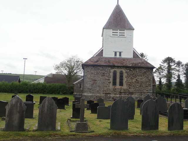
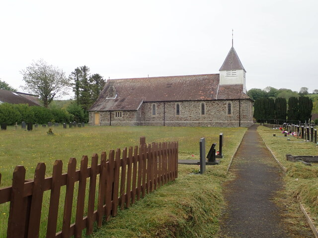
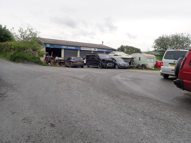
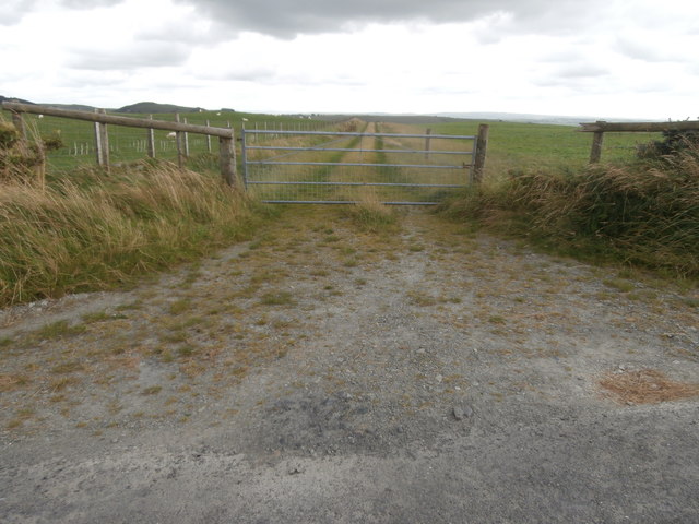
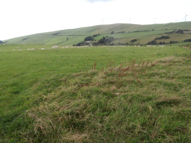
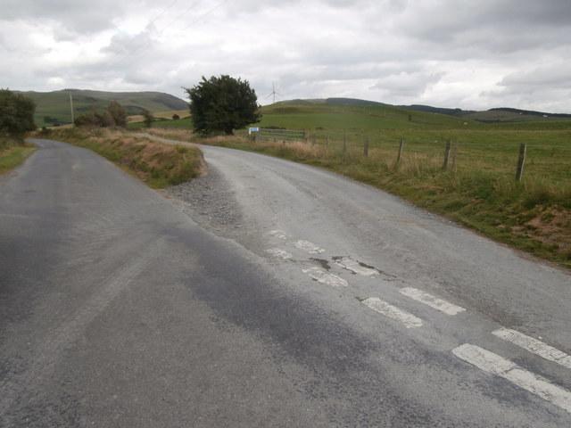
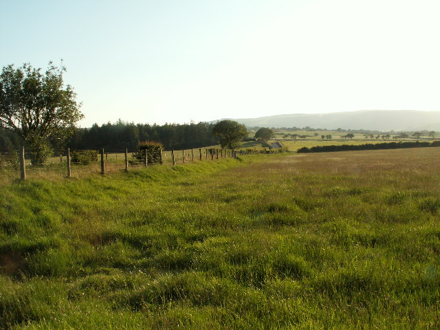
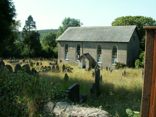
Broginin Images

Images are sourced within 2km of 52.443107/-3.968987 or Grid Reference SN6684. Thanks to Geograph Open Source API. All images are credited.

Pen-y-Berth The barns have had a make-over since <a href="https://www.geograph.org.uk/photo/3091485">SN6483 : Pen-y-berth, near Penrhyn-coch</a>
Pen-y-Berth
The barns have had a make-over since SN6483 : Pen-y-berth, near Penrhyn-coch
St John's Church, Penrhyn-Coch
Afon Stewi River This stream joins with Nant Silo to become the River Clarach
Afon Stewi River
This stream joins with Nant Silo to become the River Clarach
Cwrt Garage Half way up a hill north of Penrhyn-Coch
Cwrt Garage
Half way up a hill north of Penrhyn-Coch
Minor road north from Penrhyn Coch Quite a steep ascent from the village, and a short stretch now through Coed Pen-y-Cwm
Minor road north from Penrhyn Coch
Quite a steep ascent from the village, and a short stretch now through Coed Pen-y-Cwm
Pen-y-Cwm North-east of Bow Street
Pen-y-Cwm
North-east of Bow Street
Grazing sheep at Pen-y-Cwm The windfarm on the horizon is on Banc Mynydd Gorddu, a hill in the Pumlumon range, where there are remains of old lead mines.
Grazing sheep at Pen-y-Cwm
The windfarm on the horizon is on Banc Mynydd Gorddu, a hill in the Pumlumon range, where there are remains of old lead mines.
Elgar Farm At the foot of Mynydd Gorddu.
Elgar Farm
At the foot of Mynydd Gorddu.
Cross-roads at Pen-y-cwm
Farmyard at Pen-y-cwm
Junction on the road between Pen-y-cwm and Bont-goch
Track off the road between Pen-y-cwm and Bont-goch
Sheep on pasture land on the north side of the road from Pen-y-cwm to Bont-goch Wind turbines on the skyline.
Sheep on pasture land on the north side of the road from Pen-y-cwm to Bont-goch
Wind turbines on the skyline.
Road junction near Bont-goch
Grassland near Penycefn In the hills, looking west.
Grassland near Penycefn
In the hills, looking west.
Silage bales and pasture near Pen-y-cwm A major feature of rural life.
Silage bales and pasture near Pen-y-cwm
A major feature of rural life.
Ysgol Penrhyn-coch Primary school in the village of Penrhyncoch.
Ysgol Penrhyn-coch
Primary school in the village of Penrhyncoch.
Show me another place!

Broginin is located at Grid Ref: SN6684 (Lat: 52.443107, Lng: -3.968987)

Unitary Authority: Ceredigion

Police Authority: Dyfed Powys

What 3 Words

///flows.sues.kickers. Near Bow Street, Ceredigion

Related Wikis

Broginin

Broginin is a hamlet in the community of Trefeurig, Ceredigion, Wales, which is 74.6 miles (120 km) from Cardiff and 175.7 miles (282.8 km) from London...

Salem, Ceredigion

Salem is a small Welsh village in Ceredigion, located between the Afon Stewi and Nant Seilo rivers. The closest village is Penrhyn-coch. The Salem Independent...

Pen-Rhiw-Newydd

Penrhiwnewydd is a hamlet in the community of Trefeurig, Ceredigion, Wales, which is 74.1 miles (119.2 km) from Cardiff and 175.3 miles (282 km) from London...

Trefeurig

Trefeurig is a community in Mid and West Wales, situated around 4 miles (6.4 km) north-east of Aberystwyth. It is a site of particular prehistoric, Roman...

Nearby Amenities

Located within 500m of 52.443107,-3.968987
Building: yes
Lat/Long: 52.4450757/-3.966389
Building: yes
Lat/Long: 52.444134/-3.9688352
Brogynin
Building: yes
Lat/Long: 52.4432708/-3.9676765
Brogynin Fawr
Place: farm
Lat/Long: 52.4416751/-3.9695647
Building: yes
Lat/Long: 52.4398962/-3.9729765
Direction: 170
Generator Method: photovoltaic
Generator Output Electricity: yes
Generator Solar Modules: 9
Generator Source: solar
Generator Type: solar_photovoltaic_panel
Location: roof
Power: generator
Lat/Long: 52.4398915/-3.9729953
Direction: 260
Generator Method: photovoltaic
Generator Output Electricity: yes
Generator Solar Modules: 8
Generator Source: solar
Generator Type: solar_photovoltaic_panel
Location: roof
Power: generator
Lat/Long: 52.4398588/-3.9732206
Direction: 235
Generator Method: photovoltaic
Generator Output Electricity: yes
Generator Solar Modules: 5
Generator Source: solar
Generator Type: solar_photovoltaic_panel
Location: roof
Power: generator
Lat/Long: 52.4432702/-3.9678347
The data included in this document is from www.openstreetmap.org. The data is made available under ODbL.

Have you been to Broginin?

Leave your review of Broginin below (or comments, questions and feedback).